


American River Parkway
- Park
- Regional draw
- Carmichael
American River Parkway follows the American River through Sacramento County, linking public recreation areas and a long shared-use trail.

The Carmichael area provides several approaches to this wider riverside landscape.
Choose an entrance and route using current county maps rather than treating the parkway as one compact park. The photograph shows an earlier repaved trail section, not today’s construction or surface conditions throughout the corridor. Check current closures, permitted uses and river conditions before arrival. Use authorized paths and distinguish a short riverside walk from a longer cycling or water-based outing.
Visitor details reviewed October 18, 2026. Check official visitor information for current access, admission, and operating arrangements. View on OpenStreetMap.
Image credit: U.S. Army Corps of Engineers Sacramento District / Wikimedia Commons. Original source. Public domain. Resized and converted to WebP; may be cropped for display.
Nearby
More places nearby
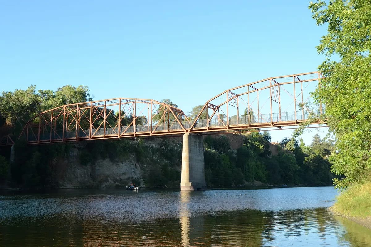 Old Fair Oaks BridgeOld Fair Oaks Bridge spans the American River with a historic metal-truss structure between the Fair Oaks area and the south-bank parkway routes near Gold River.
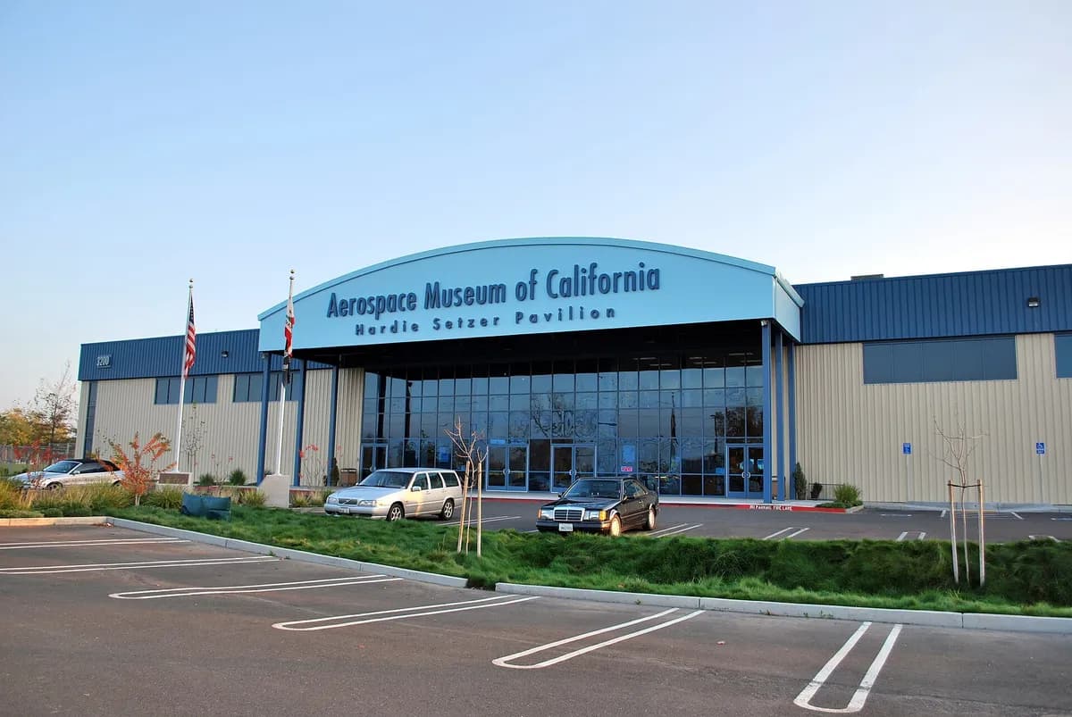 Aerospace Museum of CaliforniaAerospace Museum of California presents aviation and space history at McClellan Park, within the Sacramento region.
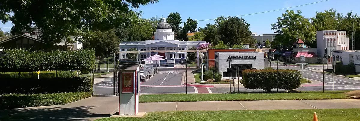 Safetyville USASafetyville USA is a miniature streetscape used for children’s safety education in the Sacramento region, in Mather.
 McKinley ParkMcKinley Park offers lawns, paths, recreation areas, and a well-known rose garden in Sacramento's residential neighborhoods.
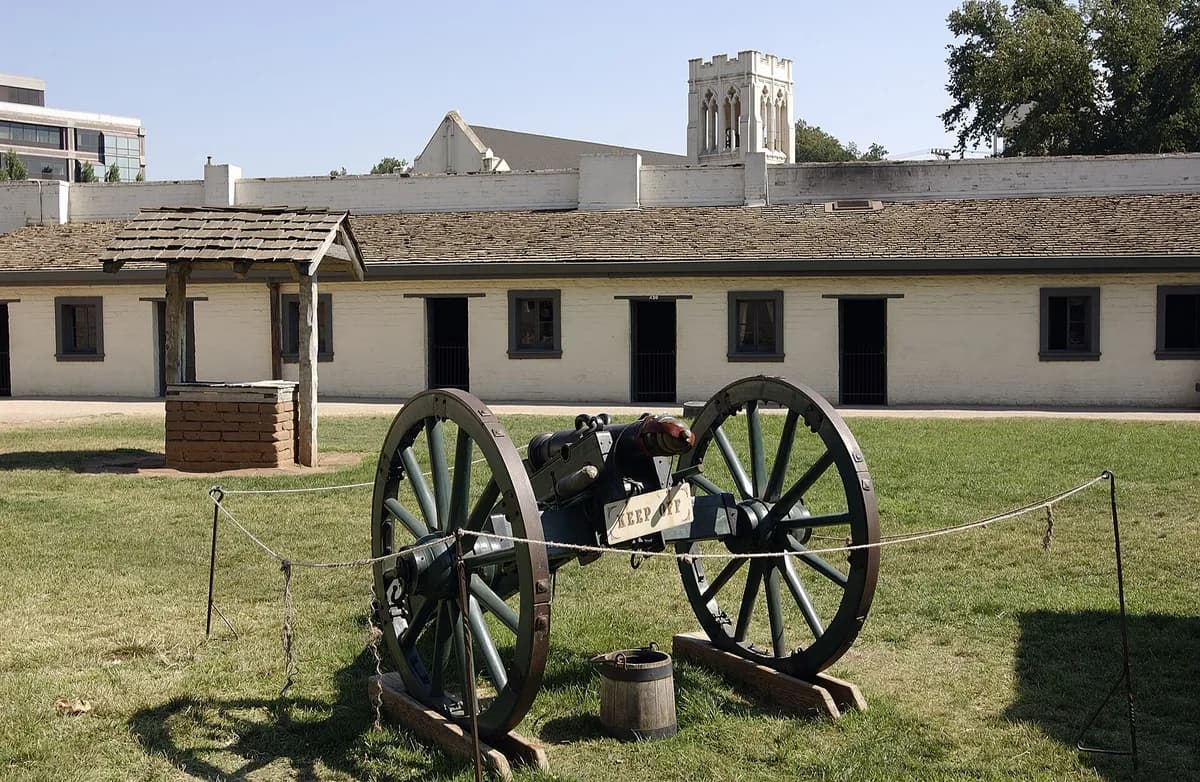 Sutter's Fort State Historic ParkSutter's Fort State Historic Park preserves a reconstructed and surviving historic setting associated with Sacramento's early colonial and Gold Rush history.
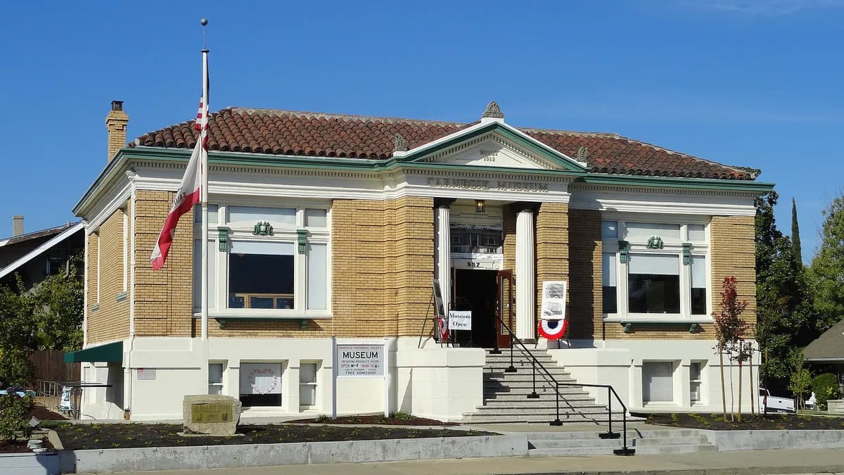 Carnegie Museum & Archives, RosevilleCarnegie Museum & Archives preserves Roseville's history within its former Carnegie library.