


Cuyahoga Valley National Park
- Park
- Regional draw
- Independence
Cuyahoga Valley National Park protects a river corridor between the Cleveland and Akron areas, including landscapes near Independence.
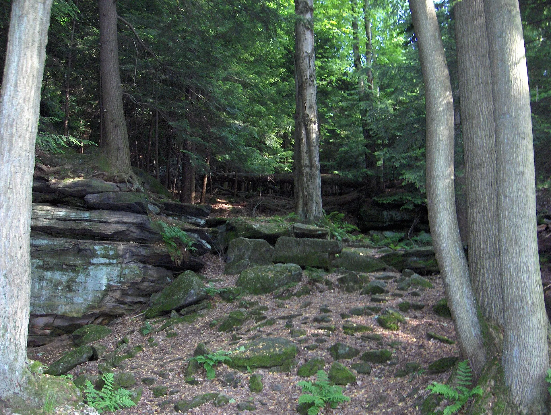
Forest, farmland, rock formations and the historic canal route provide different ways to explore this part of northeastern Ohio.
Choose a specific trailhead or visitor facility using the National Park Service map rather than navigating only to the park’s representative map point. The photograph shows rock formations within the park during an earlier visit. Check current alerts, trail conditions and separate arrangements for train trips or other organized experiences. Allow travel time between the park’s different areas and remain on designated routes.
Visitor details reviewed October 18, 2026. Check official visitor information for current access, admission, and operating arrangements. View on OpenStreetMap.
Image credit: Taximes at English Wikipedia / Wikimedia Commons. Original source. Public domain. Resized and converted to WebP; may be cropped for display.
Nearby
More places nearby
 Byers FieldByers Field in Parma is a substantial school-district stadium used for football and other organized athletics.
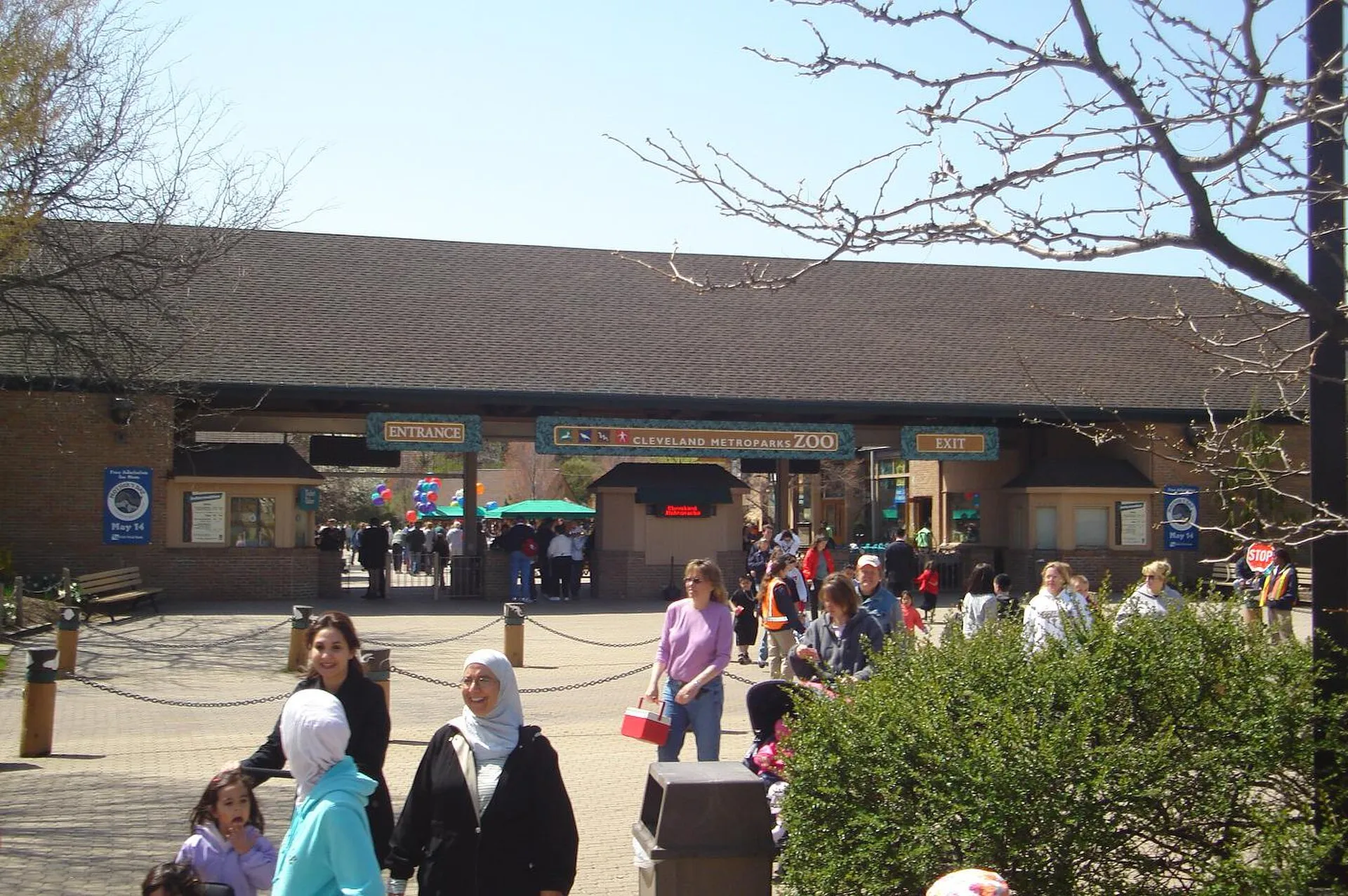 Cleveland Metroparks ZooCleveland Metroparks Zoo presents wildlife across a large landscaped site, with habitats and interpretation that introduce different regions and conservation themes.
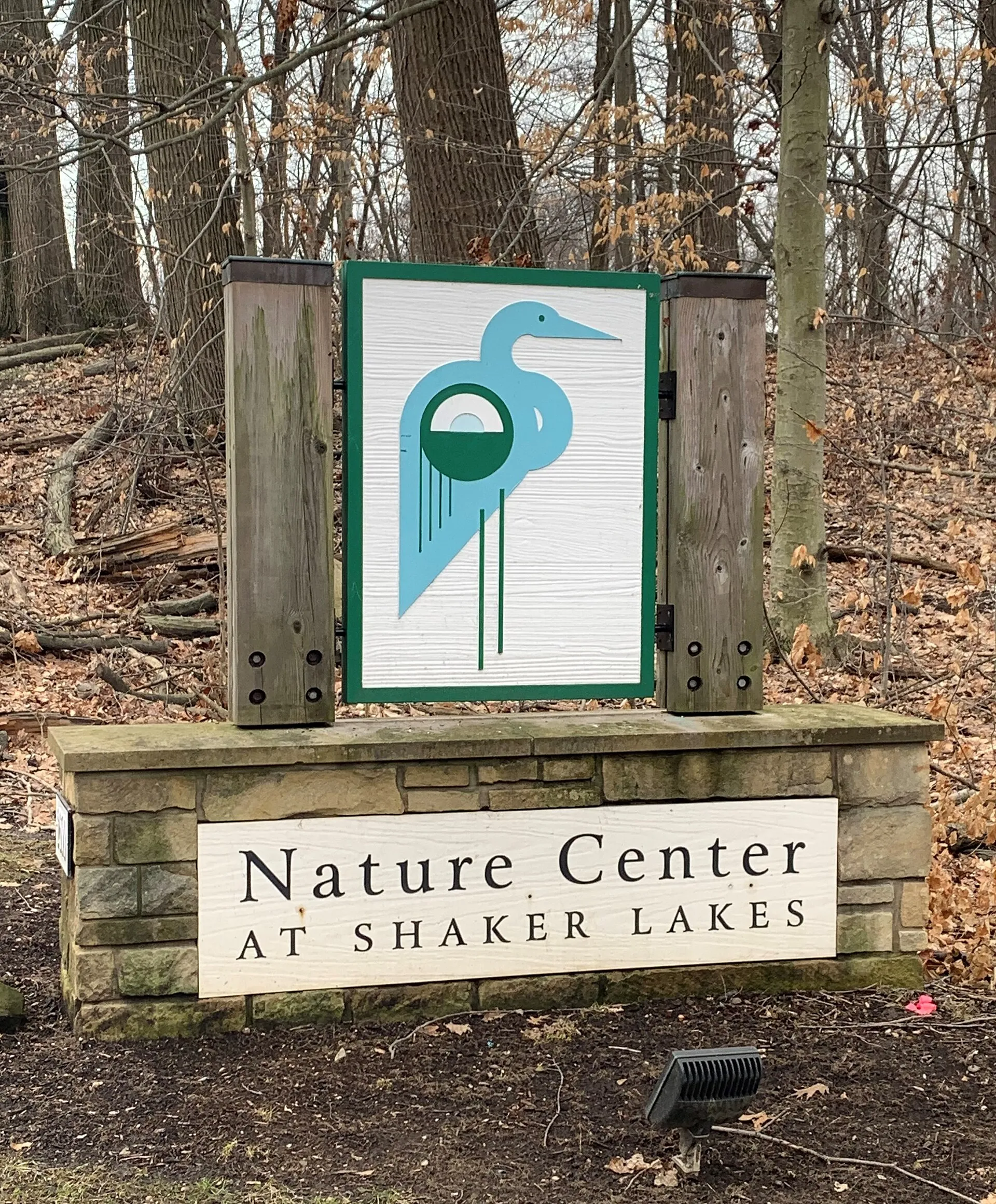 Nature Center at Shaker LakesNature Center at Shaker Lakes combines protected habitats, public trails and environmental education in Shaker Heights.
 Memphis Kiddie ParkMemphis Kiddie Park is a compact seasonal amusement destination in Brooklyn, Ohio, within the Cleveland area.
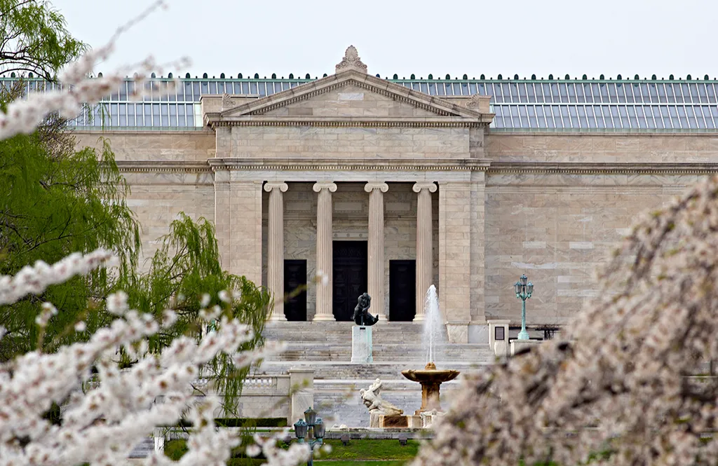 Cleveland Museum of ArtThe Cleveland Museum of Art brings a broad collection to University Circle, with galleries that invite comparisons across periods and cultures.
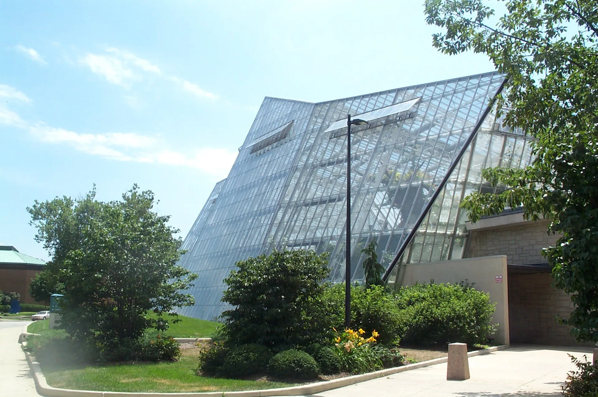 Cleveland Botanical GardenCleveland Botanical Garden combines cultivated outdoor spaces with glasshouse environments in University Circle.