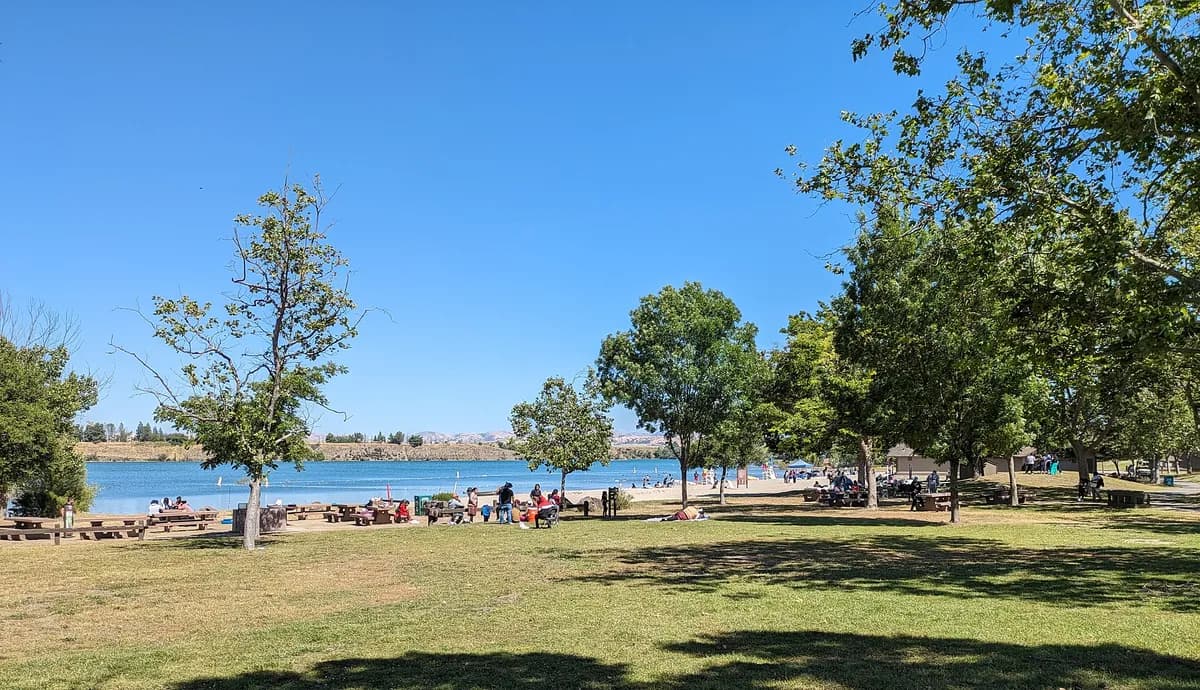
Del Valle Regional Park
- Regional park
- Regional draw
- Livermore
Del Valle Regional Park surrounds a reservoir in the hills south of Livermore.
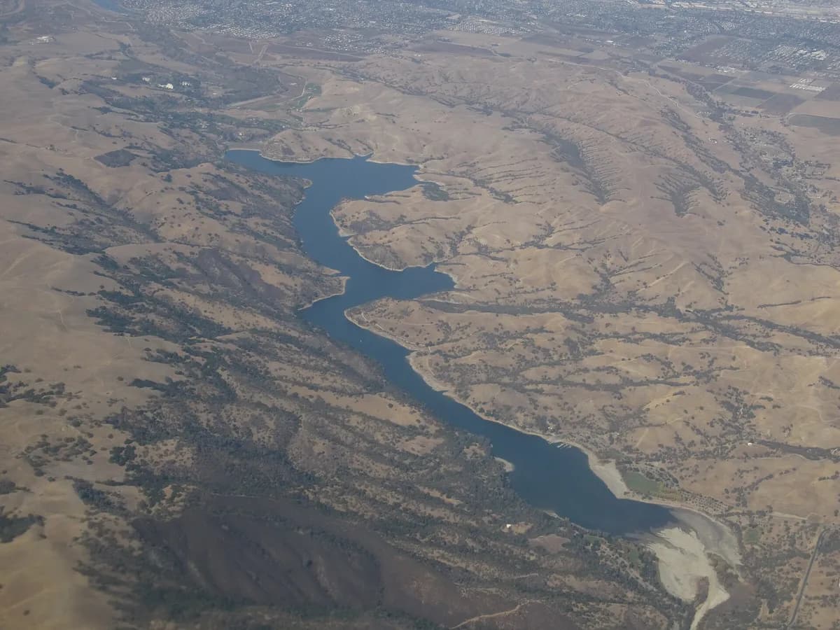
Water views, oak-covered slopes and an extensive outdoor setting make it a destination for walking, camping and lake-based recreation within reach of the East Bay.
Choose a trailhead or recreation area using the park district’s current map before setting out. Water conditions, swimming arrangements and individual facilities can change, so check alerts rather than relying on a general map pin. Bring supplies appropriate to exposed hills and seasonal heat, and confirm reservations separately if you intend to camp.
Visitor details reviewed October 18, 2026. Check official visitor information for current access, admission, and operating arrangements. View on OpenStreetMap.
Image credit: Ken Lund from Reno, Nevada, USA / Wikimedia Commons. Original source. CC BY-SA 2.0. Resized and converted to WebP; may be cropped for display.