


Marietta Historic District
- Historic river town district
- Regional draw
- Marietta
Marietta Historic District preserves a broad town landscape near the meeting of the Muskingum and Ohio rivers.
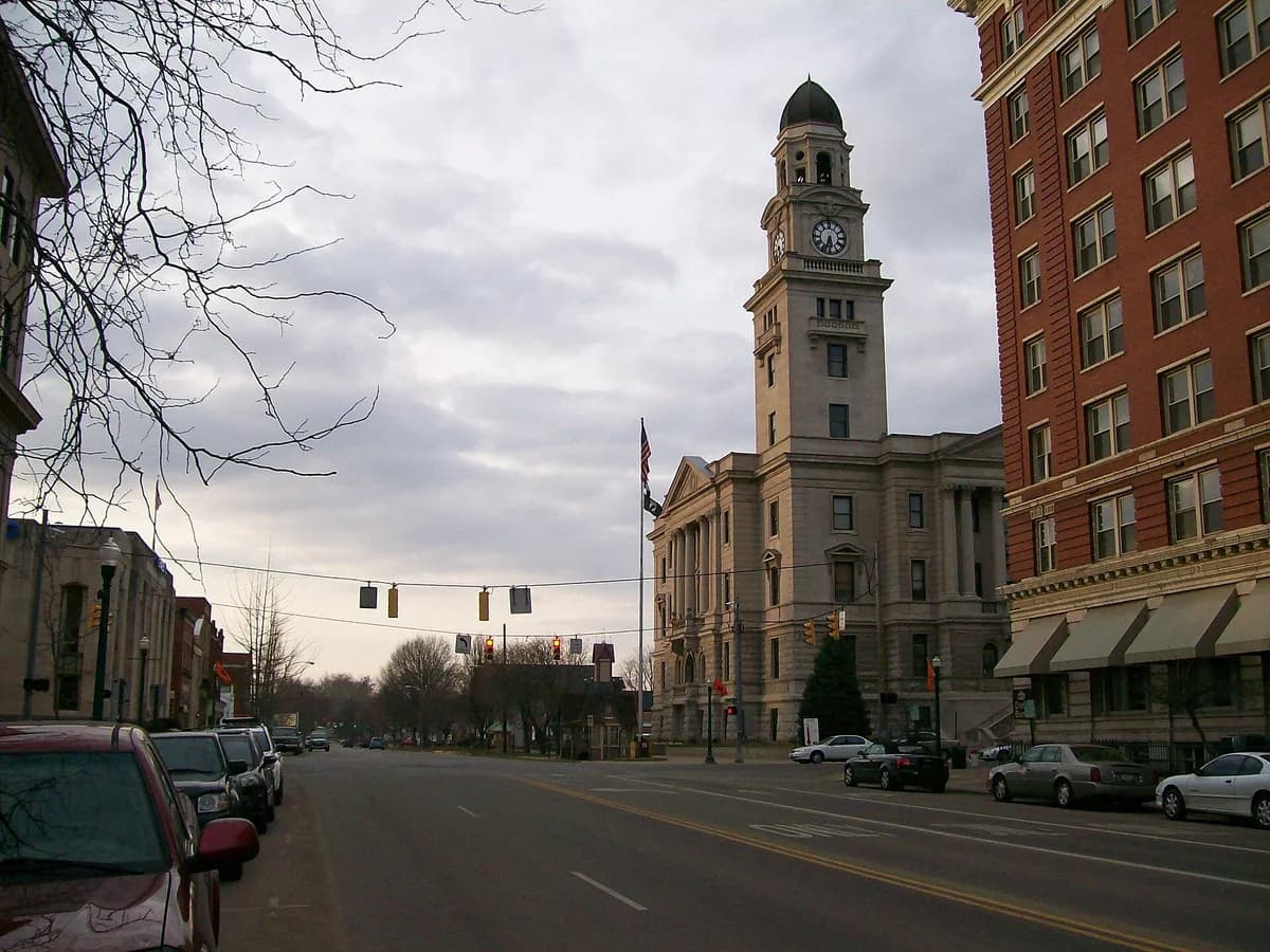
Civic, domestic and commercial buildings connect river trade and early settlement with the city’s later growth.
Explore from public sidewalks using current visitor walking information. The photograph shows part of the historic district. Individual museums, churches and homes retain their own access and admission arrangements, and many interiors are private. Plan a manageable route across the town’s streets and leave working entrances clear; riverfront paths may have separate conditions or closures.
Visitor details reviewed October 18, 2026. Check official visitor information for current access, admission, and operating arrangements. View on OpenStreetMap.
Image credit: Bwsmith84 (talk) / Wikimedia Commons. Original source. CC BY 3.0. Resized and converted to WebP; may be cropped for display.
Nearby
More places nearby
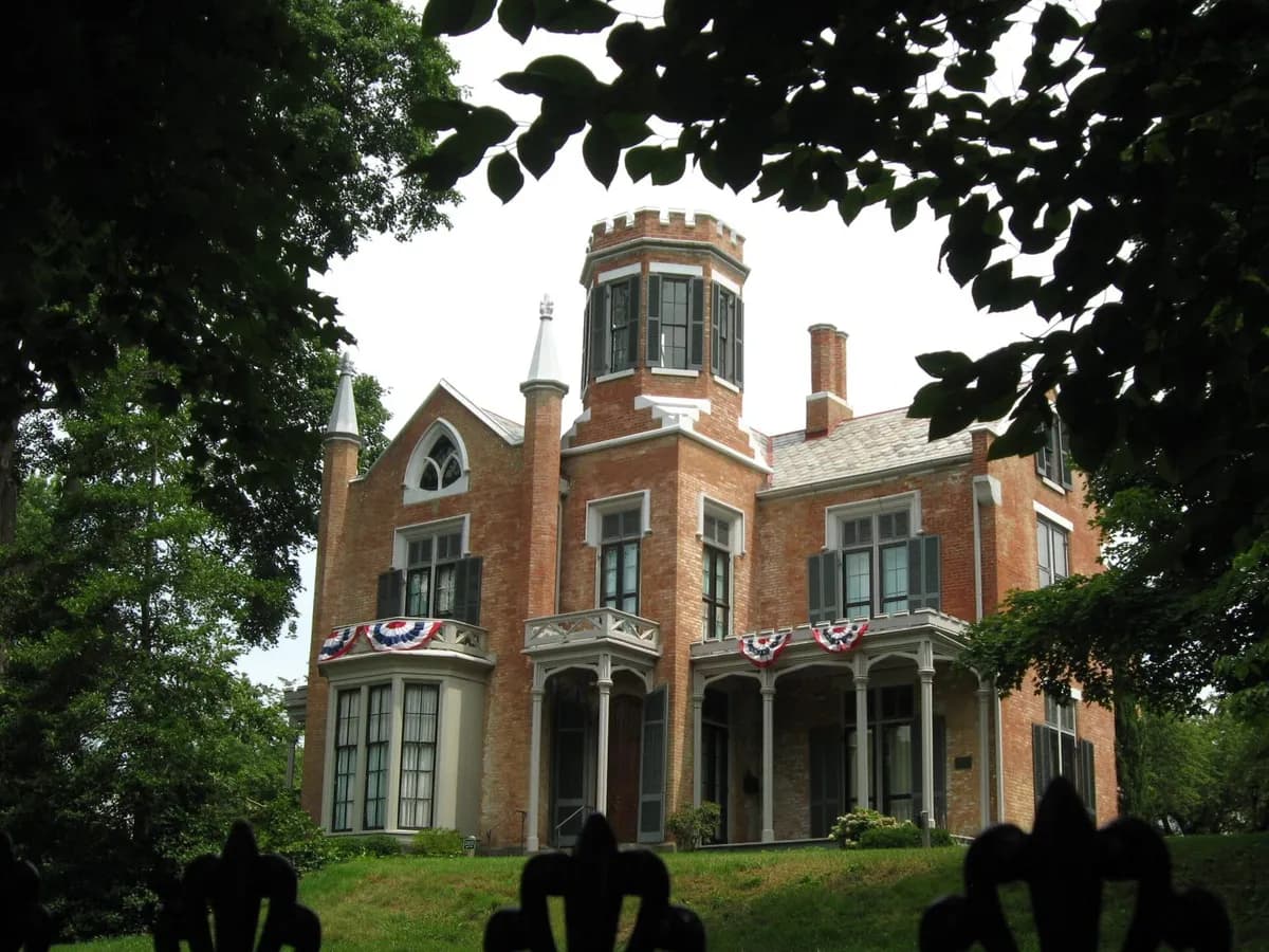 The Castle Historic House Museum, MariettaThe Castle in Marietta preserves a Gothic Revival house and interprets the people who lived and worked there.
 Muskingum ParkMuskingum Park in Marietta places public green space beside the river that shaped the town’s early growth.
 Mound Cemetery, MariettaMound Cemetery in Marietta surrounds the surviving Conus earthwork with a historic burial ground.
 Campus Martius MuseumCampus Martius Museum in Marietta interprets early settlement and movement into the Northwest Territory.
 Quadranaou ParkQuadranaou Park in Marietta preserves a major surviving earthwork within the modern town.