


Point Pinole Regional Shoreline
- Park
- Regional draw
- Richmond
Point Pinole Regional Shoreline combines bay-edge trails, open meadows, and eucalyptus woodland on San Pablo Bay.
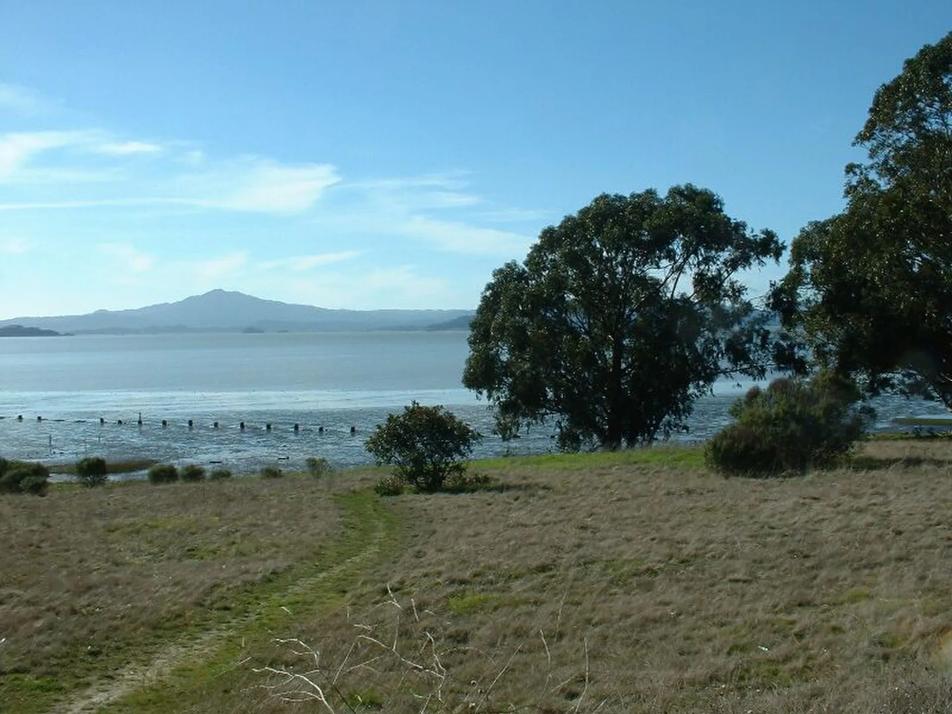
Its broad landscape offers room for walking and birdwatching, with different entrances serving different sections. Views across the water help connect this former industrial shoreline with the wider North Bay landscape.
Check the park district's current map and alerts before choosing a route. As reviewed in October 2026, the Bay Trail east of Atlas Bridge is closed because of a sinkhole, with no reopening date announced. Use open designated routes, bring water, and allow for exposed shoreline weather.
Visitor details reviewed October 18, 2026. Check official visitor information for current access, admission, and operating arrangements. View on OpenStreetMap.
Image credit: Seglea at English Wikipedia / Wikimedia Commons. Original source. Public domain. Resized and converted to WebP; may be cropped for display.
Nearby
More places nearby
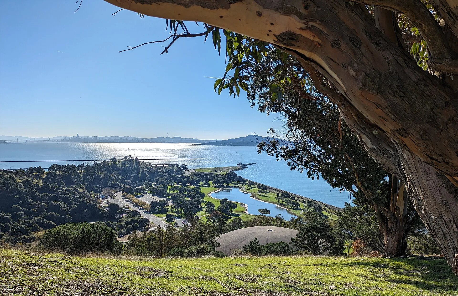 Miller/Knox Regional ShorelineMiller/Knox Regional Shoreline offers a lagoon-side walking circuit, picnic lawns, and access to Richmond's bay shore.
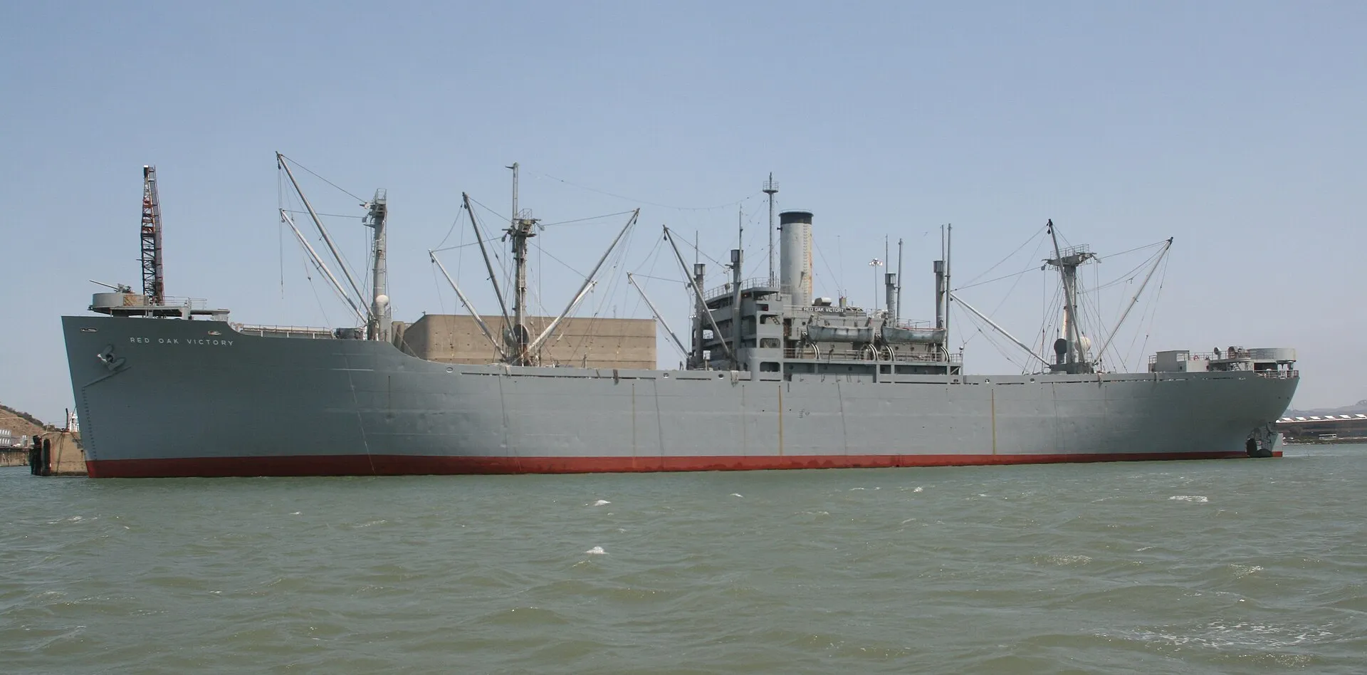 SS Red Oak VictorySS Red Oak Victory is a preserved Second World War cargo ship at Richmond's historic Shipyard 3.
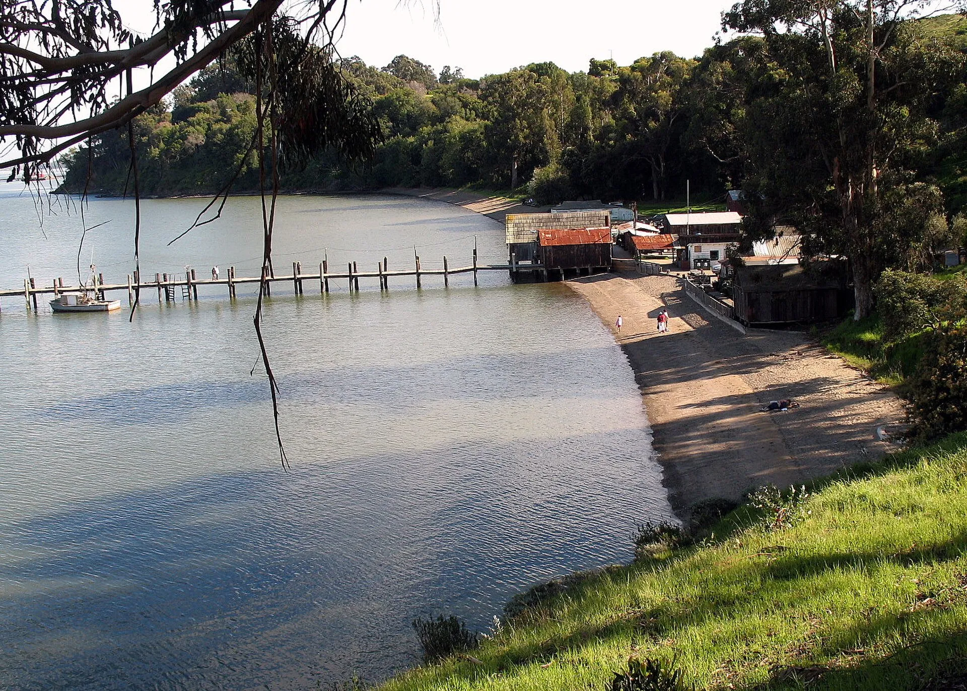 China Camp State ParkChina Camp State Park on San Pablo Bay combines shoreline landscapes with the history of a Chinese American shrimp-fishing community.
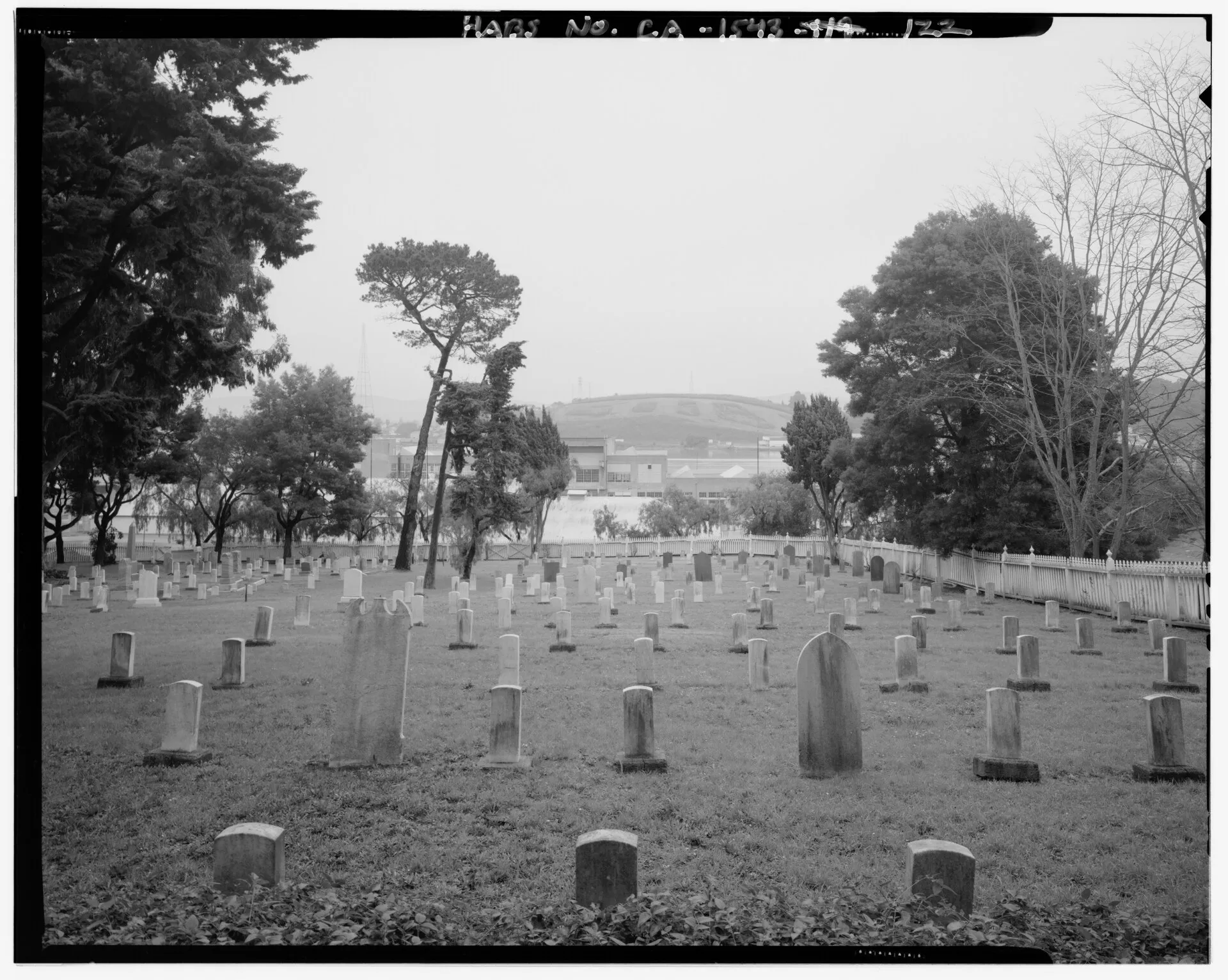 Mare Island Naval CemeteryMare Island Naval Cemetery preserves a burial landscape connected with the former naval shipyard and the people who served there.
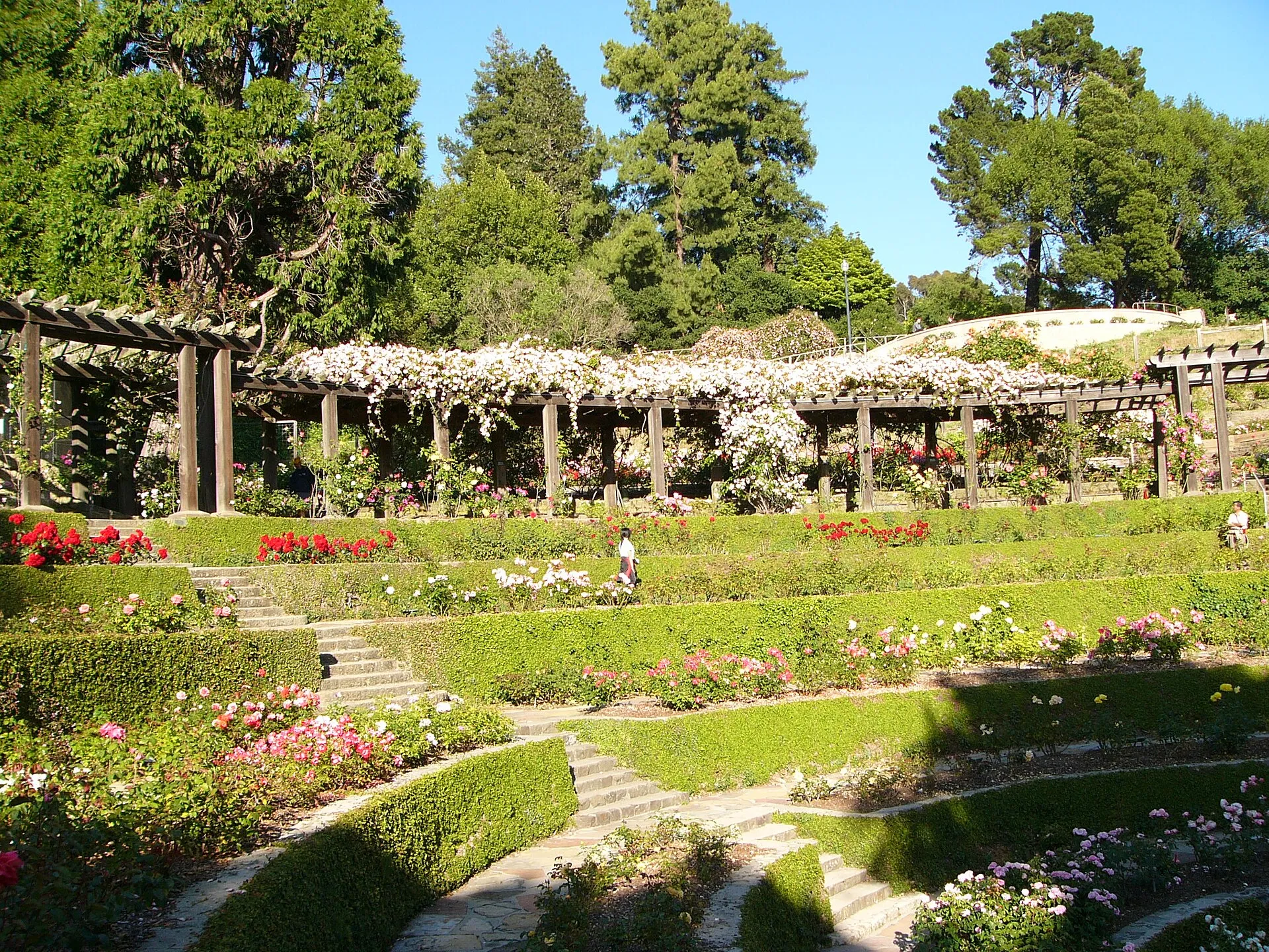 Berkeley Rose GardenBerkeley's municipal rose garden fits a carefully planted landscape into the city's northern hills. Its terraced setting makes it a focused place to enjoy roses and views, distinct from a longer walk through the East Bay's larger regional parks.
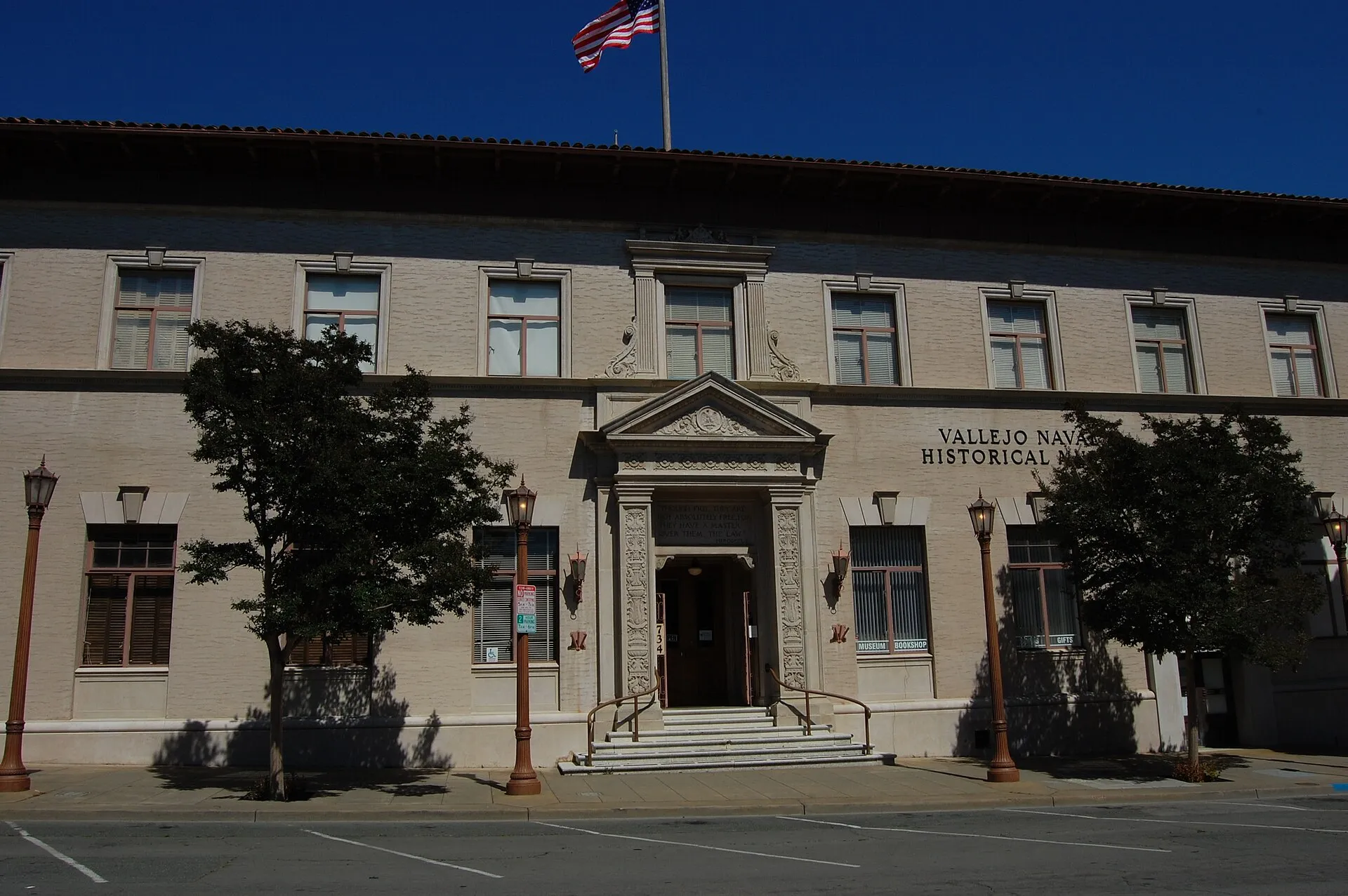 Vallejo Naval and Historical MuseumVallejo Naval and Historical Museum explores the city's history and its connections with the Mare Island naval base.