


Santa Monica Mountains National Recreation Area
- Park
- Regional draw
- Agoura Hills
Santa Monica Mountains National Recreation Area protects a broad network of landscapes and cultural sites west of Los Angeles.
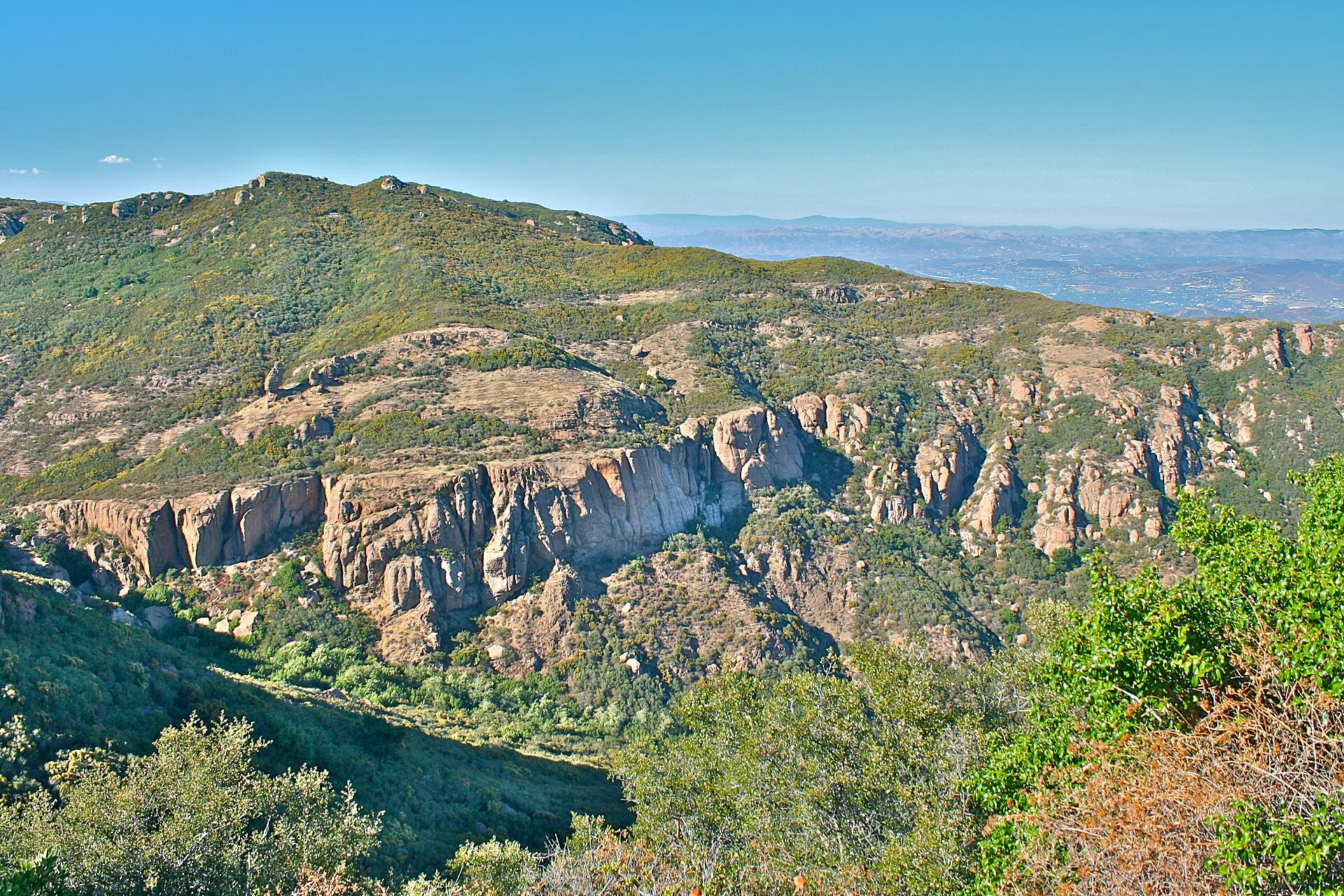
Its trails, chaparral-covered hills and historic places offer many distinct outdoor outings around the Santa Monica Mountains.
Choose a particular entrance and route from current National Park Service maps and alerts; the recreation area is spread across separate properties and communities. The photograph shows the Backbone Trail near Mishe Mokwa, not a view available at every entrance. Check closures, weather and the rules of the land manager for your chosen route, and prepare for exposed terrain and limited water.
Visitor details reviewed October 25, 2026. Check official visitor information for current access, admission, and operating arrangements. View on OpenStreetMap.
Image credit: Seanydelight / Wikimedia Commons. Original source. CC BY-SA 3.0. Resized and converted to WebP; may be cropped for display.
Nearby
More places nearby
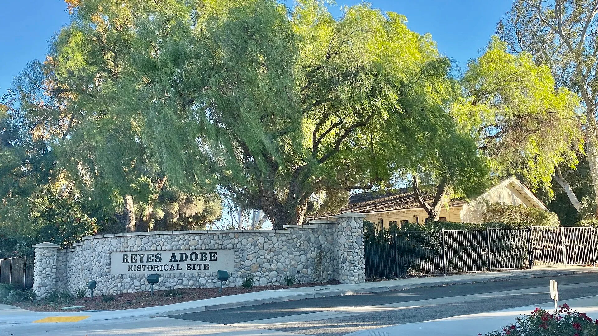 Reyes Adobe ParkReyes Adobe Park surrounds an important historic setting in Agoura Hills.
- Platt Branch LibraryA literacy center, urban garden and birdwatching kits at the Victory Boulevard library in Woodland Hills.
- Woodland Hills Branch LibraryAn urban garden, birdwatching kits and Spanish-language books at the Ventura Boulevard library in Woodland Hills.
- Woodland Hills Recreation CenterWoodland Hills Recreation Center is a City of Los Angeles recreation facility on Shoup Avenue.
- Serrania ParkSerrania Park is a public outdoor destination south of Ventura Boulevard in Woodland Hills.
- Warner Center ParkWarner Center Park, also known as Warner Ranch Park, is a public park in the Warner Center district of Woodland Hills.