


Santa Monica State Beach
- State beach
- Regional draw
- Santa Monica
Santa Monica State Beach stretches along the Pacific coast on either side of the pier.
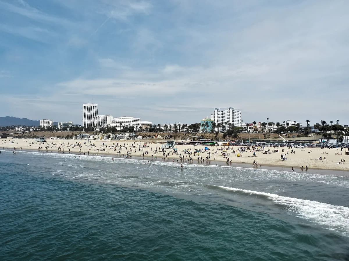
Its broad sandy shoreline and adjoining paths offer space for a coastal walk, time by the water or a longer outing linking different parts of Santa Monica’s waterfront.
Choose an access point that suits your plans, since the beach extends well beyond the pier area. Consult current city and state information for parking, beach rules and water conditions. Swim only in accordance with posted advice and lifeguard guidance, and keep walking and cycling routes distinct where the beachfront path system separates them.
Visitor details reviewed October 18, 2026. Check official visitor information for current access, admission, and operating arrangements. View on OpenStreetMap.
Image credit: Alexander Migl / Wikimedia Commons. Original source. CC BY-SA 4.0. Resized and converted to WebP; may be cropped for display.
Nearby
More places nearby
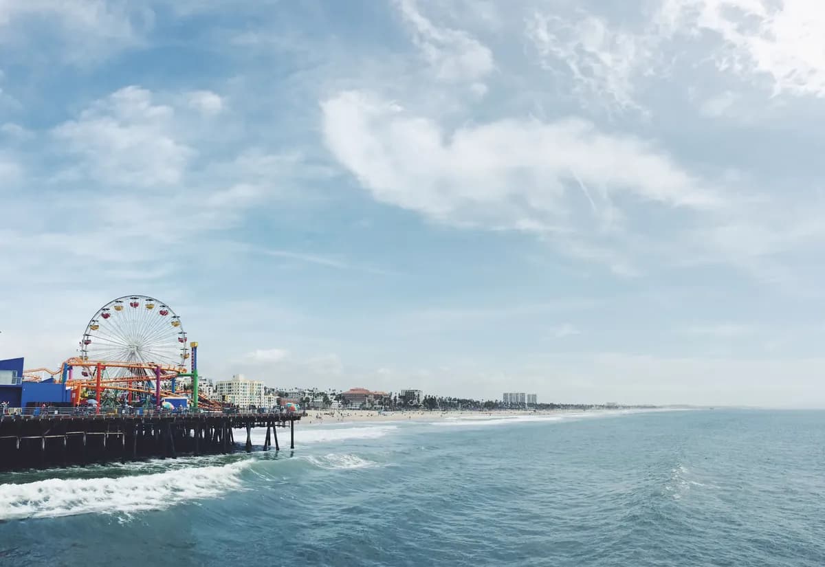 Santa Monica PierSanta Monica Pier extends into the Pacific at the foot of Colorado Avenue, bringing together ocean views, food stands and a lively public promenade.
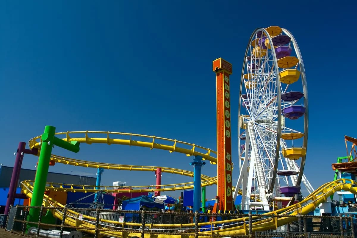 Pacific ParkPacific Park occupies part of Santa Monica Pier, pairing amusement rides with open views over the Pacific Ocean.
- Palisades Branch LibraryTemporary library service in the Alma Real Drive parking lot; check current hours before visiting.
- Venice - Abbot Kinney Memorial Branch LibraryA literacy center, sensory-friendly services and Spanish-language books at the South Venice Boulevard library.
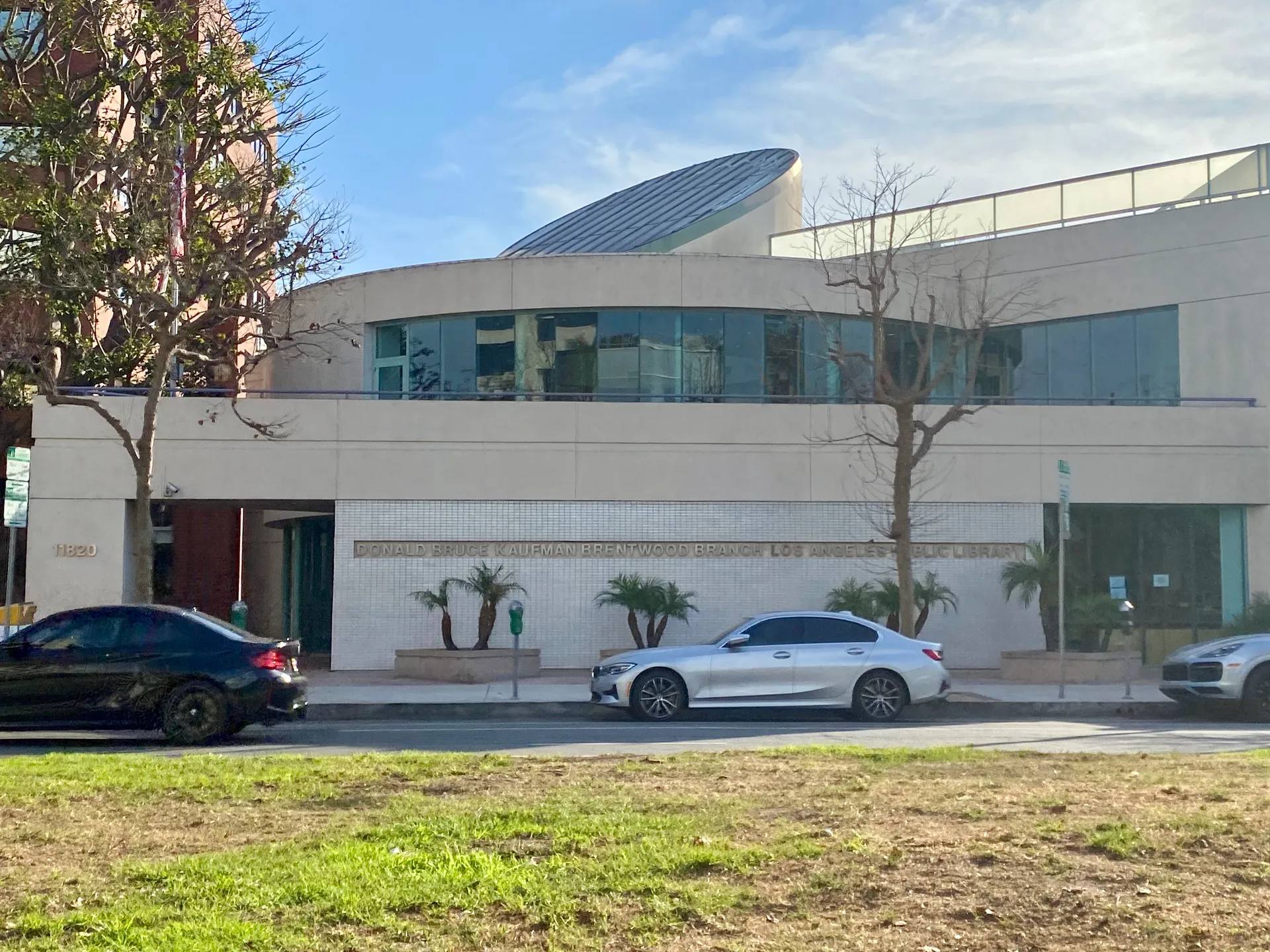 Donald Bruce Kaufman–Brentwood Branch LibraryBrentwood’s public library branch on San Vicente Boulevard, with books, community programs and activities for children and teens.
- Stoner Recreation CenterStoner Recreation Center is a City of Los Angeles recreation facility in the Sawtelle area.