


Neighborhood in Los Angeles · Los Angeles County
Bel-Air
Bel-Air occupies hillside terrain on the Westside.
Photo 1 of 1
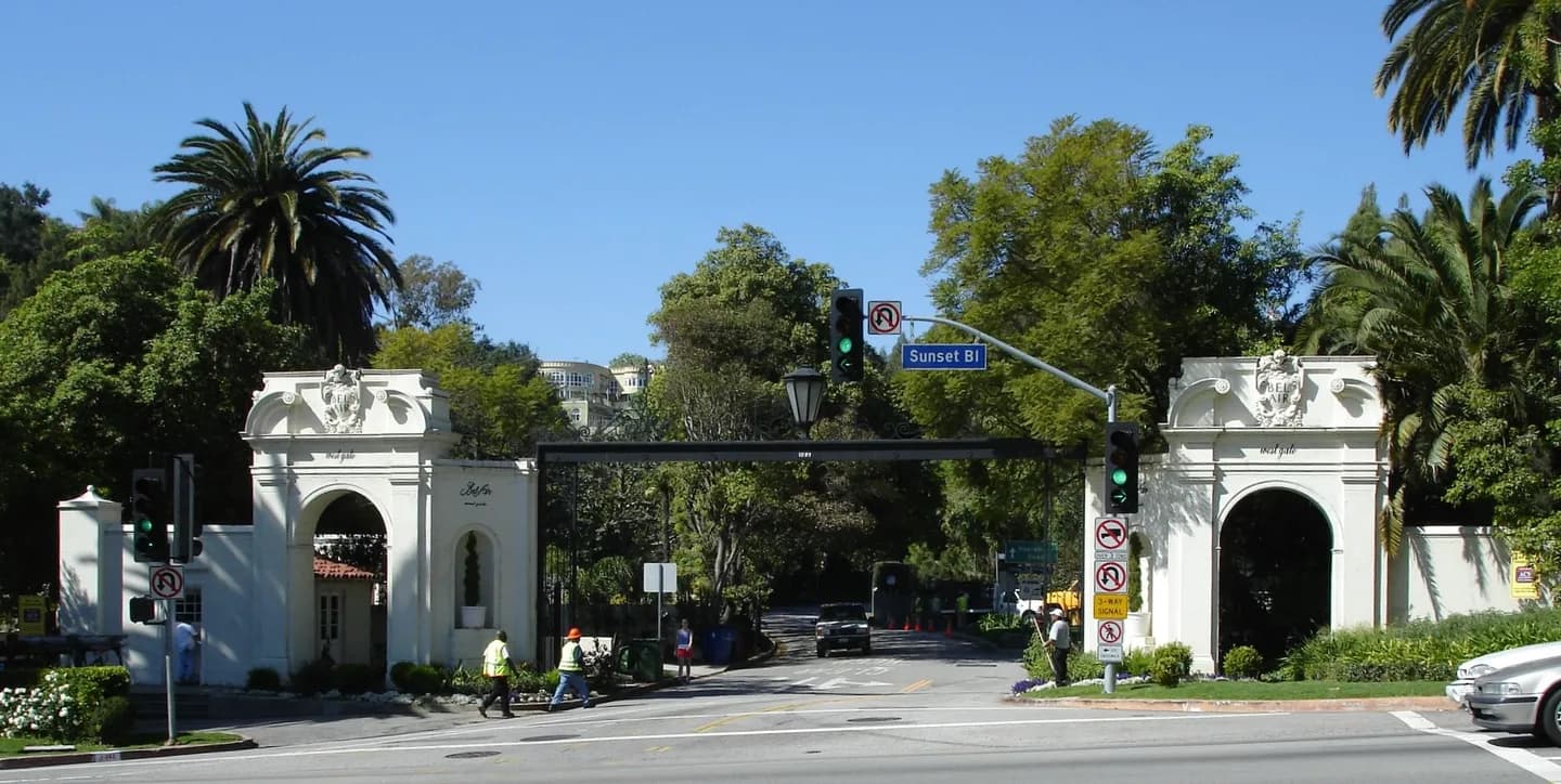
Bel-Air — Belair · Archival photograph; current conditions may differ.
Bel-Air — Belair · Archival photograph; current conditions may differ.
Creator: Leahcim506 at English Wikipedia · resized / WebP
License: Public domain
About Bel-Air
Bel-Air occupies hillside terrain on the Westside. Inspect road access, parking and the practical trip to everyday shopping rather than treating green space as walkable public parkland. Compare the actual home’s layout, condition, storage and included services.
For shared buildings, request current fees and the division of maintenance responsibilities; for a house, inspect the systems and outdoor areas you would maintain. A neighborhood description does not establish availability or a price for a particular property. For daily travel, test the exact route to work and errands at the times you need it.
Check current Metro or municipal transit information and the public entrance to a park or library. Compare the property’s street with its surrounding corridors; a Los Angeles address can imply very different regional journeys.
Check these on a visit
Try these in person before you commit to an address in Bel-Air.
- Walk the public route from the exact property to an everyday shop and a local facility.
- Test the complete work or study journey at the time you expect to travel.
- Compare building access, sound and included services on a second visit.
Neighborhoods near Bel-Air
The closest areas in Los Angeles, measured center to center.
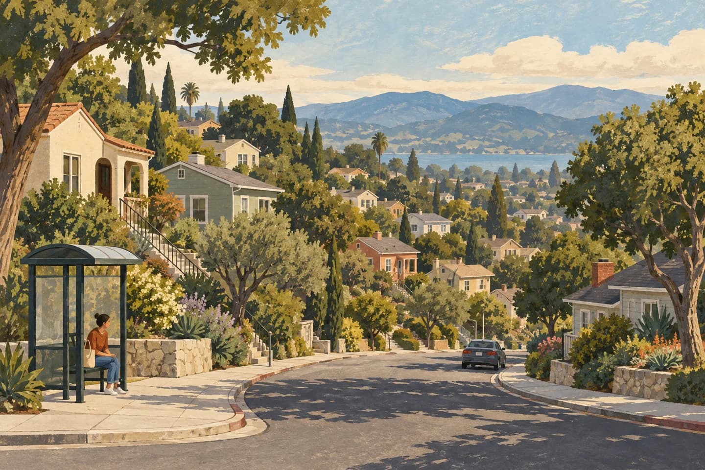 1.6 miBeverly CrestBeverly Crest is in the Santa Monica Mountains. Compare with Bel-Air
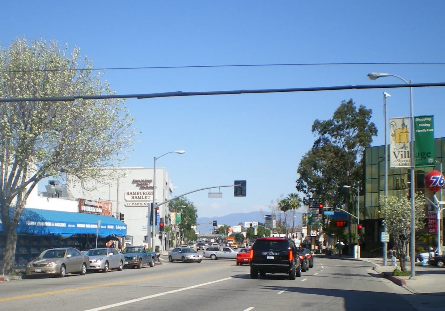 3.4 miSherman OaksSherman Oaks combines a Valley-floor commercial corridor with hillside residential areas. Compare with Bel-Air
- 4.2 miWest Los AngelesWest Los Angeles is used for an area divided by major transport corridors, and sources draw it differently. Compare with Bel-Air
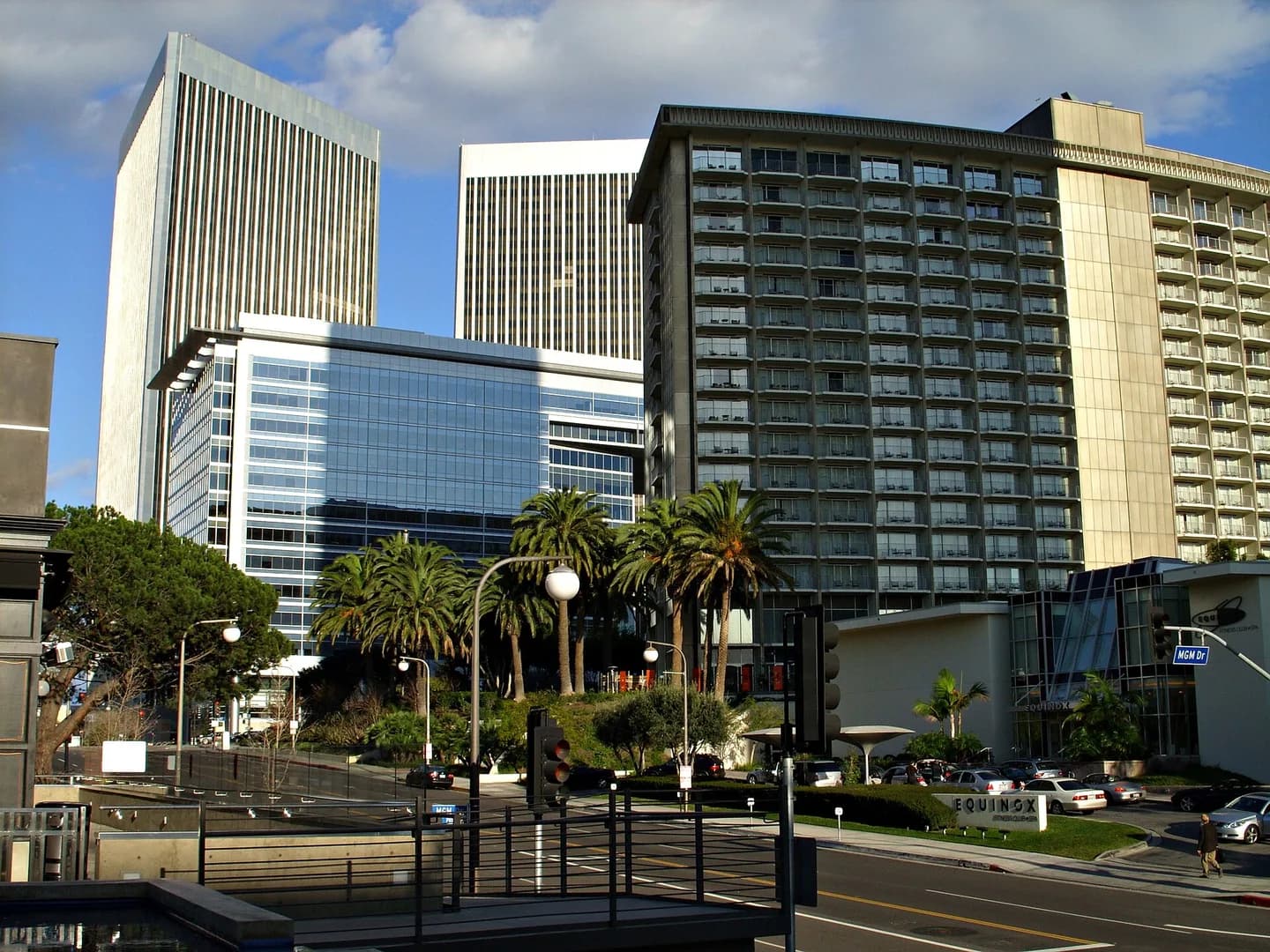 4.2 miCentury CityCentury City is a Westside employment and high-rise district. Compare with Bel-Air
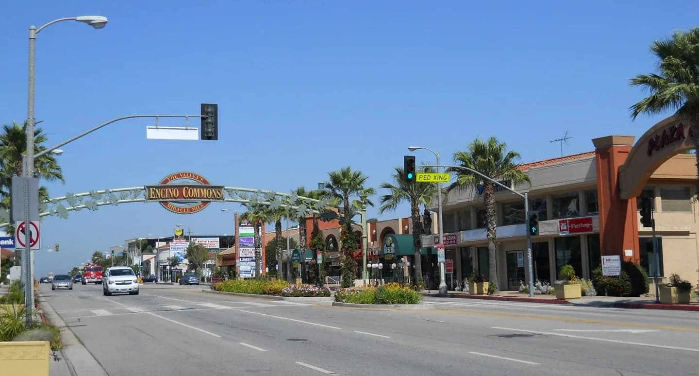 4.3 miEncinoEncino is a San Fernando Valley neighborhood with a commercial corridor and hillside residential areas. Compare with Bel-Air
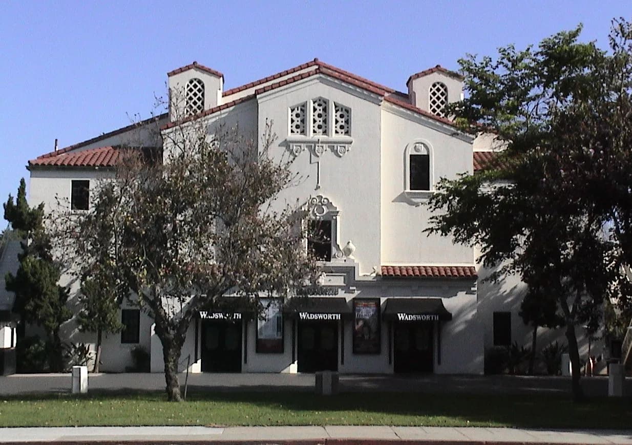 4.8 miSawtelleSawtelle is on the Westside and has a distinct commercial corridor. Compare with Bel-Air
Sources & data notesReferences, reporting periods, and how to use this information
Information on this page is compiled from multiple sources and provided for general information. It may be incomplete or out of date, and we do not guarantee its accuracy, completeness, or timeliness. Independently verify important details with the original source, relevant authority, or a qualified professional before making decisions.
Statistics keep their reporting periods. Survey estimates are not current asking prices or quotes for an individual property. Displayed values are rounded.
- Place-name identity and mapped locationCity-sourced neighborhood map, CDND v1.0 (2025). Source-screened draft; boundaries and historical names need local editorial review.Source checked Registry labels are not legal property boundaries. Original source date: 2026-09-25
- Neighborhood geography and planningLos Angeles City Planning — community plansSource checked Community plans are broader than individual neighborhoods.
- Transit route planningLA Metro schedules and mapsSource checked
- Parks and recreationLos Angeles Recreation and ParksSource checked
- Neighborhood history and geographic contextBackground: Bel Air, Los AngelesSource checked Secondary background checked alongside municipal geography; no demographic rankings or current price claims.
Photo credits
- Bel-Air — Belair · Archival photograph; current conditions may differ.Image credits and license
Bel-Air — Belair · Archival photograph; current conditions may differ.
Creator: Leahcim506 at English Wikipedia · resized / WebP
License: Public domain