


Charter high school · Los Angeles
Alliance Susan and Eric Smidt Technology High
See which neighborhoods are closest to Alliance Susan and Eric Smidt Technology High and what living in each one is like.
- Grades9–12
- TypeCharter
- Students2392024–25 school year
- DistrictAlliance Susan and Eric Smidt Technology High District
Neighborhoods and districts near Alliance Susan and Eric Smidt Technology High
The closest neighborhoods and districts within 5 miles, measured from the school to the middle of each one.
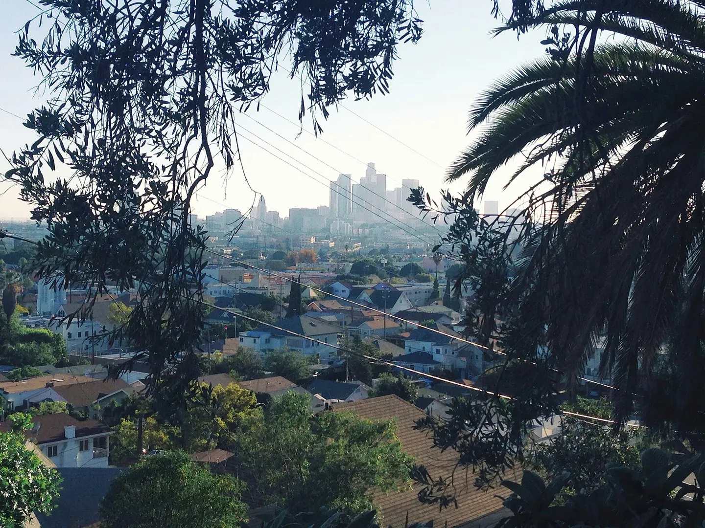 0.6 miLincoln HeightsLincoln Heights brings residential hills and commercial corridors together in Northeast Los Angeles, with library services on Workman Street.
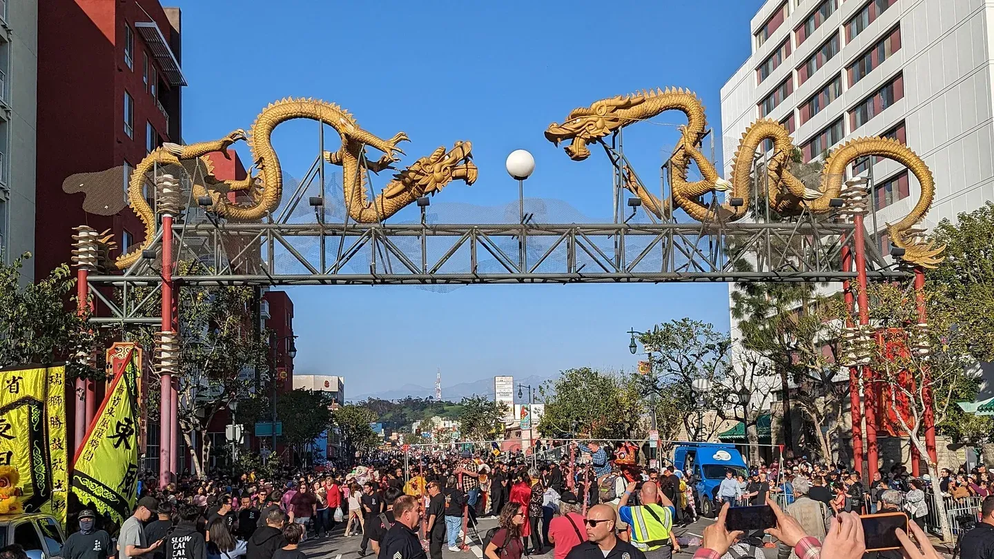 1.1 miChinatownBegin in Central Plaza, where tiled roofs and pedestrian passages tell the story of the neighborhood built after the original Chinatown was displaced for Union Station.
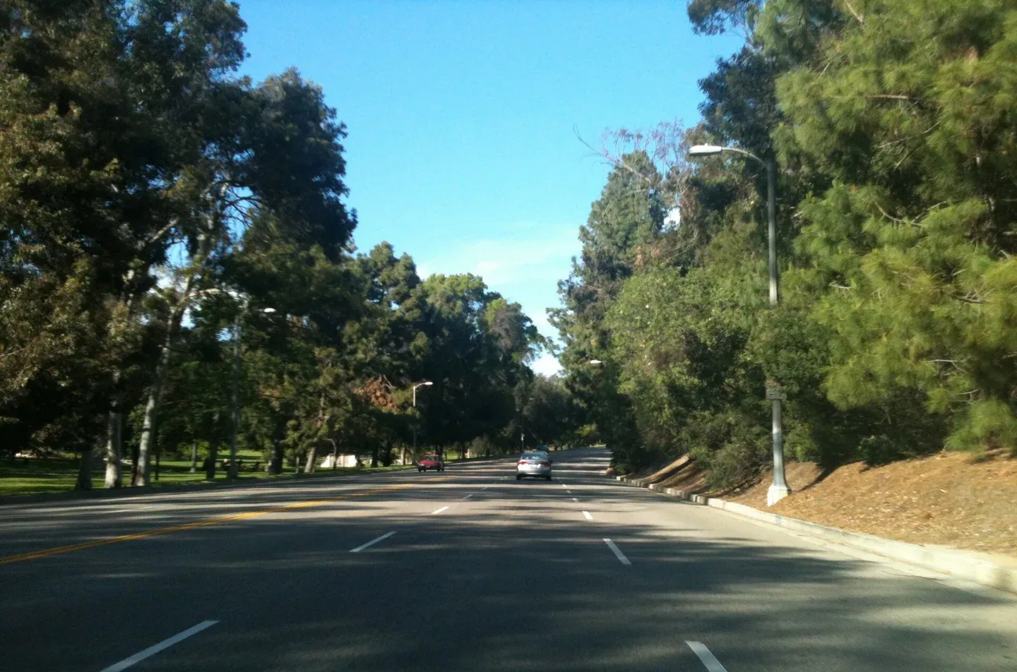 1.2 miElysian ParkElysian Park brings several outdoor settings close to central Los Angeles: the trees of Chavez Ravine Arboretum, picnic and play space around Avenue of the Palms, and the West Loop’s hill trails.
- 1.4 miCypress ParkCypress Park occupies the meeting area of the Los Angeles River and Arroyo Seco, with San Fernando Road, Cypress Avenue and North Figueroa Street organizing much of a first visit.
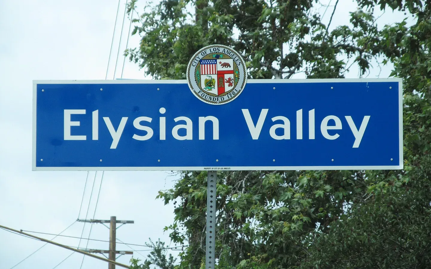 2.1 miElysian ValleyElysian Valley, also called Frogtown, brings homes, workspaces and arts activity alongside the Los Angeles River.
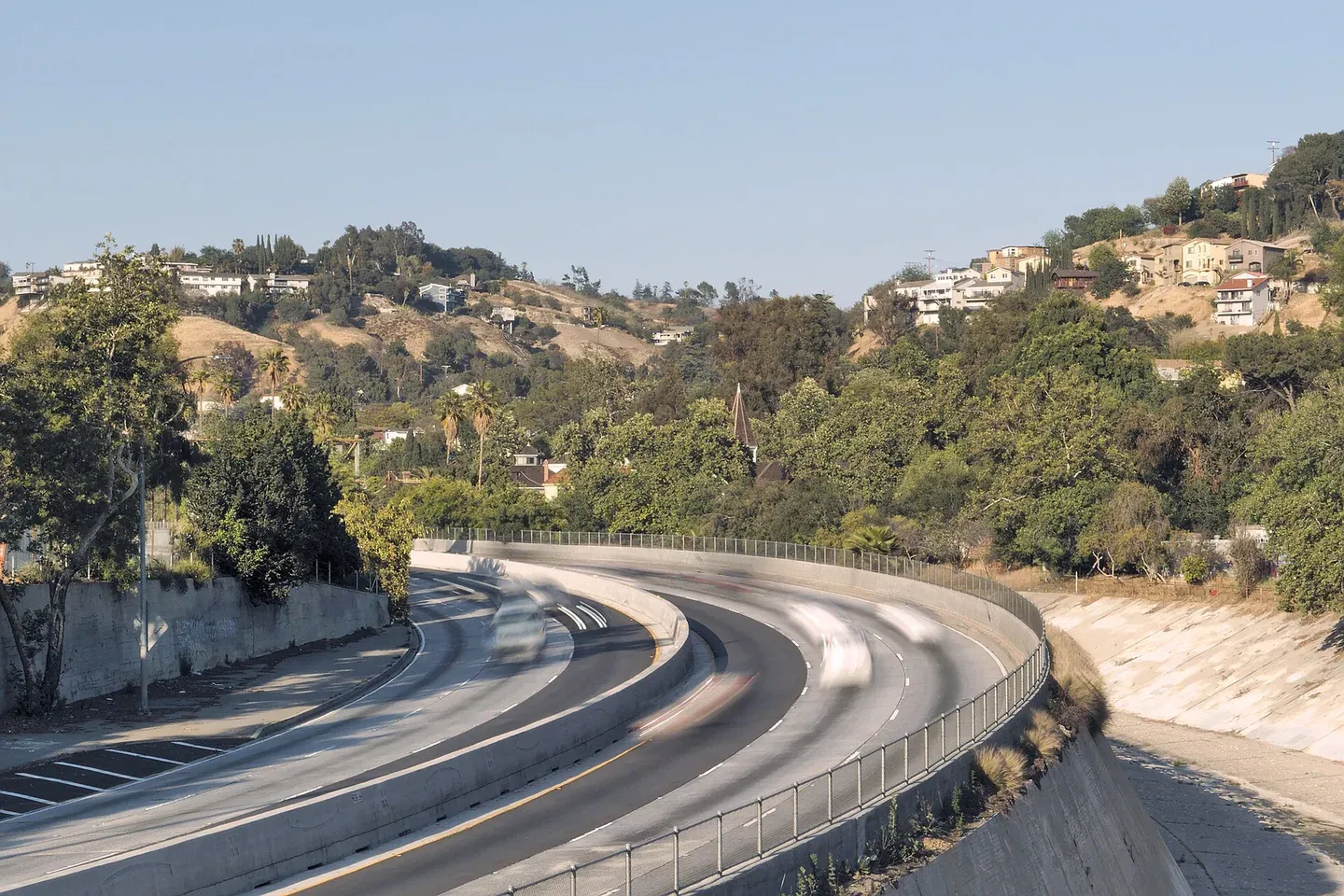 2.1 miMontecito HeightsMontecito Heights puts hillside residential streets above Northeast Los Angeles's larger service corridors, with the descent and climb home shaping ordinary errands.