


Public elementary school · Los Angeles
Buchanan Street Elementary
See which neighborhoods are closest to Buchanan Street Elementary and what living in each one is like.
- GradesK–5
- TypePublic
- Students2782024–25 school year
- DistrictLos Angeles Unified
Neighborhoods and districts near Buchanan Street Elementary
The closest neighborhoods and districts within 5 miles, measured from the school to the middle of each one.
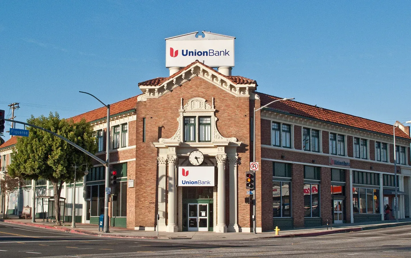 0.9 miHighland ParkFigueroa Street and York Boulevard give Highland Park two recognizable commercial corridors amid Northeast Los Angeles's residential hills.
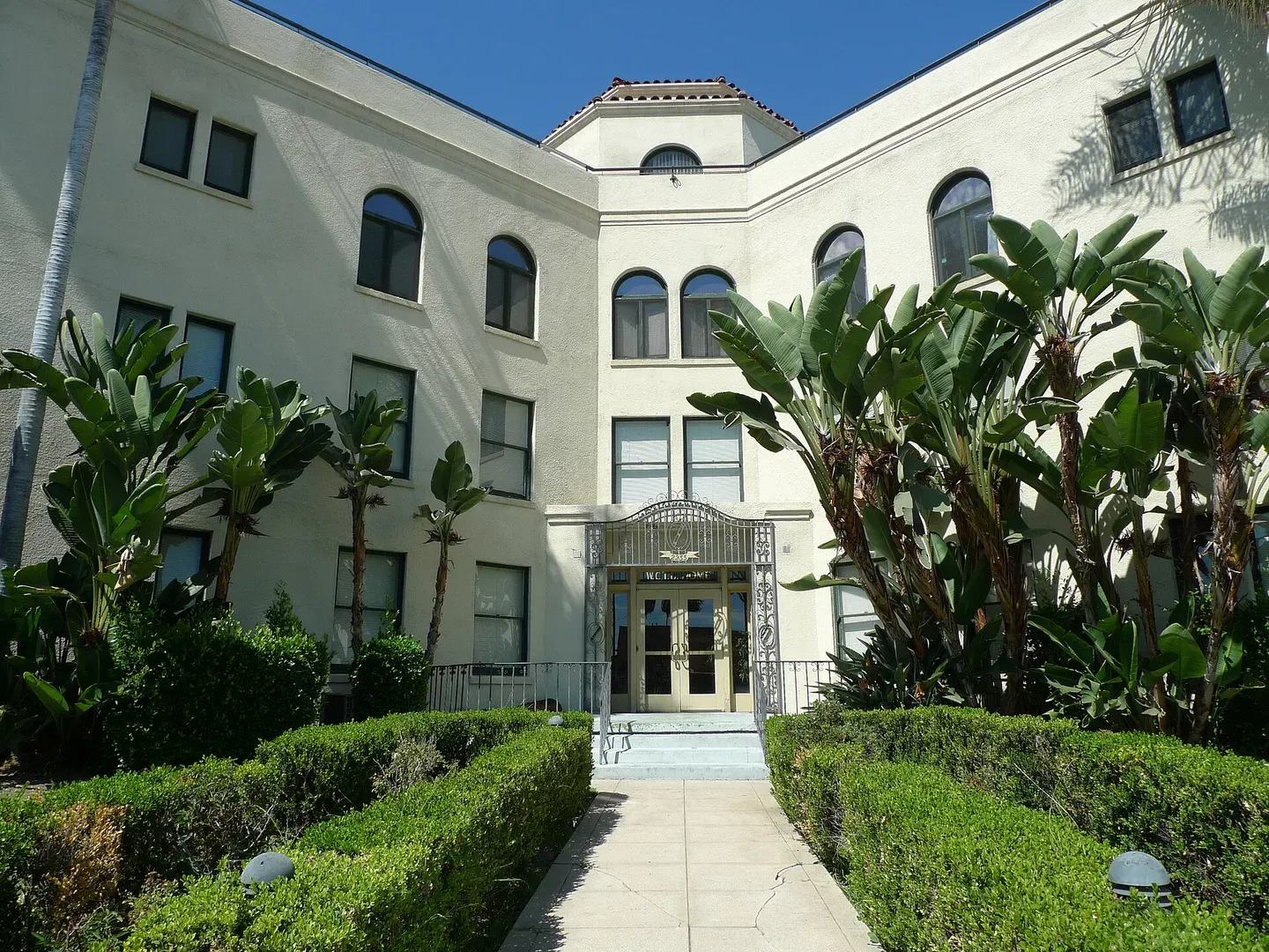 1.0 miEagle RockEagle Rock is a Northeast LA neighborhood between Glendale and Pasadena, with Colorado Boulevard and Eagle Rock Boulevard providing the main orientation.
- 1.3 miMount WashingtonMount Washington's residential hills rise above the Figueroa Street corridor in Northeast Los Angeles, with shops and A Line stations reached along the lower routes.
- 1.8 miGlassell ParkVerdugo Road links Glassell Park's local shops and recreation center with the residential hills of Northeast Los Angeles.
- 1.9 miBrookmere
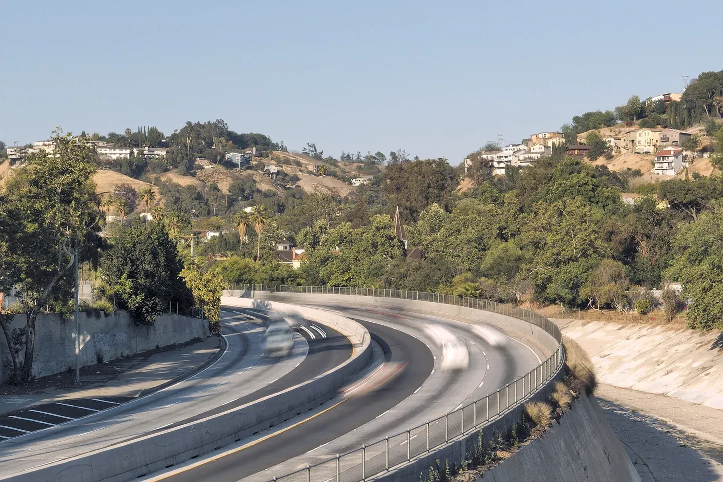 1.9 miMontecito HeightsMontecito Heights puts hillside residential streets above Northeast Los Angeles's larger service corridors, with the descent and climb home shaping ordinary errands.