


Public elementary school · Los Angeles
Canfield Avenue Elementary
See which neighborhoods are closest to Canfield Avenue Elementary and what living in each one is like.
- GradesK–5
- TypePublic
- Students2852024–25 school year
- DistrictLos Angeles Unified
Neighborhoods and districts near Canfield Avenue Elementary
The closest neighborhoods and districts within 5 miles, measured from the school to the middle of each one.
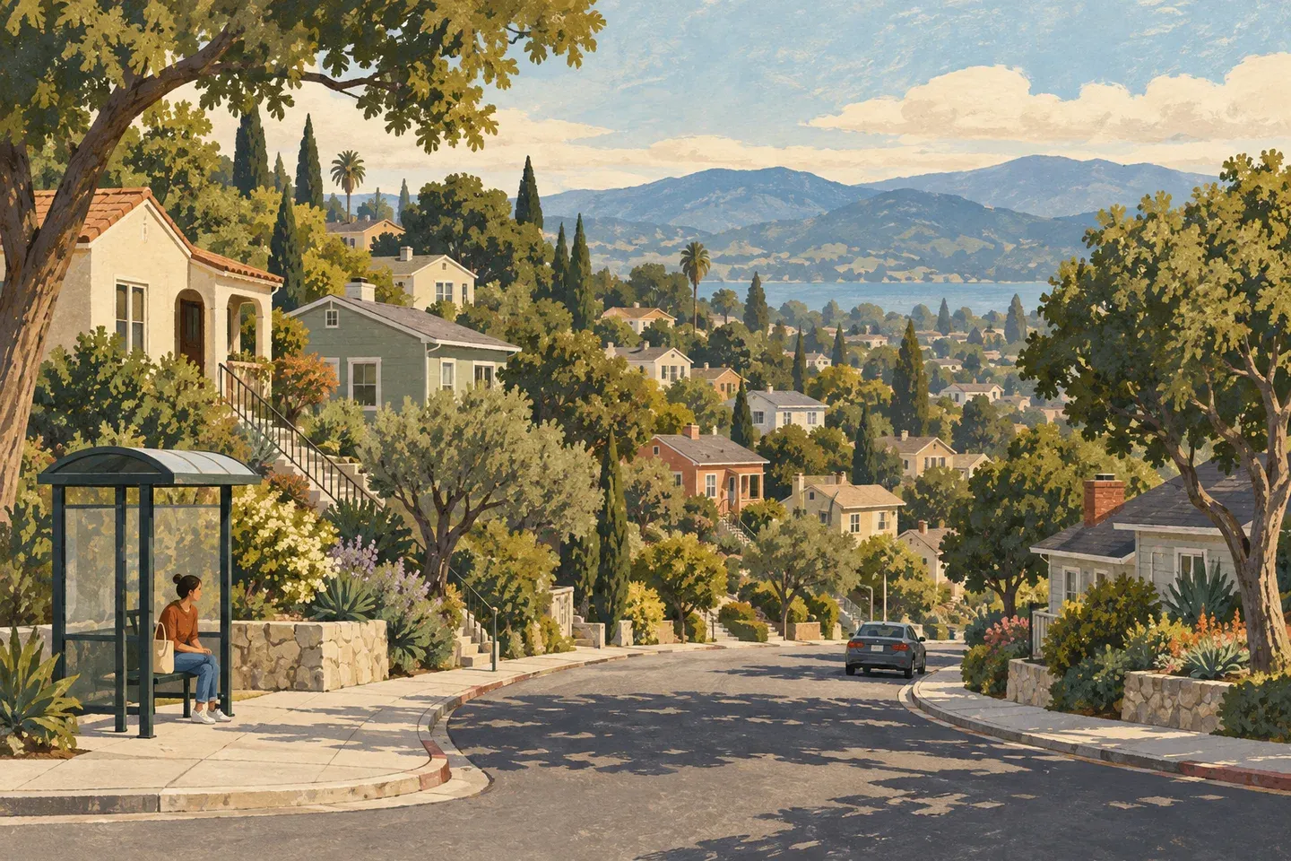 0.3 miPico-RobertsonPico-Robertson takes its name from two Westside boulevards with distinct local roles.
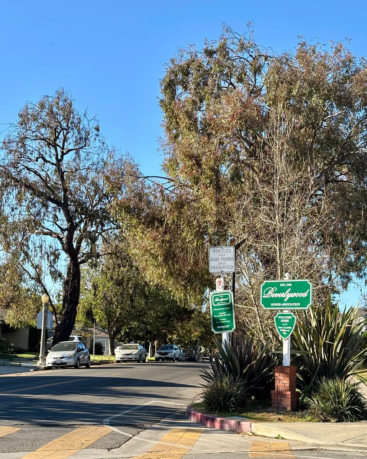 0.5 miBeverlywoodBeverlywood's residential history includes the community developed by Walter H.
- 1.2 miCarthayCarthay includes three preservation districts: Carthay Circle, South Carthay and Carthay Square.
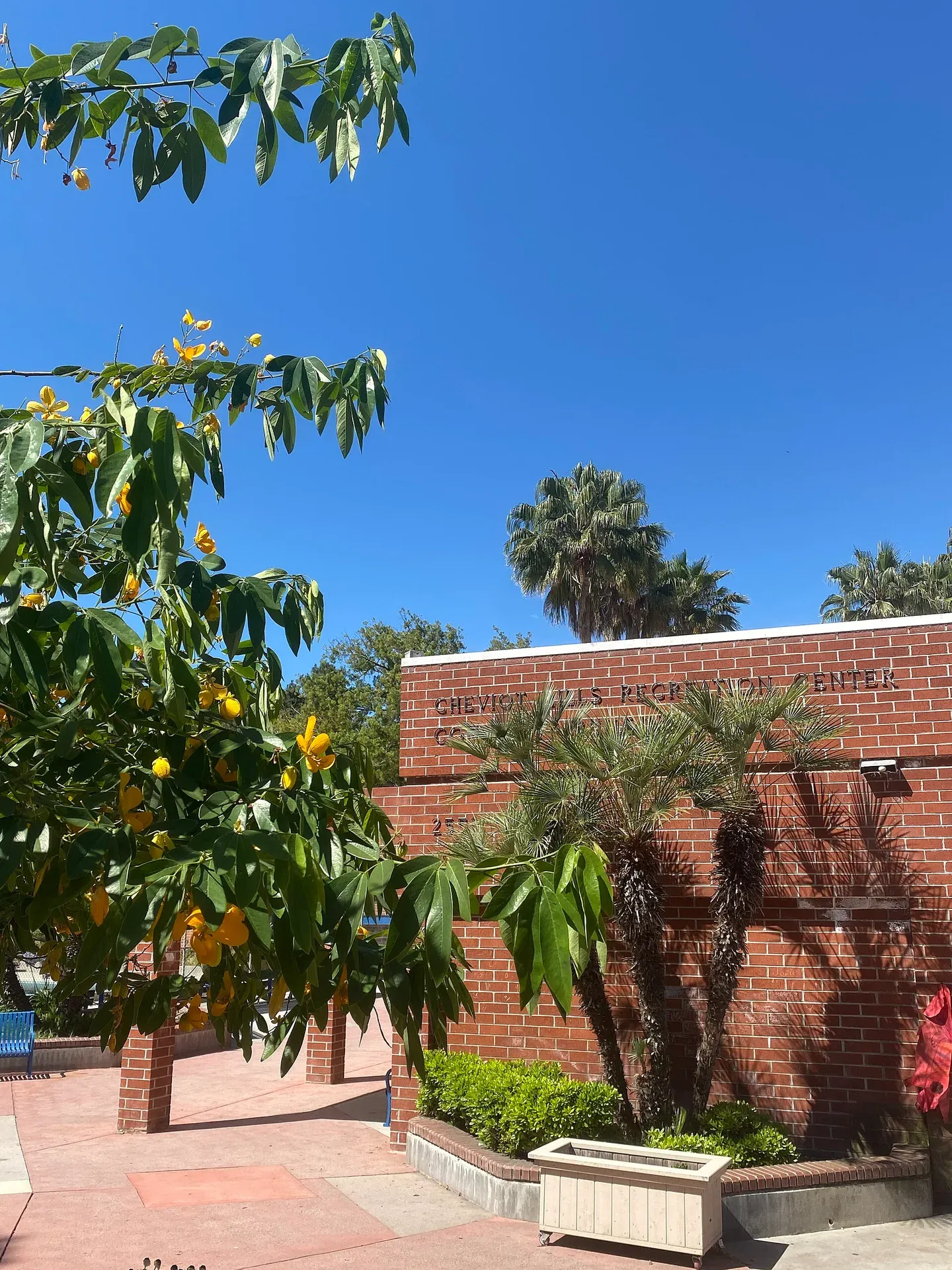 1.4 miCheviot HillsCheviot Hills is a Westside residential area with a substantial recreation destination on Motor Avenue.
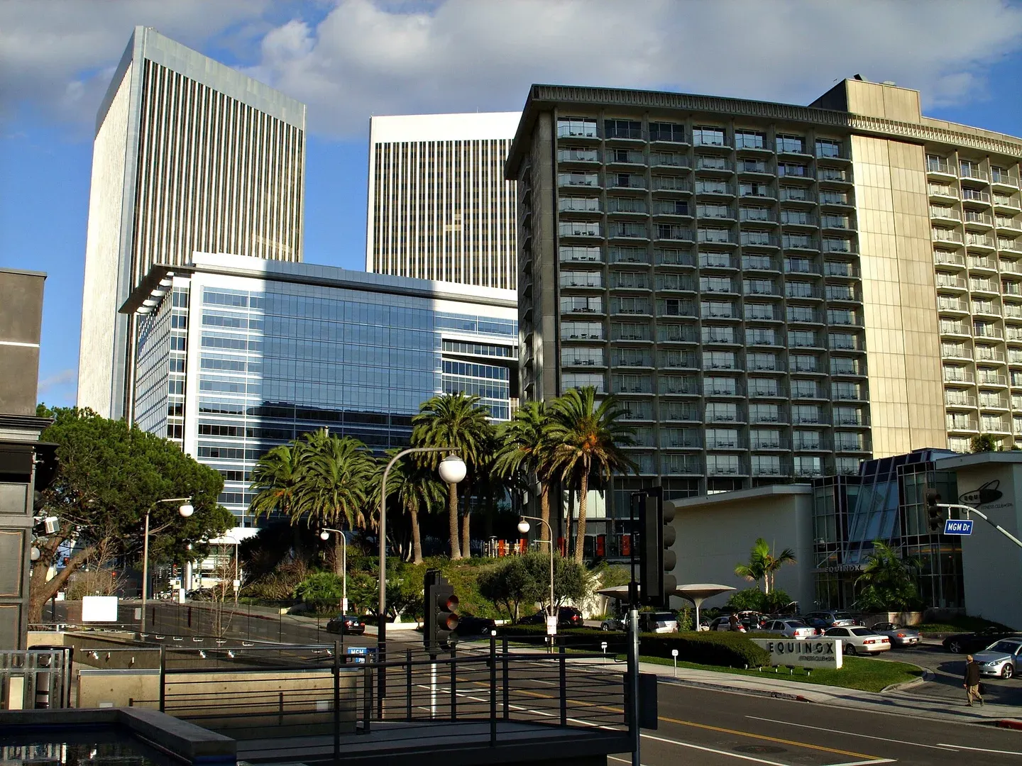 1.5 miCentury CityCentury City is a Westside employment and residential district with large buildings and destinations that can appear closer on a map than their entrances feel on foot.
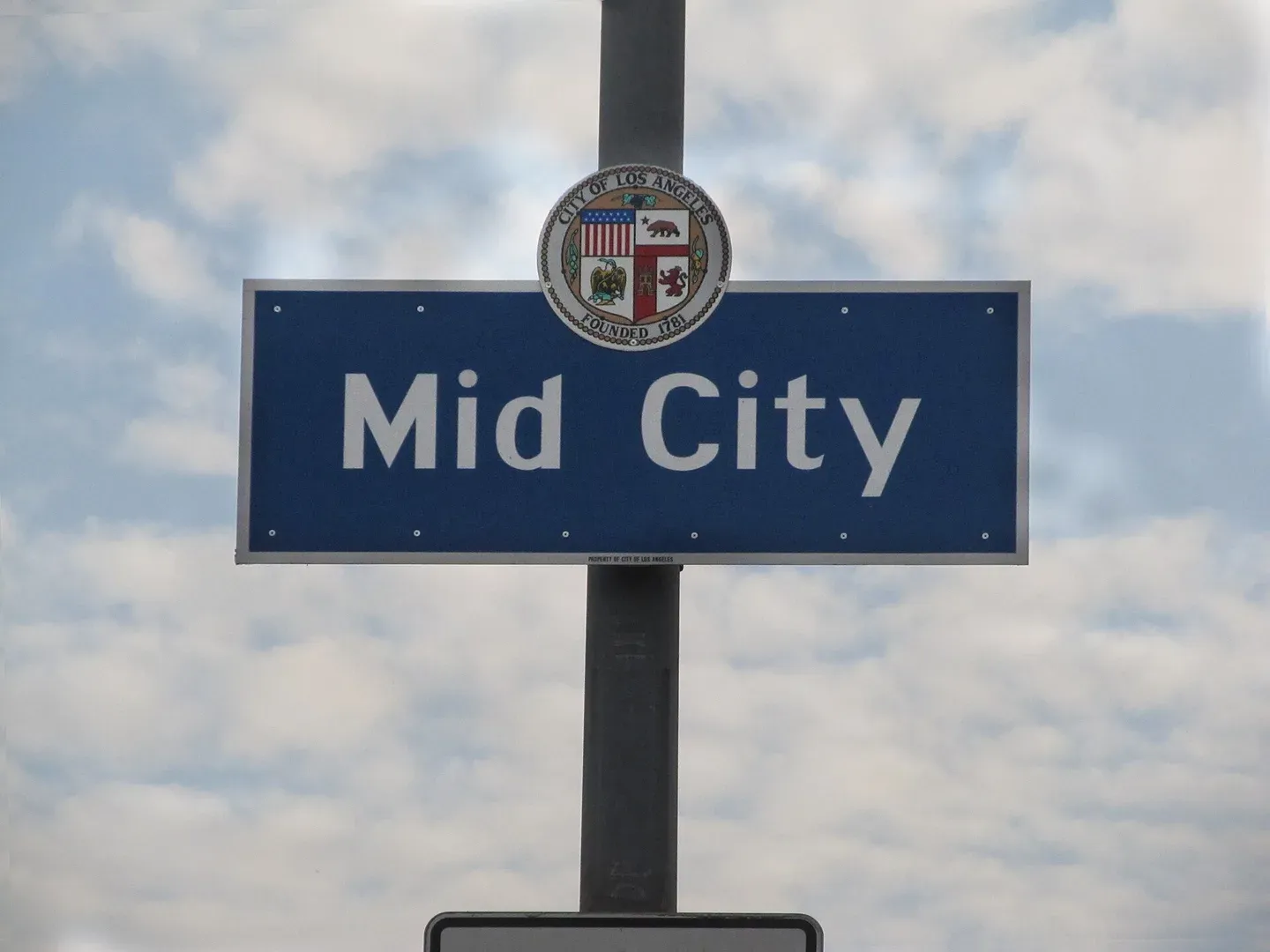 1.9 miMid-CityMid-City combines central Los Angeles residential streets with commercial roads such as Washington Boulevard.