


Public high school · Miami
Law Enforcement Officers Memorial High School
See which neighborhoods are closest to Law Enforcement Officers Memorial High School and what living in each one is like.
- Grades9–12
- TypePublic
- Students2812024–25 school year
- DistrictMIAMI-DADE
Neighborhoods and districts near Law Enforcement Officers Memorial High School
The closest neighborhoods and districts within 5 miles, measured from the school to the middle of each one.
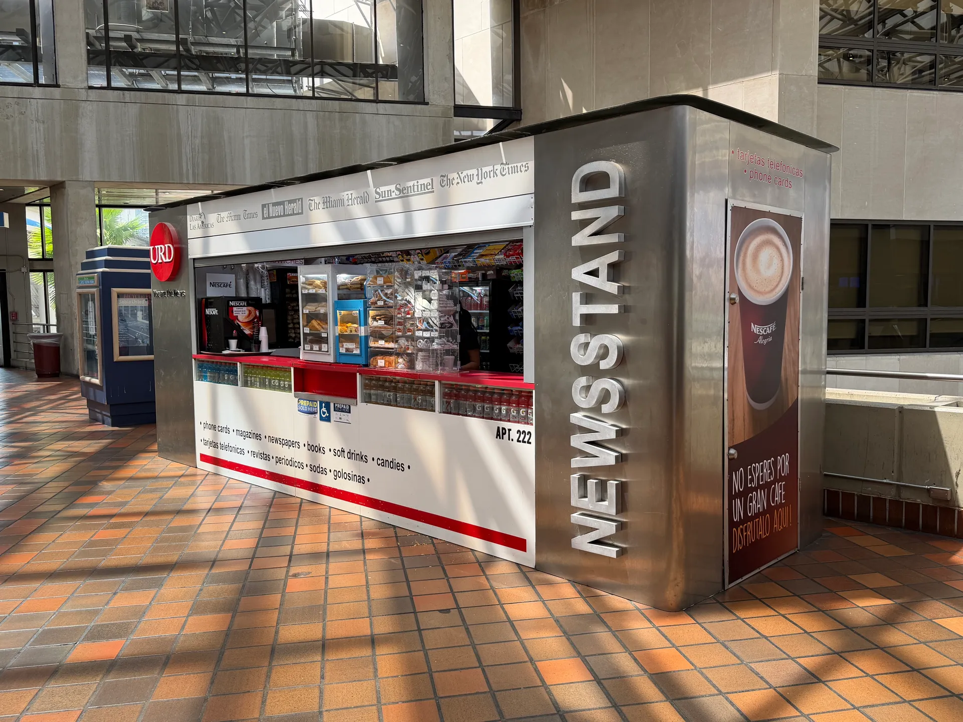 0.1 miGovernment CenterGovernment Center brings Miami's civic buildings together with a Metrorail–Metromover interchange.
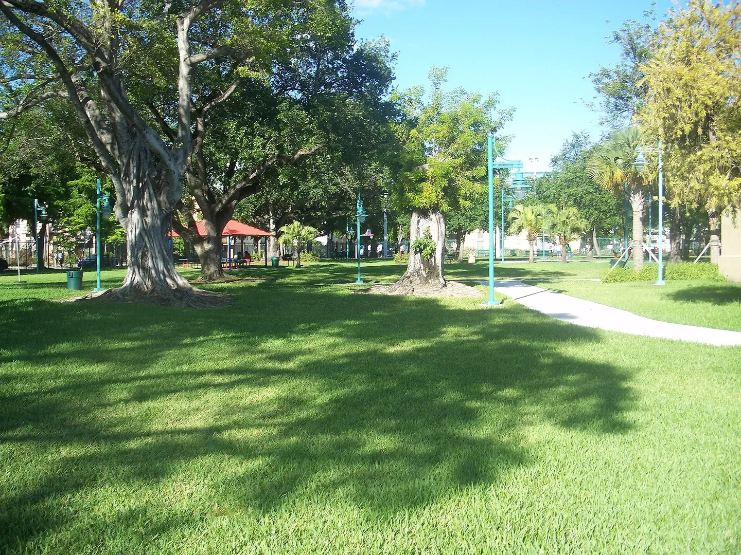 0.2 miLummus ParkThis Lummus Park is in mainland Miami near the river, distinct from the oceanfront park in Miami Beach.
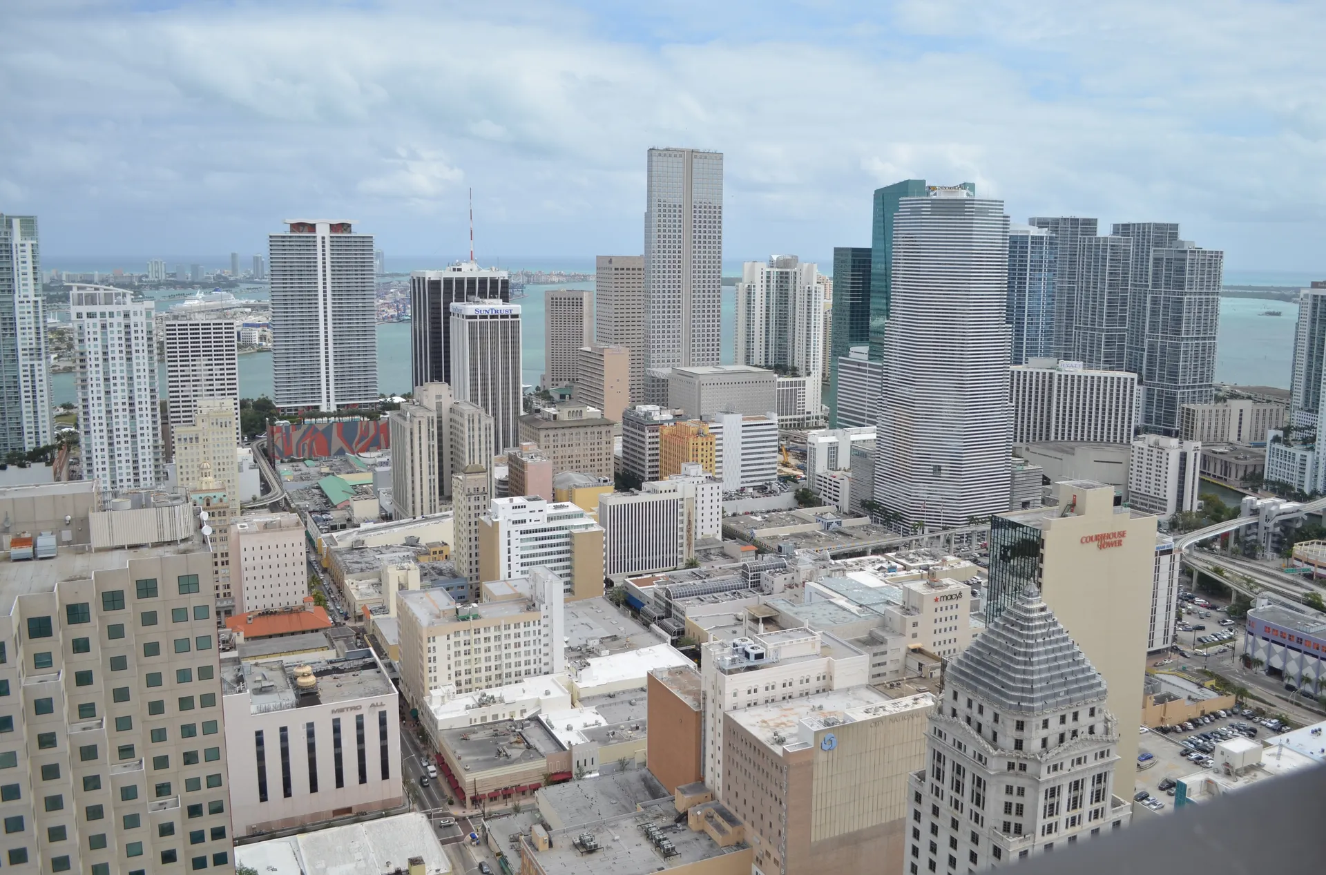 0.4 miCBDMiami’s central business district brings apartment towers, downtown offices and Metromover stations together near Bayfront Park.
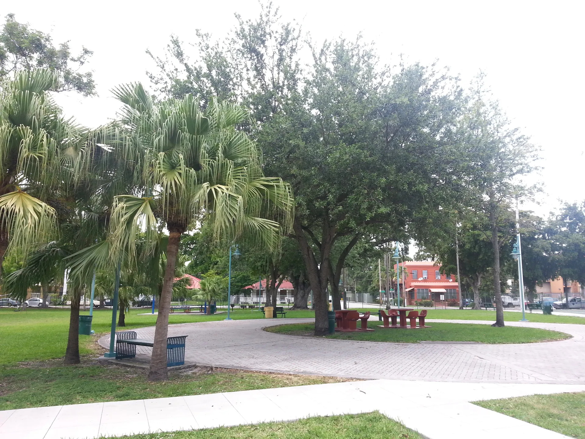 0.5 miLittle ManaguaThis page covers Little Managua as labeled on the City of Miami’s river-area map, west of downtown; Sweetwater farther west also uses the name.
 0.5 miSoutheast OvertownSoutheast Overtown places a home search near downtown's civic and transit destinations, with the residential block shaping the final approach to shops and stations.
 0.5 miMDCCMDCC is a historical map label around Miami Dade College’s downtown Wolfson Campus at 300 NE 2nd Avenue.
Other schools nearby
All Miami schools- Downtown Miami Charter SchoolCharter · Grades K–50.1 mi
- School for Advanced Studies-WolfsonPublic · Grades 11–120.3 mi
- New World School of the ArtsPublic · Grades 9–120.3 mi
- Miami Tech at Mater Innovation AcademyCharter · Grades 9–120.3 mi
- Frederick R. Douglass ElementaryPublic · Grades Pre-K–50.6 mi
- Mater Academy East Charter SchoolCharter · Grades K–80.6 mi