


Public elementary school · Miami
Shenandoah Elementary School
See which neighborhoods are closest to Shenandoah Elementary School and what living in each one is like.
- GradesPre-K–5
- TypePublic
- Students8052024–25 school year
- DistrictMIAMI-DADE
Neighborhoods and districts near Shenandoah Elementary School
The closest neighborhoods and districts within 5 miles, measured from the school to the middle of each one.
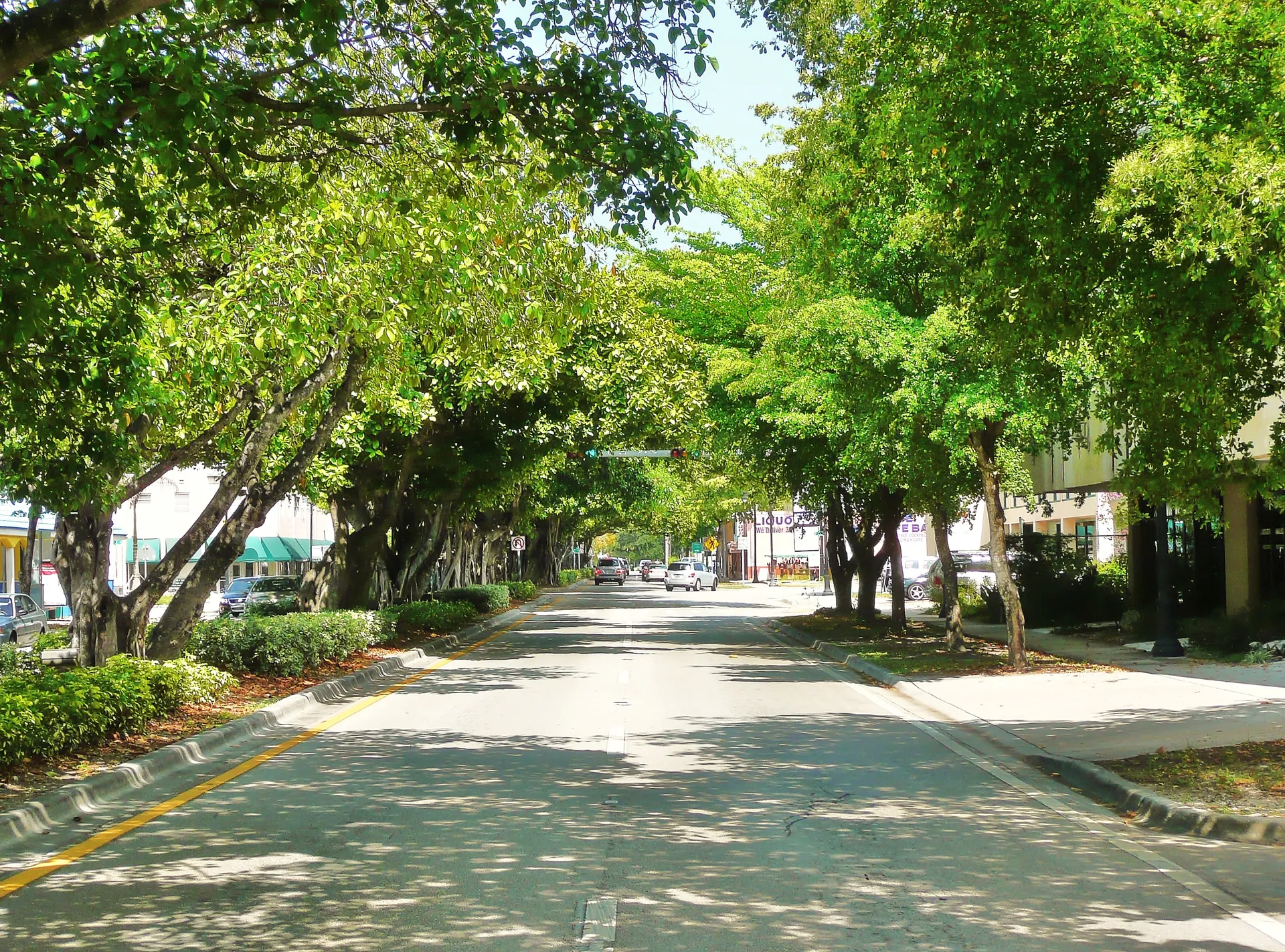 0.1 miShenandoah NorthShenandoah North’s mapped location sits south of Calle Ocho, where InTown Apartments provides a nearby rental example and the Little Havana trolley connects toward Brickell.
- 0.6 miShenandoah SouthShenandoah South’s mapped Miami location lies north of Coral Way, where the city trolley connects toward Vizcaya and Brickell.
 0.7 miCitrus GroveCitrus Grove’s residential blocks have an east–west bus option on NW 7th Street and grocery shopping on West Flagler Street.
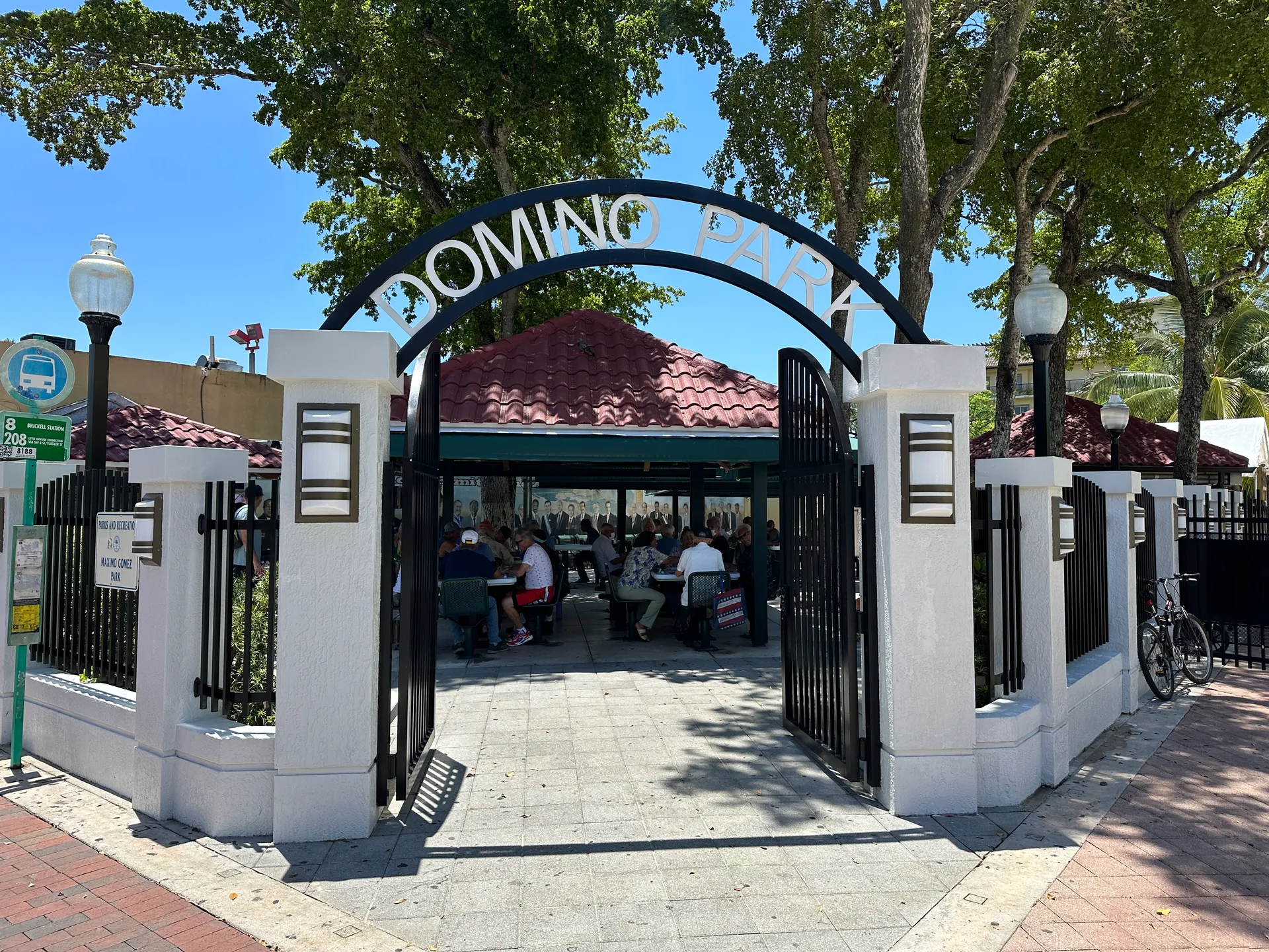 0.8 miLatin QuarterLatin Quarter is a Miami map label within the wider Little Havana setting.
- 0.9 miParkdale NorthParkdale North is an inland Miami map label between the SW 8th Street and Coral Way corridors.
- 1.1 miParkdale SouthParkdale South places a home search near Coral Way, where the approach from the residential block matters for shopping and travel along the corridor.
Other schools nearby
All Miami schools- Lincoln-Marti Community Agency #23Private · Grades K–80.3 mi
- International Studies Charter High SchoolCharter · Grades 9–120.5 mi
- International Studies Charter Middle SchoolCharter · Grades 6–80.5 mi
- Bridgeprep Academy Interamerican CampusCharter · Grades K–80.6 mi
- Shenandoah Middle SchoolPublic · Grades 6–80.6 mi
- Tamiami United Methodist ElementaryPrivate · Grades Pre-K–80.7 mi