


Half Moon Bay State Beach
- Beach
- Regional draw
- Half Moon Bay
Half Moon Bay State Beach protects a long stretch of sandy Pacific shoreline with several separate beach access areas.

Broad coastal views and walking opportunities make it a useful outdoor destination beyond the shops and streets of central Half Moon Bay.
Choose an entrance using the state park map and check current parking, trail and coastal notices. Surf, cold water and changing conditions require care even when the sand appears calm. The photograph shows one section of the shoreline; camping reservations and other managed uses are separate from a casual beach visit.
Visitor details reviewed October 18, 2026. Check official visitor information for current access, admission, and operating arrangements. View on OpenStreetMap.
Image credit: No machine-readable author provided. Seano1~commonswiki assumed (based on copyright claims). / Wikimedia Commons. Original source. CC BY 2.5. Resized and converted to WebP; may be cropped for display.
Nearby
More places nearby
 CarolandsCarolands preserves a grand early-twentieth-century château and landscaped estate in Hillsborough.
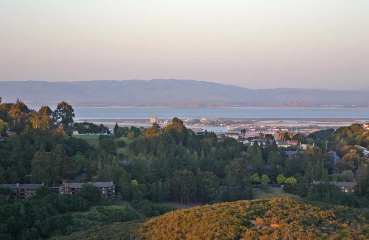 Pulgas Ridge Open Space PreservePulgas Ridge Open Space Preserve protects wooded slopes and open viewpoints near Redwood City.
 Sánchez Adobe ParkSánchez Adobe Park in Pacifica preserves a historic residence and archaeological landscape in the Linda Mar Valley.