


Mary Cummings Park
- Park
- Regional draw
- Burlington
Mary Cummings Park protects former farmland and natural habitat across Burlington and Woburn.

Open fields, woods and seasonal wetlands provide a quieter walking destination among the surrounding development, with broad skies and changing wildflowers contributing to the character of the landscape.
Use the park’s current trail map to choose a recognized access point and keep to established routes, especially around wet areas. The property is managed by The Trustees, with a local friends group sharing maps and nature information. The photograph shows one of the park’s informal paths through field vegetation.
Visitor details reviewed October 18, 2026. Check official visitor information for current access, admission, and operating arrangements. View on OpenStreetMap.
Image credit: Psoreilly at English Wikipedia / Wikimedia Commons. Original source. Public domain. Resized and converted to WebP; may be cropped for display.
Nearby
More places nearby
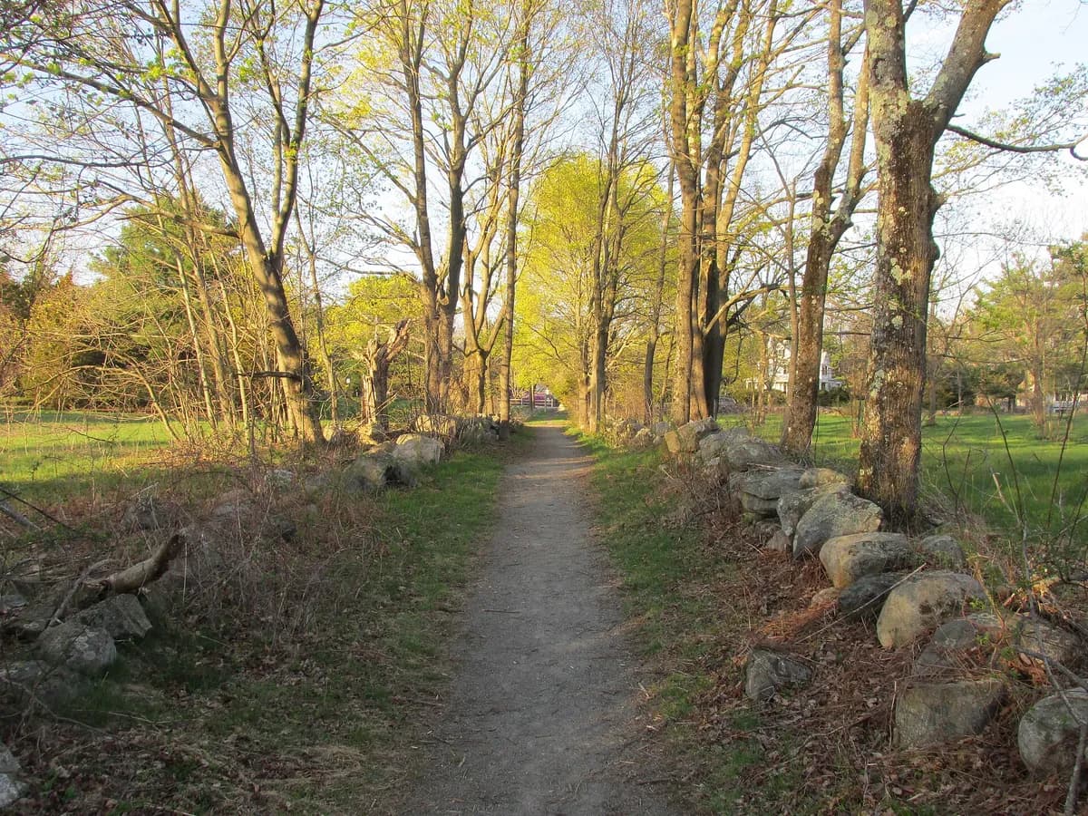 Willard's WoodsWillard’s Woods offers a substantial conservation landscape of meadows, forest and wet ground in Lexington.
 Hancock-Clarke HouseHancock-Clarke House in Lexington connects the night before the fighting of April 1775 with a preserved domestic setting.
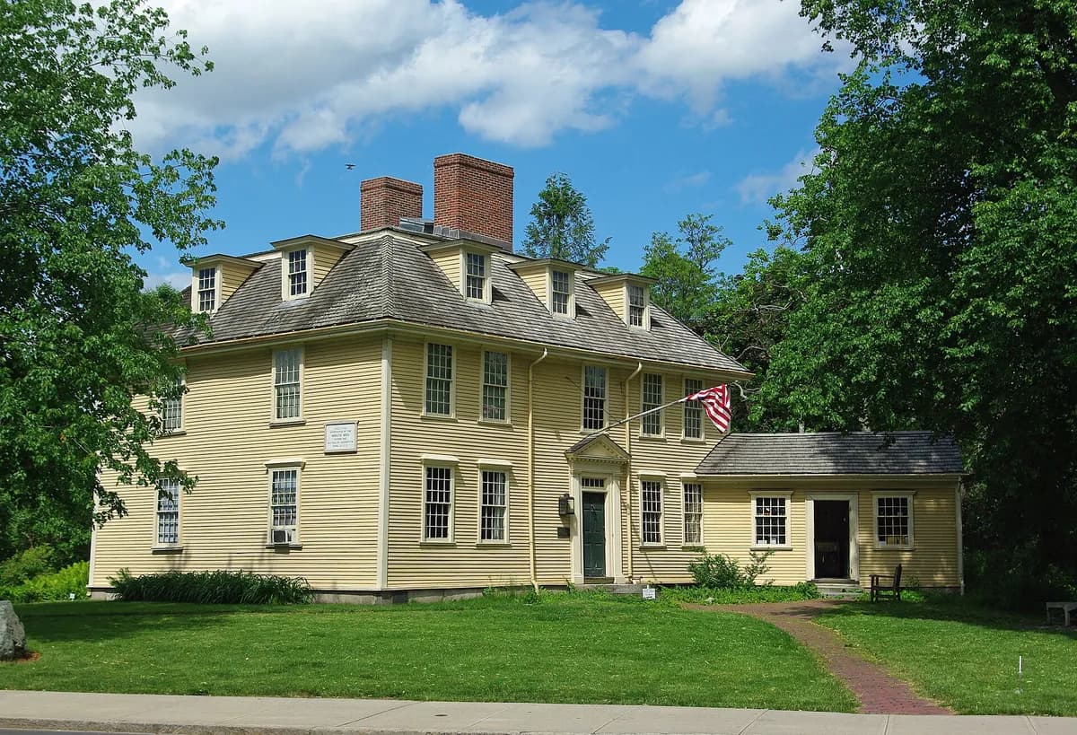 Buckman TavernBuckman Tavern preserves a historic gathering place beside Lexington Battle Green.
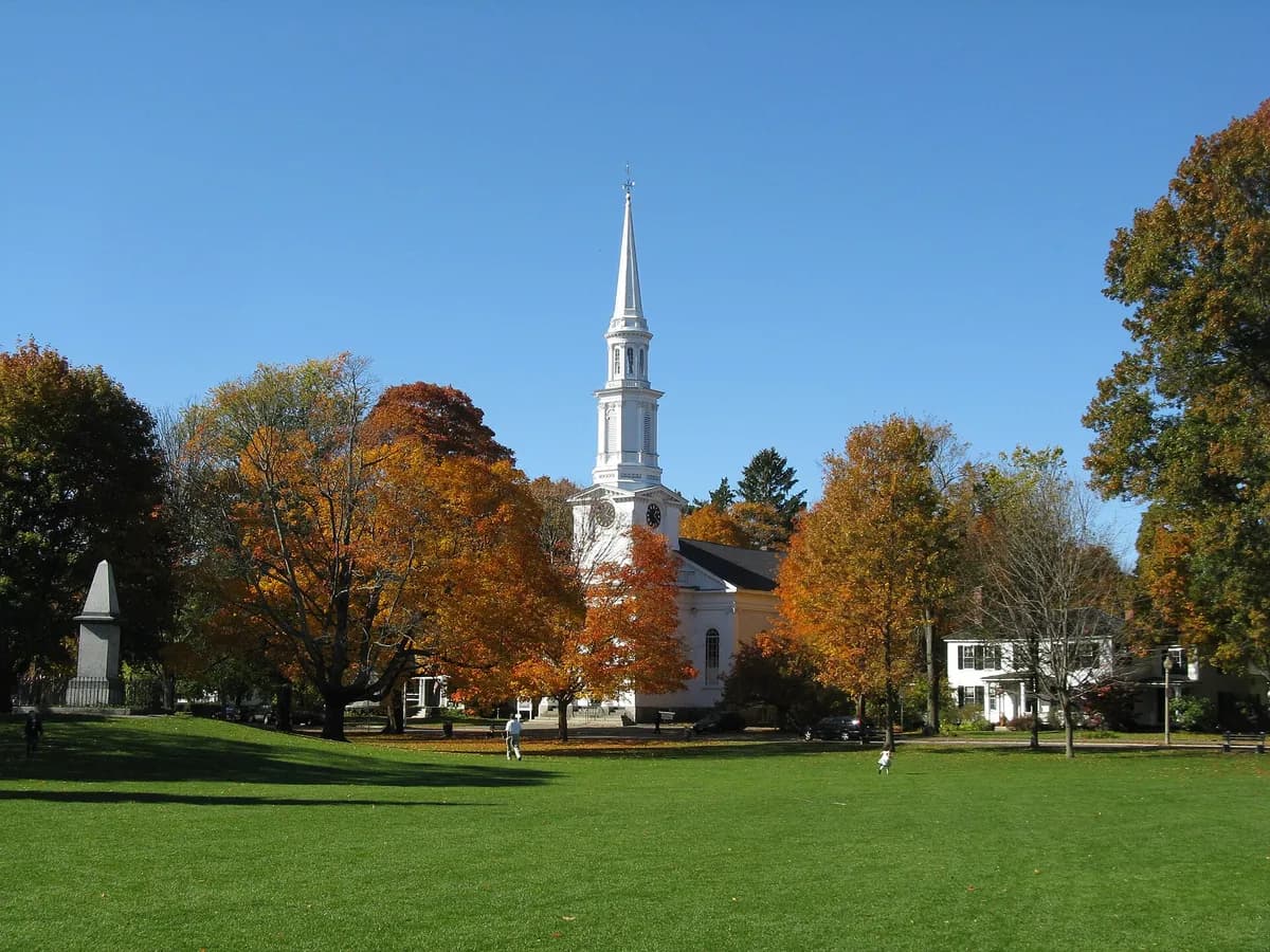 Lexington Battle GreenLexington Battle Green preserves the public common associated with the opening battle of the American Revolution.
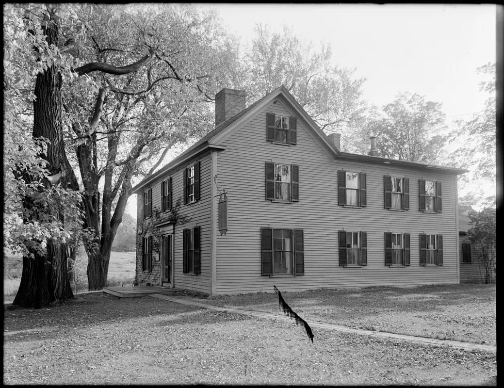 Munroe TavernMunroe Tavern in Lexington preserves a building associated with British forces during the fighting of April 1775.
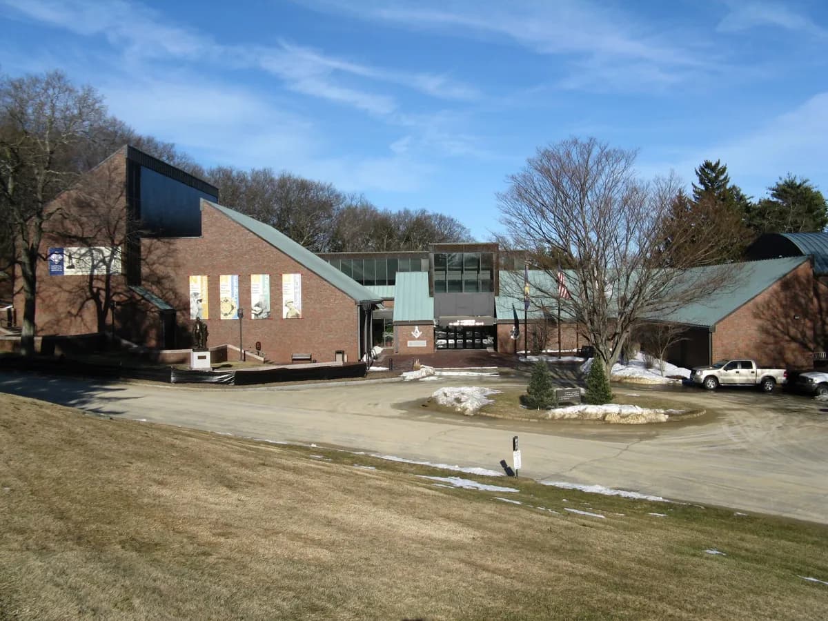 Scottish Rite Masonic Museum and LibraryScottish Rite Masonic Museum and Library presents American history and material culture in Lexington, with particular attention to fraternal organizations and Freemasonry.