


Niagara Falls State Park
- Park
- Regional draw
- Niagara Falls
Niagara Falls State Park provides the main public park setting on the United States side of Niagara Falls.
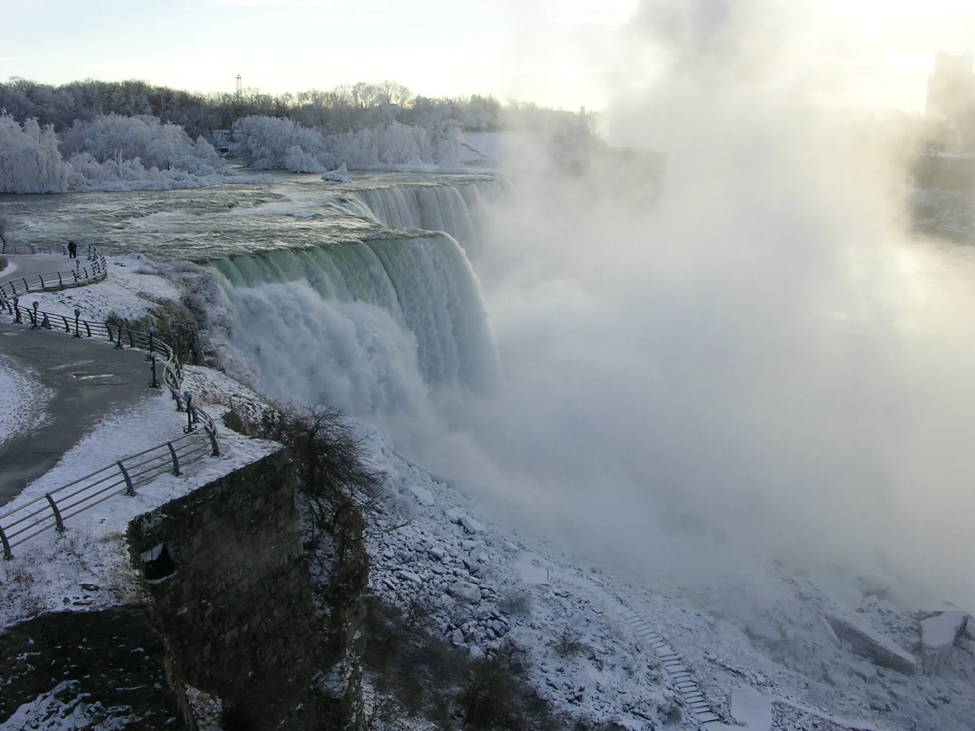
Overlooks, island paths and landscaped approaches connect visitors with the falls and the powerful Niagara River.
Use current state-park maps and notices to plan an approach and distinguish open public grounds from separately ticketed experiences. The photograph shows an earlier winter view of the American Falls, not today’s weather or the Canadian park across the border. Stay behind barriers and allow for spray, ice and seasonal closures. Individual attractions have their own operating calendars.
Visitor details reviewed October 18, 2026. Check official visitor information for current access, admission, and operating arrangements. View on OpenStreetMap.
Image credit: The original uploader was MpegMan at English Wikipedia. / Wikimedia Commons. Original source. CC BY-SA 3.0. Resized and converted to WebP; may be cropped for display.
Nearby
More places nearby
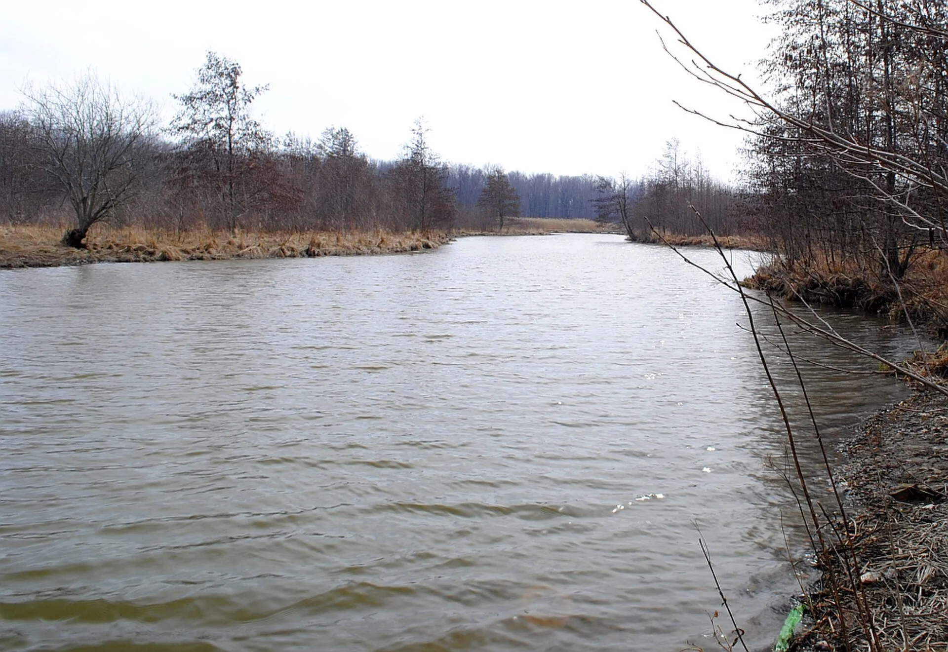 Buckhorn Island State ParkBuckhorn Island State Park protects a wetland and riverside landscape at the northern end of Grand Island.
 Niagara Aerospace MuseumNiagara Aerospace Museum explores western New York’s aviation and aerospace history in the former terminal at Niagara Falls International Airport.