


Oleta River State Park
- Park
- Regional draw
- North Miami
Oleta River State Park protects mangrove-lined waterways and recreation areas beside northern Biscayne Bay.
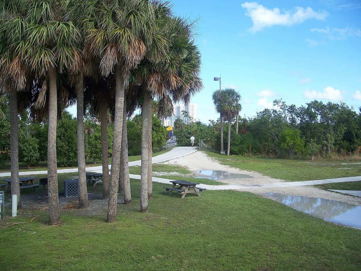
Trails and water-based experiences give the park a broad outdoor role near North Miami and North Miami Beach.
Use the current state-park map and notices to choose a land or water route. Equipment rentals, camping and organized activities have separate arrangements. The photograph shows a developed path and picnic landscape rather than the entire mangrove system or a current assessment of paddling and swimming conditions.
Visitor details reviewed October 18, 2026. Check official visitor information for current access, admission, and operating arrangements. View on OpenStreetMap.
Image credit: Ebyabe / Wikimedia Commons. Original source. CC BY-SA 3.0. Resized and converted to WebP; may be cropped for display.
Nearby
More places nearby
 Haulover ParkHaulover Park combines Atlantic beach frontage with a larger county recreation landscape between Bal Harbour and Sunny Isles Beach.
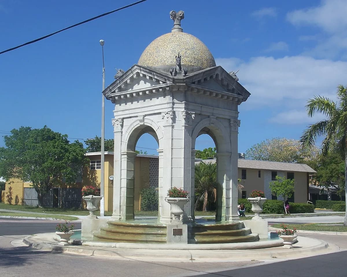 Fulford-by-the-Sea MonumentFulford-by-the-Sea Monument preserves an ornate architectural marker associated with the early development of North Miami Beach.
- Pelican Harbor MarinaA county-operated marina with boat launching, slips, fuel and mooring services.
- Belle Meade Mini ParkA small NE 77th Street park with play space and picnic tables.
- Legion Memorial ParkAn Upper Eastside waterfront park with play space, a dog park and a boat ramp.
- Little Haiti Cultural ComplexA city-run center for Afro-Caribbean arts and community programming.