


Rock Creek Greenway
- Park
- Regional draw
- Hillsboro
Rock Creek Greenway preserves a wooded creek corridor through Hillsboro, with walking routes linking neighborhood parks and natural areas.
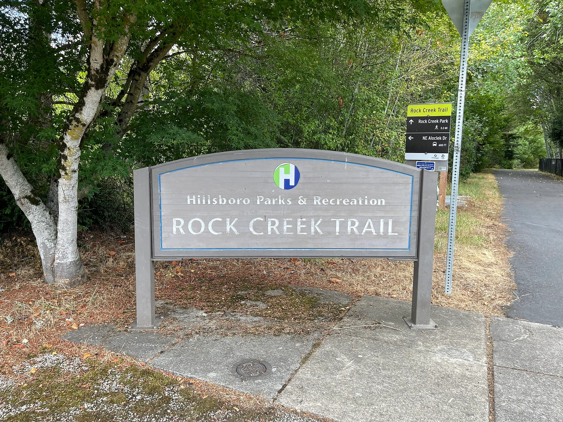
Paved paths, boardwalk sections and viewpoints provide opportunities to watch the changing streamside landscape.
The photograph shows an actual Hillsboro Rock Creek Trail sign. Use the city’s current maps to choose a public approach, such as Orchard Park, and confirm trail conditions before travelling. This listing covers the Hillsboro greenway, distinct from similarly named facilities managed farther north. High water, wildlife activity and maintenance can interrupt individual sections. Remain on designated routes and respect habitat restrictions and any posted closures.
Visitor details reviewed October 26, 2026. Check official visitor information for current access, admission, and operating arrangements. View on OpenStreetMap.
Image credit: Ac530 / Wikimedia Commons. Original source. CC BY 4.0. Resized and converted to WebP; may be cropped for display.
Nearby
More places nearby
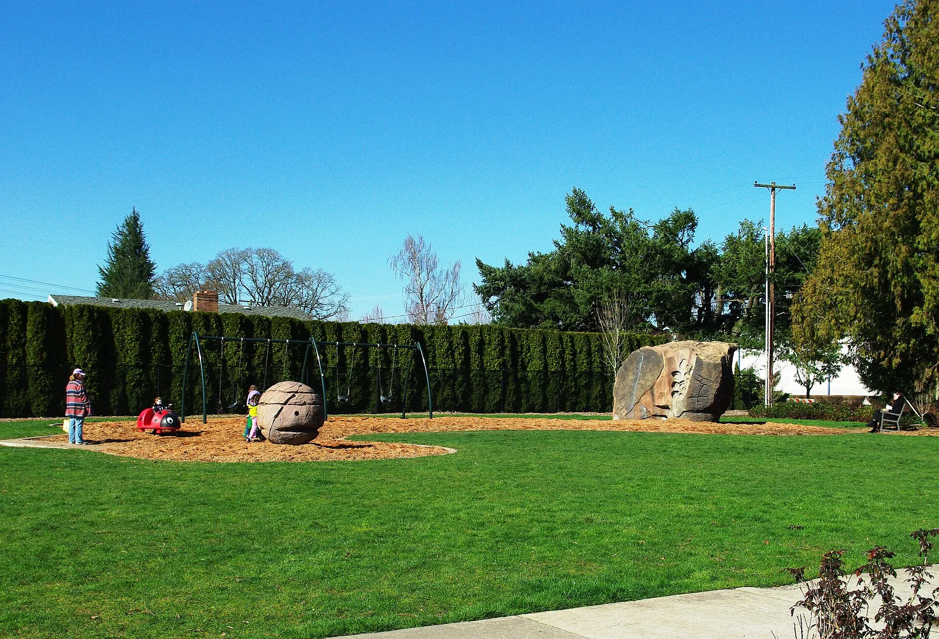 Orchard Park, HillsboroOrchard Park combines neighborhood recreation with wetland and creek habitats in Hillsboro.
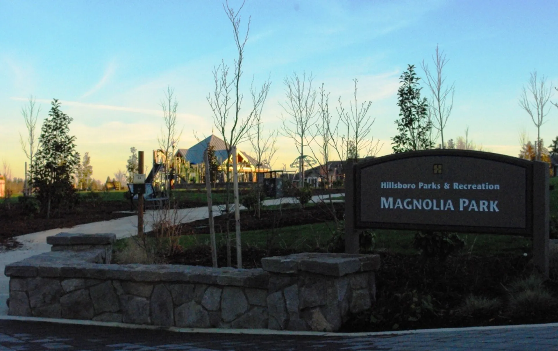 Magnolia Park, HillsboroMagnolia Park provides a planted neighborhood recreation space in Hillsboro’s AmberGlen area.
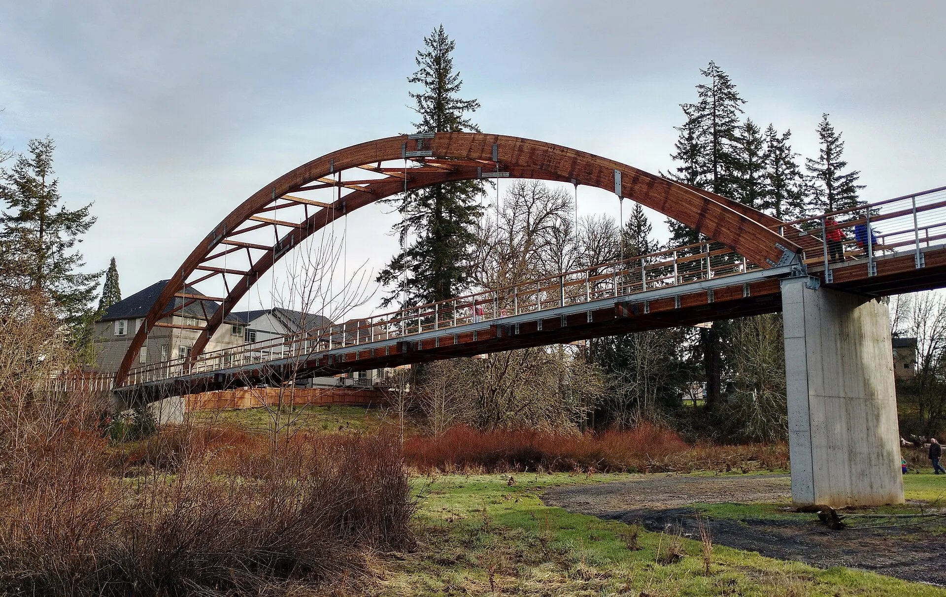 Orenco Woods Nature ParkOrenco Woods Nature Park protects wetland and woodland habitat along Rock Creek in Hillsboro.
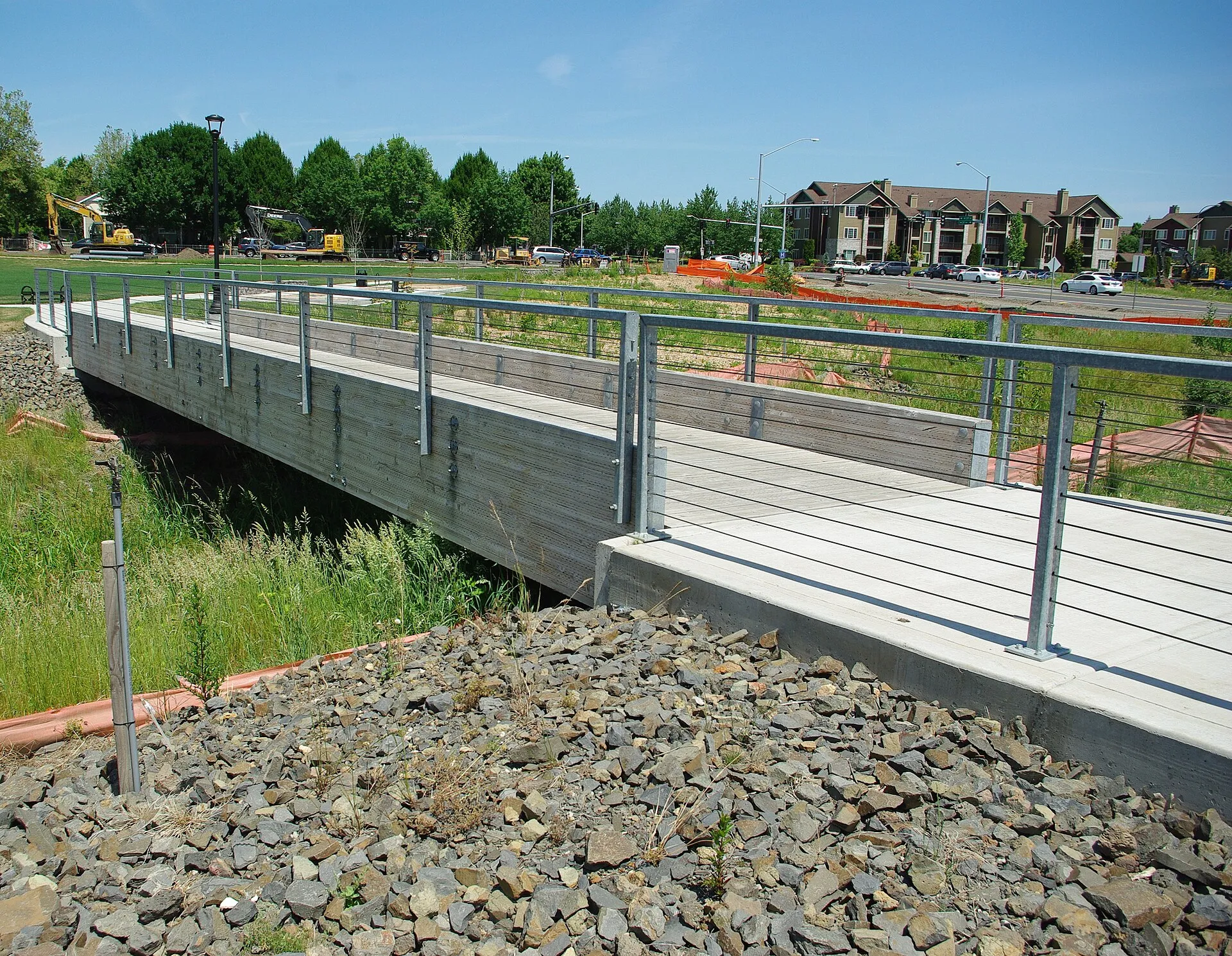 Cornell Creek ParkCornell Creek Park offers a compact recreation landscape in Hillsboro’s Orenco Station neighborhood.
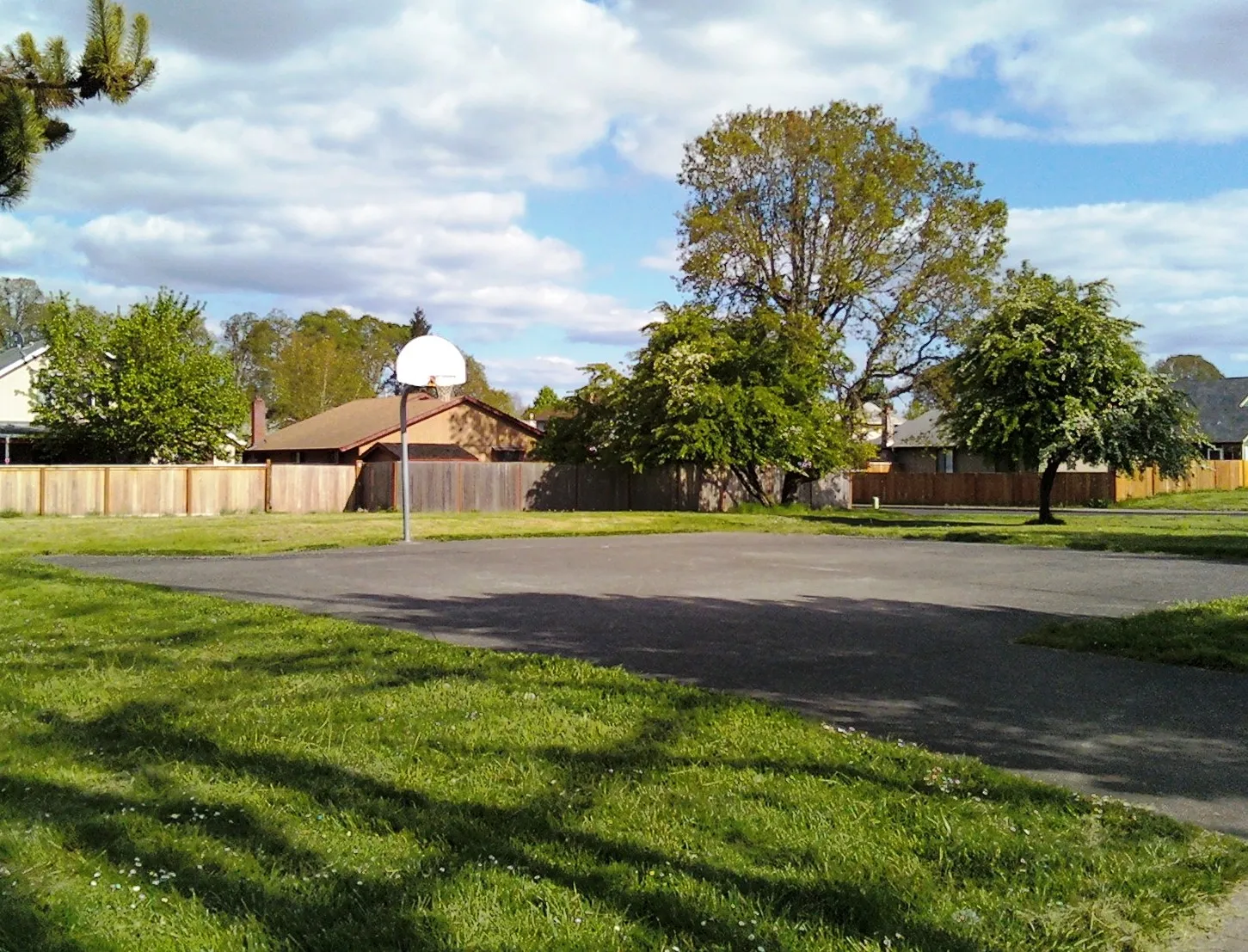 Paula Jean Powerline ParkPaula Jean Powerline Park forms part of a long recreation corridor linking neighborhood play areas and open meadow.
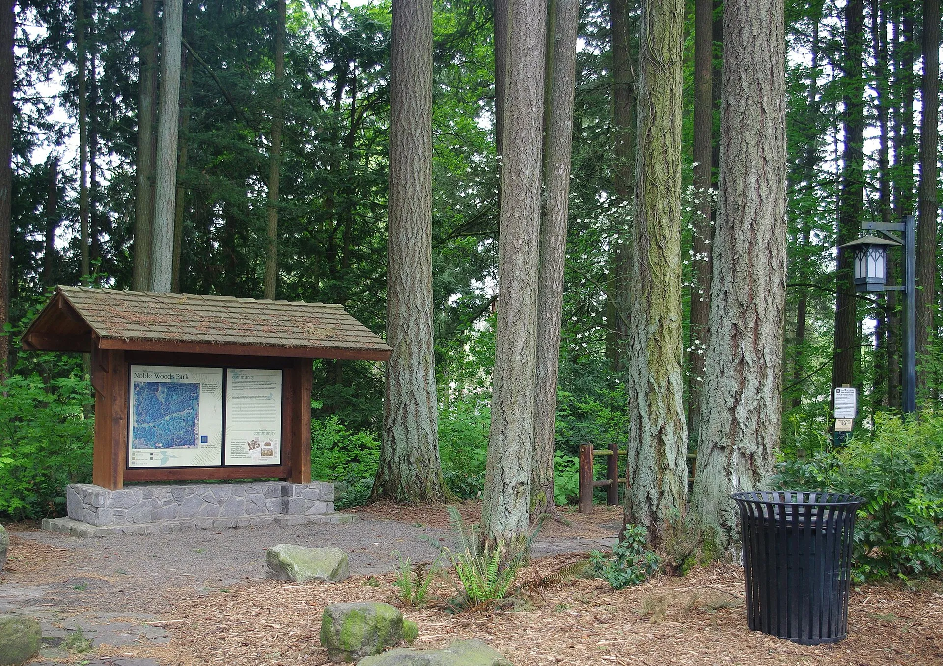 Noble Woods ParkNoble Woods Park protects mature forest and creek habitat in Hillsboro.