


Skyline Regional Park
- Regional park
- Regional draw
- Buckeye
Skyline Regional Park protects a desert mountain landscape at the southern end of the White Tank Mountains in Buckeye.
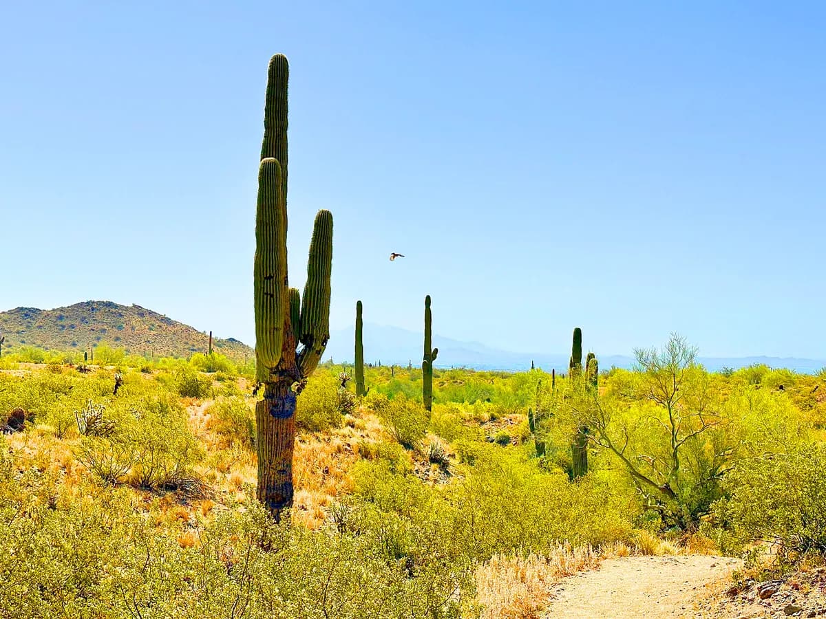
Marked trails lead through Sonoran Desert vegetation and rocky terrain, offering routes with different lengths and levels of effort. The setting is best experienced as an outdoor excursion with appropriate preparation.
Check the city's current trail map, alerts, and gate information before choosing a route. Carry ample water, avoid dangerous heat, and plan for limited shade. Stay on designated trails, give other users space, and confirm any camping or organized-group arrangements separately from ordinary daytime access.
Visitor details reviewed October 18, 2026. Check official visitor information for current access, admission, and operating arrangements. View on OpenStreetMap.
Image credit: Mwinog2777 / Wikimedia Commons. Original source. CC BY-SA 4.0. Resized and converted to WebP; may be cropped for display.
Nearby
More places nearby
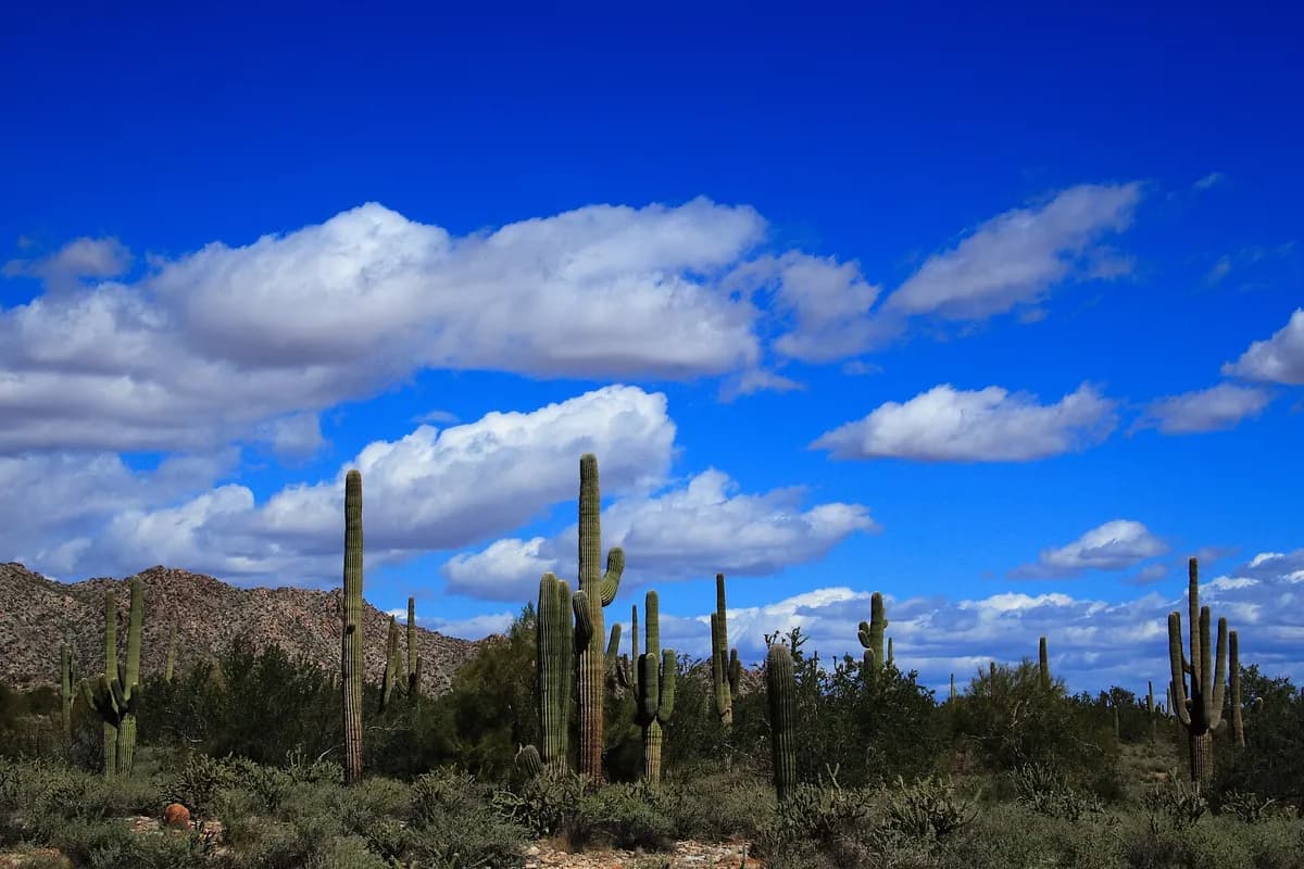 White Tank Mountain Regional ParkWhite Tank Mountain Regional Park protects a broad desert mountain landscape west of the Phoenix metropolitan area.
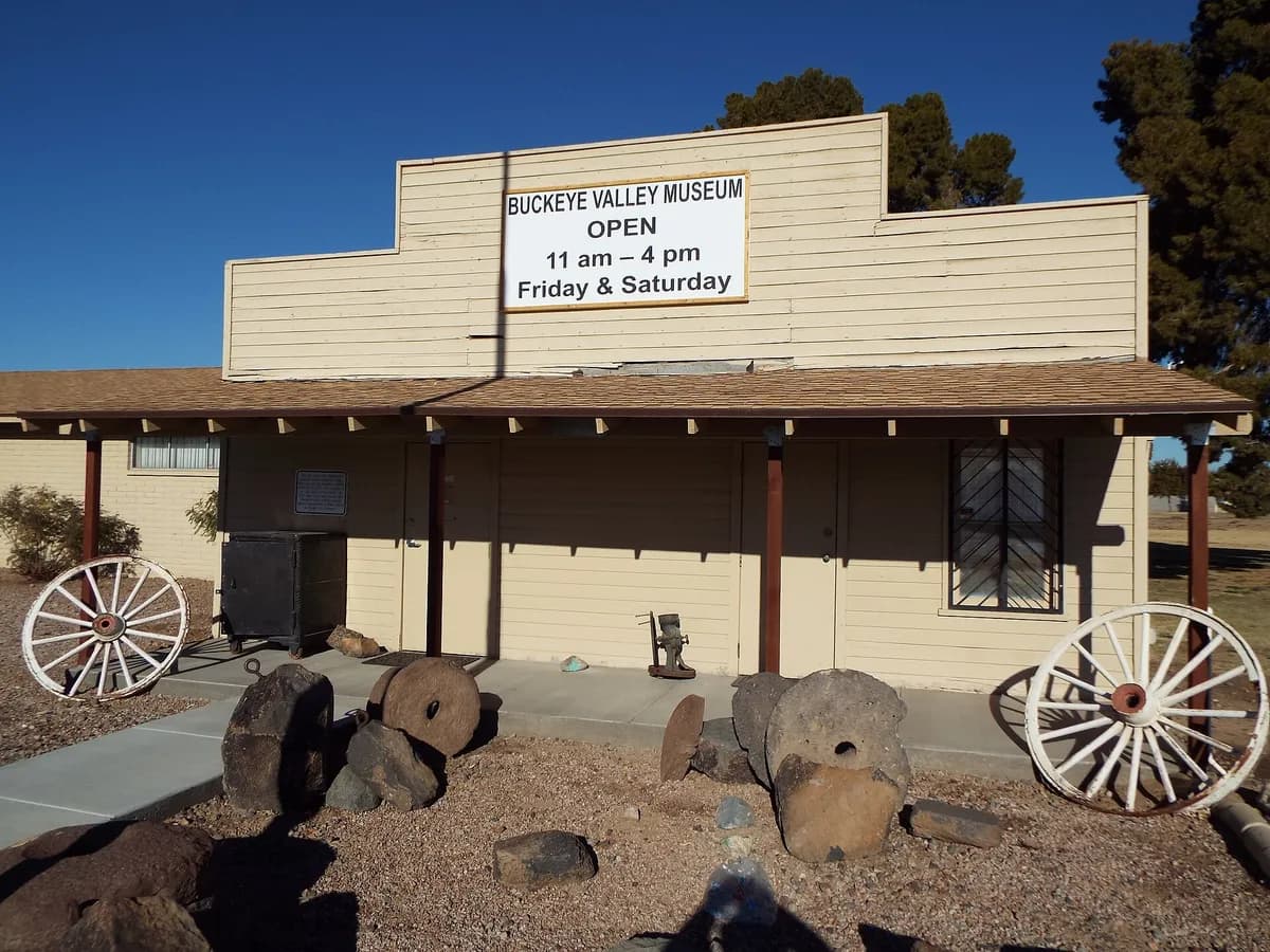 Buckeye Valley MuseumBuckeye Valley Museum introduces the history of Buckeye and neighboring West Valley communities through artifacts, photographs, and local stories.