


University Arboretum, Sacramento State
- Park
- Regional draw
- Sacramento
Sacramento State’s University Arboretum brings together plants from California and other world regions near the campus’s northern entrance.
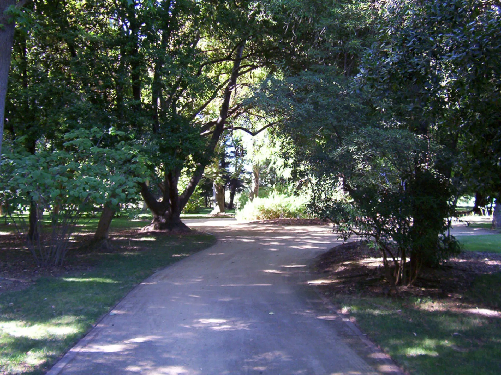
Paths, trees and themed planting areas support teaching as well as quiet walks and an outdoor look at botanical diversity.
The photograph shows the actual arboretum landscape. Use the university’s current visitor map for access and check campus parking requirements before travelling. Classes, guided visits and volunteer programs have separate arrangements. Plant displays change with the seasons, and wildlife should be watched from a distance. Stay on designated routes, respect teaching activities and planted beds, and avoid entering service or research areas.
Visitor details reviewed October 26, 2026. Check official visitor information for current access, admission, and operating arrangements. View on OpenStreetMap.
Image credit: DevinCook at English Wikipedia / Wikimedia Commons. Original source. Public domain. Resized and converted to WebP; may be cropped for display.
Nearby
More places nearby
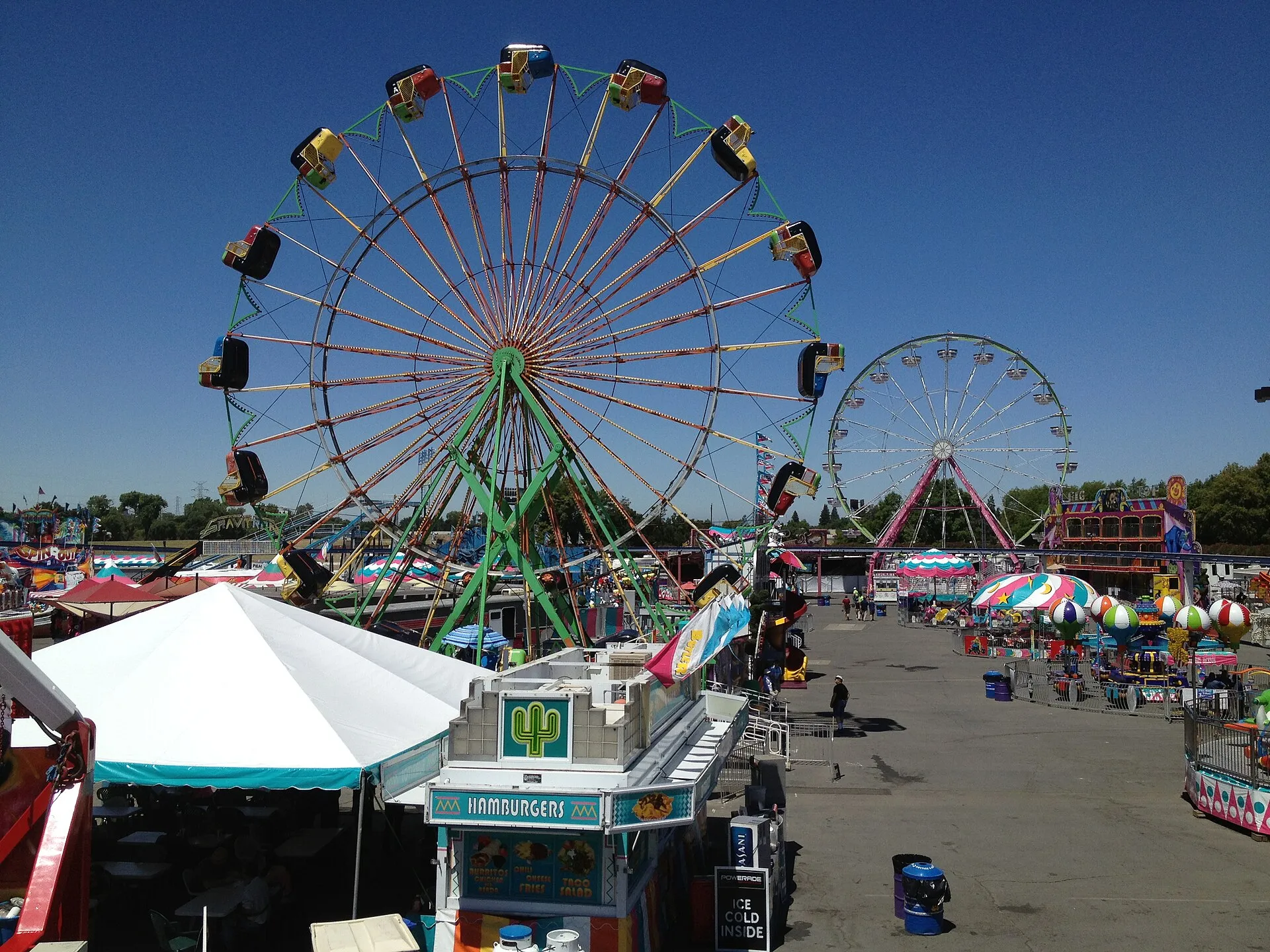 Cal Expo, SacramentoCal Expo is a major Sacramento events campus and the home of the California State Fair.
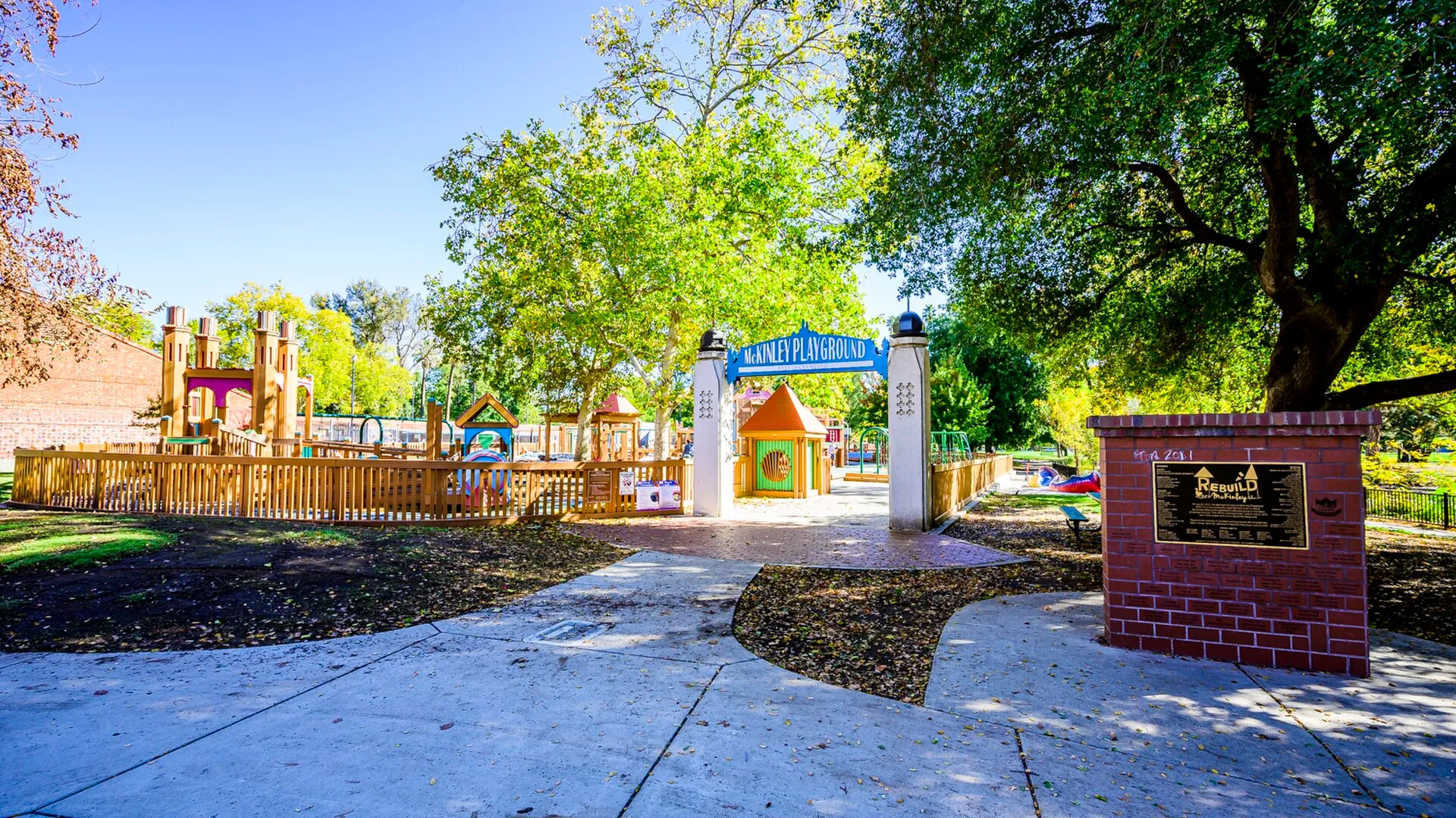 McKinley ParkMcKinley Park offers lawns, paths, recreation areas, and a well-known rose garden in Sacramento's residential neighborhoods.
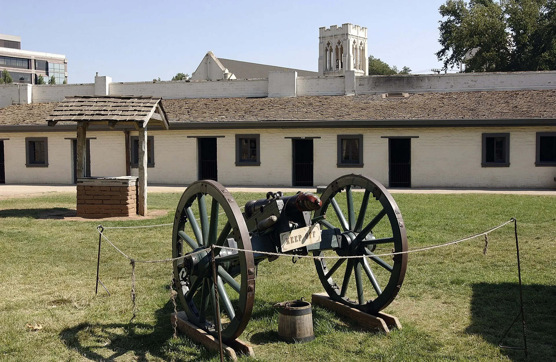 Sutter's Fort State Historic ParkSutter's Fort State Historic Park preserves a reconstructed and surviving historic setting associated with Sacramento's early colonial and Gold Rush history.
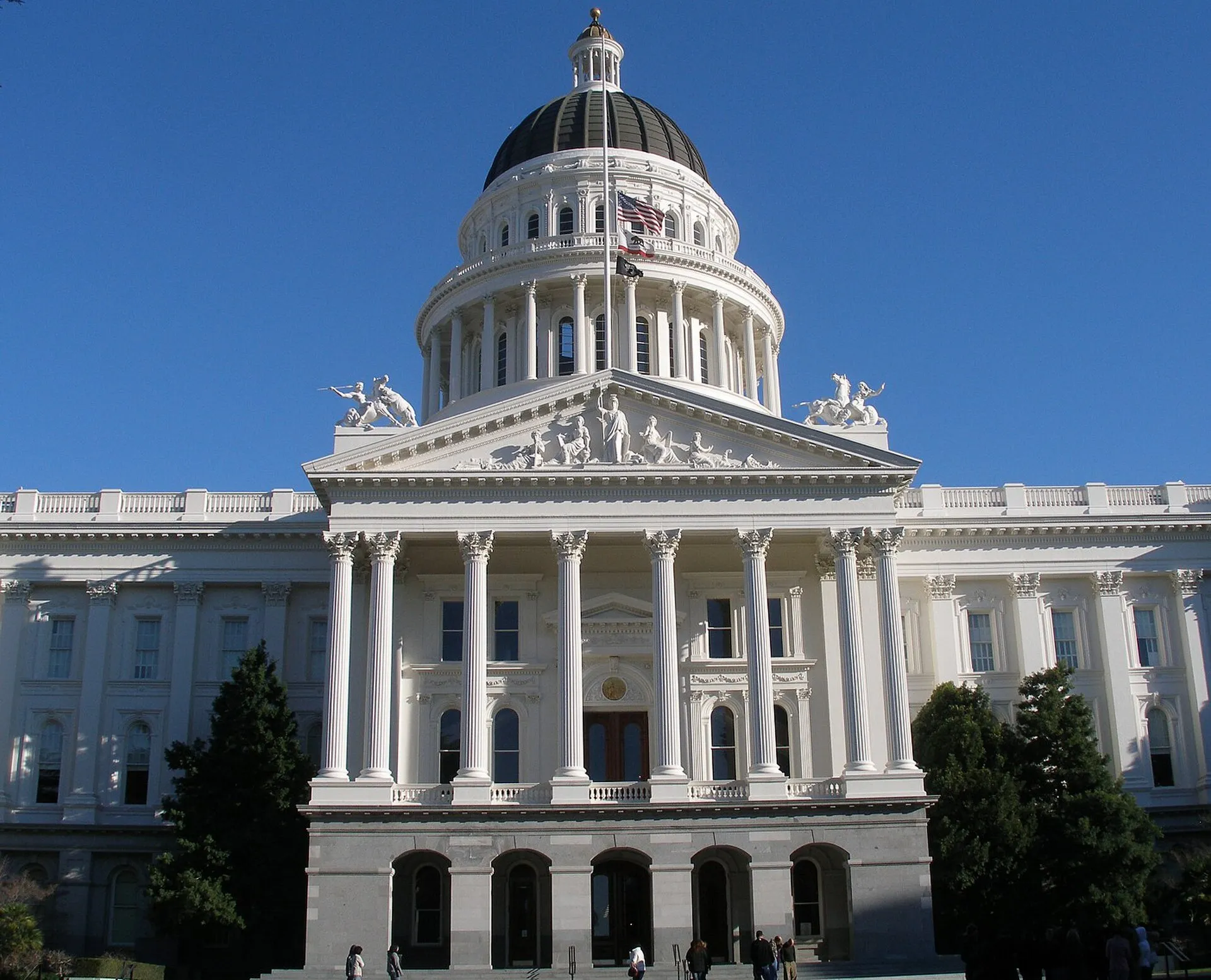 California State Capitol MuseumThe California State Capitol Museum interprets the historic Capitol in Sacramento while the building continues to serve state government.
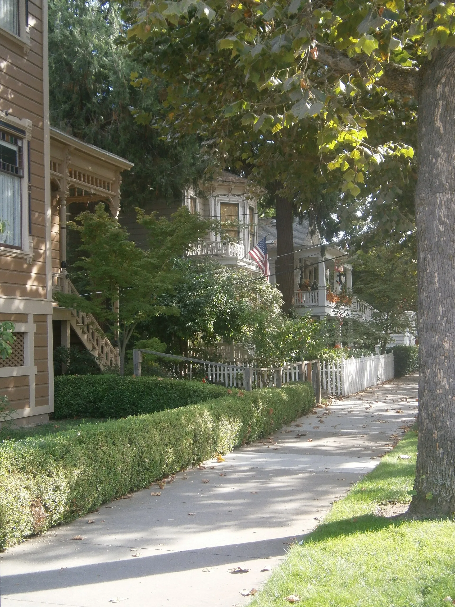 Alkali Flat Central Historic DistrictAlkali Flat Central Historic District preserves a residential part of early Sacramento around E and F streets.
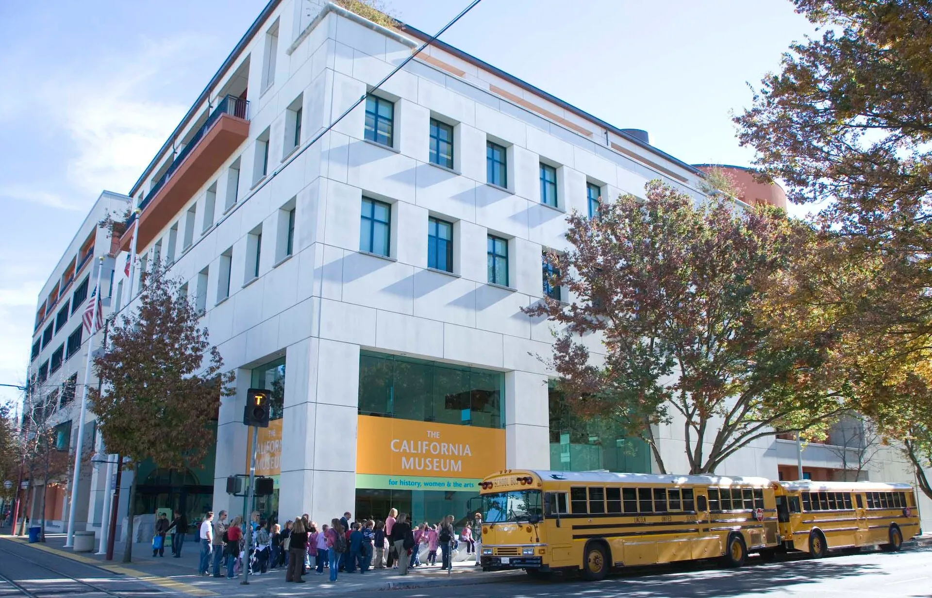 California MuseumThe California Museum in Sacramento explores the state's history, people, and cultural identity through exhibitions and personal stories.