


Public high school · Santa Monica
Santa Monica High
See which neighborhoods are closest to Santa Monica High and what living in each one is like.
- Grades9–12
- TypePublic
- Students2,5882024–25 school year
- DistrictSanta Monica-Malibu Unified
Neighborhoods and districts near Santa Monica High
The closest neighborhoods and districts within 5 miles, measured from the school to the middle of each one.
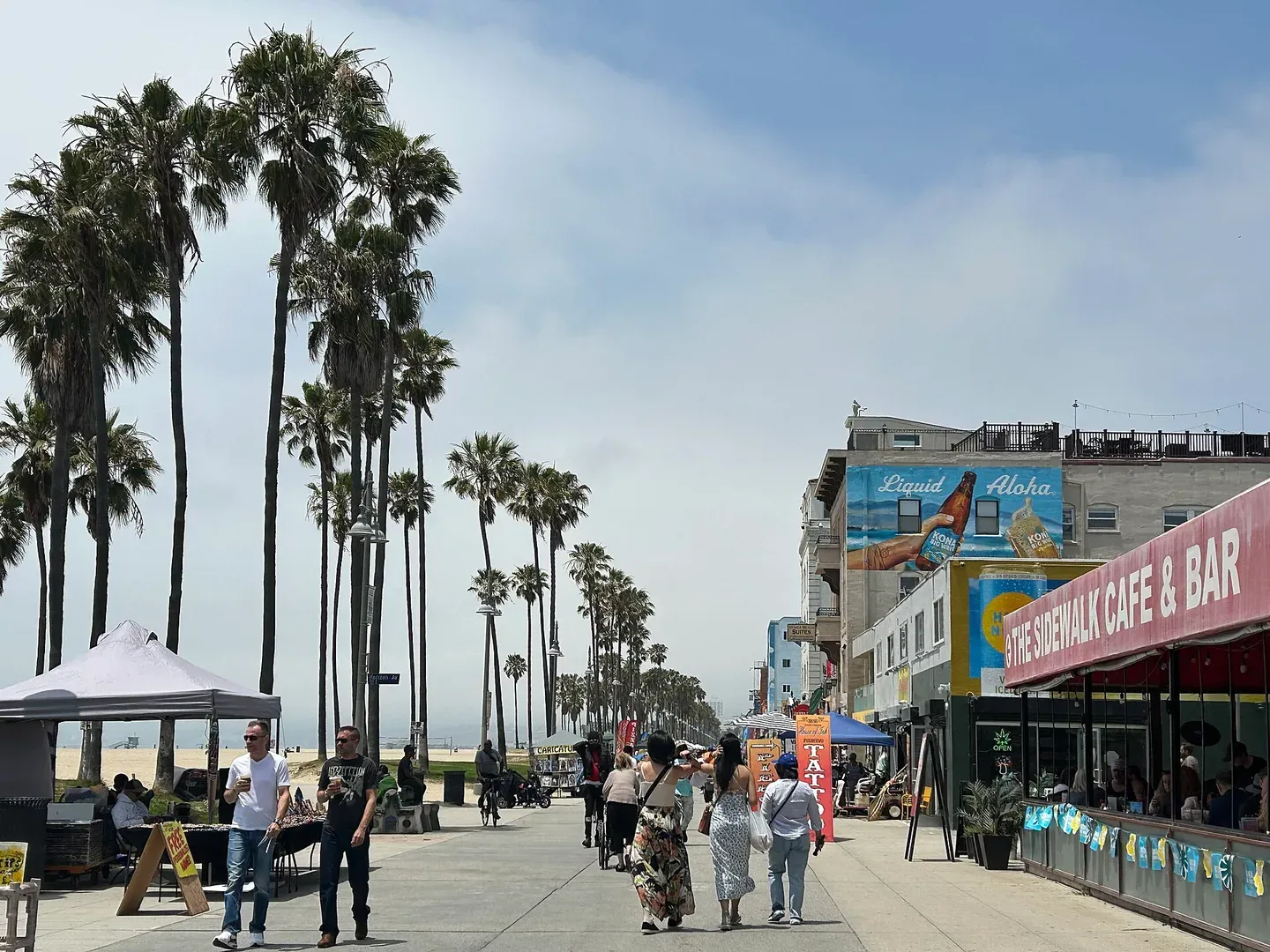 2.2 miVeniceVenice's residential streets share the wider coastal setting with the beach, canals and Ocean Front Walk.
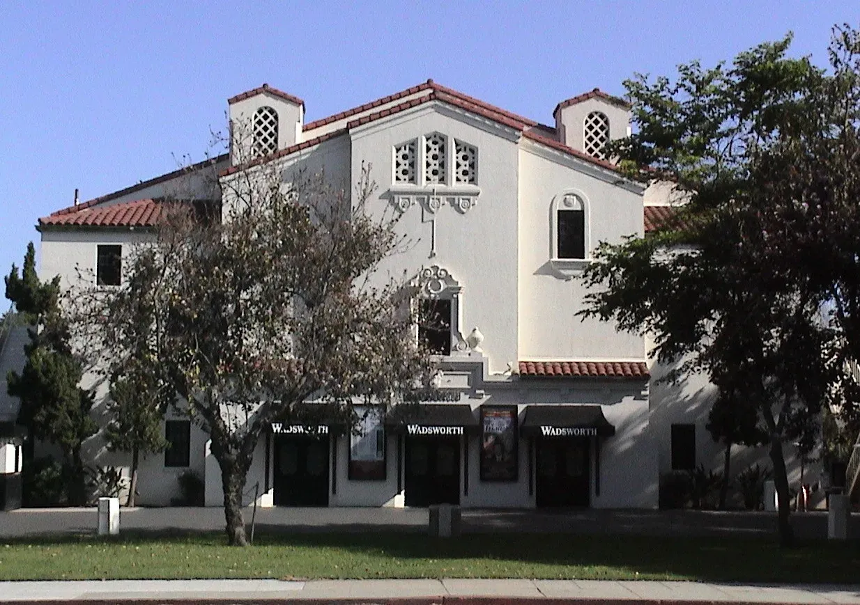 2.7 miSawtelleSawtelle Boulevard's commercial corridor gives this Westside neighborhood a recognizable shopping and dining destination amid surrounding residential streets.
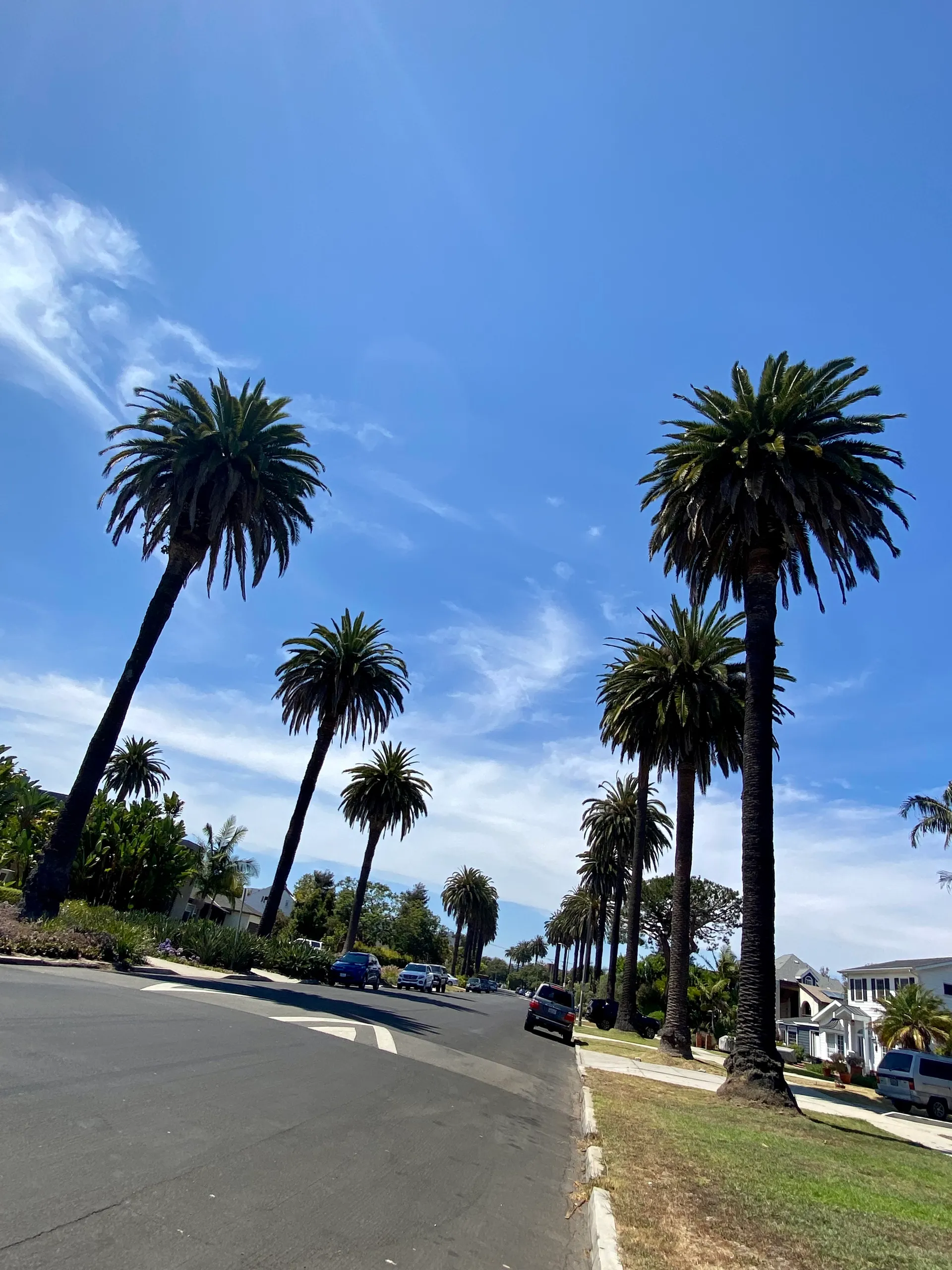 2.7 miMar VistaVenice Boulevard anchors a useful service corridor through Mar Vista, within the Westside's wider Palms–Mar Vista–Del Rey planning area.
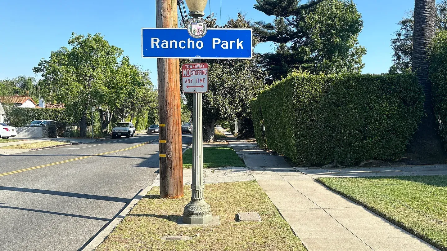 3.8 miRancho ParkRancho Park is a Westside neighborhood near a substantial recreation and golf setting.
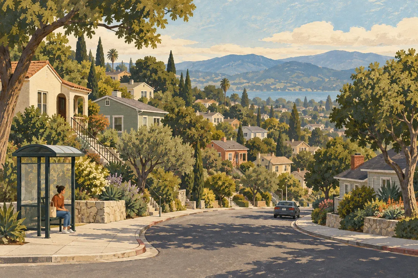 4.0 miWest Los AngelesWest Los Angeles’s Santa Monica Boulevard corridor has Metro Line 4, Big Blue Bus Route 1 and the regional library.
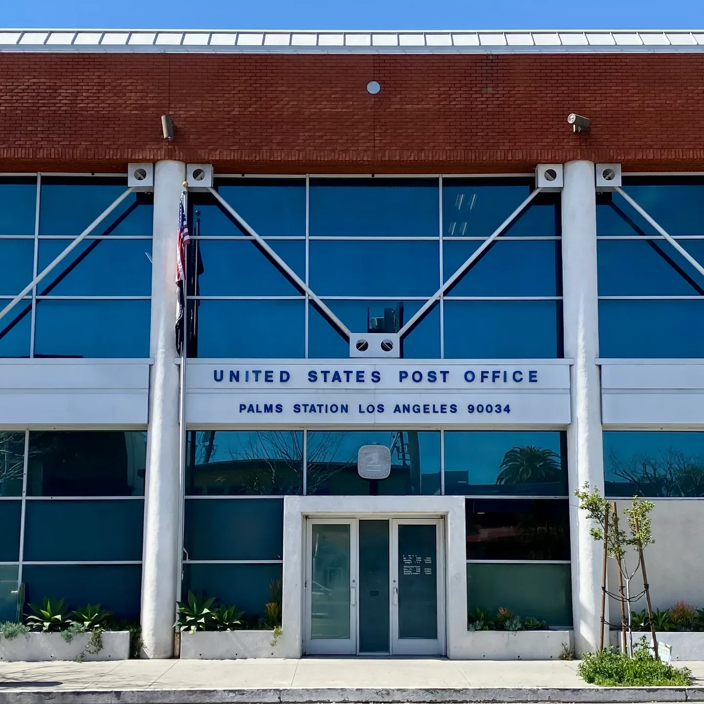 4.3 miPalmsPalms is a Westside neighborhood beside the separate City of Culver City.