


ZIP code
ZIP 18052
Part of Cementon, PA.
Loading map…
Cities in ZIP 18052
Nearby places
Places near ZIP 18052
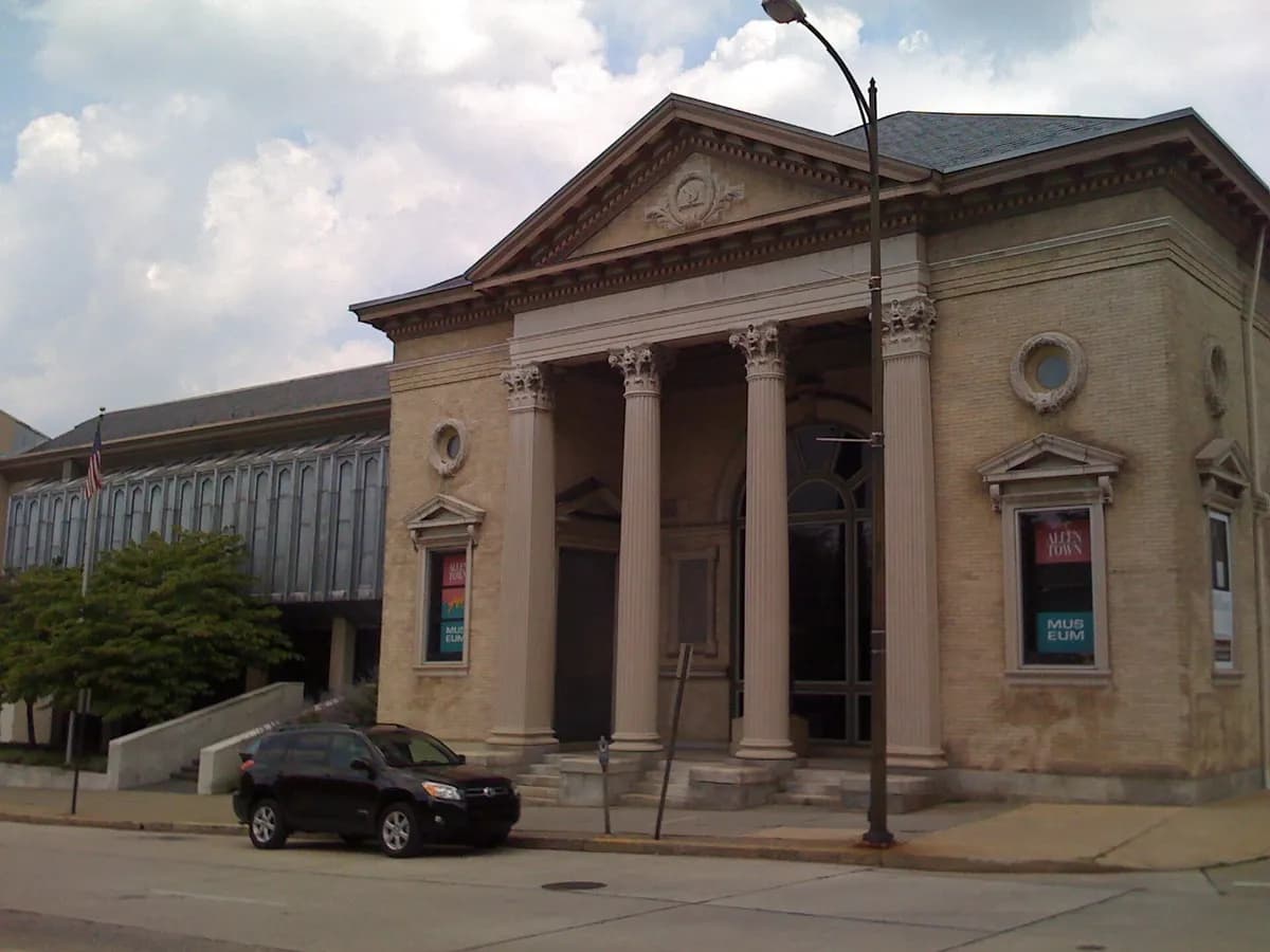 Allentown Art MuseumAllentown Art Museum grew from an initiative led by Pennsylvania artist Walter Emerson Baum and now holds a broad collection of visual art. Its city-centre galleries provide a cultural stop that can be paired with other Lehigh Valley museums and historic streets.
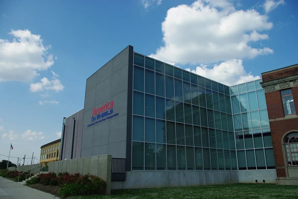 America On Wheels MuseumAllentown's America On Wheels explores road transport through vehicles, changing exhibitions, and related displays. Its focus gives visitors a way to consider how personal travel and commercial movement shaped everyday life, beyond simply looking at a collection of cars.
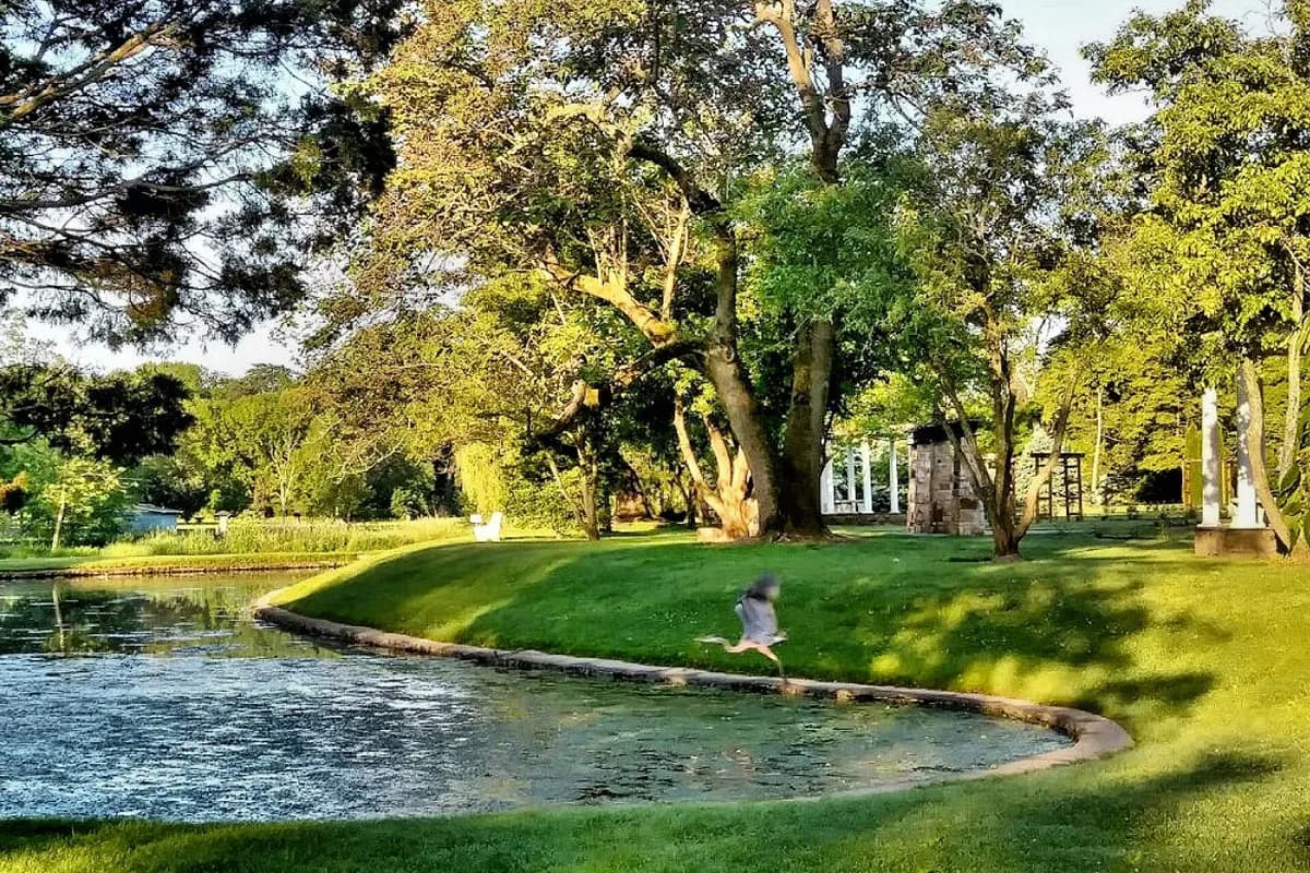 Malcolm Gross Rose GardenAllentown's Malcolm Gross Rose Garden offers a focused landscaped setting for a gentle outdoor visit. Seasonal roses and the arrangement of planted areas make it a place to slow down, distinct from a longer creek-side walk through Lehigh Parkway.
Nearby ZIP codes
Sources & data notesReferences, reporting periods, and how to use this information
Information on this page is compiled from multiple sources and provided for general information. It may be incomplete or out of date, and we do not guarantee its accuracy, completeness, or timeliness. Independently verify important details with the original source, relevant authority, or a qualified professional before making decisions.
Statistics keep their reporting periods. Survey estimates are not current asking prices or quotes for an individual property. Displayed values are rounded.
- ZIP boundariesU.S. Census Bureau ZCTAsCensus ZIP Code Tabulation Areas approximate postal delivery areas and may cross city and neighborhood boundaries. Neighborhood footprints are approximate.