


ZIP code
ZIP 55105
Part of St. Paul, MN.
Loading map…
Nearby places
Places near ZIP 55105
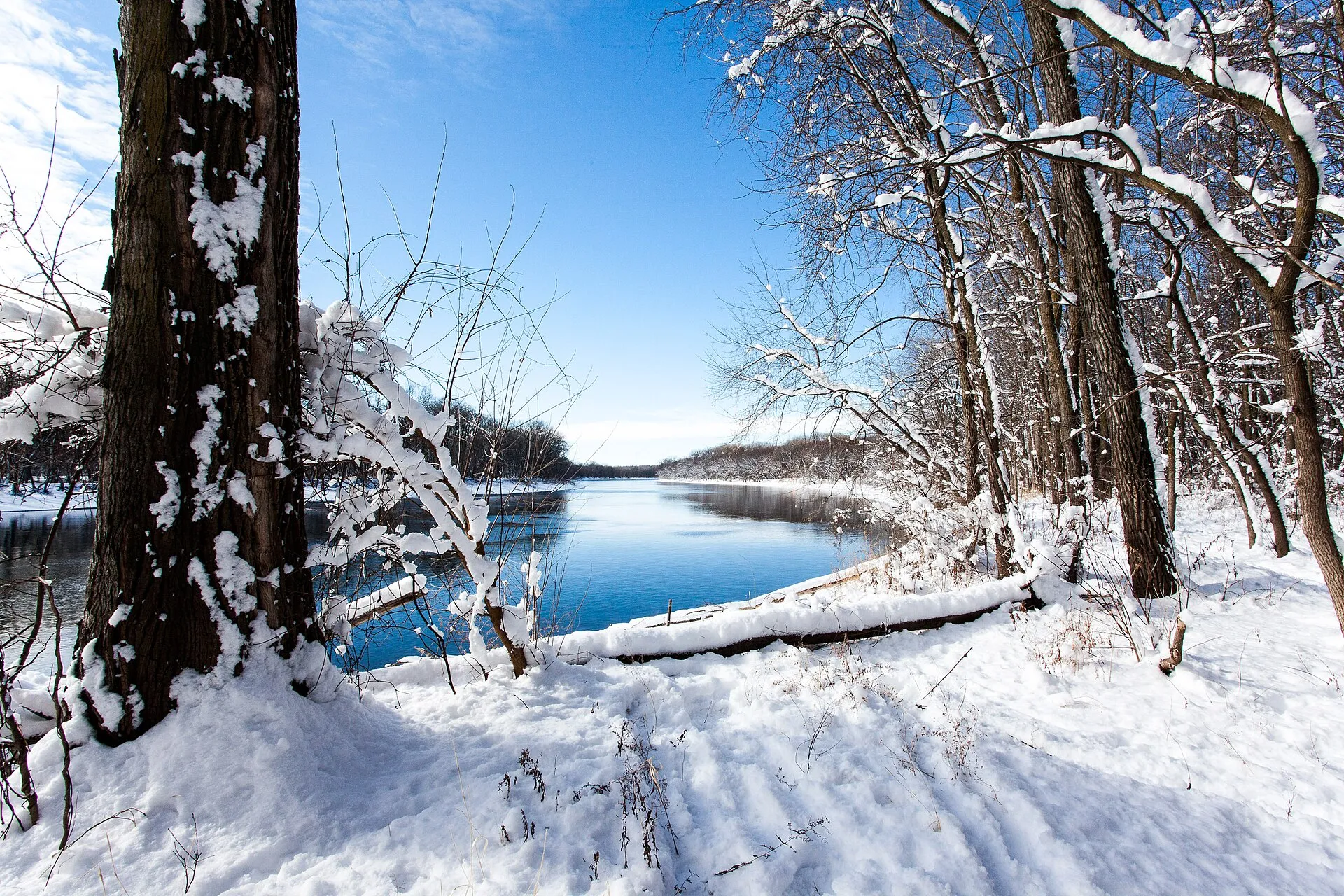 Crosby Farm Regional ParkCrosby Farm Regional Park protects woodland, marsh and riverfront landscapes in Saint Paul.
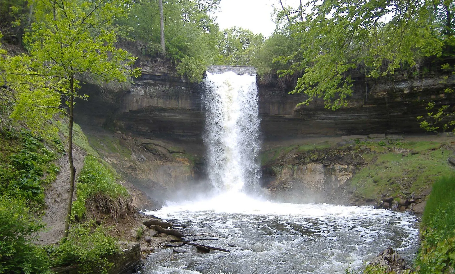 Minnehaha Regional ParkMinnehaha Regional Park combines one of Minneapolis's best-known waterfalls with paths, gardens, and a wider park landscape.
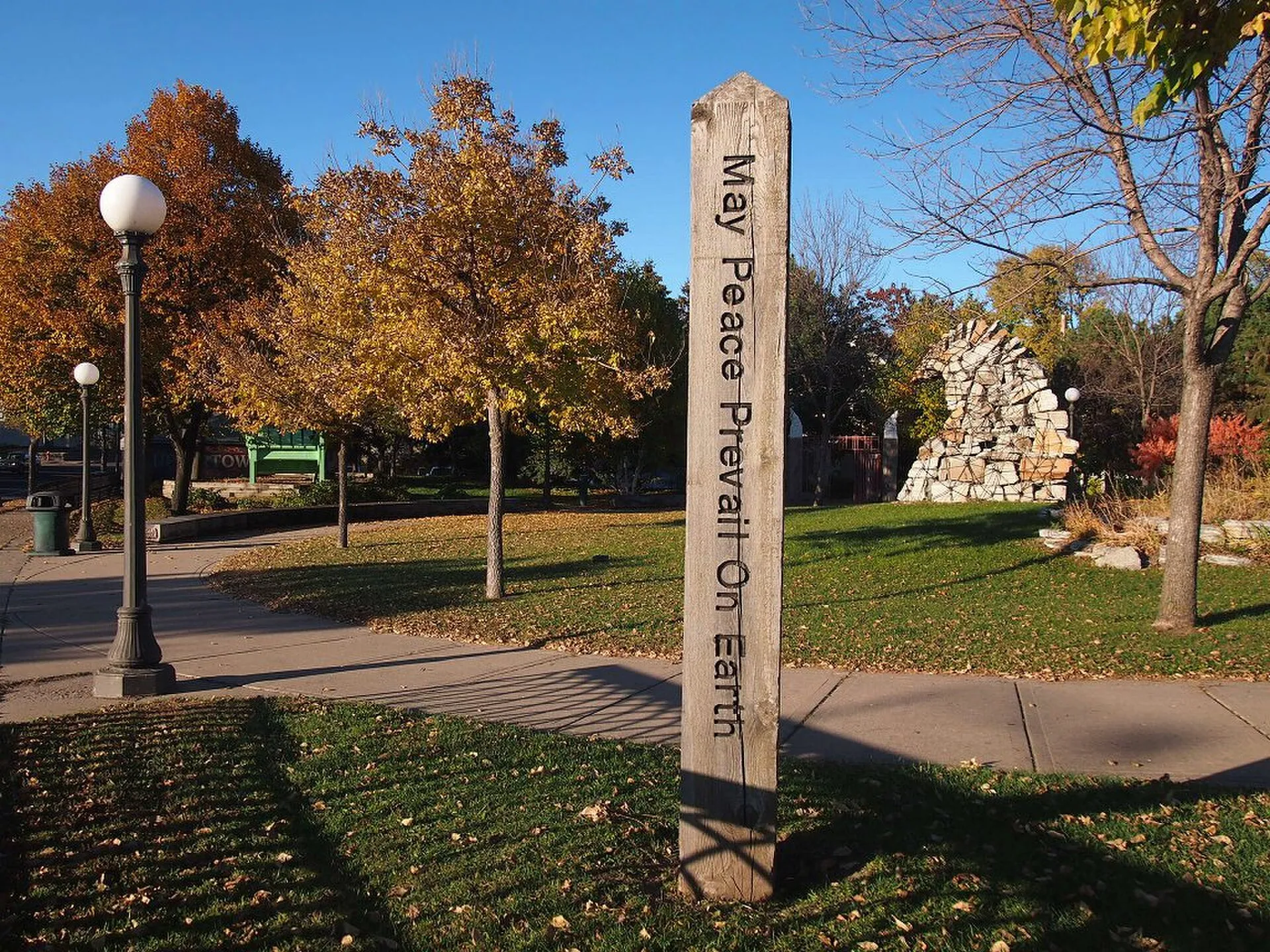 North High Bridge ParkNorth High Bridge Park marks the lower northern end of Saint Paul’s Smith Avenue High Bridge.
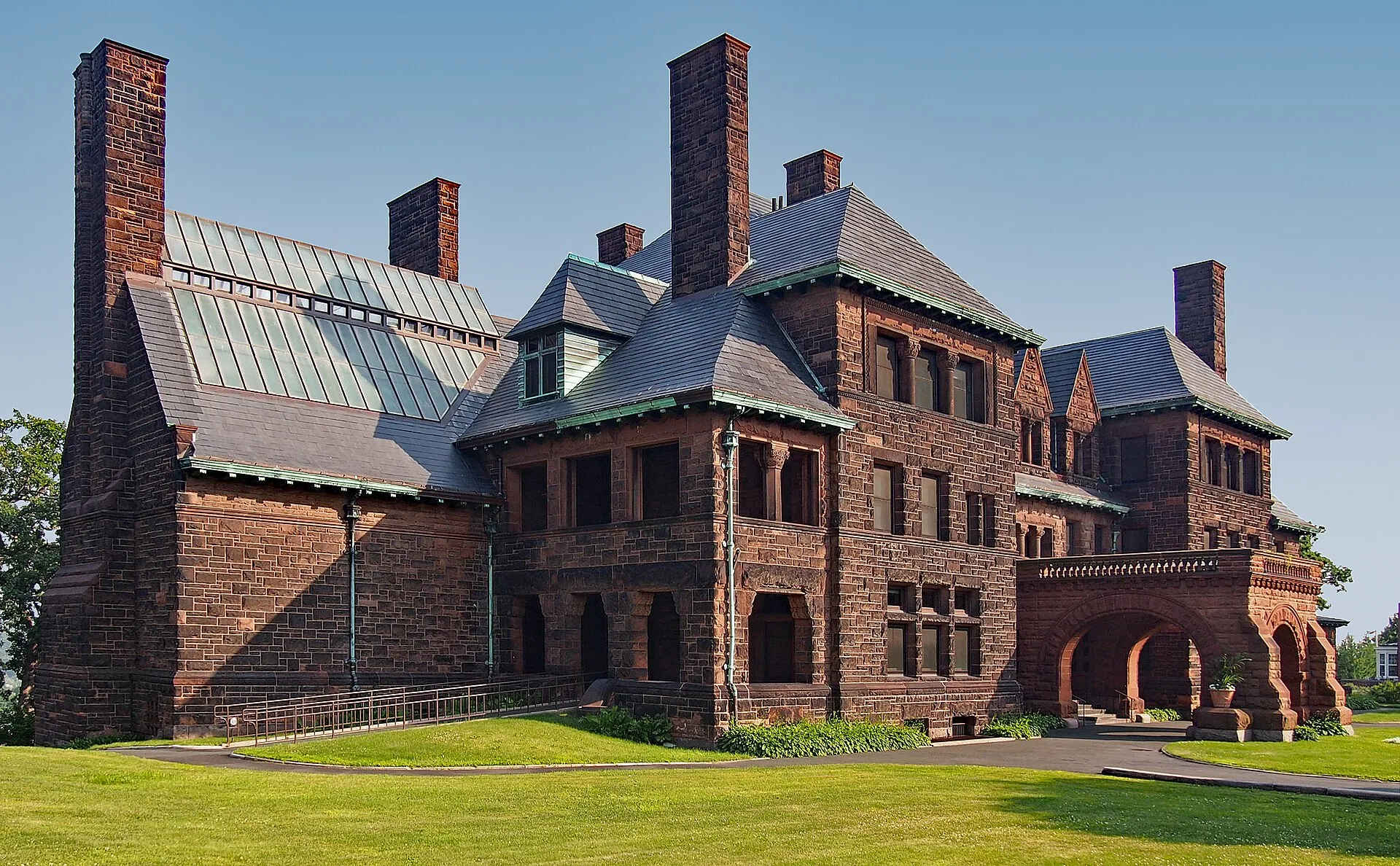 James J. Hill HouseRailroad magnate James J. Hill's large Saint Paul mansion survives as a museum home on Summit Avenue. The building offers an encounter with domestic architecture and the wealth and labour behind a prominent late-nineteenth-century household.
 Cathedral of Saint PaulThe Cathedral of Saint Paul crowns Cathedral Hill with a large copper-clad dome. Opened in 1915, the present building is a defining Saint Paul landmark and an active Catholic cathedral, with architectural detail rewarding a closer look.
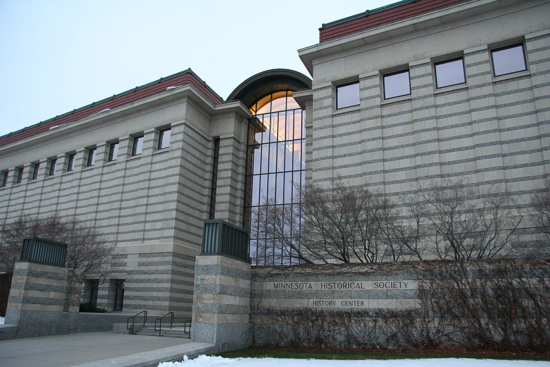 Minnesota History CenterThe Minnesota History Center brings state history exhibitions and the Minnesota Historical Society's research role together near downtown Saint Paul. It offers visitors a place to connect individual stories with the broader development of Minnesota.
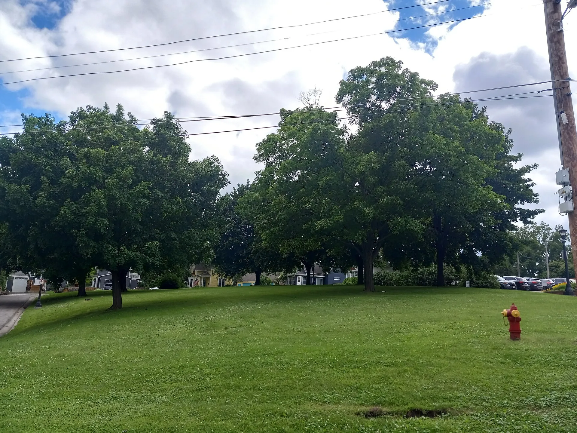 Alice Park, Saint PaulAlice Park provides a small shaded green space on Saint Paul’s West Side.
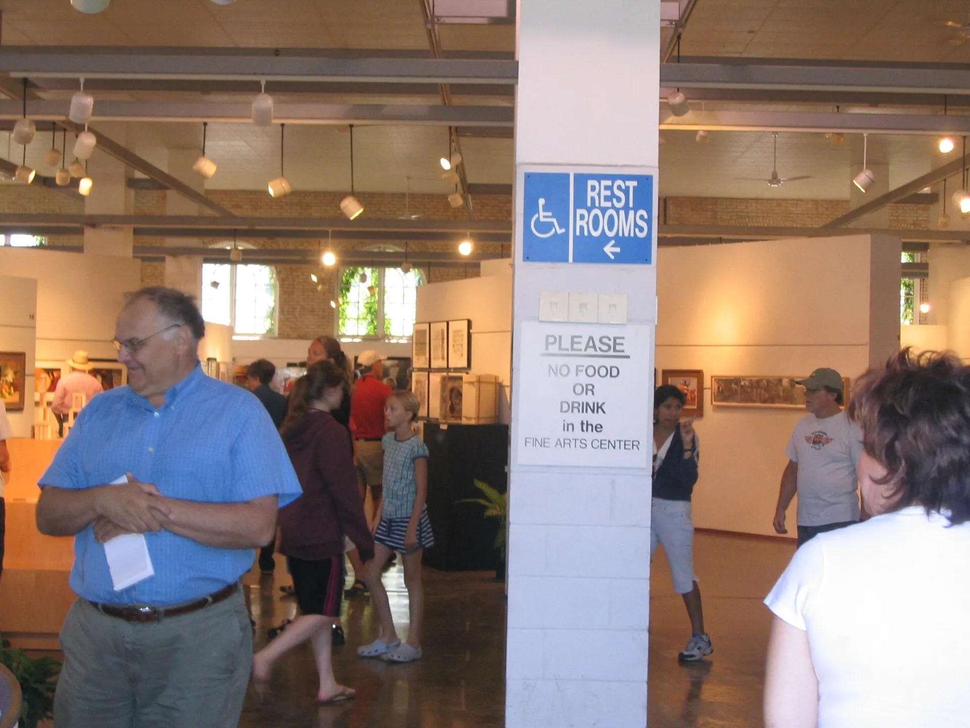 Minnesota State FairgroundsMinnesota State Fairgrounds in Falcon Heights host the annual State Fair and other announced events throughout the year.
Nearby ZIP codes
Sources & data notesReferences, reporting periods, and how to use this information
Information on this page is compiled from multiple sources and provided for general information. It may be incomplete or out of date, and we do not guarantee its accuracy, completeness, or timeliness. Independently verify important details with the original source, relevant authority, or a qualified professional before making decisions.
Statistics keep their reporting periods. Survey estimates are not current asking prices or quotes for an individual property. Displayed values are rounded.
- ZIP boundariesU.S. Census Bureau ZCTAsCensus ZIP Code Tabulation Areas approximate postal delivery areas and may cross city and neighborhood boundaries. Neighborhood footprints are approximate.