


ZIP code
ZIP 67209
Part of Delano Township, KS.
Loading map…
Cities in ZIP 67209
Nearby places
Places near ZIP 67209
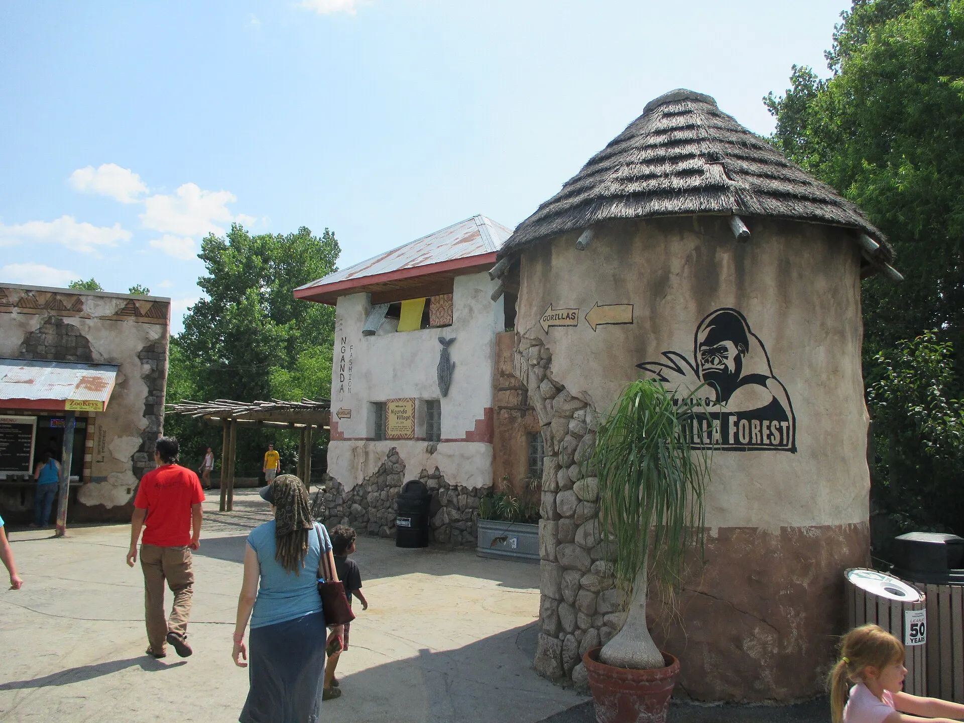 Sedgwick County ZooSedgwick County Zoo offers a broad outdoor wildlife experience in Wichita.
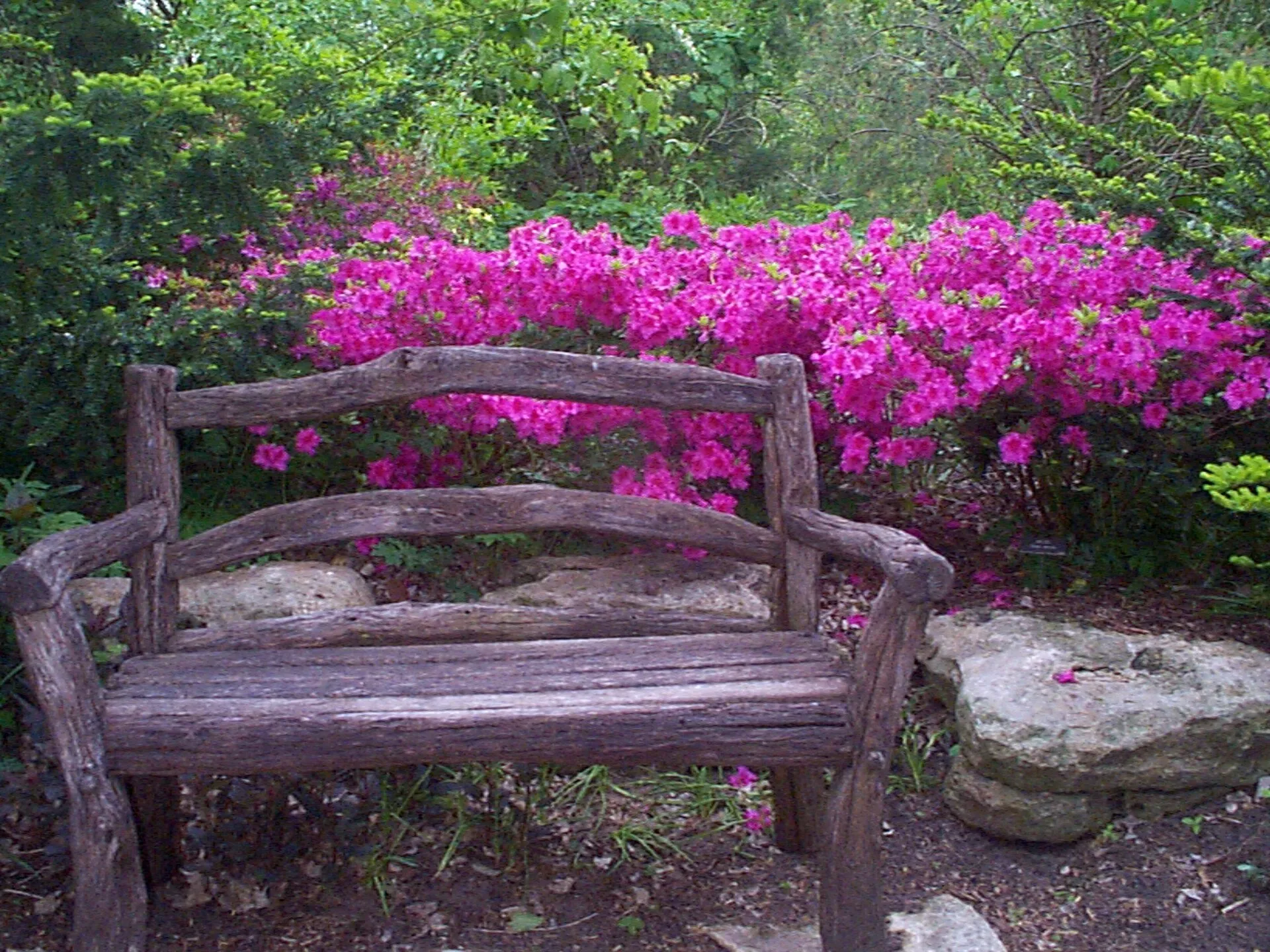 Botanica WichitaBotanica offers a sequence of planted gardens beside Wichita's museum district, with themed spaces that let visitors compare flowers, trees, and garden design at a slower pace.
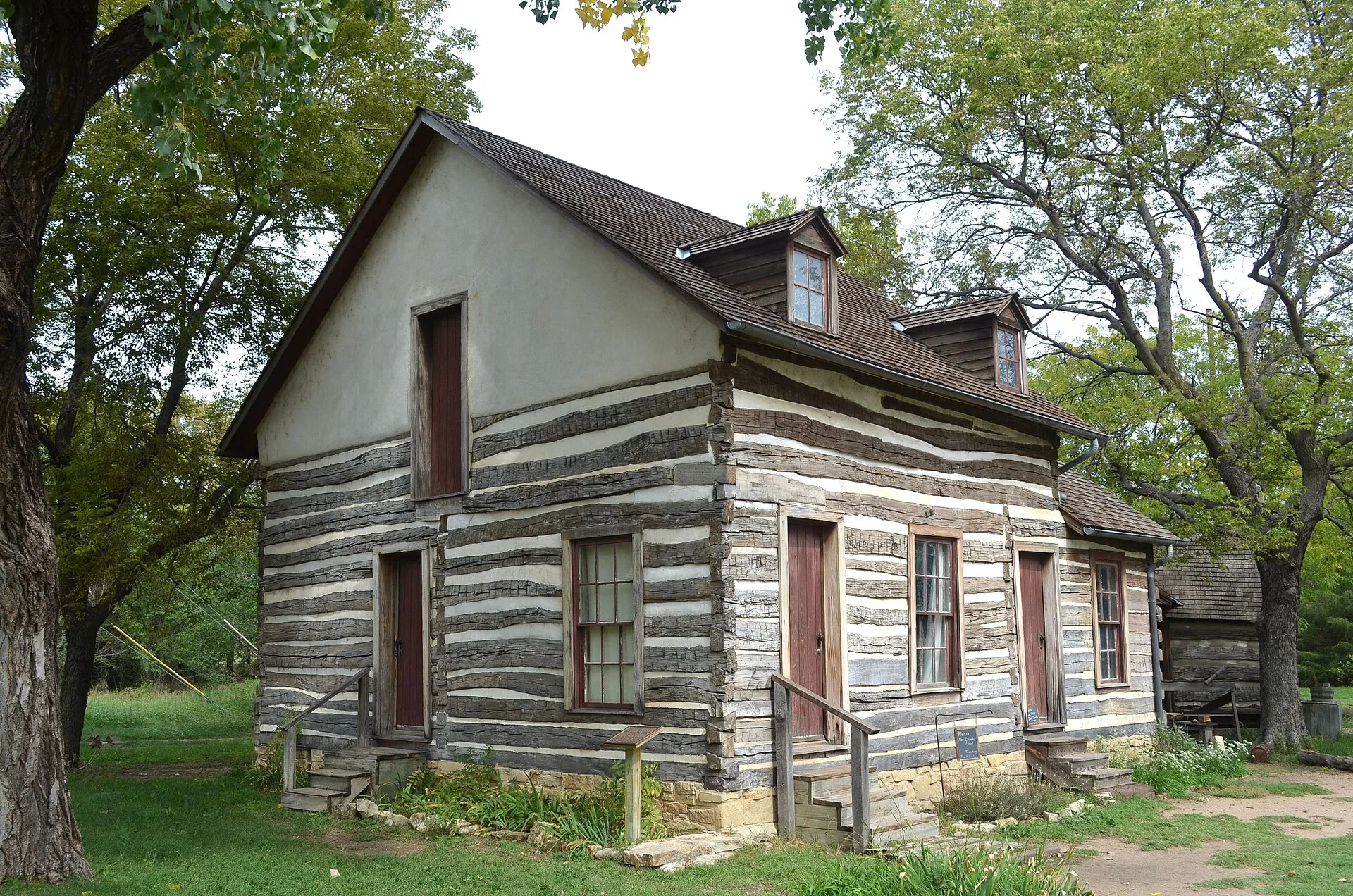 Old Cowtown MuseumOld Cowtown Museum uses historic and reconstructed buildings to explore nineteenth-century life in Wichita and the surrounding region.
 Wichita Art MuseumThe Wichita Art Museum focuses on American art, with collection displays and changing exhibitions in the city's riverfront museum district.
Nearby ZIP codes
Sources & data notesReferences, reporting periods, and how to use this information
Information on this page is compiled from multiple sources and provided for general information. It may be incomplete or out of date, and we do not guarantee its accuracy, completeness, or timeliness. Independently verify important details with the original source, relevant authority, or a qualified professional before making decisions.
Statistics keep their reporting periods. Survey estimates are not current asking prices or quotes for an individual property. Displayed values are rounded.
- ZIP boundariesU.S. Census Bureau ZCTAsCensus ZIP Code Tabulation Areas approximate postal delivery areas and may cross city and neighborhood boundaries. Neighborhood footprints are approximate.