


ZIP code
ZIP 76908
Part of San Angelo, TX.
Loading map…
Nearby places
Places near ZIP 76908
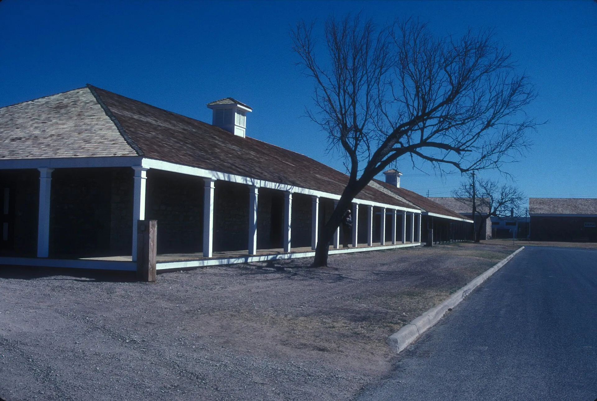 Fort Concho National Historic LandmarkFort Concho preserves a former United States Army post in San Angelo, with historic buildings arranged around a broad parade ground.
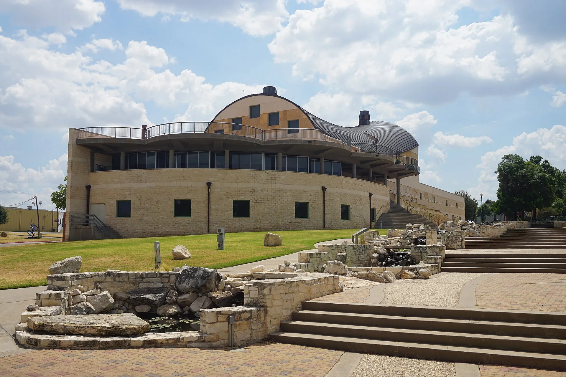 San Angelo Museum of Fine ArtsSan Angelo Museum of Fine Arts occupies a distinctive building near the Concho River and Fort Concho.
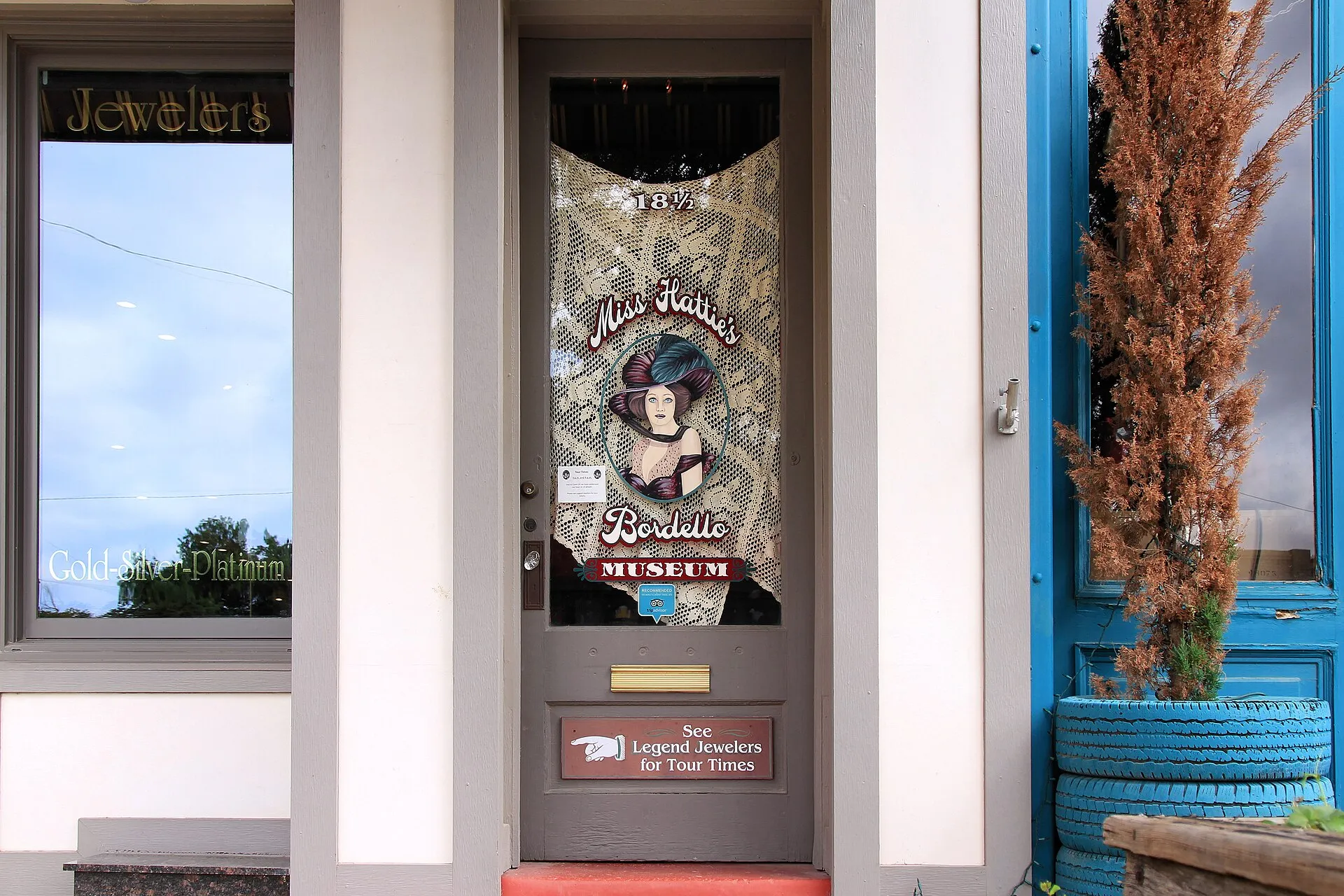 Miss Hattie's Bordello MuseumMiss Hattie’s Bordello Museum interprets a former brothel on East Concho Avenue in downtown San Angelo.
Nearby ZIP codes
Sources & data notesReferences, reporting periods, and how to use this information
Information on this page is compiled from multiple sources and provided for general information. It may be incomplete or out of date, and we do not guarantee its accuracy, completeness, or timeliness. Independently verify important details with the original source, relevant authority, or a qualified professional before making decisions.
Statistics keep their reporting periods. Survey estimates are not current asking prices or quotes for an individual property. Displayed values are rounded.
- ZIP boundariesU.S. Census Bureau ZCTAsCensus ZIP Code Tabulation Areas approximate postal delivery areas and may cross city and neighborhood boundaries. Neighborhood footprints are approximate.