


Neighborhood in Albuquerque · Bernalillo County
South Los Altos
South Los Altos is an established East Gateway residential area between Wyoming and Eubank boulevards, Central Avenue and Copper Avenue.
Photo 1 of 1

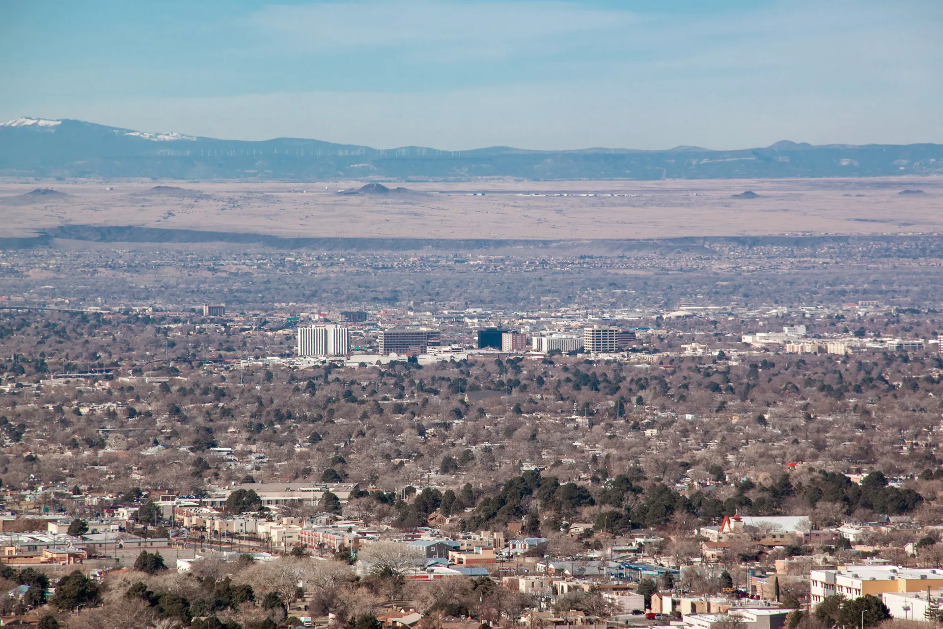
Albuquerque at dusk — regional city context. Published March 2018.
Albuquerque at dusk — regional city context. Published March 2018.
Creator: Andreas Rasmussen
License: Unsplash License
Andreas Rasmussen
Changes: Resized and converted to WebP. Published date refers to Unsplash publication, not asserted capture date.
South Los Altos homes, golf and East Gateway connections
Around the area
Around this neighborhood

About South Los Altos
South Los Altos is an established East Gateway residential area between Wyoming and Eubank boulevards, Central Avenue and Copper Avenue. It is distinct from the Westside Los Altos association and from the separate Los Altos recreation complex.
StrollPlace walkability
68/ 100
The middle 80% of residents in the estimate lived on blocks that scored 58–79.
Estimated access on foot to everyday destinations.
About this estimate
Destinations include groceries, pharmacies, parks, transit stops, cafés, restaurants, shops and schools. The range covers the middle 80% of residents in the estimate.
We estimate the walking distance from each populated Census block’s reference point to the nearest mapped place in each category. A walk of five minutes or less earns full credit. Credit falls to zero at 20 minutes. Groceries count for the most. The area score weights each sampled block by its Census population.
We could route from 56 blocks representing 100% of the area’s reference population. The model estimates route distance and uses a fixed walking speed. Sidewalk condition, shade, and crossing comfort are outside this version’s scope.
Living in South Los Altos
Los Altos is an established area of eastern Albuquerque, known for its midcentury residential streets, nearby shopping, public golf course, and access to recreation facilities.
The residential neighborhood is generally identified as South Los Altos, located between Wyoming Boulevard, Eubank Boulevard, Central Avenue, and Copper Avenue. Los Altos Golf Course borders the neighborhood to the north, while the larger Los Altos Park recreation complex is located across Interstate 40.
For prospective residents, the main considerations are the condition of older homes, access to everyday services, school assignments, public transportation, and the differences between individual streets.
Neighborhood Character and Housing
South Los Altos developed primarily during Albuquerque's mid-20th-century expansion. Much of its housing dates to the 1950s and 1960s.
The neighborhood consists largely of detached single-family homes, including traditional ranch-style houses and Southwestern-inspired properties with stucco or brick exteriors.
Common features include single-story layouts, driveways or carports, fenced yards, and a mix of desert landscaping and mature trees. Some homes have been extensively remodeled, while others retain original features.
The neighborhood's residential streets offer a different setting from the busy commercial corridors along Central Avenue and Eubank Boulevard.
Because many properties are several decades old, buyers should carefully evaluate:
Roof condition, drainage, and insulation.
Plumbing, sewer lines, and electrical systems.
Heating and cooling equipment.
Windows and energy efficiency.
Permits for additions and previous renovations.
Homes built before 1978 may also require lead-based paint disclosures and appropriate precautions during remodeling.
The South Los Altos Neighborhood Association represents community interests but is not a mandatory homeowners association. Buyers should still verify any property-specific covenants or restrictions.
Schools and Education
Los Altos is served by Albuquerque Public Schools (APS). Schools commonly associated with South Los Altos addresses include:
Hawthorne Elementary School — 420 General Somervell Street NE, serving grades PreK–5.
Hayes Dual Language Magnet Middle School — 1100 Texas Street NE, serving grades 6–8.
Highland High School — 4700 Coal Avenue SE, serving grades 9–12.
Hawthorne Elementary is located within the residential neighborhood, which may be convenient for families living nearby.
Hayes Middle School offers STEM-focused education and an English-Spanish dual-language program, although enrollment in specific programs may involve additional requirements.
School attendance boundaries can change and should never be assumed based solely on a neighborhood name.
Families should use the APS School Boundary Maps to confirm assignments for their exact address.
School transportation, safe crossings, before- and after-school programs, and extracurricular activities are also worth checking.
Grocery Stores, Shopping, and Daily Services
Los Altos benefits from proximity to established retail corridors, particularly along Eubank Boulevard and Central Avenue.
Nearby shopping options include:
Walmart Supercenter — 400 Eubank Boulevard NE. Offers groceries, household products, pharmacy services, and other everyday essentials.
Sam's Club — 300 Eubank Boulevard NE. Provides bulk groceries, household merchandise, pharmacy services, and additional member benefits. A membership is generally required for warehouse shopping.
The Eubank Boulevard commercial area also contains restaurants, retail stores, auto services, and other businesses.
Central Avenue offers additional dining options, small businesses, and convenient access to other parts of Albuquerque.
For residents who drive, major shopping destinations are accessible without traveling across the city. However, those depending on walking should examine actual pedestrian routes, particularly around busy intersections.
Parks, Golf, and Outdoor Recreation
Access to recreational facilities is one of the area's distinctive features.
Los Altos Golf Course, at 9717 Copper Avenue NE, is a public municipal golf facility. It offers an 18-hole course and a shorter executive course, along with practice facilities.
The golf course provides nearby recreation for golfers, but its fairways are not general-purpose public parkland.
Los Altos Park, at 821 Eubank Boulevard NE, is located north of Interstate 40 and offers a wider variety of activities.
Following extensive improvements, the park includes:
Softball fields and sports facilities.
A BMX pump track.
A designated dog park.
Walking paths and landscaped recreational areas.
Connections between sports and community facilities.
The park also includes Los Altos Skate Park, with concrete skating features suitable for skateboards, BMX bikes, and inline skating.
Although the park and golf course are close geographically, Interstate 40 separates them. A pedestrian bridge provides a connection, but residents should check the actual route from their home rather than assuming a direct neighborhood entrance.
Children's Activities, Swimming, and Fitness
Los Altos Pool, at 10100 Lomas Boulevard NE, is a municipal indoor swimming facility with a 25-meter pool.
It provides a year-round aquatic option, with public swimming and other scheduled activities depending on current programming.
Children must follow the city's age-based supervision requirements.
The adjacent skate park and BMX facilities provide additional recreation options for older children and teenagers.
For organized youth activities and fitness, families can also explore Manzano Mesa Multigenerational Center, at 501 Elizabeth Street SE.
The center offers recreational programming, fitness facilities, and activities for different age groups. Membership requirements, fees, class availability, and transportation should be confirmed directly.
The International District Library, at 7601 Central Avenue NE, is another resource for books, computers, educational activities, and library programs, though it is located farther west along Central Avenue.
These facilities expand the area's recreational options, but some require driving, public transportation, or crossing major roads.
Transportation and Commuting
Los Altos provides relatively convenient access to several major roads.
Eubank Boulevard connects north and south, Central Avenue runs east and west, and nearby Interstate 40 supports travel across Albuquerque.
For drivers, this road network offers access to employment areas, shopping districts, and regional destinations.
Public transportation is available along surrounding corridors through ABQ RIDE, including:
Route 2 — Eubank, providing north-south service.
Route 31 — Wyoming, another north-south connection.
Route 66 — Central Avenue, serving the Central corridor.
ART Route 777, providing rapid transit service along Central Avenue.
ABQ RIDE currently offers zero-fare service, but route changes, operating hours, and frequency should be checked through ABQ RIDE Routes and Schedules.
Some homes have easier access to bus stops than others. Residents commuting by transit should check walking distances, transfers, and weekend schedules.
For pedestrians and cyclists, major intersections and Interstate 40 can create barriers between destinations that appear close on a map.
Healthcare and Medical Access
Los Altos residents can access primary care clinics, pharmacies, and hospitals throughout eastern Albuquerque.
Presbyterian Kaseman Hospital, at 8300 Constitution Avenue NE, is one hospital option in the broader area.
The hospital campus provides emergency care, diagnostic services, surgical care, and various medical specialties.
Additional primary care providers, urgent care centers, dental offices, and pharmacies serve neighborhoods along Central Avenue, Eubank Boulevard, and surrounding roads.
Before moving, residents should check whether their preferred healthcare providers accept their insurance, are accepting new patients, and can be reached conveniently from the property.
Families with children or residents requiring regular medical care should also evaluate transportation and appointment availability.
Safety and Environmental Considerations
Safety conditions should be evaluated at the individual address level rather than through broad claims about the entire neighborhood.
Los Altos combines residential streets with nearby commercial areas, major roads, and recreational facilities. Traffic, noise, lighting, and activity can differ significantly between locations.
The Albuquerque Police Department Crime Mapping service provides access to local police calls-for-service information.
These records should not be interpreted as a complete list of confirmed crimes or as a definitive measure of personal safety.
Potential residents should visit properties during the day and evening to assess parking, street lighting, pedestrian conditions, and noise.
Environmental and property-related considerations include:
Traffic noise near Interstate 40 and major commercial roads.
Aging infrastructure in older homes.
Localized drainage issues during intense summer storms.
Summer cooling requirements and insulation quality.
Property-specific flood exposure and maintenance needs.
Buyers should review official flood maps, city zoning information, property disclosures, and inspection reports.
Advantages and Things to Consider
Potential advantages
Established single-family residential streets.
Proximity to grocery stores and major retail services.
Access to a public golf course and renovated recreation complex.
Multiple public transportation connections.
Nearby schools and community resources.
Convenient access to Interstate 40 and major city roads.
Possible limitations
Older homes may need substantial maintenance.
Interstate 40 separates some nearby recreational facilities from the residential area.
Busy roads can affect noise levels and pedestrian convenience.
School assignments and transportation eligibility require address-specific verification.
Some recreational programs and healthcare facilities require travel outside the neighborhood.
Property conditions can vary considerably between individual homes.
What to Check Before Choosing a Home
Before buying or renting in Los Altos, consider the following:
School assignments: Verify the residential address through APS and check school transportation options.
Property condition: Inspect roofing, plumbing, electrical systems, sewer lines, drainage, and heating and cooling equipment.
Daily convenience: Test routes to grocery stores, work, parks, and medical appointments.
Transportation: Check bus stop locations, pedestrian crossings, and actual driving times during commuting hours.
Surroundings: Evaluate traffic noise, parking, lighting, and local activity at different times.
Ownership requirements: Review property records, zoning, insurance, applicable restrictions, and any renovation permits.
The City of Albuquerque GIS Maps can help with address-specific research.
Is South Los Altos a Good Place to Live?
Los Altos may be worth considering for residents who prefer established single-family housing, want access to major shopping corridors, and appreciate having public recreational facilities nearby.
Its location may also appeal to households that value public transportation options while retaining convenient road connections.
However, residents seeking newer construction, consistently quiet streets, or a fully walkable neighborhood should examine individual properties carefully.
The neighborhood's housing variety and access to daily services provide practical possibilities, but the best choice depends on home condition, transportation needs, and the immediate surroundings.
A visit to the specific property, combined with school, infrastructure, and property-record checks, is the most reliable way to determine whether South Los Altos fits everyday life.
StrollPlace Neighborhood Note: This guide provides general relocation information and does not guarantee school placement, neighborhood safety, property condition, transportation access, or service availability. School boundaries, business operations, transit routes, recreational programs, and neighborhood conditions may change. Verify details for the specific residential address with official agencies, service providers, and property records before making housing decisions.
Compare surrounding Albuquerque areas
Explore the linked profiles to compare housing settings, public services and everyday travel in surrounding areas. Nearby areas can have overlapping names or different jurisdiction and property rules.
Neighborhoods and districts near South Los Altos
The closest neighborhoods and districts in Albuquerque, measured center to center.
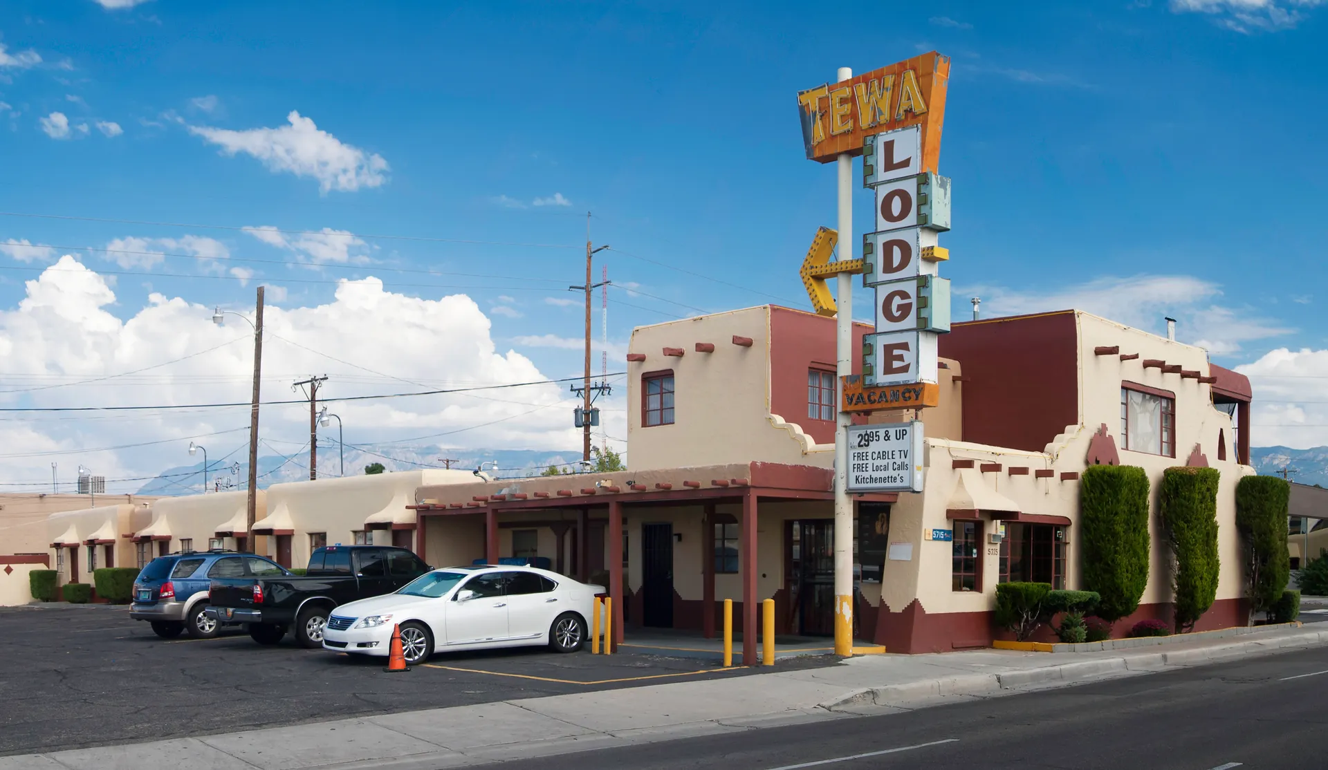
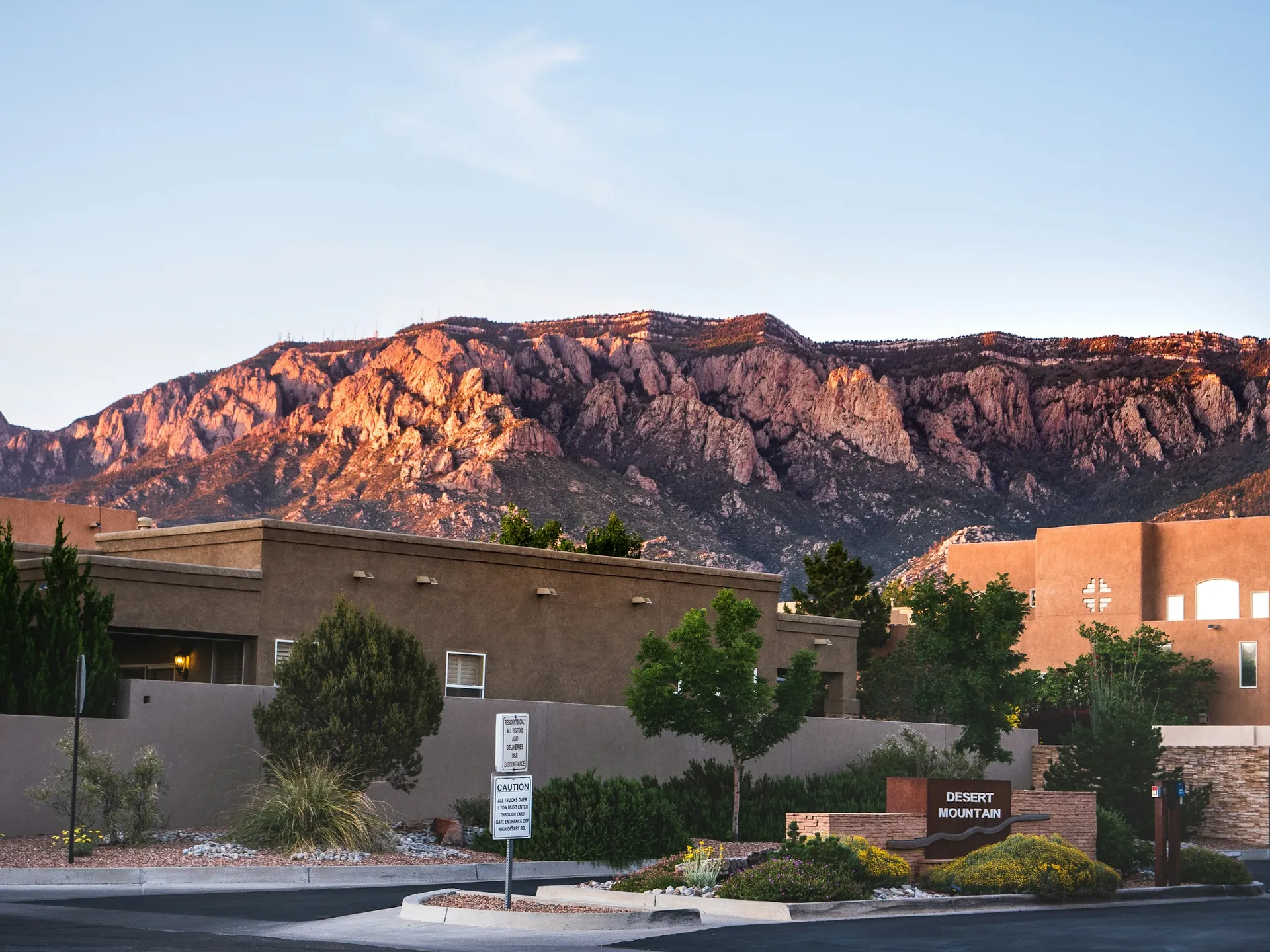


Sources & data notesReferences, reporting periods, and how to use this information
Information on this page is compiled from multiple sources and provided for general information. It may be incomplete or out of date, and we do not guarantee its accuracy, completeness, or timeliness. Independently verify important details with the original source, relevant authority, or a qualified professional before making decisions.
Statistics keep their reporting periods. Survey estimates are not current asking prices or quotes for an individual property. Displayed values are rounded.
- Local relocation research and address-specific verificationCity of Albuquerque — Crime MappingSource checked
- Local relocation research and address-specific verificationCity of Albuquerque — Maps For The PublicSource checked
- Local relocation research and address-specific verificationCity of Albuquerque — Routes And SchedulesSource checked
- Local relocation research and address-specific verificationAlbuquerque Public Schools — Attendance AreasSource checked
- Local relocation research and address-specific verificationCity of Albuquerque — Los Altos PoolSource checked
- Local relocation research and address-specific verificationstorymaps.arcgis.com — 631Fa871Fa604A1B92B20D2Da4909F3BSource checked
- Association context; not a parcel boundary or mandatory HOA determinationCity of Albuquerque — neighborhood associations and mapsSource checked
- Public park addresses and local recreation destinationsCity of Albuquerque — park locationsSource checked
- Branch schedules and current service availabilityPublic Library — locations and service noticesSource checked
- Published school catalog information; verify address-based assignmentHayes Middle — school profileSource checked
- Published school catalog information; verify address-based assignmentHawthorne Elementary — school profileSource checked
- Published school catalog information; verify address-based assignmentHighland High — school profileSource checked
- Provider locations and services; confirm availability and insurance directlyPresbyterian — healthcare facilities and providersSource checked
- Compare nearby areas; neighborhood labels can overlapLa Mesa — area profileSource checked
- Compare nearby areas; neighborhood labels can overlapSinging Arrow — area profileSource checked
- Compare nearby areas; neighborhood labels can overlapEastridge — area profileSource checked
Photo credits
- Representative image. See the caption for the place shown.Albuquerque at dusk — regional city context. Published March 2018.Image credits and license
Albuquerque at dusk — regional city context. Published March 2018.
Creator: Andreas Rasmussen
License: Unsplash License
Andreas Rasmussen
Changes: Resized and converted to WebP. Published date refers to Unsplash publication, not asserted capture date.