


Neighborhood in Charlotte · Mecklenburg County
South End
South End follows Charlotte’s former industrial corridor south of Uptown, where reused mill buildings stand among newer apartments, shops and offices.
Photo 1 of 1
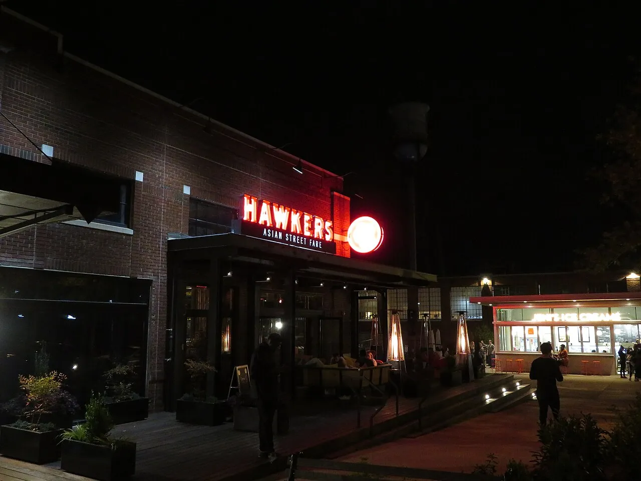
Dining exteriors in South End — April 2019
Dining exteriors in South End — April 2019
Creator: Ken Lund from Reno, Nevada, USA
License: CC BY-SA 2.0
Changes: Resized and converted to WebP; may be cropped for display.
Reused mill buildings, Rail Trail public art and Blue Line stations south of Uptown
About South End
South End follows Charlotte’s former industrial corridor south of Uptown, where reused mill buildings stand among newer apartments, shops and offices. The Rail Trail runs beside the Blue Line and connects public art with dining and retail destinations. Atherton Mill and the Design Center retain parts of the area’s textile history.
Atherton and the Design Center reuse industrial buildings
Atherton Cotton Mill was built in 1892 along the corridor between South Boulevard and the railroad. The broader Atherton complex later included textile-machinery operations, and its reused buildings now sit within a mix of retail and residential development.
The former Nebel Knitting plant at 127 West Worthington Avenue dates to 1923, with later additions. Its buildings became part of the Design Center’s shops and showrooms. Loft conversions at Atherton and the former Lance factory preceded the larger apartment developments that followed light rail.
A public-art walk beside the Blue Line
The Rail Trail follows the light rail tracks through South End as a linear public space for walking and cycling. Its connections lead to Atherton Mill, the Design Center and commercial streets beside the railway.
South End’s trail guide identifies stops including Color Forest, the Camden Wall Mosaic Frieze and the Magic Carpet Murals. Edna’s Porch near Carson Station adds yellow swings, while Fowler Porch near Bland Street Station has a see-saw.
Operating stops and the new station under construction
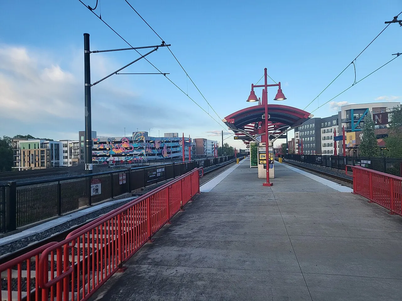
Carson, Bland Street, East/West Boulevard and New Bern are operating Blue Line stops serving different parts of South End. CATS lists Carson on East Carson Boulevard, Bland and East/West on Camden Road, and New Bern on New Bern Street.
As of October 2026, the additional South End Station between Tremont Avenue and Remount Road is under construction. It is a separate project from those operating stops, with work affecting portions of the adjacent Rail Trail.
Check these on a visit
Try these in person before you commit to an address in South End.
- Explore Atherton and the Design Center as separate examples of industrial reuse.
- Use the Rail Trail’s art guide to find the Camden mosaic and porch seating areas.
- Use an operating Blue Line stop; check CATS project notices around Tremont Avenue and Remount Road.
Neighborhoods and districts near South End
The closest neighborhoods and districts in Charlotte, measured center to center.
Sources & data notesReferences, reporting periods, and how to use this information
Information on this page is compiled from multiple sources and provided for general information. It may be incomplete or out of date, and we do not guarantee its accuracy, completeness, or timeliness. Independently verify important details with the original source, relevant authority, or a qualified professional before making decisions.
Statistics keep their reporting periods. Survey estimates are not current asking prices or quotes for an individual property. Displayed values are rounded.
- Atherton, Nebel Knitting, industrial reuse and residential conversionsSouth End Charlotte — District historySource checked
- Trail character, public art, porches and local destinationsSouth End Charlotte — Rail TrailSource checked
- Current operating stations and addressesCharlotte Area Transit System — Blue Line stationsSource checked
- Station under construction between Tremont and Remount; distinct from existing stops
Photo credits
- Dining exteriors in South End — April 2019Image credits and license
Dining exteriors in South End — April 2019
Creator: Ken Lund from Reno, Nevada, USA
License: CC BY-SA 2.0
Changes: Resized and converted to WebP; may be cropped for display.