


Neighborhood in Los Angeles · Los Angeles County
Westwood
Westwood brings together UCLA, Westwood Village, a major medical district and residential streets on the Los Angeles Westside.
Photo 1 of 1
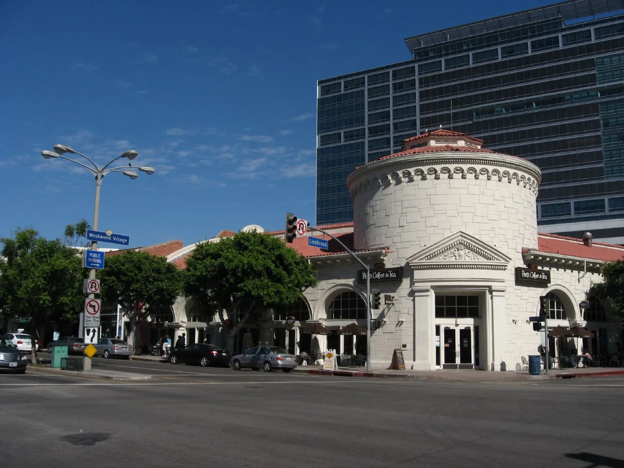
Westwood Village streetscape, October 2008. Archival photograph; current conditions may differ.
Westwood Village streetscape, October 2008. Archival photograph; current conditions may differ.
Creator: Ken Lund
License: CC BY-SA 2.0
UCLA, Westwood Village, public resources and current transport
Around the area
Around this neighborhood
- Hammer MuseumThe Hammer Museum at UCLA is a public art museum at Wilshire and Westwood boulevards.
- Mildred E. Mathias Botanical GardenPublic botanical garden on the UCLA campus near Tiverton Drive and Hilgard Avenue.
- Ronald Reagan UCLA Medical CenterRonald Reagan UCLA Medical Center is a UCLA Health hospital on the university’s Westwood campus.
- Westwood Branch LibraryWestwood Branch Library is a Los Angeles Public Library branch close to Westwood Village.
- Westwood Recreation CenterWestwood Recreation Center is a City of Los Angeles recreation complex on Sepulveda Boulevard.
- Westwood Village Farmers MarketWestwood Village Farmers Market is a weekly farmers market on Broxton Avenue in Westwood Village.
About Westwood
Westwood brings together UCLA, Westwood Village, a major medical district and residential streets on the Los Angeles Westside. The map uses the City’s broader Westwood Community Plan Area; Westwood Village is its commercial core, rather than a separate town. Buses serve UCLA and the medical district today, while the Westwood/UCLA D Line station remains a construction project.
Westwood and Westwood Village
The City’s Westwood Community Plan Area includes Westwood Village, North Westwood Village and UCLA. The Village is the commercial district south of campus. The planning boundary shown here is a broader geographic reference; it does not establish school attendance or every informal use of the neighborhood name.
Current buses and future rail
UCLA and the medical district generate a substantial bus network. Big Blue Bus changed its UCLA services in August 2026, including E Line connections and service to the medical campus. Westwood/UCLA’s future D Line station is under construction; use current bus and rail timetables when assessing a commute today.
Public culture and healthcare
Hammer Museum provides free general admission at Wilshire and Westwood boulevards. The Mathias Botanical Garden offers a public-facing campus landscape near Tiverton Drive. Ronald Reagan UCLA Medical Center and nearby Medical Plaza buildings concentrate hospital and outpatient services; confirm the correct building, provider and appointment arrangements.
Schools, housing and everyday routines
The detailed Westwood guide covers public school options, dated housing figures, the Village, recreation, libraries and property-level checks for parking, construction and daily travel. School assignment depends on the exact residential address.
Check these on a visit
Try these in person before you commit to an address in Westwood.
- Can you reach your regular UCLA, healthcare or Village destinations from this exact address?
- Which current bus route works for your weekday schedule while the D Line station is under construction?
- What parking and school-assignment arrangements apply to the property?
Neighborhoods and districts near Westwood
The closest neighborhoods and districts in Los Angeles, measured center to center.
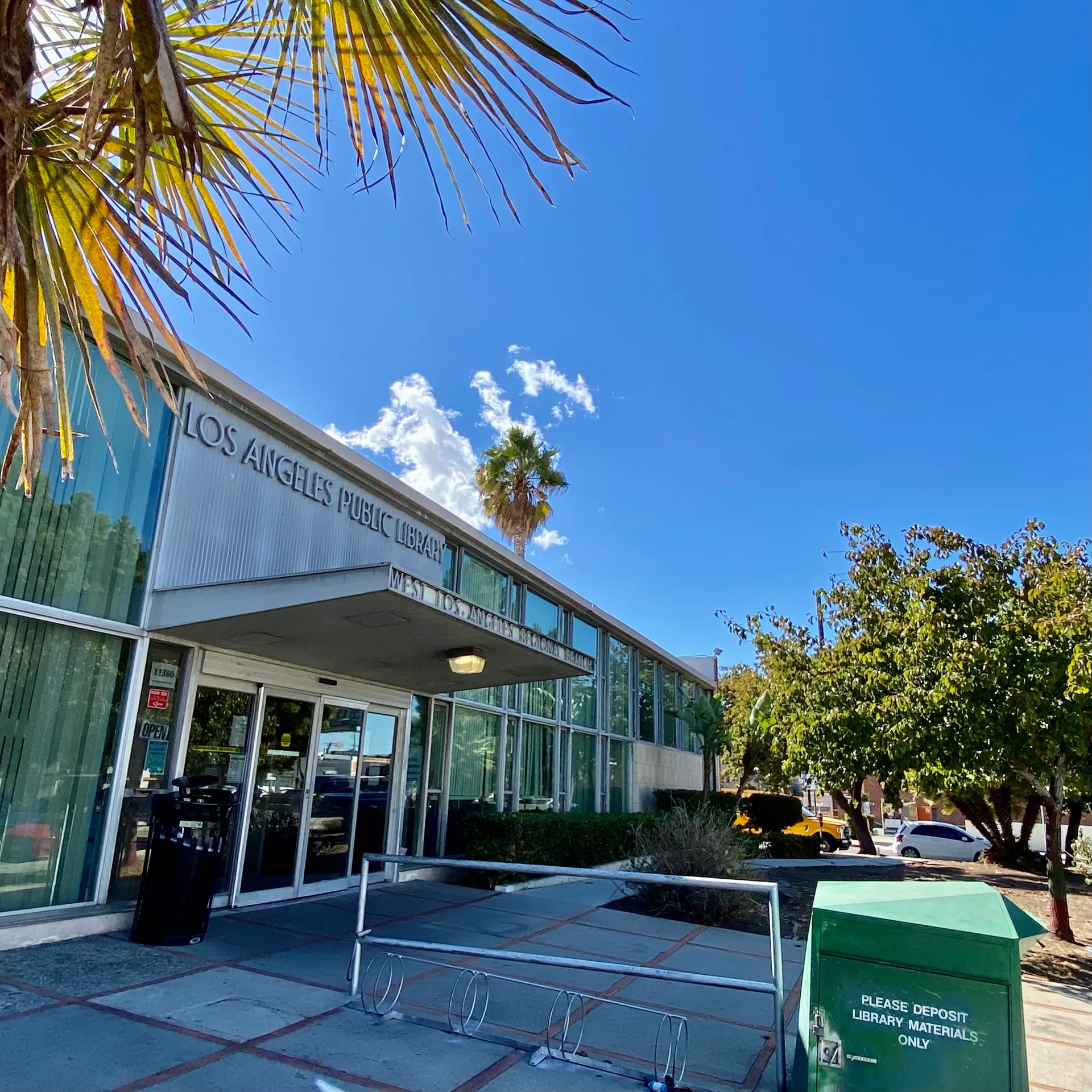 1.3 miWest Los AngelesWest Los Angeles’s Santa Monica Boulevard corridor has Metro Line 4, Big Blue Bus Route 1 and the regional library. Compare with Westwood
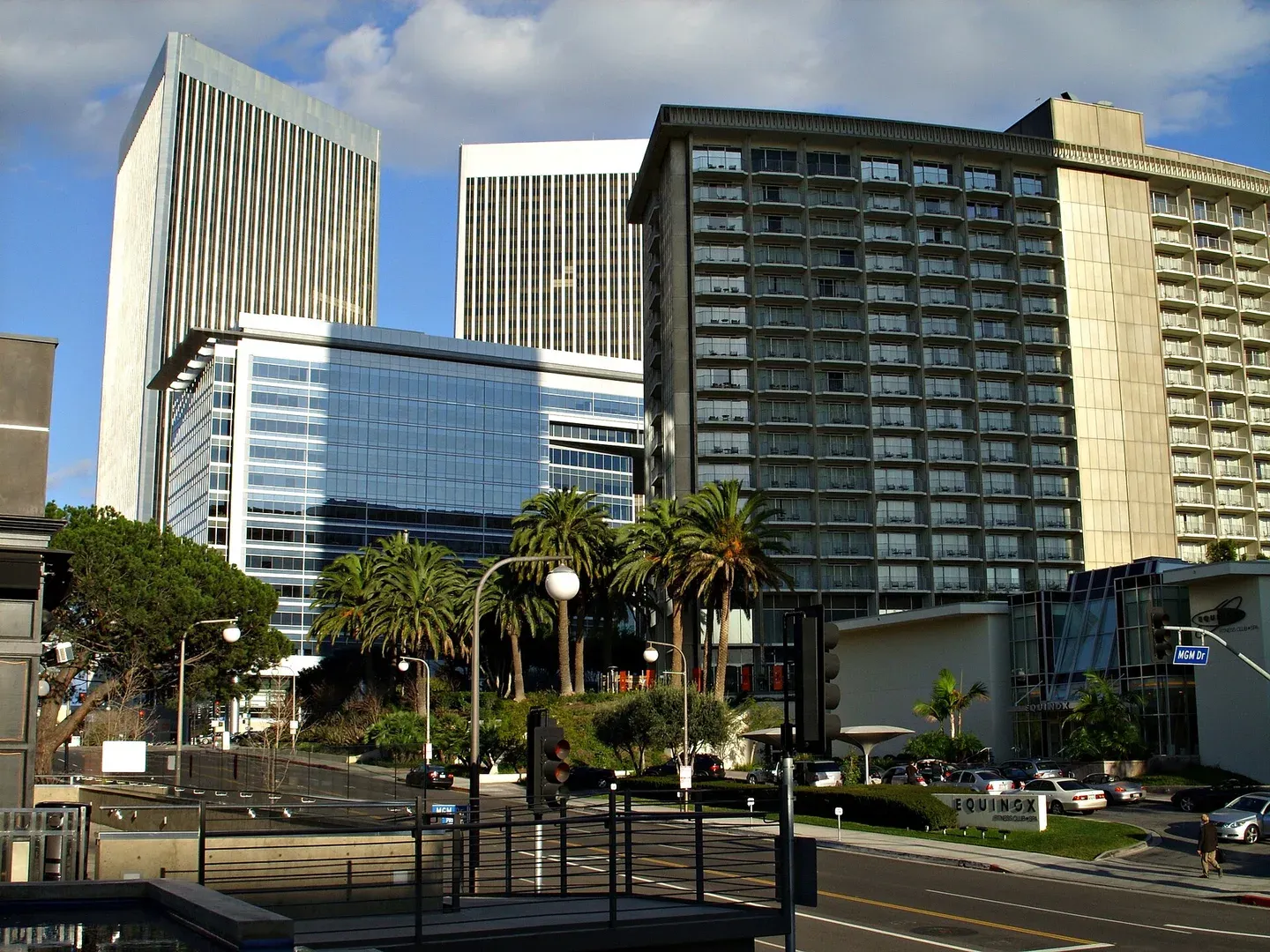 1.3 miCentury CityCentury City is a Westside employment and residential district with large buildings and destinations that can appear closer on a map than their entrances feel on foot. Compare with Westwood
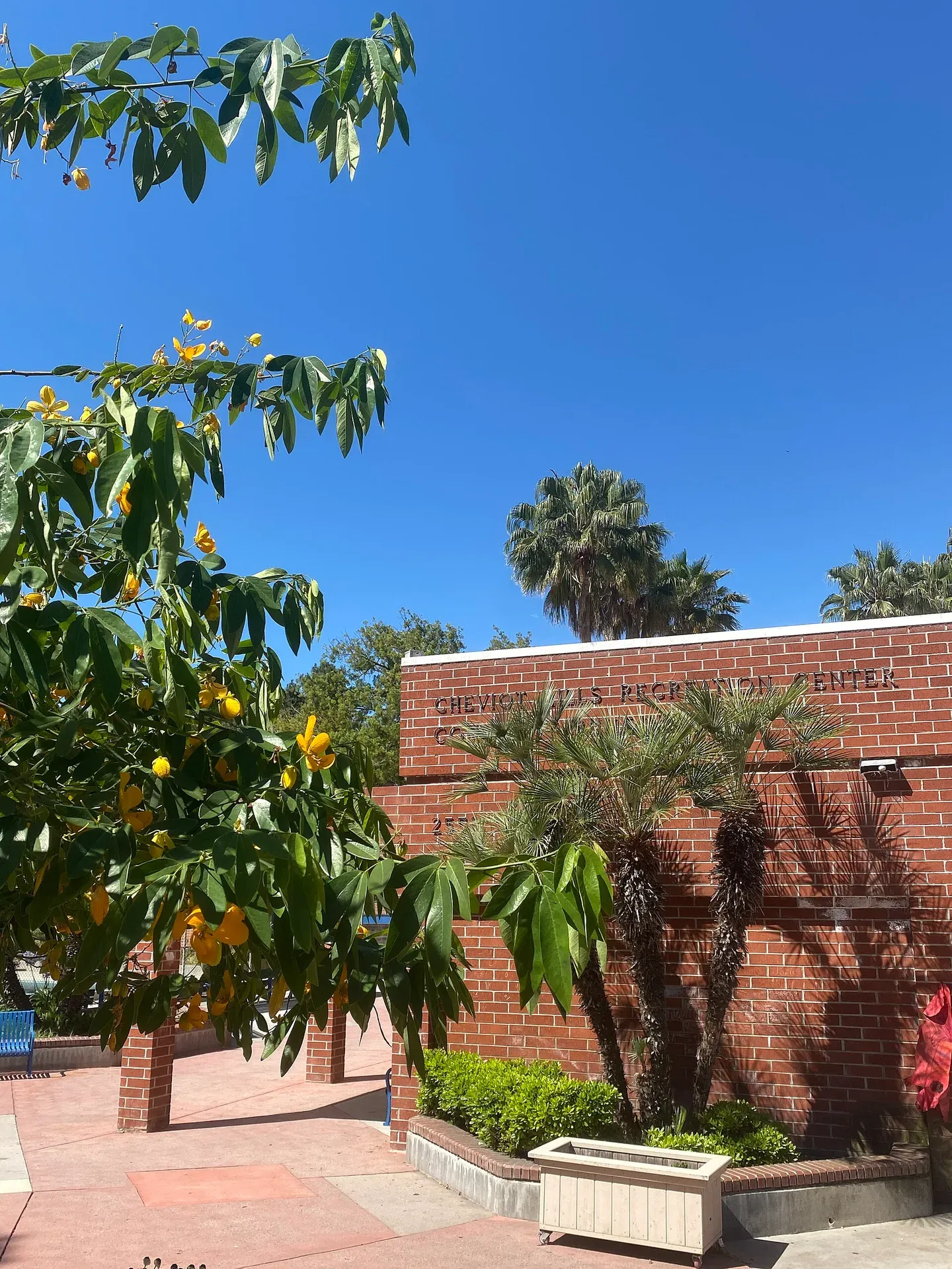 2.2 miCheviot HillsCheviot Hills is a Westside residential area with a substantial recreation destination on Motor Avenue. Compare with Westwood
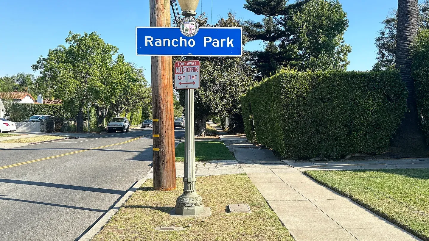 2.2 miRancho ParkRancho Park is a Westside neighborhood near a substantial recreation and golf setting. Compare with Westwood
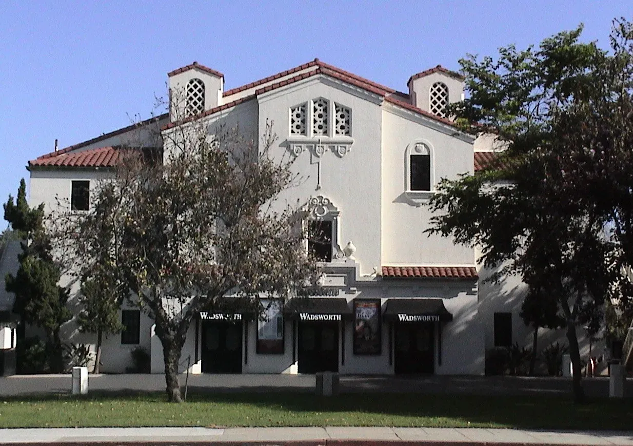 2.3 miSawtelleSawtelle Boulevard's commercial corridor gives this Westside neighborhood a recognizable shopping and dining destination amid surrounding residential streets. Compare with Westwood
 2.6 miPico-RobertsonPico-Robertson takes its name from two Westside boulevards with distinct local roles. Compare with Westwood
Guides about Westwood
Sources & data notesReferences, reporting periods, and how to use this information
Information on this page is compiled from multiple sources and provided for general information. It may be incomplete or out of date, and we do not guarantee its accuracy, completeness, or timeliness. Independently verify important details with the original source, relevant authority, or a qualified professional before making decisions.
Statistics keep their reporting periods. Survey estimates are not current asking prices or quotes for an individual property. Displayed values are rounded.
- LA City Planning — Westwood Community Plan AreaLA City Planning — Westwood Community Plan AreaSource checked
- Metro — D Line construction and project statusMetro — D Line construction and project statusSource checked
- Culver CityBus — LAX/Metro Transit Center connectionCulver CityBus — LAX/Metro Transit Center connectionSource checked
- Hammer Museum — visitHammer Museum — visitSource checked
- UCLA — Mathias Botanical GardenUCLA — Mathias Botanical GardenSource checked
- UCLA Health — Ronald Reagan Medical CenterUCLA Health — Ronald Reagan Medical CenterSource checked
- Housing, school and daily-life context.Westwood Neighborhood GuideSource checked
Photo credits
- Westwood Village streetscape, October 2008. Archival photograph; current conditions may differ.Image credits and license
Westwood Village streetscape, October 2008. Archival photograph; current conditions may differ.
Creator: Ken Lund
License: CC BY-SA 2.0