


Public elementary school · Los Angeles
Brentwood Science
See which neighborhoods are closest to Brentwood Science and what living in each one is like.
- GradesK–5
- TypePublic
- Students2242024–25 school year
- DistrictLos Angeles Unified
Neighborhoods and districts near Brentwood Science
The closest neighborhoods and districts within 5 miles, measured from the school to the middle of each one.
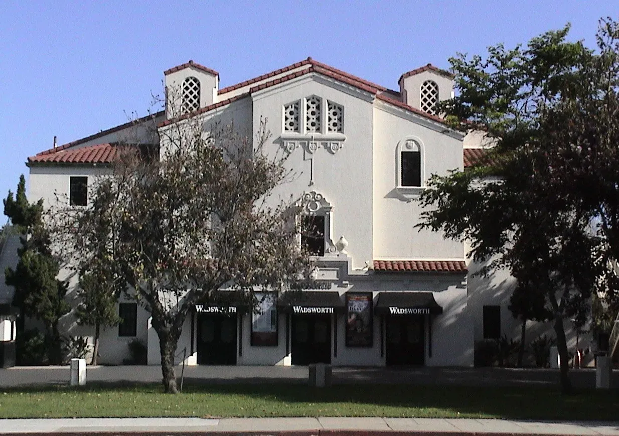 2.0 miSawtelleSawtelle Boulevard's commercial corridor gives this Westside neighborhood a recognizable shopping and dining destination amid surrounding residential streets.
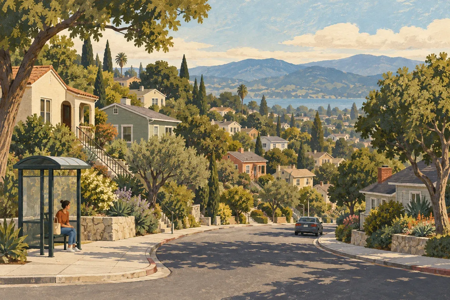 2.5 miWest Los AngelesWest Los Angeles’s Santa Monica Boulevard corridor has Metro Line 4, Big Blue Bus Route 1 and the regional library.
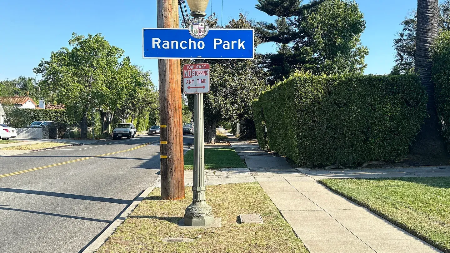 3.1 miRancho ParkRancho Park is a Westside neighborhood near a substantial recreation and golf setting.
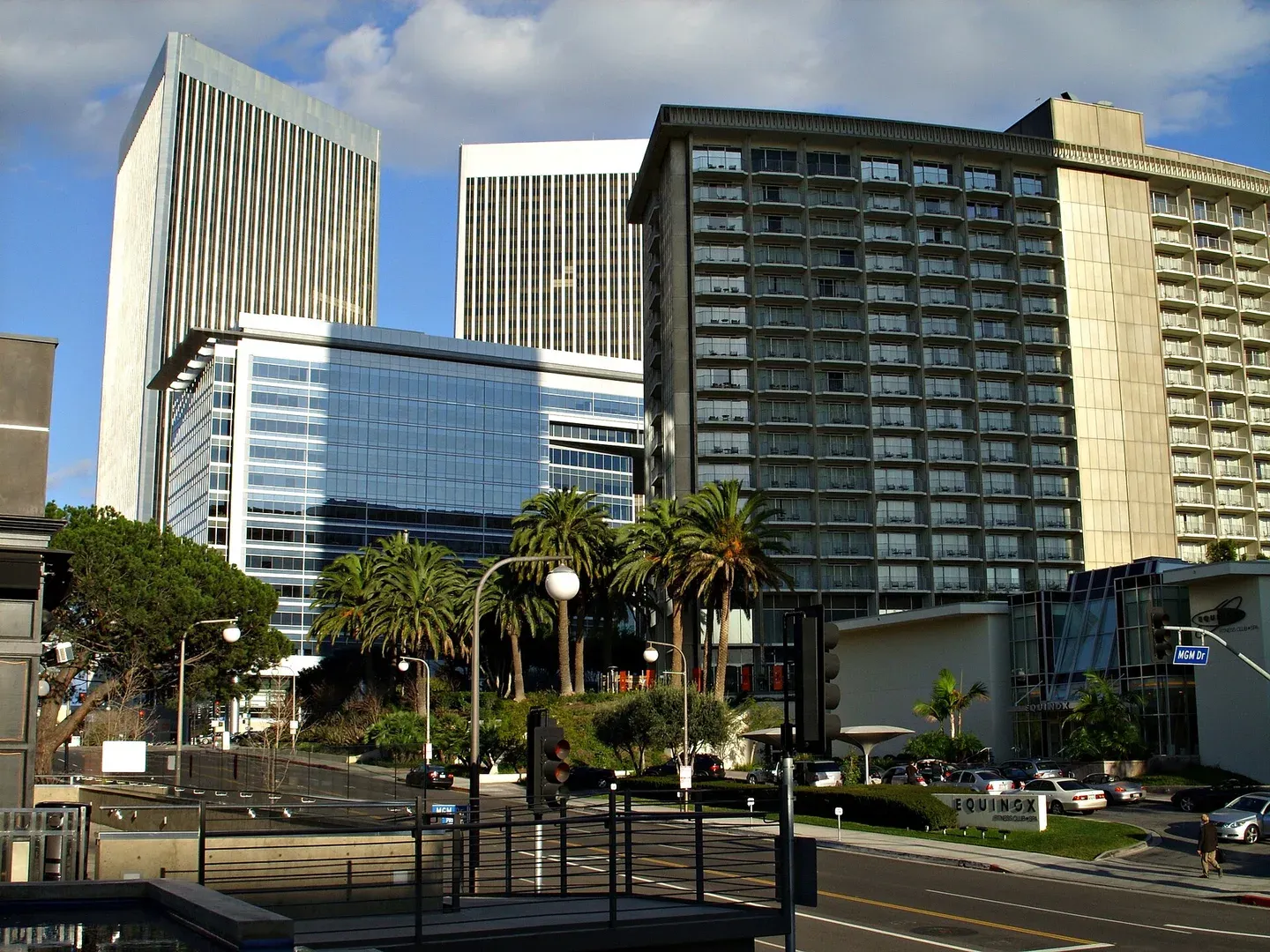 3.4 miCentury CityCentury City is a Westside employment and residential district with large buildings and destinations that can appear closer on a map than their entrances feel on foot.
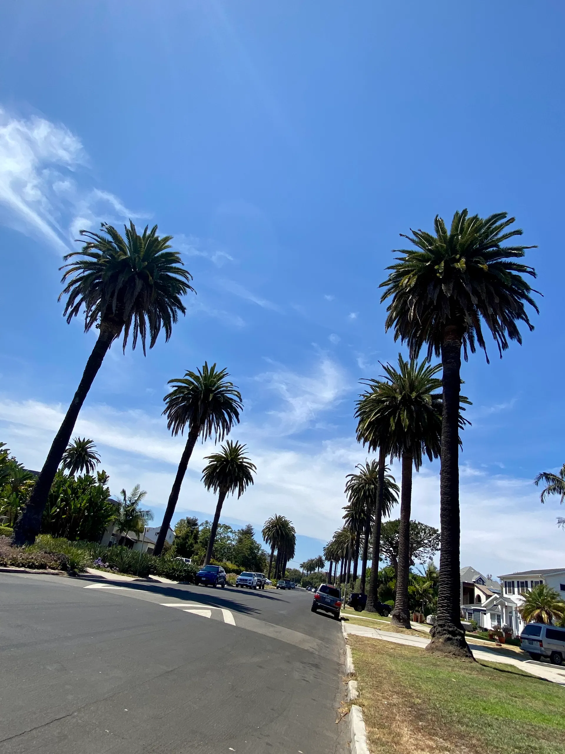 3.5 miMar VistaVenice Boulevard anchors a useful service corridor through Mar Vista, within the Westside's wider Palms–Mar Vista–Del Rey planning area.
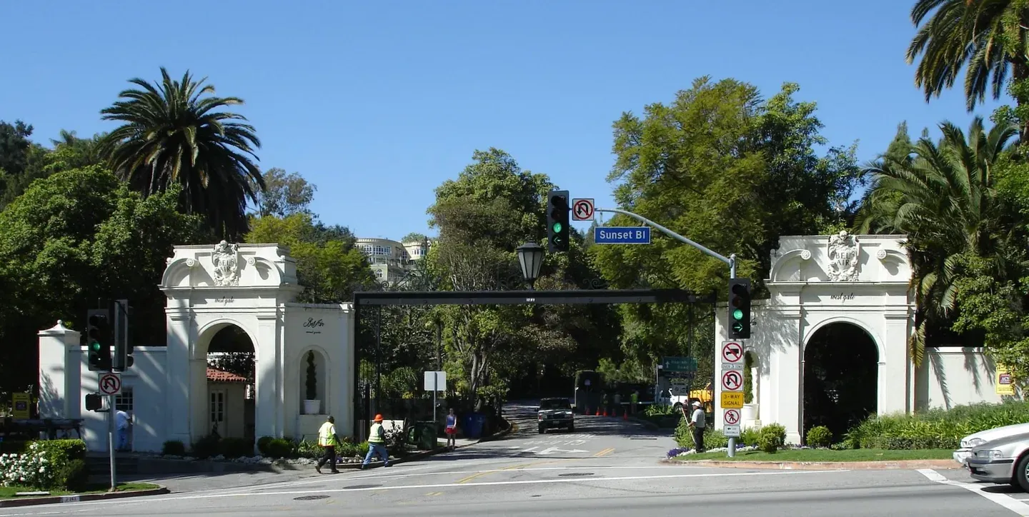 3.6 miBel-AirBel-Air is a hillside Los Angeles neighborhood, not a separate municipality and not one uniform gated development.
Other schools nearby
All Los Angeles schools- Brockton Avenue ElementaryPublic · Grades K–50.8 mi
- St Martin of Tours Elementary SchoolPrivate · Grades K–80.8 mi
- University High School CharterCharter · Grades 9–120.9 mi
- Southern California Montessori SchoolPrivate · Grades Pre-K–K1.0 mi
- Franklin ElementaryPublic · Grades K–51.0 mi
- Lighthouse Christian AcademyPrivate · Grades 9–121.1 mi