


Bayview Park, San Francisco
- Park
- Regional draw
- San Francisco
Bayview Park preserves a natural hillside landscape in southeast San Francisco, with grassland, coastal scrub and groves of trees.
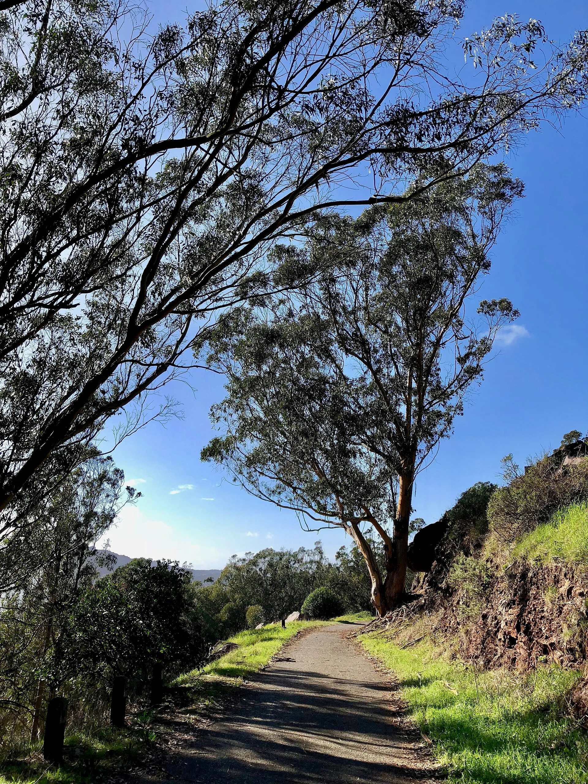
Its varied habitats support birds and other wildlife, while spring flowers add seasonal interest.
The photograph shows an actual trail within the park. The main route follows a paved road loop from the eastern end of Key Avenue, with remnants of earlier stonework along the way. Check current recreation-department notices for access and route conditions. Expect slopes and changing exposure rather than a level ornamental garden. Stay on permitted paths, respect restoration planting and give wildlife space.
Visitor details reviewed October 26, 2026. Check official visitor information for current access, admission, and operating arrangements. View on OpenStreetMap.
Image credit: Gregory Varnum / Wikimedia Commons. Original source. CC BY-SA 4.0. Resized and converted to WebP; may be cropped for display.
Nearby
More places nearby
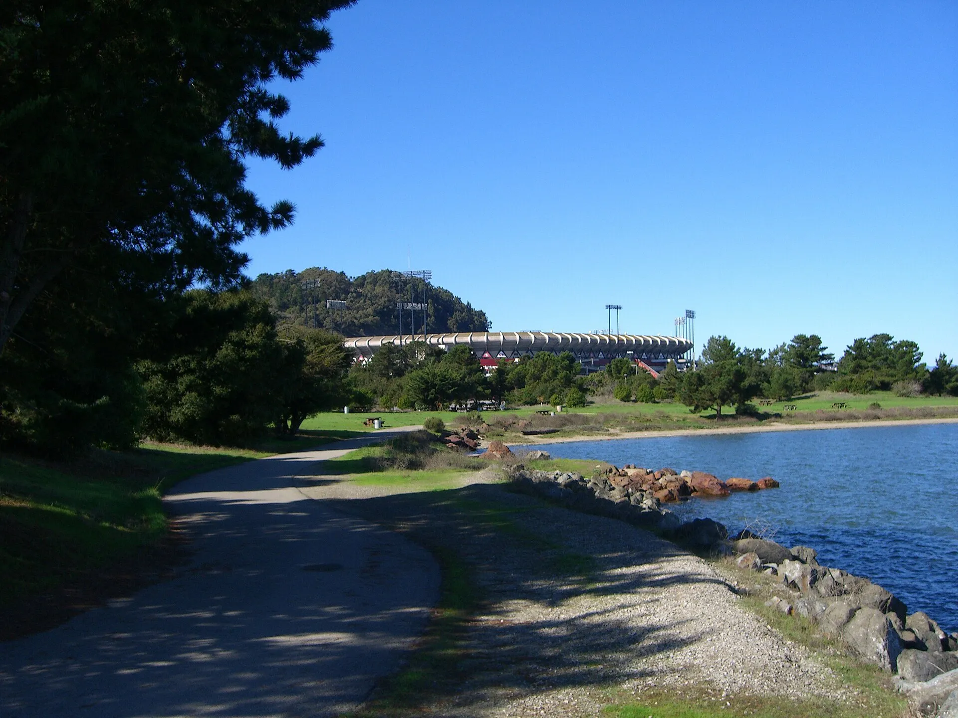 Candlestick Point State Recreation AreaCandlestick Point State Recreation Area follows San Francisco Bay in the city’s southeast.
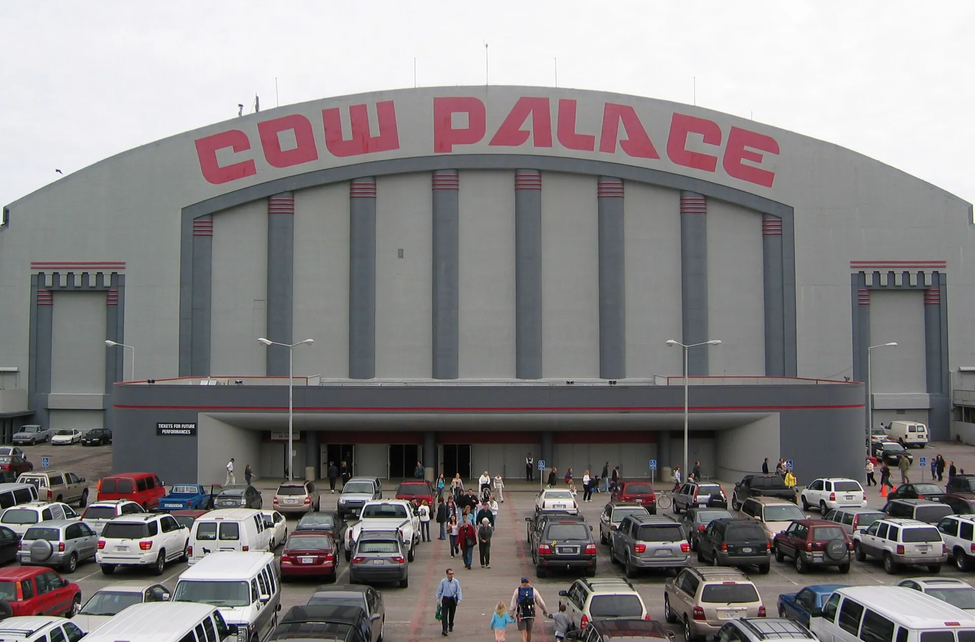 Cow PalaceCow Palace is a longstanding arena and exhibition venue on Daly City’s northern edge.
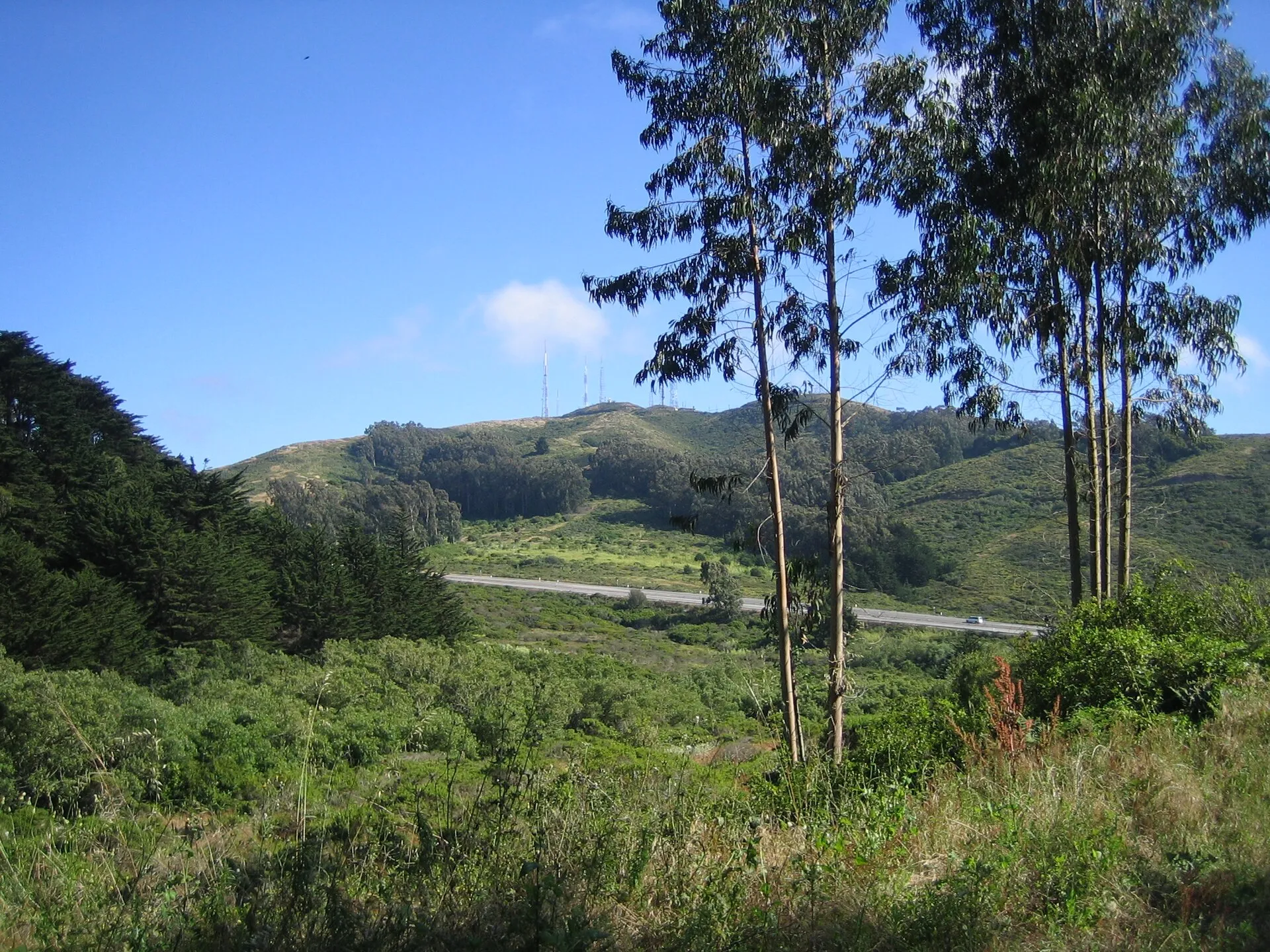 San Bruno Mountain State and County ParkSan Bruno Mountain State and County Park protects rugged open space and important habitat above the northern peninsula.
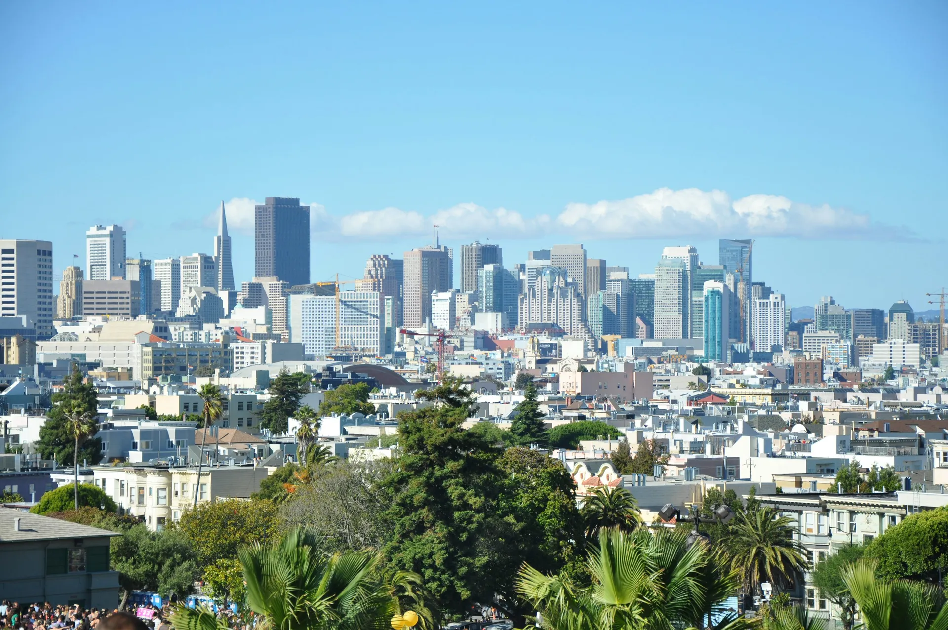 Mission Dolores ParkSloping lawns and skyline views in the Mission District.
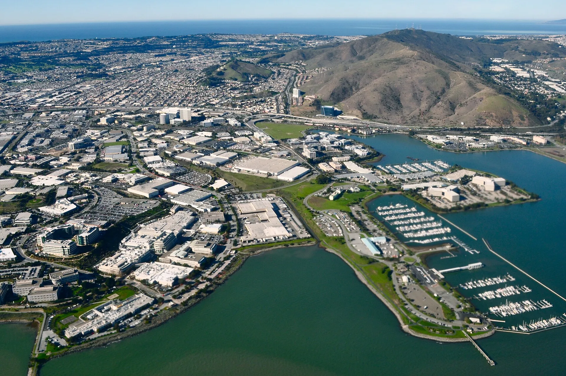 Oyster Point Marina and ParkOyster Point Marina and Park provides a waterfront recreation setting on San Francisco Bay in South San Francisco.
 Sign Hill Park, South San FranciscoSign Hill Park protects a steep open hillside above South San Francisco, known for the large historic “The Industrial City” lettering.