


Oyster Point Marina and Park
- Waterfront
- Regional draw
- South San Francisco
Oyster Point Marina and Park provides a waterfront recreation setting on San Francisco Bay in South San Francisco.
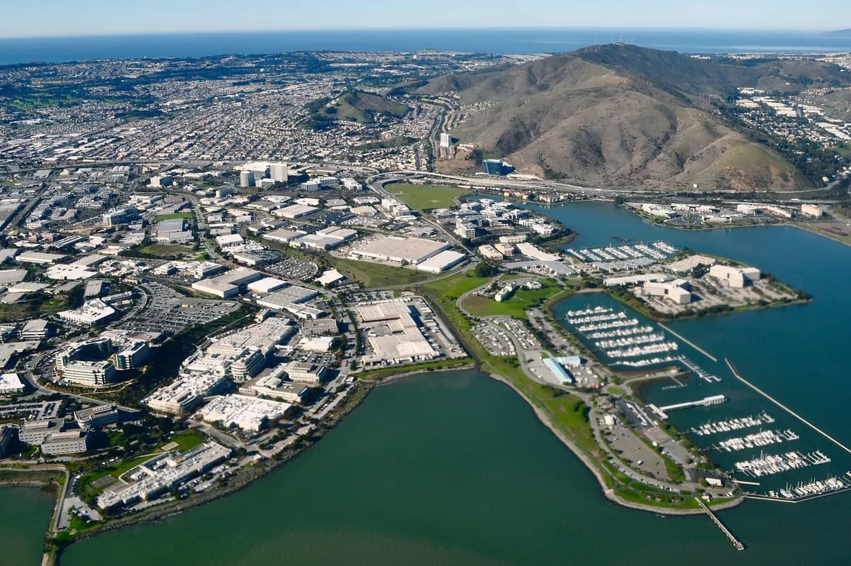
Public paths and marina views offer an outdoor contrast to the surrounding commercial and research districts.
Check current harbor information for parking, shore access and any construction or facility restrictions. Boat berths and other marina services have separate arrangements. The photograph shows an aerial view of the Oyster Point landscape from an earlier visit, so buildings, shoreline works and access routes may have changed.
Visitor details reviewed October 18, 2026. Check official visitor information for current access, admission, and operating arrangements. View on OpenStreetMap.
Image credit: Sharon Hahn Darlin / Wikimedia Commons. Original source. CC BY 2.0. Resized and converted to WebP; may be cropped for display.
Nearby
More places nearby
 South San Francisco Hillside SignThe South San Francisco hillside sign is a prominent historic landmark spelling out the city’s industrial identity above the surrounding neighborhoods.
 Sign Hill Park, South San FranciscoSign Hill Park protects a steep open hillside above South San Francisco, known for the large historic “The Industrial City” lettering.
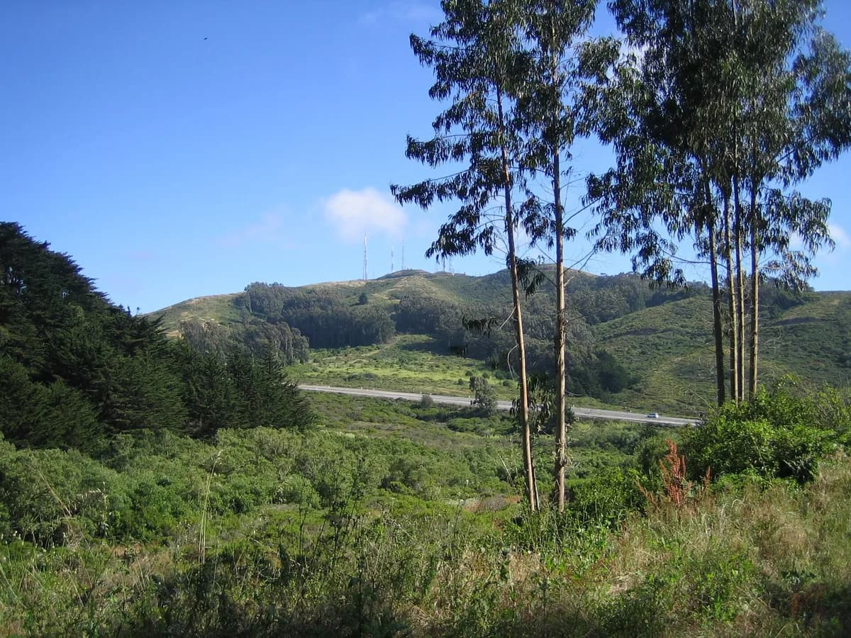 San Bruno Mountain State and County ParkSan Bruno Mountain State and County Park protects rugged open space and important habitat above the northern peninsula.
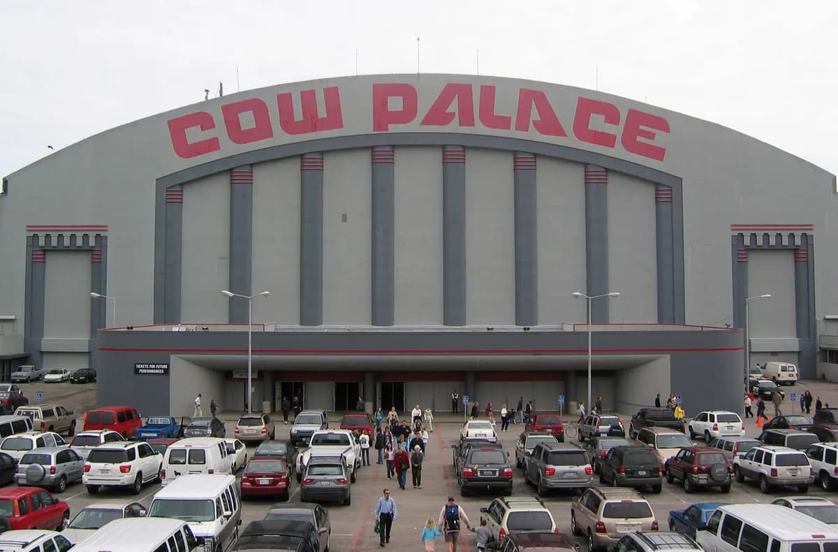 Cow PalaceCow Palace is a longstanding arena and exhibition venue on Daly City’s northern edge.
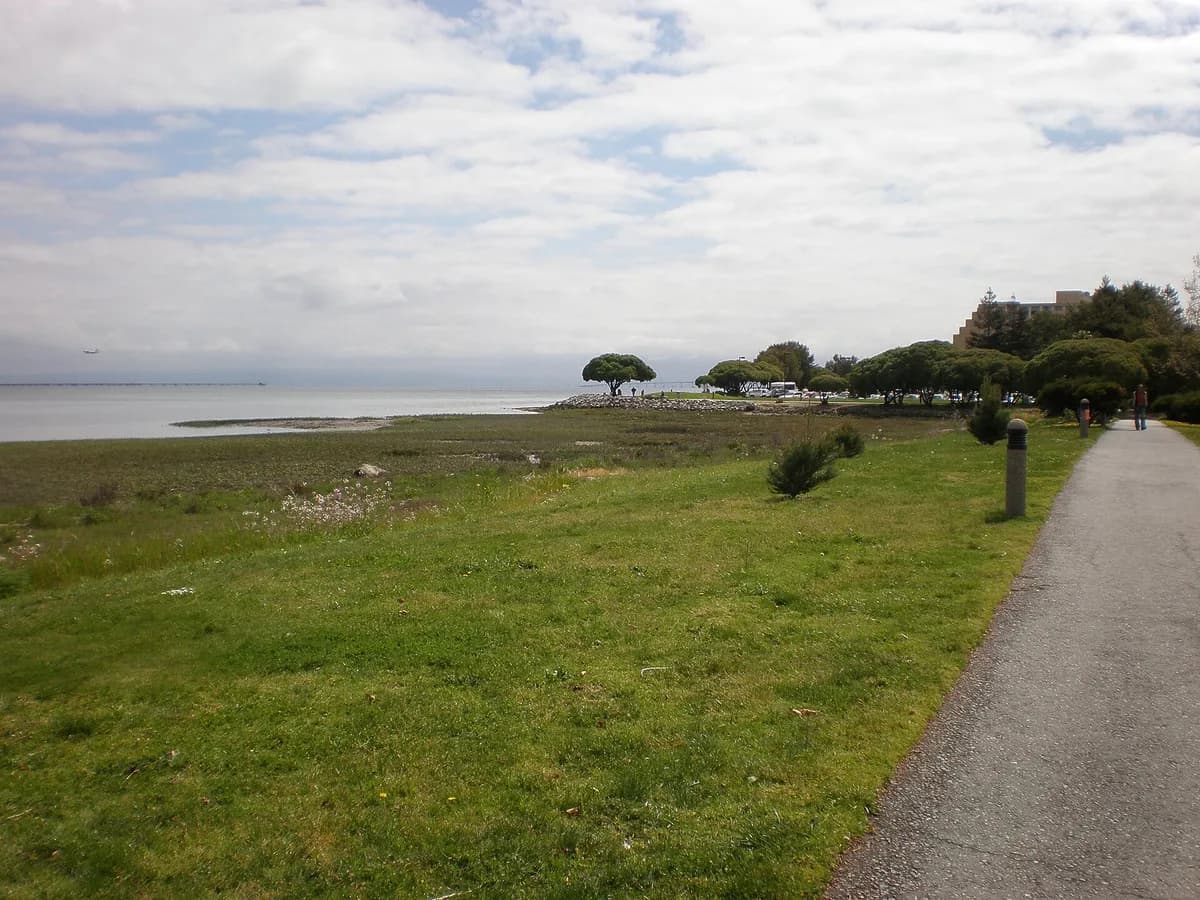 Bayfront Park, MillbraeBayfront Park offers an open shoreline route along San Francisco Bay in Millbrae.
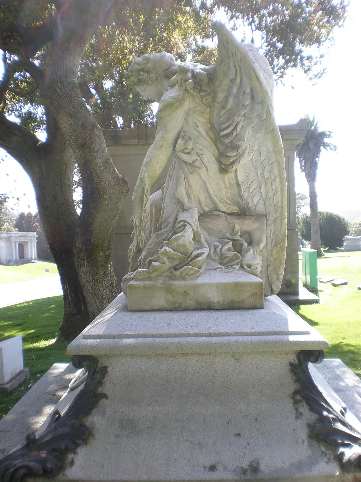 Cypress Lawn Memorial ParkCypress Lawn Memorial Park combines a historic cemetery with a significant arboretum in Colma.