


Candlestick Point State Recreation Area
- Park
- Regional draw
- San Francisco
Candlestick Point State Recreation Area follows San Francisco Bay in the city’s southeast.
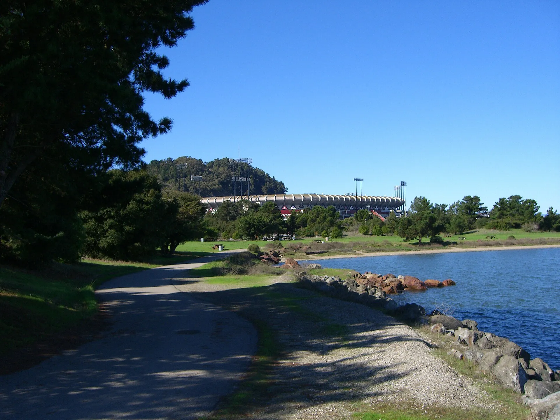
Shoreline paths, picnic areas and opportunities to observe birds provide an outdoor destination distinct from the former neighboring stadium site.
Use current state-park maps and notices to choose an entrance and check pier or construction restrictions. The photograph shows the actual shoreline in an earlier period. Dogs must remain on a short leash. Wind often strengthens during the afternoon, so plan clothing accordingly. Fishing, paddling and special group activities have their own conditions; an open walking route does not guarantee access to every shoreline facility.
Visitor details reviewed October 26, 2026. Check official visitor information for current access, admission, and operating arrangements. View on OpenStreetMap.
Image credit: Eric Fredericks / Wikimedia Commons. Original source. CC BY-SA 2.0. Resized and converted to WebP; may be cropped for display.
Nearby
More places nearby
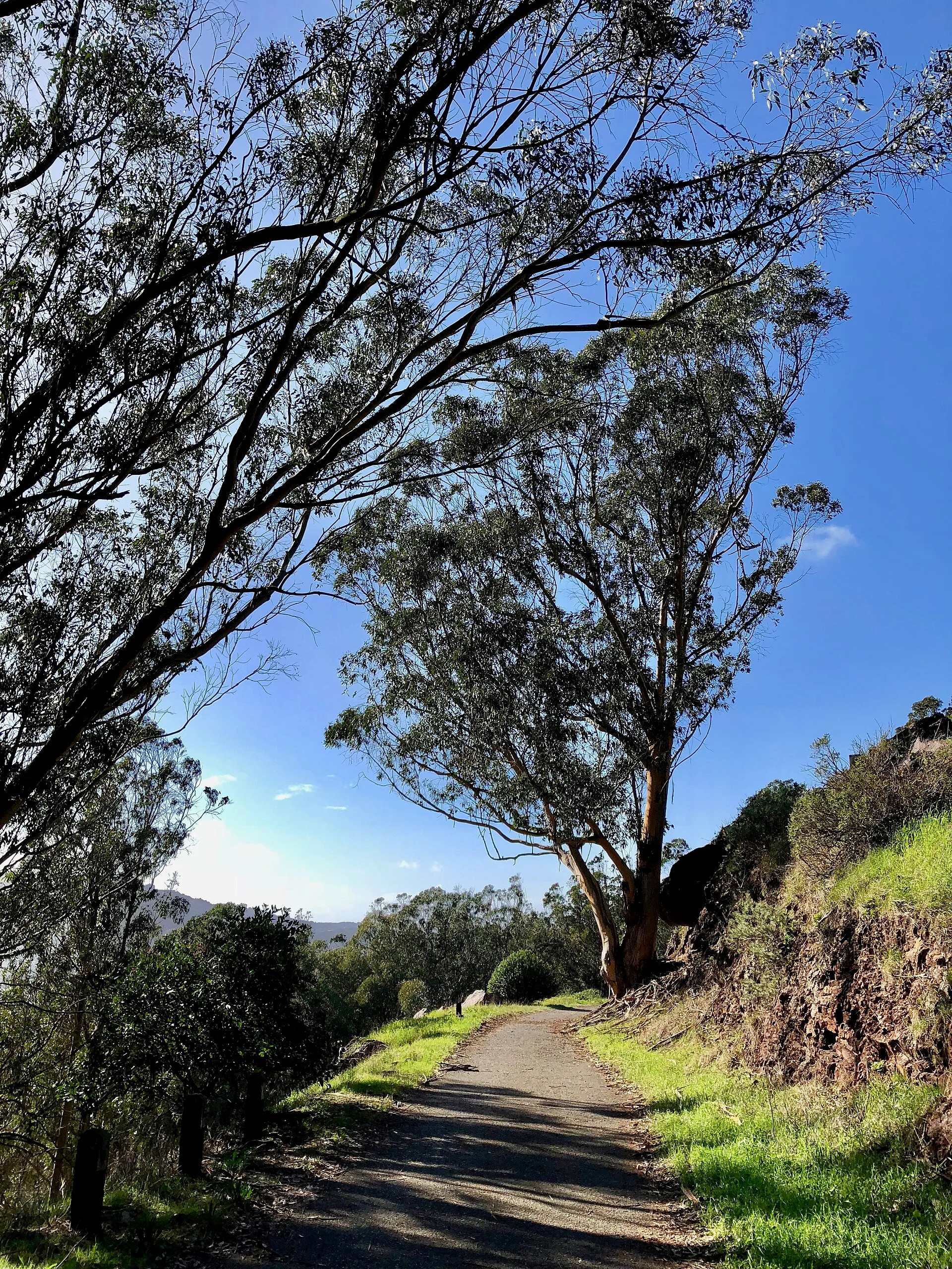 Bayview Park, San FranciscoBayview Park preserves a natural hillside landscape in southeast San Francisco, with grassland, coastal scrub and groves of trees.
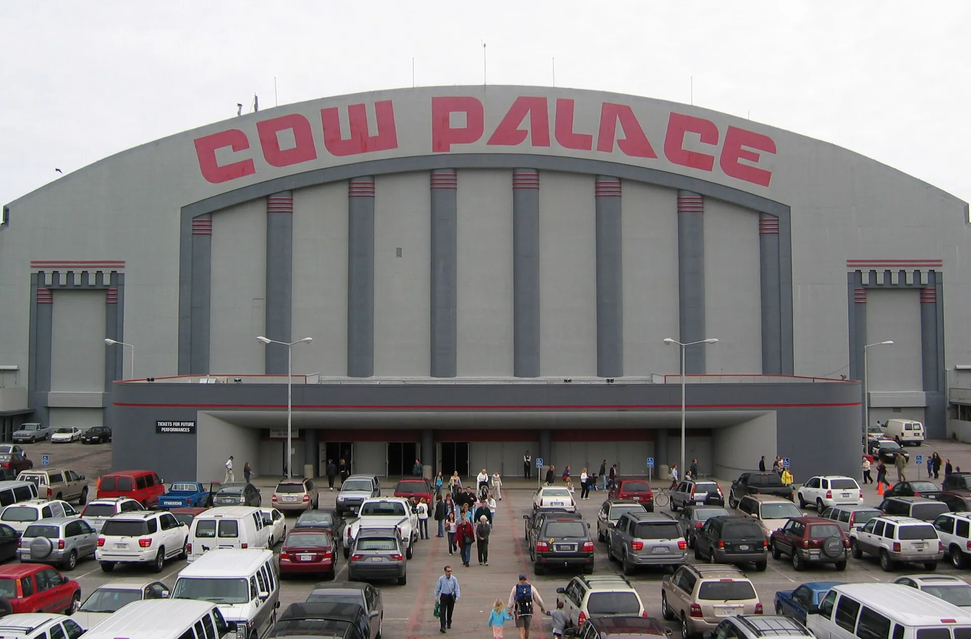 Cow PalaceCow Palace is a longstanding arena and exhibition venue on Daly City’s northern edge.
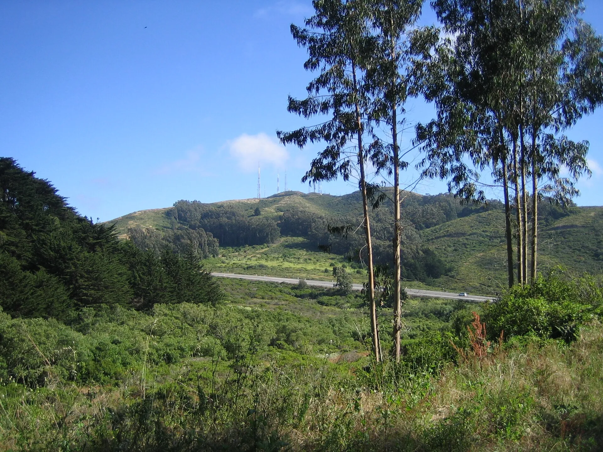 San Bruno Mountain State and County ParkSan Bruno Mountain State and County Park protects rugged open space and important habitat above the northern peninsula.
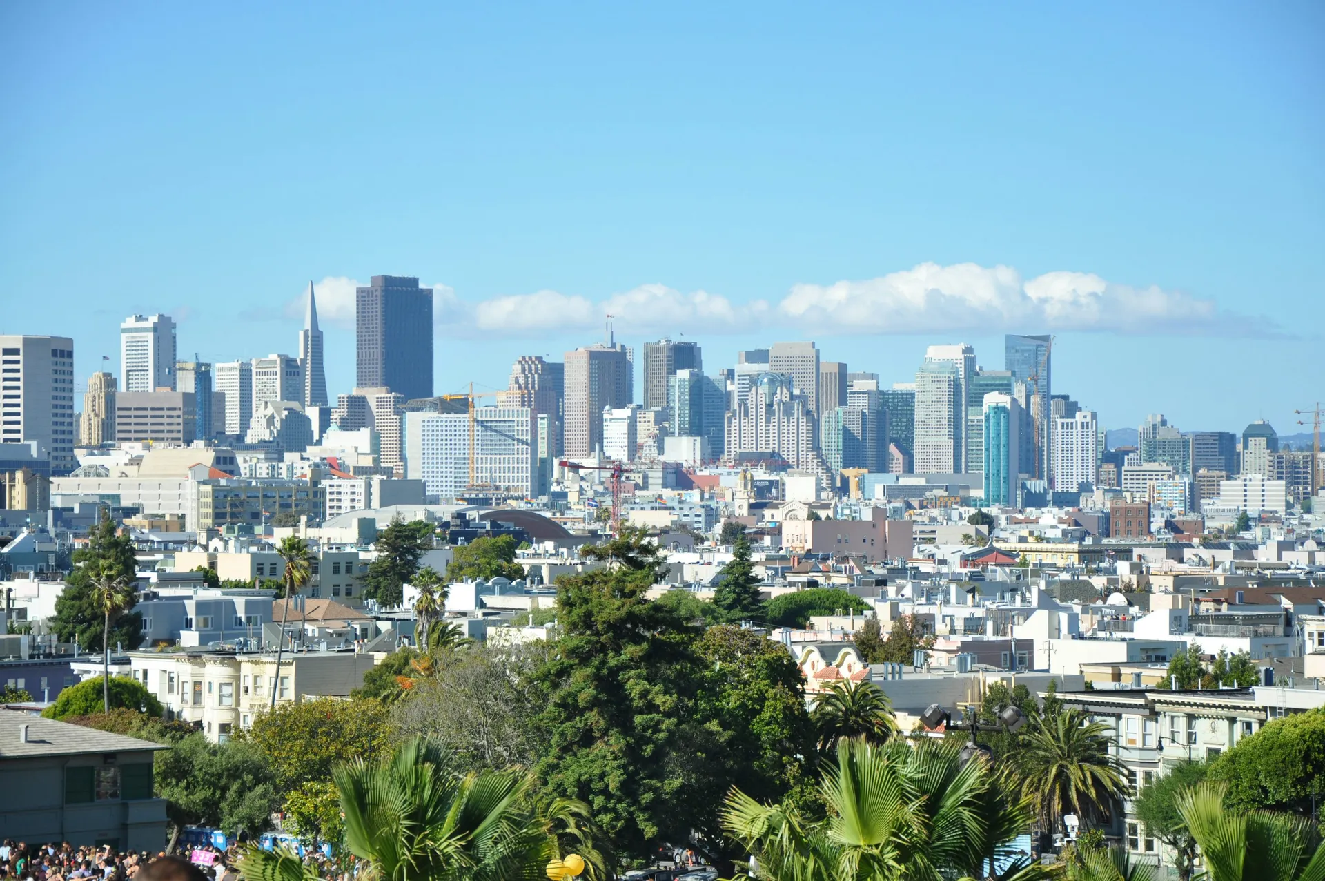 Mission Dolores ParkSloping lawns and skyline views in the Mission District.
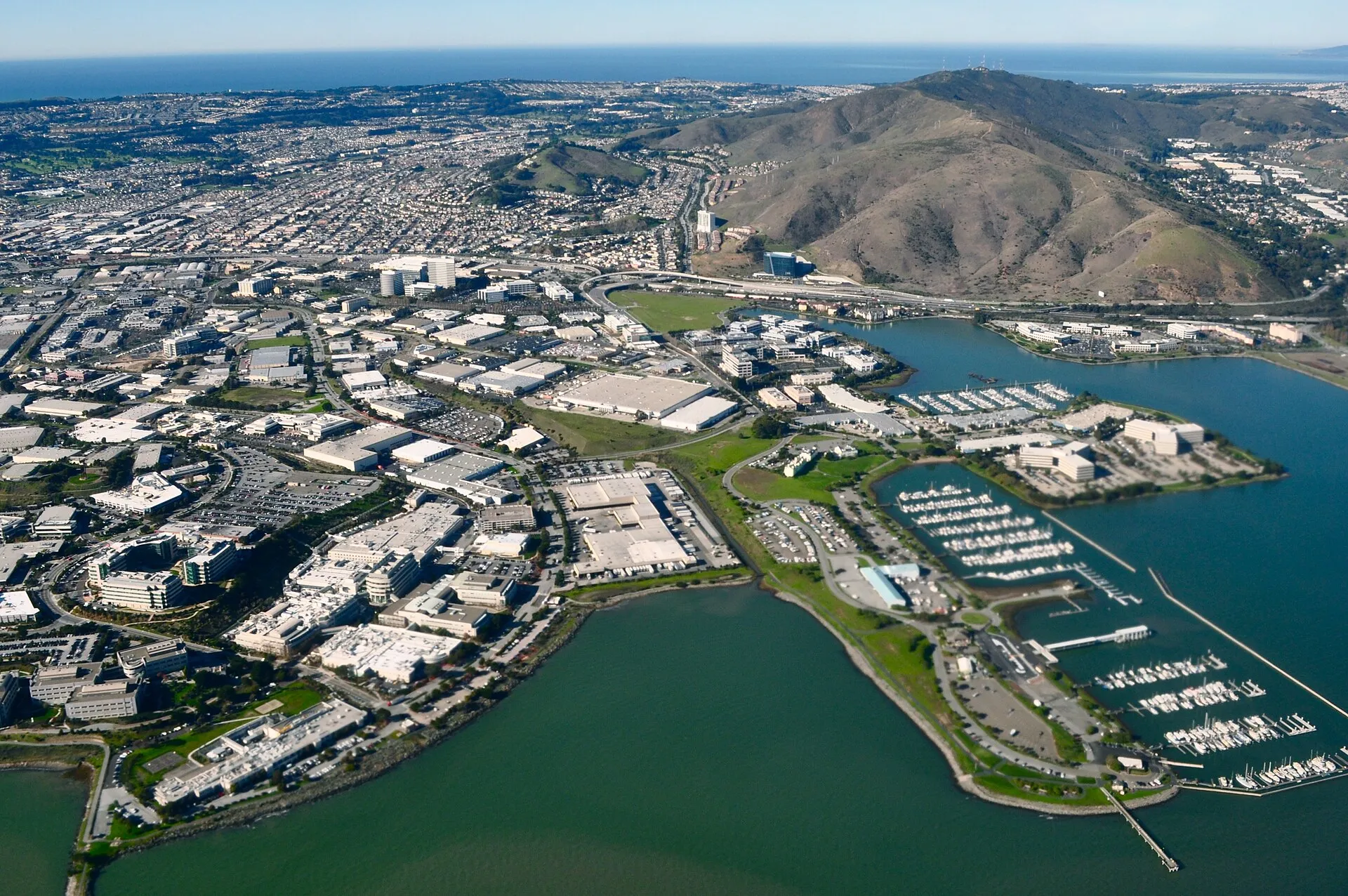 Oyster Point Marina and ParkOyster Point Marina and Park provides a waterfront recreation setting on San Francisco Bay in South San Francisco.
 South San Francisco Hillside SignThe South San Francisco hillside sign is a prominent historic landmark spelling out the city’s industrial identity above the surrounding neighborhoods.