


Fort Ord Dunes State Park
- Park
- Regional draw
- Marina
Fort Ord Dunes State Park protects a coastal dune landscape near Marina on former military land.
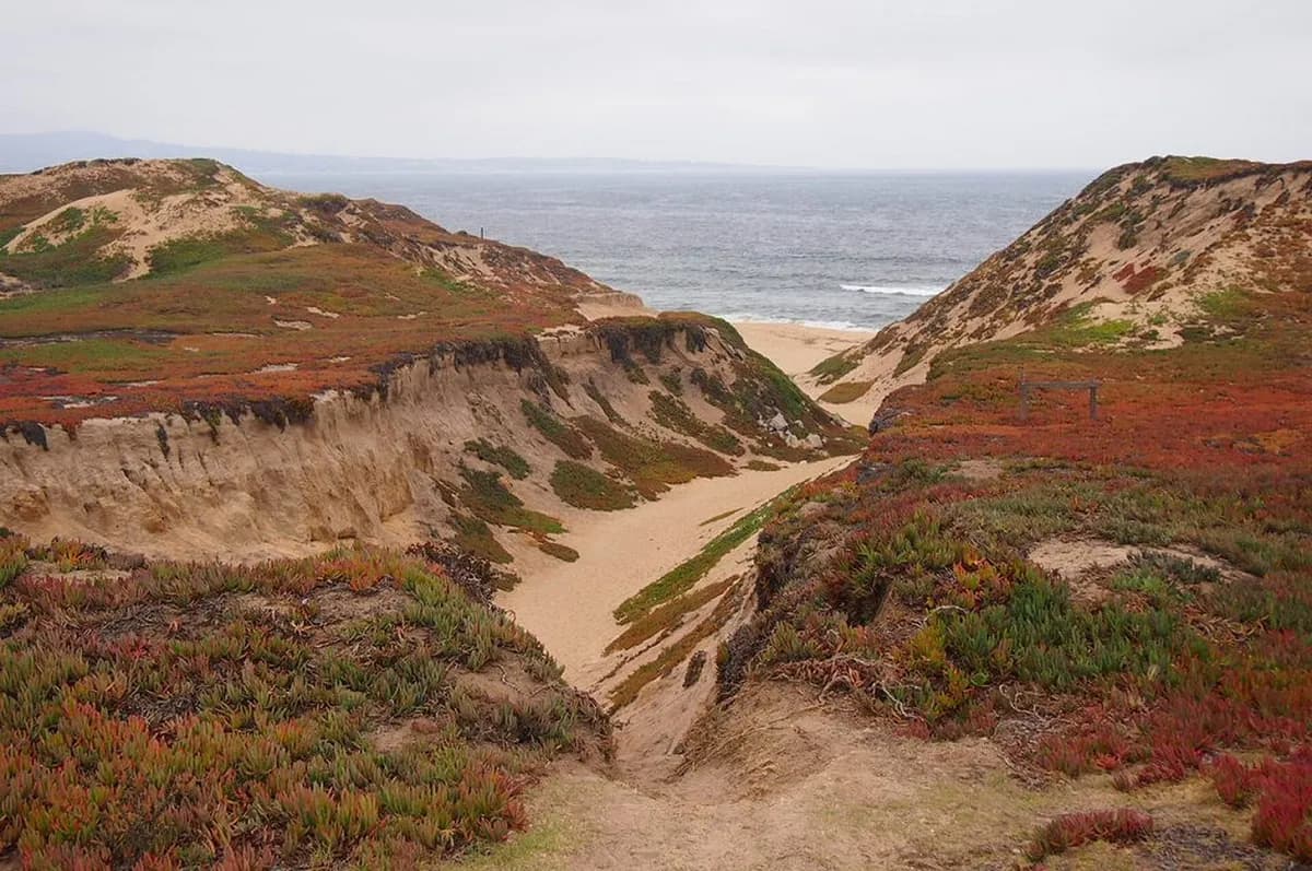
Its ocean views and restored habitat provide a nature-focused destination on the Monterey Bay shoreline.
Check current state park maps, opening information and trail or beach-access notices before setting out. The photograph shows the dunes and coast in 2013 rather than today’s paths or shoreline conditions. Stay on authorized routes and avoid closed restoration areas or former military structures. Camping and other facilities should be confirmed separately rather than inferred from older development plans or nearby parks.
Visitor details reviewed October 18, 2026. Check official visitor information for current access, admission, and operating arrangements. View on OpenStreetMap.
Image credit: McGhiever / Wikimedia Commons. Original source. CC BY-SA 3.0. Resized and converted to WebP; may be cropped for display.
Nearby
More places nearby
 Monterey State Historic ParkMonterey State Historic Park brings a collection of historic buildings and gardens into the old town.
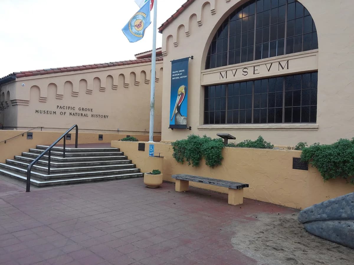 Pacific Grove Museum of Natural HistoryPacific Grove Museum of Natural History introduces the wildlife, plants and geology of the Monterey Peninsula.
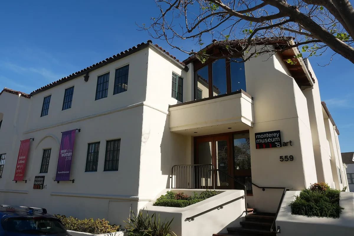 Monterey Museum of ArtMonterey Museum of Art presents California art within the city’s longstanding creative landscape.
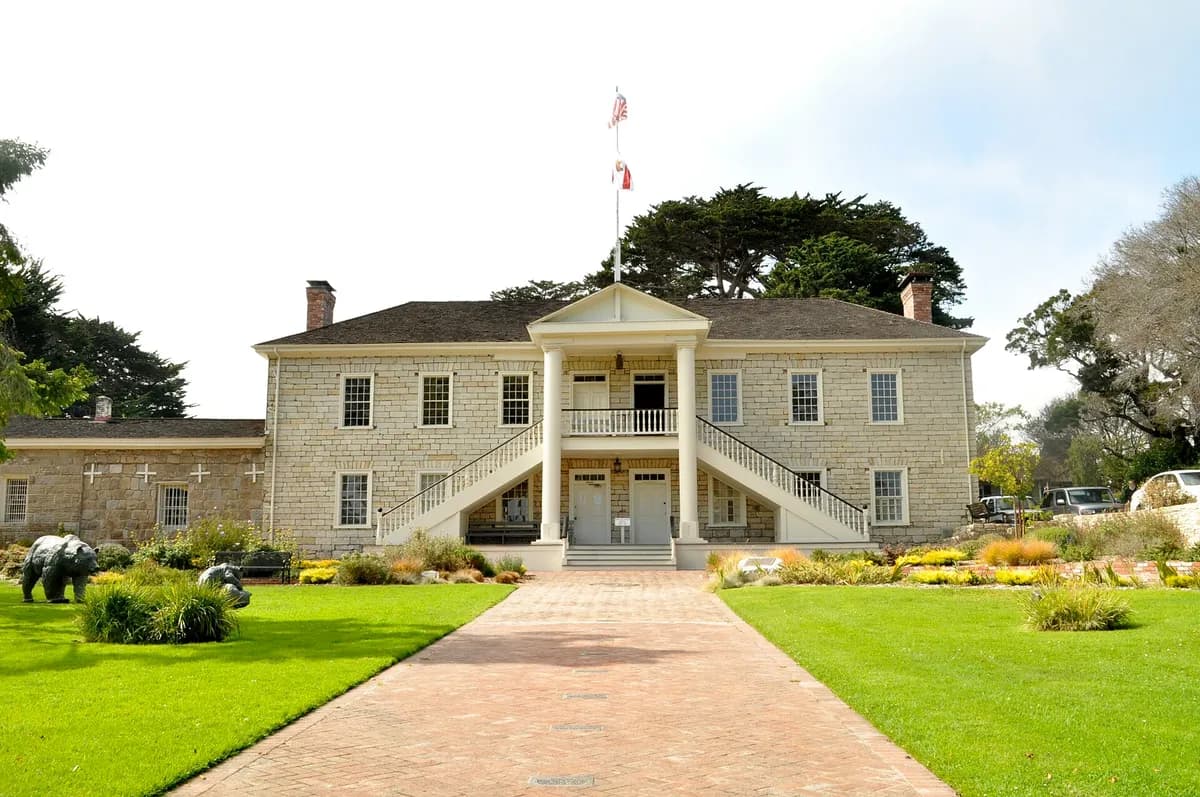 Colton Hall MuseumColton Hall in Monterey connects an early civic building with the drafting of California’s first state constitution.
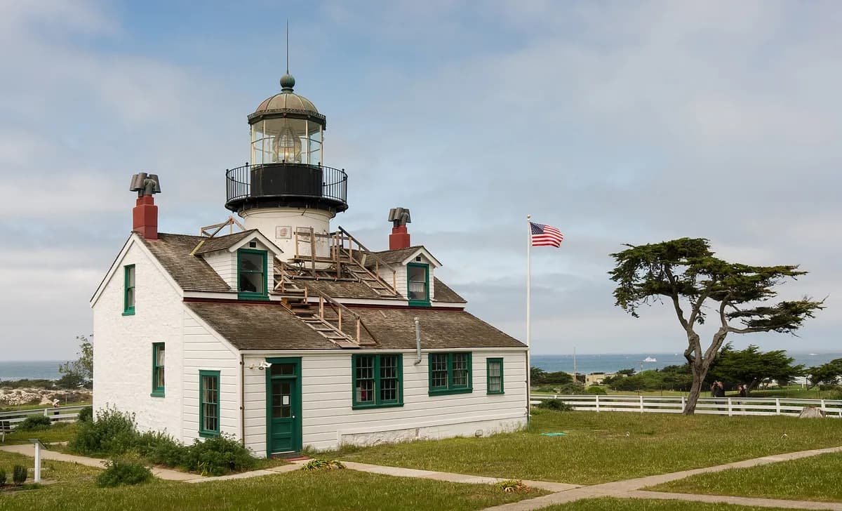 Point Pinos LighthousePoint Pinos Lighthouse in Pacific Grove combines an active navigational light with preserved domestic rooms and maritime interpretation.
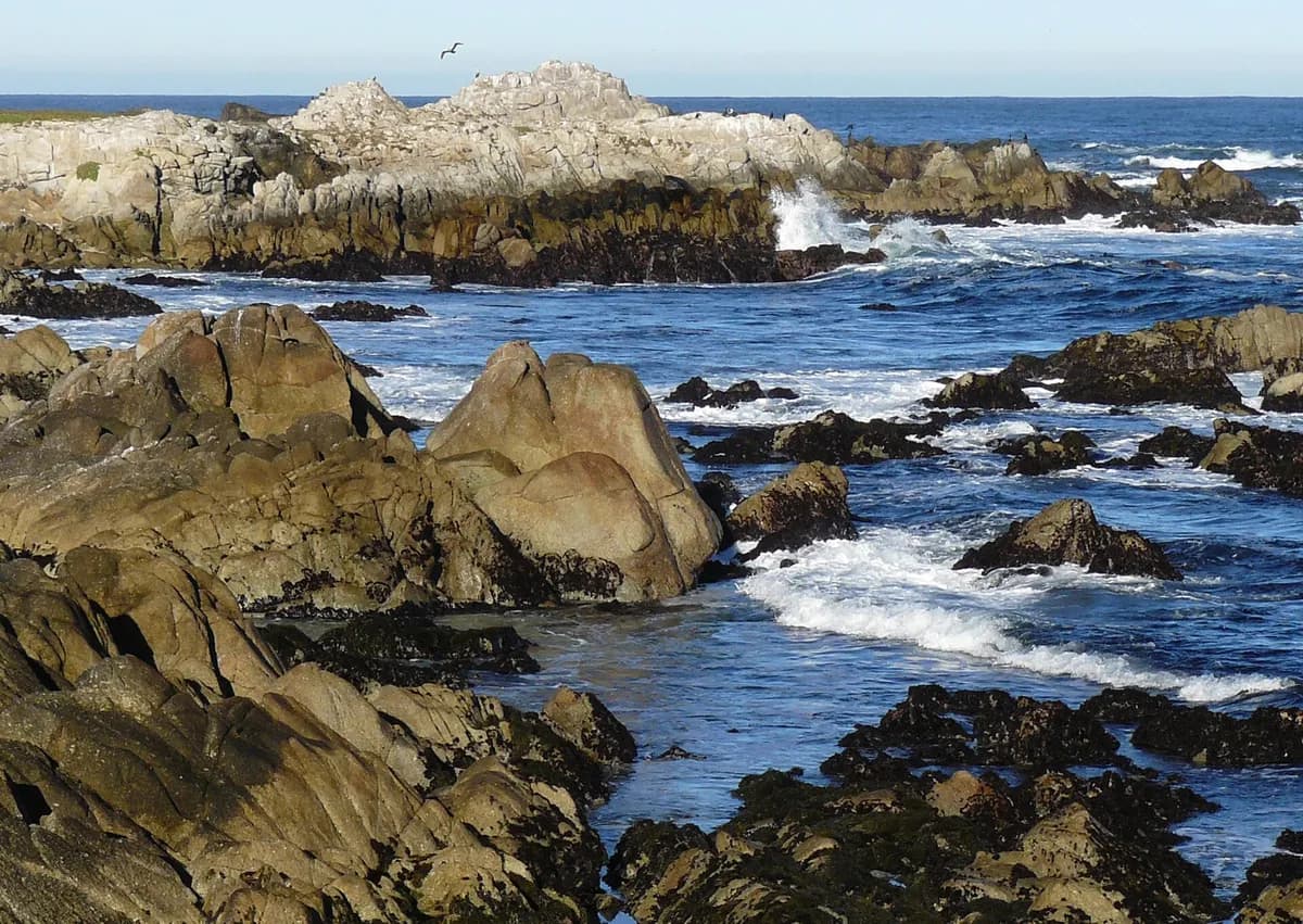 Asilomar State BeachAsilomar State Beach in Pacific Grove follows a rocky and sandy stretch of the Monterey Peninsula.