


Hayward Regional Shoreline
- Park
- Regional draw
- Hayward
Hayward Regional Shoreline protects marshes, tidal channels and open bayfront habitat.
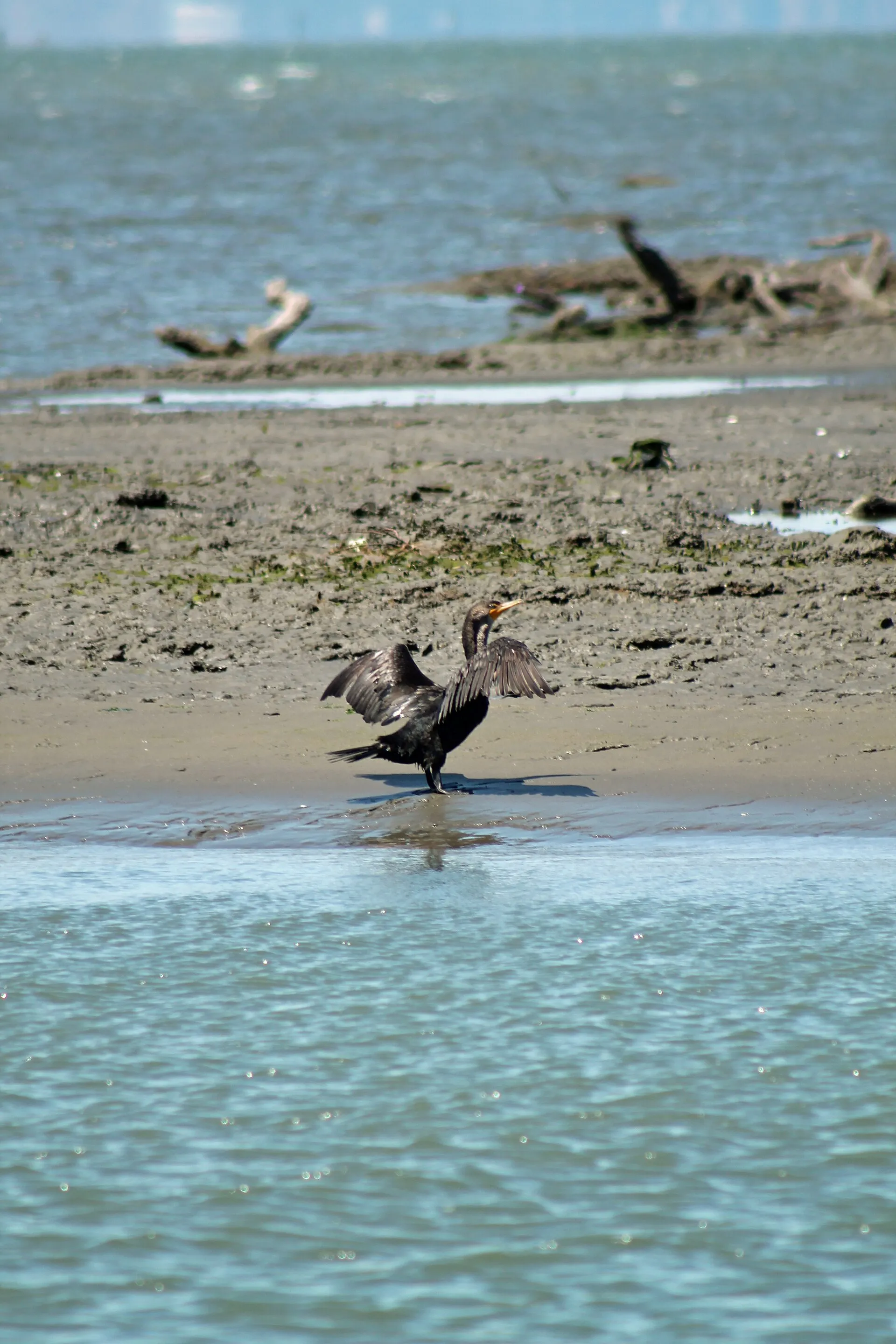
Trails offer opportunities to walk beside San Francisco Bay and observe birds using this changing meeting place of land and water.
The photograph shows a double-crested cormorant recorded at the shoreline during an earlier visit. Wildlife sightings and exposed mudflats vary with tides and season. Use current district maps for authorized access points and open routes, as restoration and maintenance can affect trail connections. Keep clear of sensitive habitat, follow posted dog restrictions and check weather, water conditions and accessibility before planning a longer outing.
Visitor details reviewed October 25, 2026. Check official visitor information for current access, admission, and operating arrangements. View on OpenStreetMap.
Image credit: Sarah Stierch / Wikimedia Commons. Original source. CC BY 4.0. Resized and converted to WebP; may be cropped for display.
Nearby
More places nearby
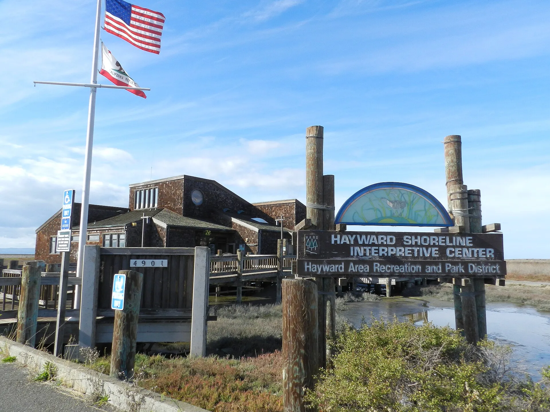 Hayward Shoreline Interpretive CenterHayward Shoreline Interpretive Center provides a starting point for learning about San Francisco Bay's tidal wetlands and shoreline habitats.
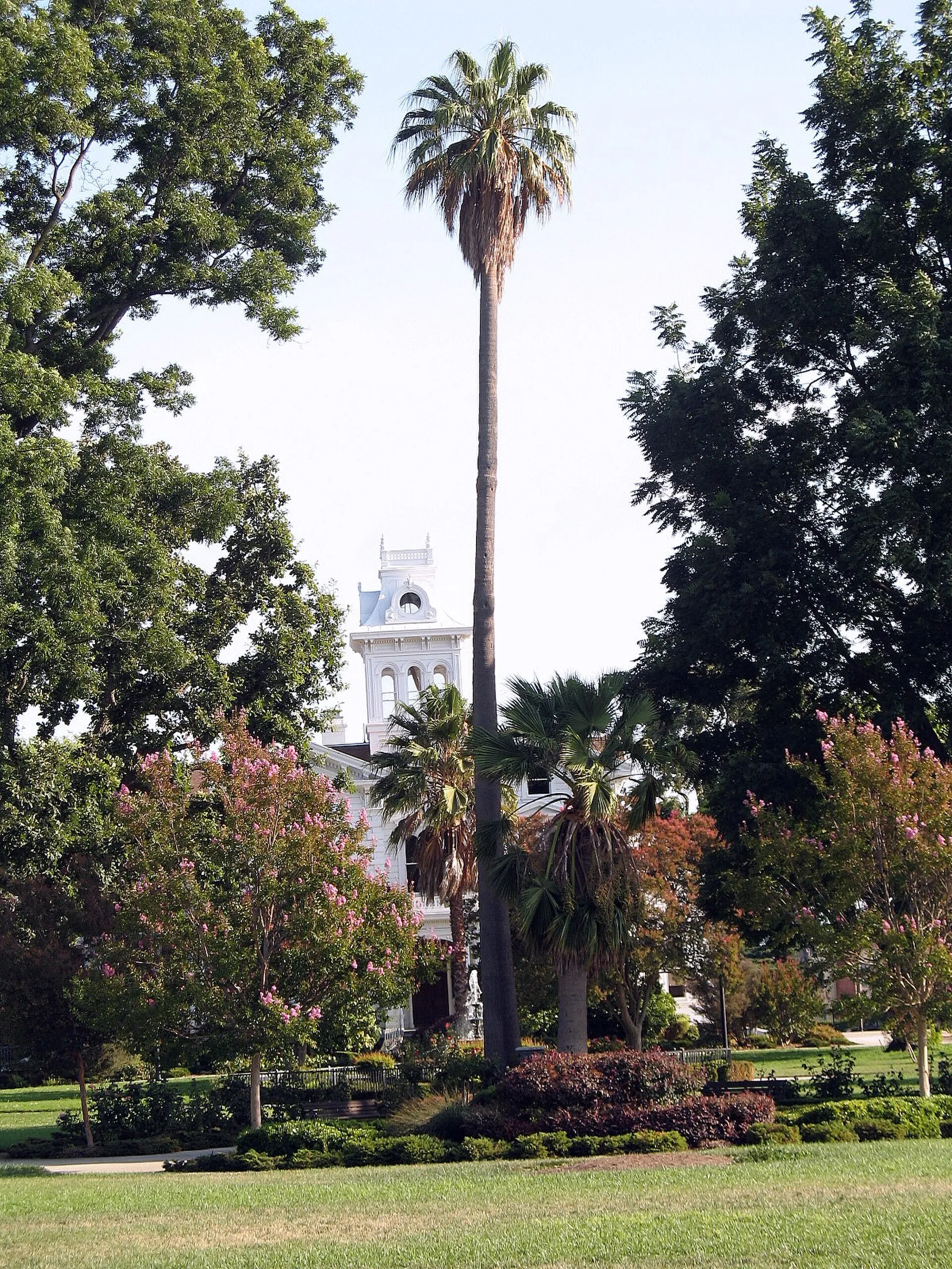 Meek Estate ParkMeek Estate Park surrounds a historic mansion in Cherryland, combining lawns, mature planting and family recreation space.
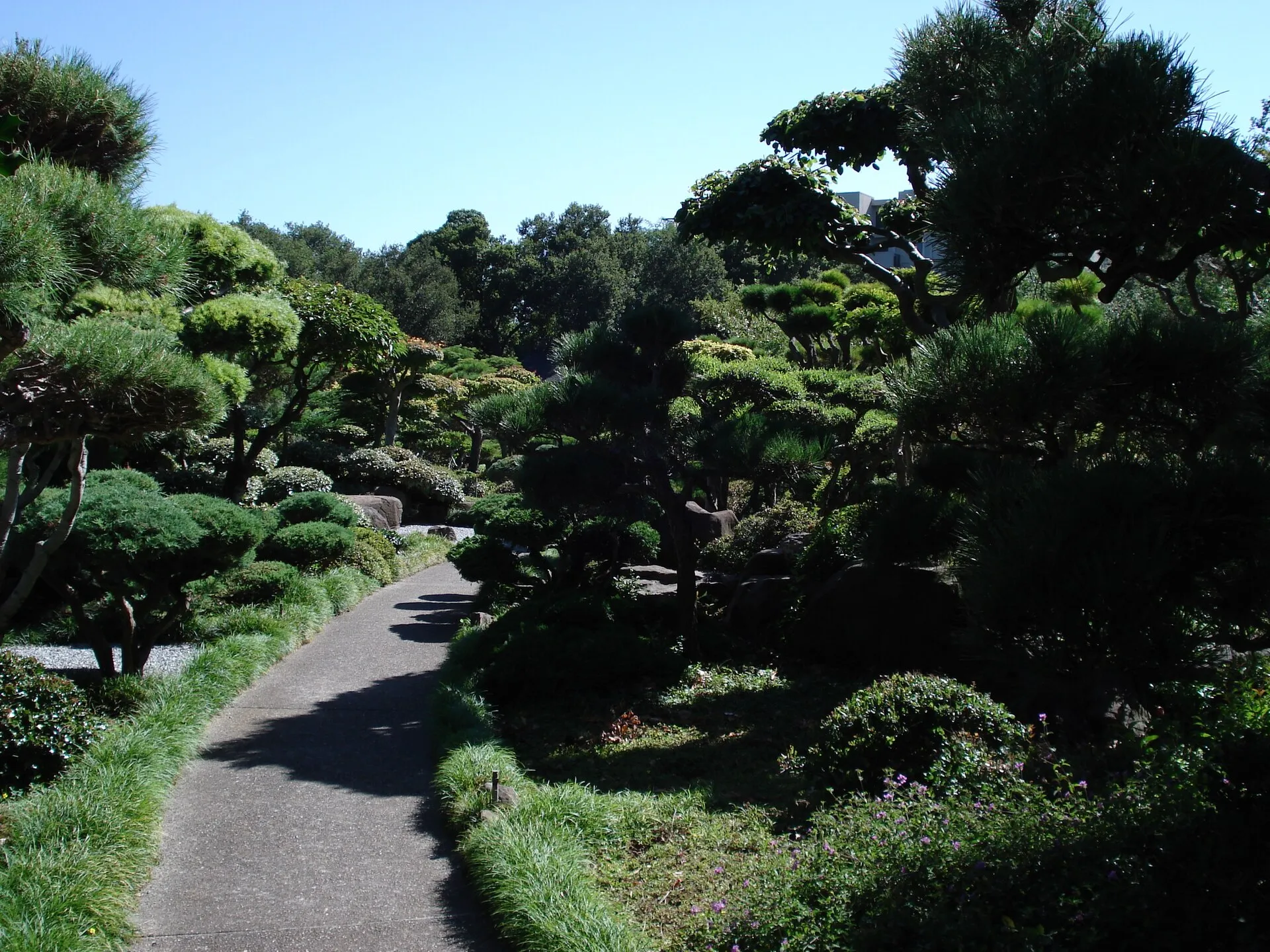 Hayward Japanese GardensHayward’s Japanese Gardens provide a landscaped garden visit beside the senior center on North Third Street.
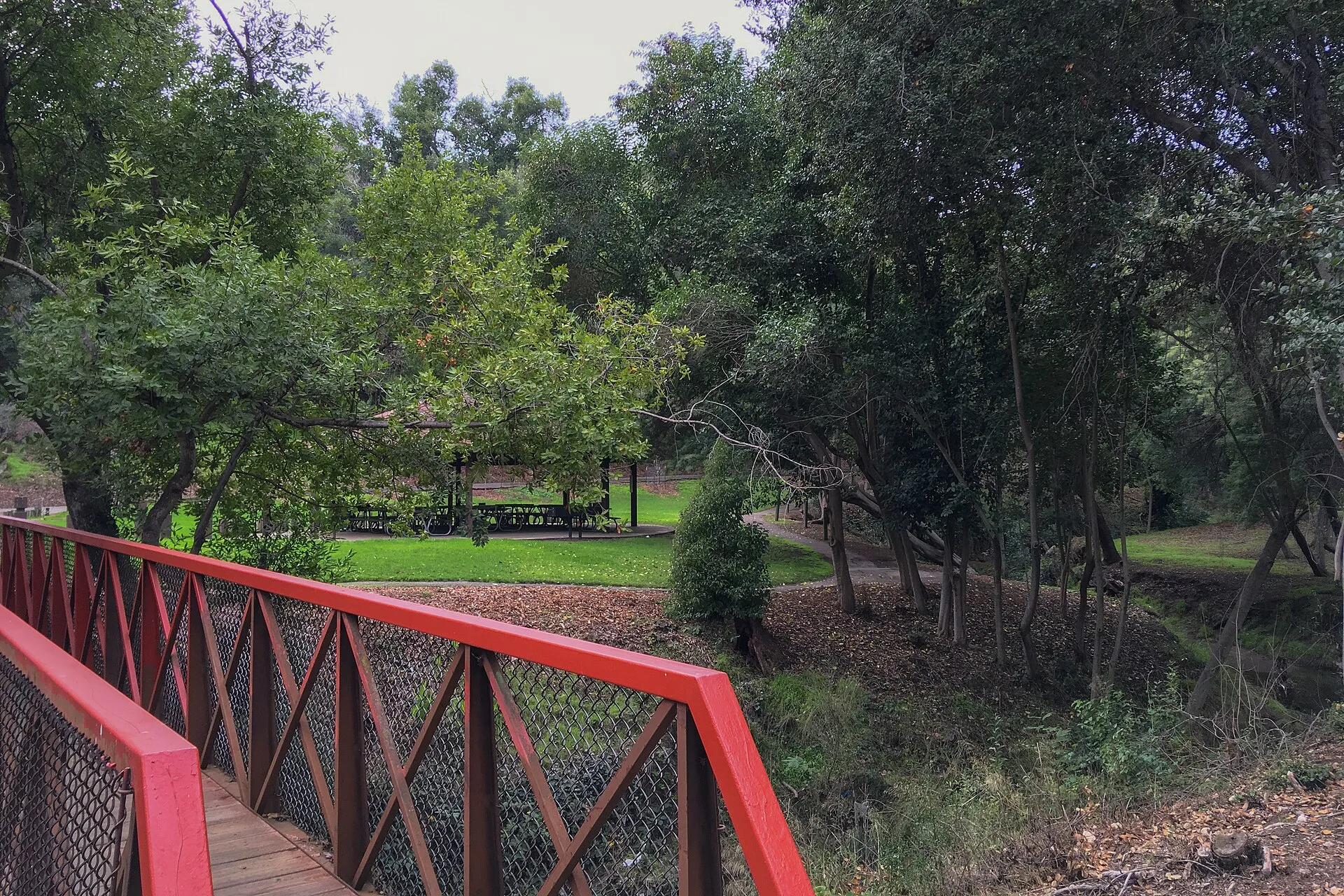 Carlos Bee ParkCarlos Bee Park provides a tree-lined recreation space in Castro Valley, with picnic areas, play facilities and paths set around a small creek landscape.
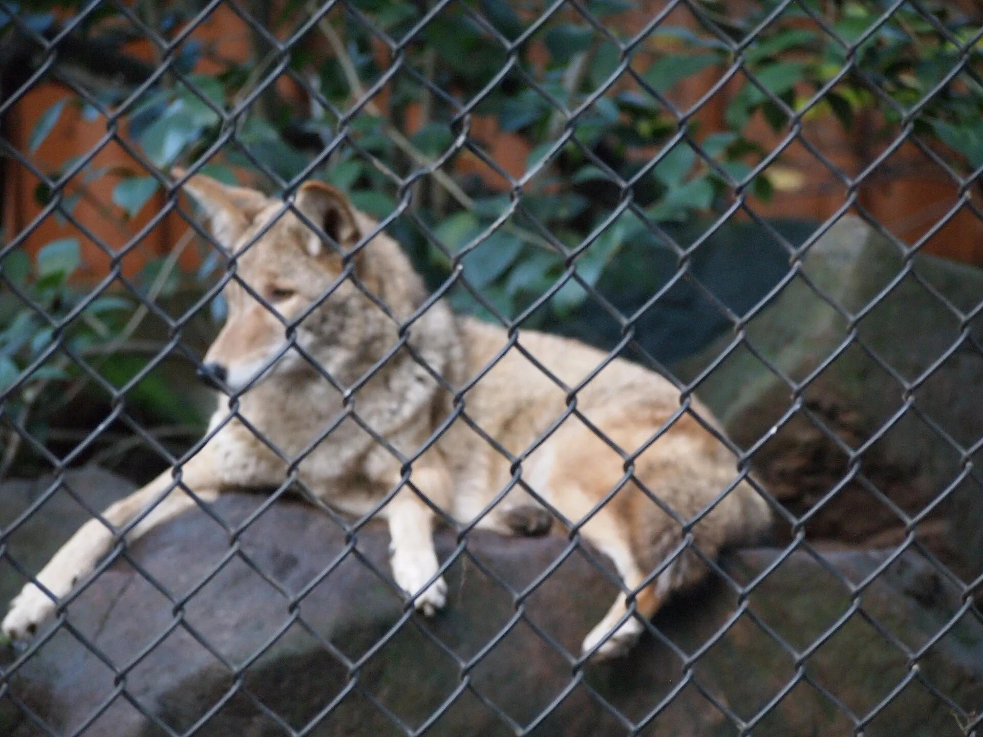 Sulphur Creek Nature CenterSulphur Creek Nature Center introduces native wildlife and environmental education in the Hayward hills.
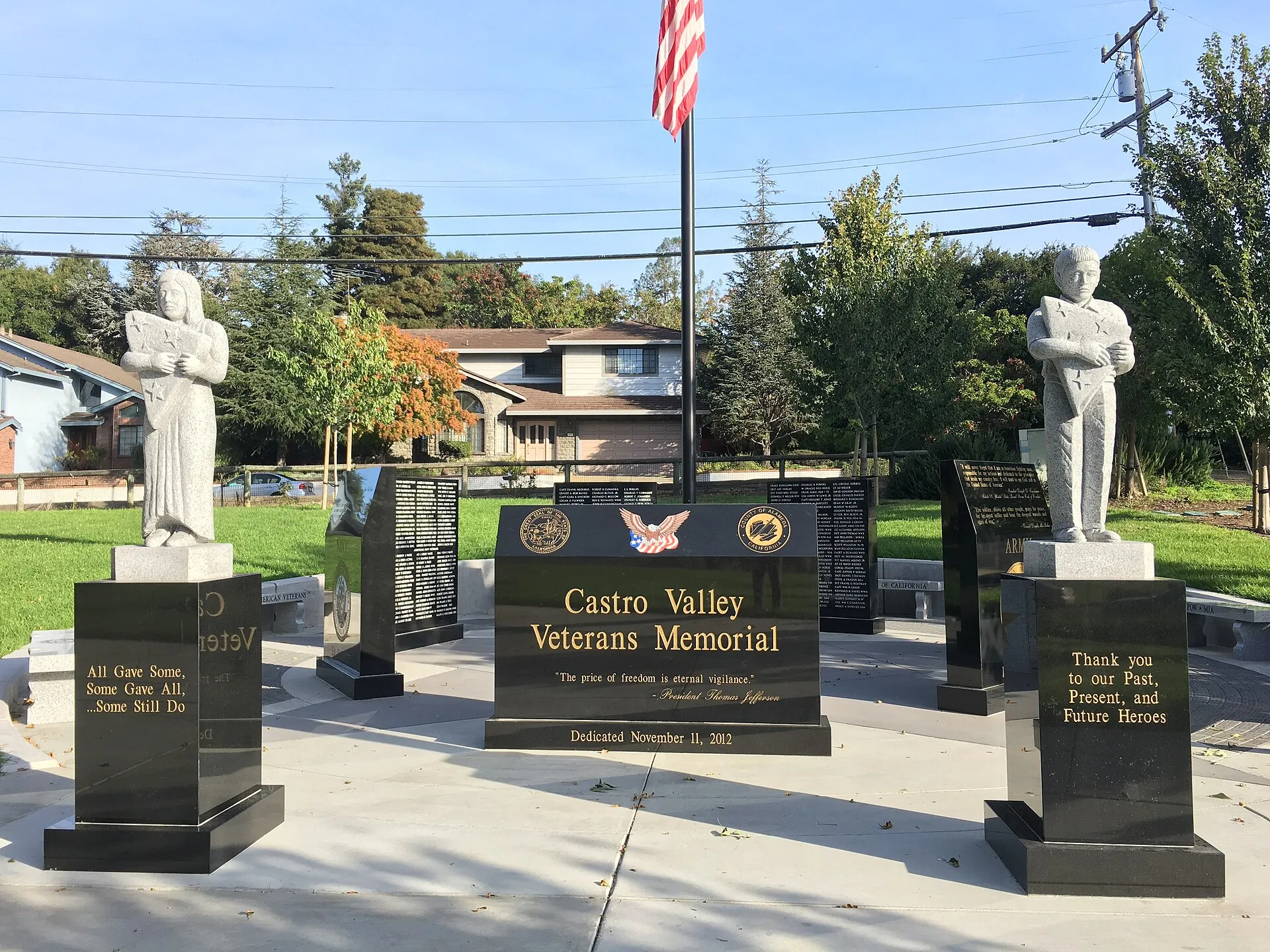 Castro Valley Community ParkCastro Valley Community Park brings sports fields, play space and community facilities together on Lake Chabot Road.