


Lovers Point Park
- Park
- Regional draw
- Pacific Grove
Lovers Point Park combines rocky shoreline, small beaches and landscaped picnic space in Pacific Grove.
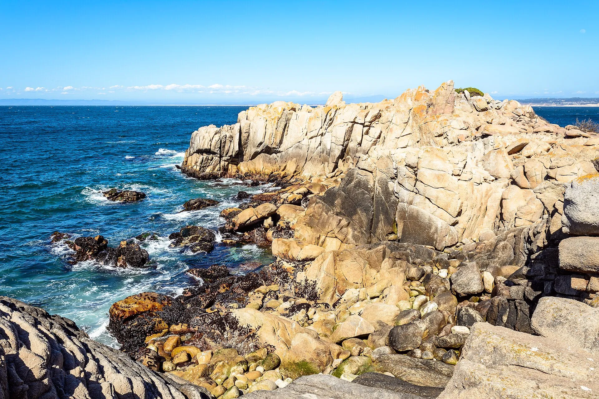
Its coastal setting offers Monterey Bay views and connections to the recreation trail. The photograph shows the actual rocks and ocean at Lovers Point.
Check current coastal conditions, beach notices and seasonal facilities before planning water activities. Swimming, surfing, rentals and organized gatherings each have their own requirements. Keep to authorized public access, supervise children near rocks and water, and leave wildlife undisturbed. Share the shoreline trail with other users and confirm parking restrictions before leaving a vehicle along Ocean View Boulevard.
Visitor details reviewed October 27, 2026. Consult primary place information for background, and confirm current access and operating arrangements before visiting. View on OpenStreetMap.
Image credit: dconvertini / Wikimedia Commons. Original source. CC BY-SA 2.0. Resized and converted to WebP and AVIF; may be cropped for display.
Nearby
More places nearby
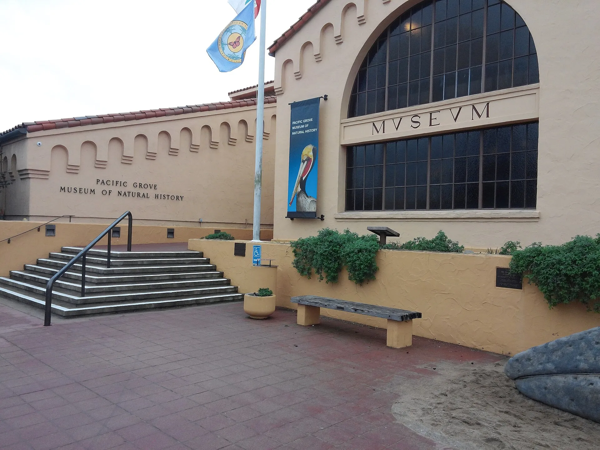 Pacific Grove Museum of Natural HistoryPacific Grove Museum of Natural History introduces the wildlife, plants and geology of the Monterey Peninsula.
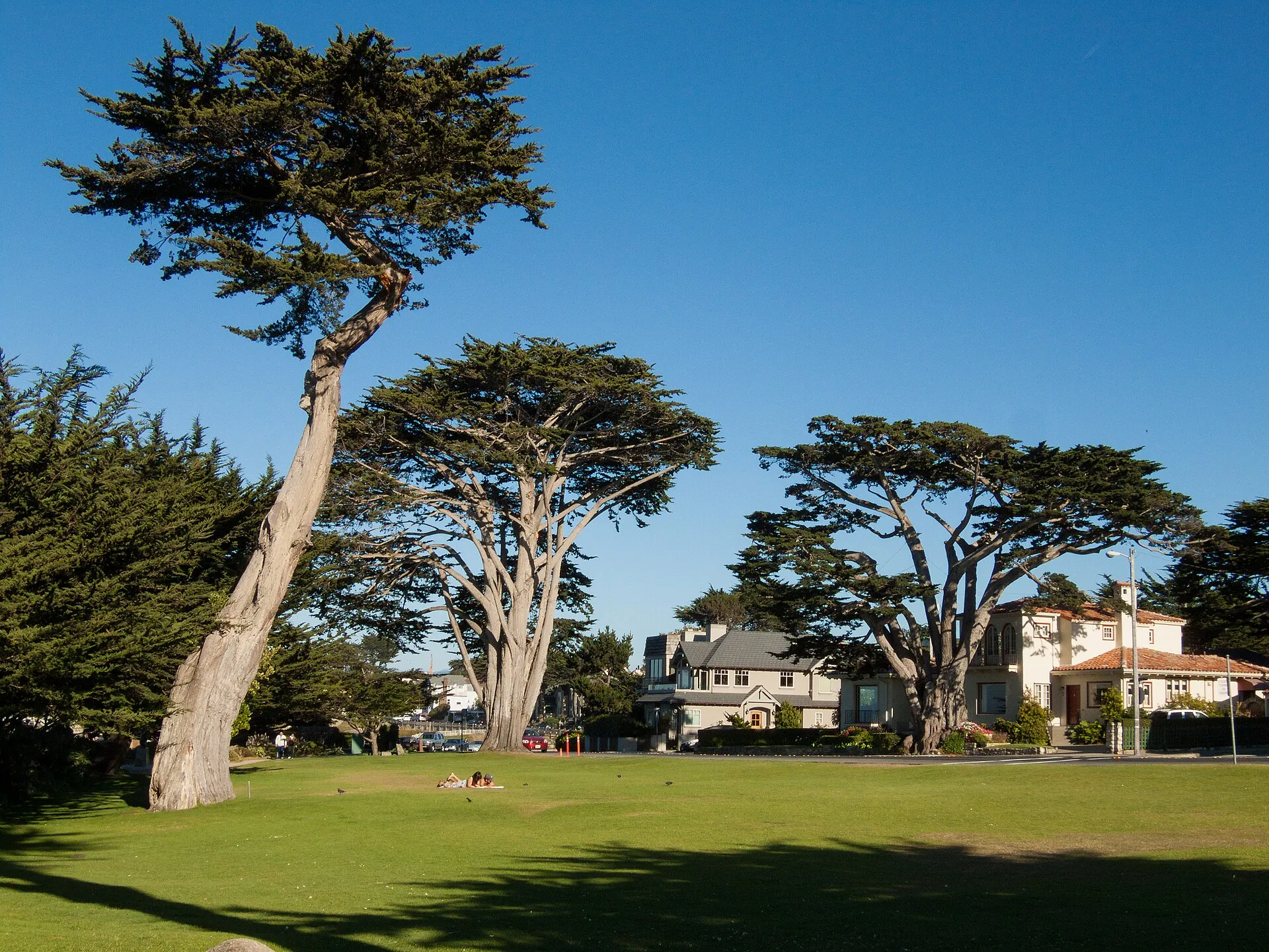 Berwick ParkBerwick Park offers an open shoreline setting along Ocean View Boulevard in Pacific Grove.
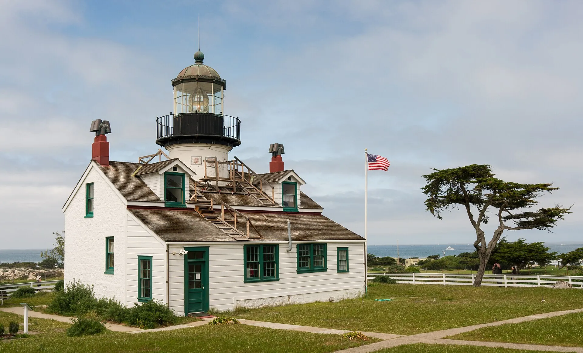 Point Pinos LighthousePoint Pinos Lighthouse in Pacific Grove combines an active navigational light with preserved domestic rooms and maritime interpretation.
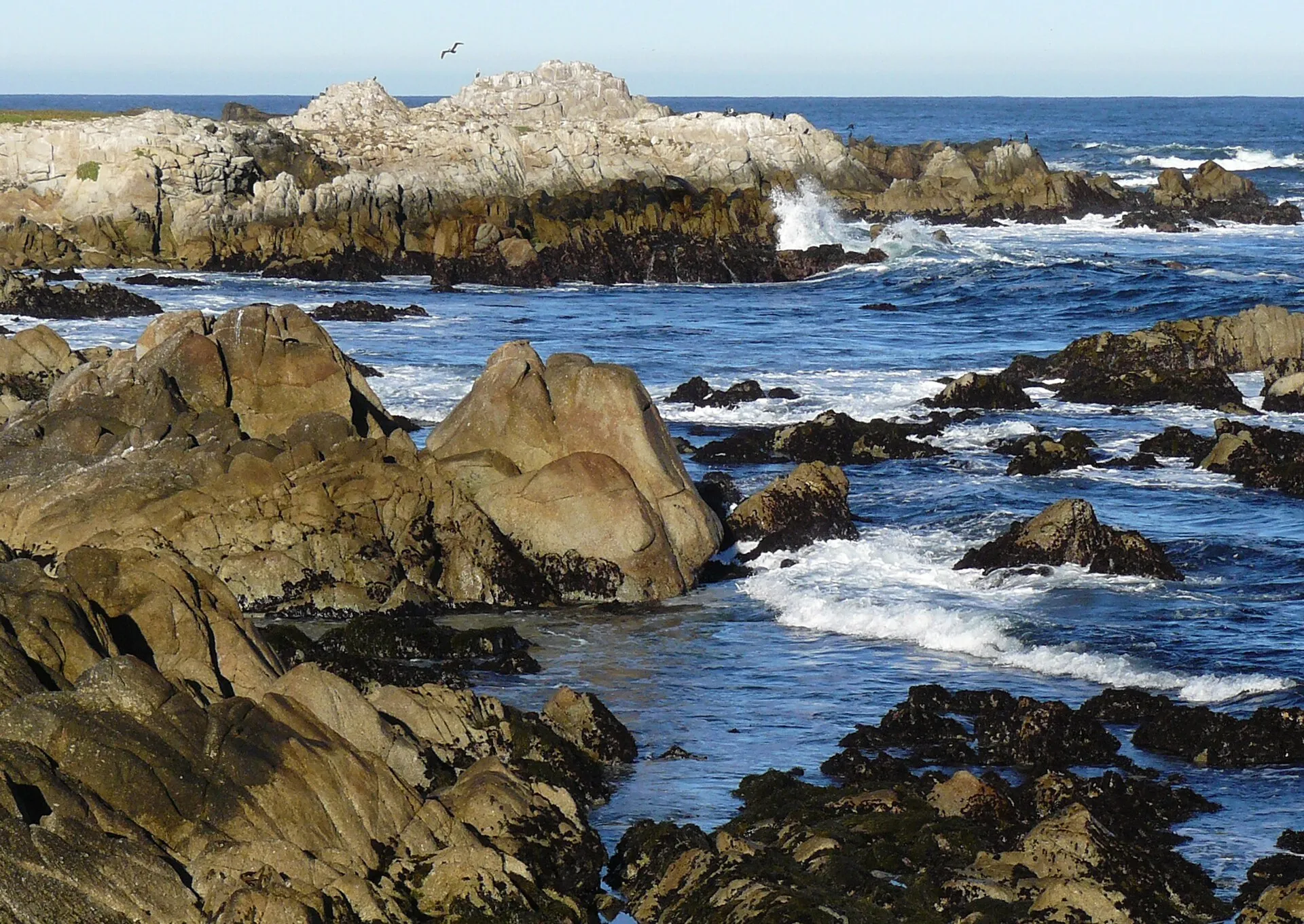 Asilomar State BeachAsilomar State Beach in Pacific Grove follows a rocky and sandy stretch of the Monterey Peninsula.
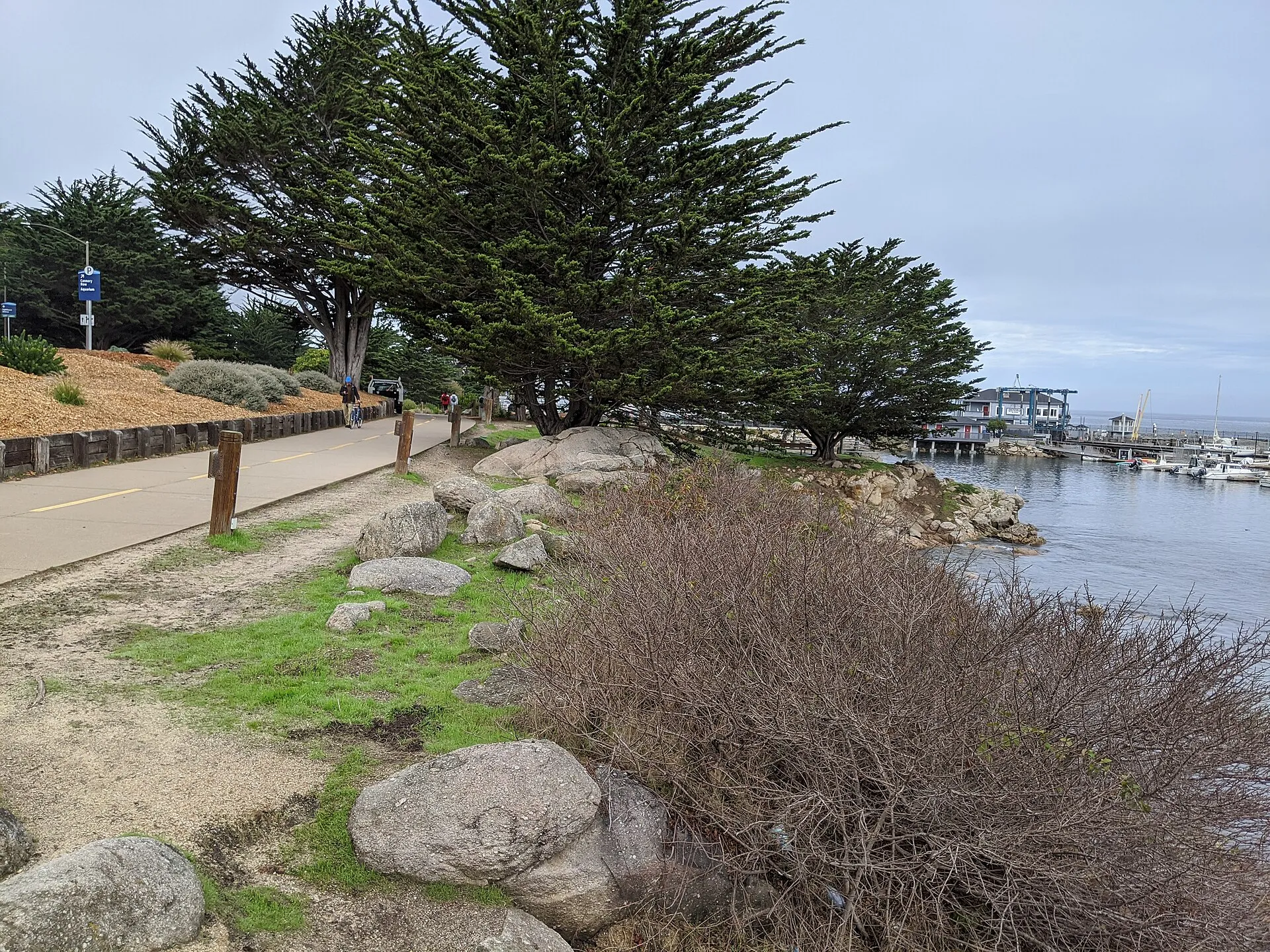 Fisherman’s Shoreline ParkFisherman’s Shoreline Park follows Monterey Bay between Fisherman’s Wharf and the Coast Guard pier area.
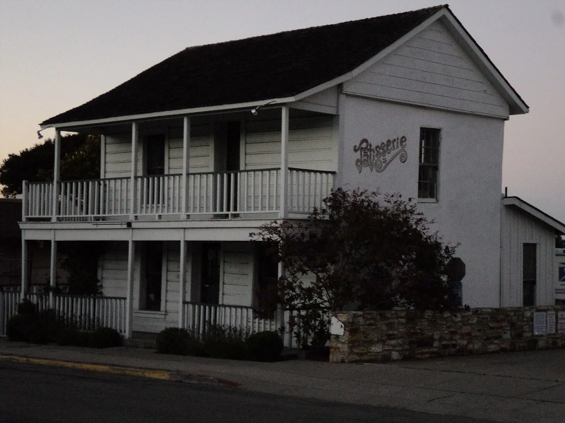 Monterey State Historic ParkMonterey State Historic Park brings a collection of historic buildings and gardens into the old town.