


ZIP code
ZIP 10538
Part of Larchmont, NY.
Loading map…
Cities in ZIP 10538
Nearby places
Places near ZIP 10538
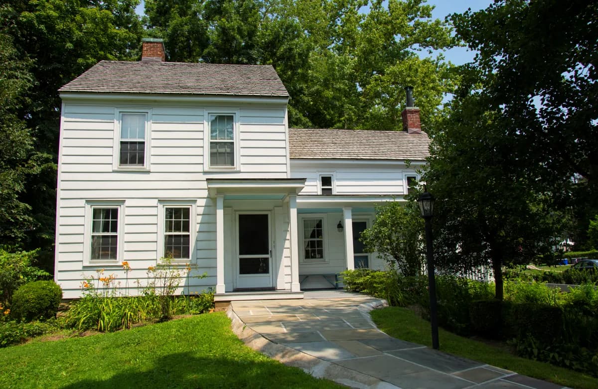 Thomas Paine Cottage MuseumThomas Paine Cottage Museum in New Rochelle preserves a home associated with the writer whose arguments helped shape the American Revolution.
 Thomas Paine MonumentThomas Paine Monument in New Rochelle commemorates the political writer and revolutionary thinker near the neighborhood where he spent his later years.
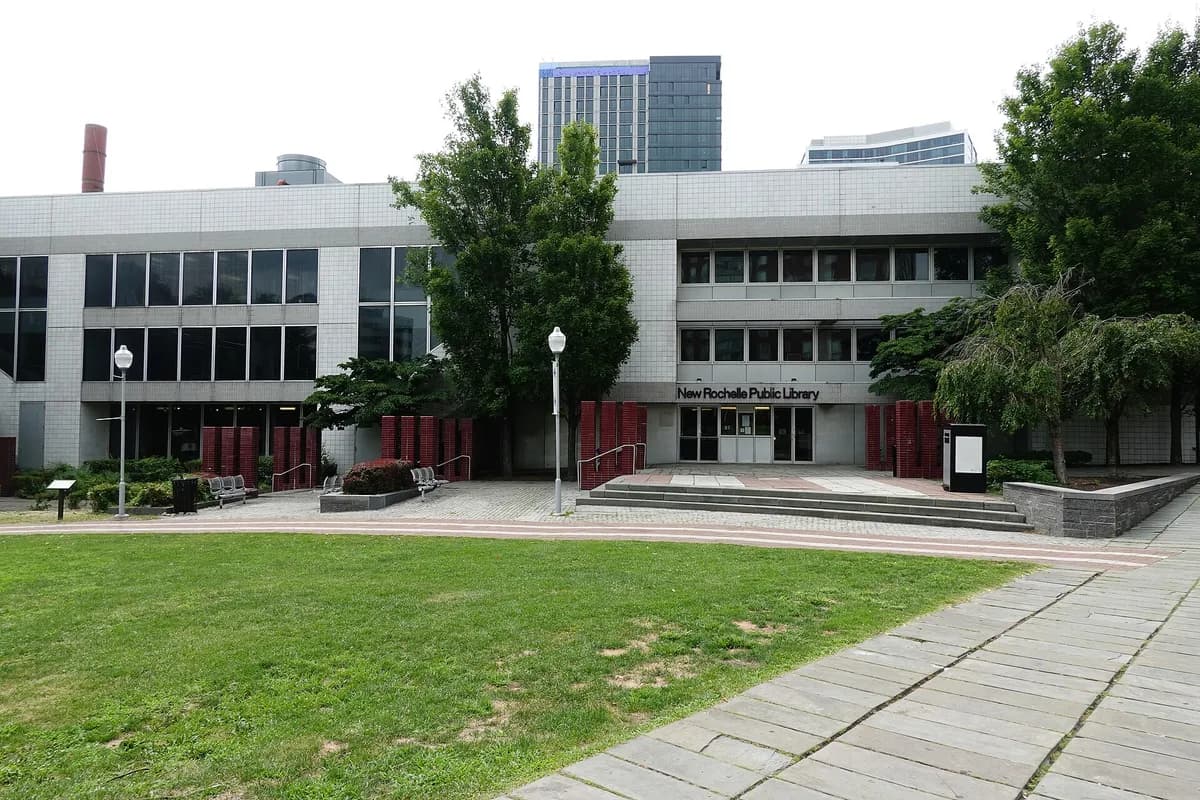 New Rochelle Public LibraryNew Rochelle Public Library provides reading, cultural programs and local-history resources in a central civic setting.
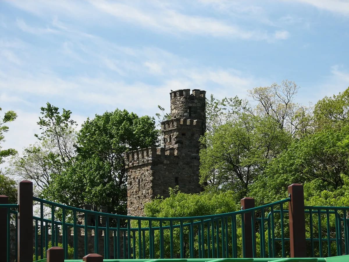 Glen Island ParkGlen Island Park occupies a waterfront landscape on Long Island Sound in New Rochelle.
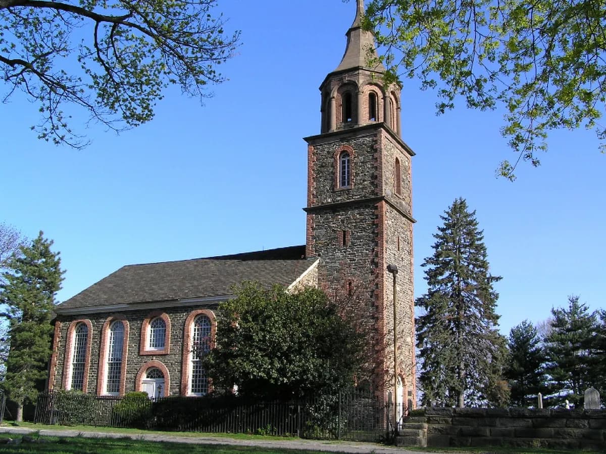 Saint Paul's Church National Historic SiteSaint Paul’s Church National Historic Site in Mount Vernon preserves a church, cemetery and interpretation of the surrounding community.
Nearby ZIP codes
Sources & data notesReferences, reporting periods, and how to use this information
Information on this page is compiled from multiple sources and provided for general information. It may be incomplete or out of date, and we do not guarantee its accuracy, completeness, or timeliness. Independently verify important details with the original source, relevant authority, or a qualified professional before making decisions.
Statistics keep their reporting periods. Survey estimates are not current asking prices or quotes for an individual property. Displayed values are rounded.
- ZIP boundariesU.S. Census Bureau ZCTAsCensus ZIP Code Tabulation Areas approximate postal delivery areas and may cross city and neighborhood boundaries. Neighborhood footprints are approximate.