


ZIP code
ZIP 21210
Part of Baltimore, MD.
Loading map…
Cities in ZIP 21210
Nearby places
Places near ZIP 21210
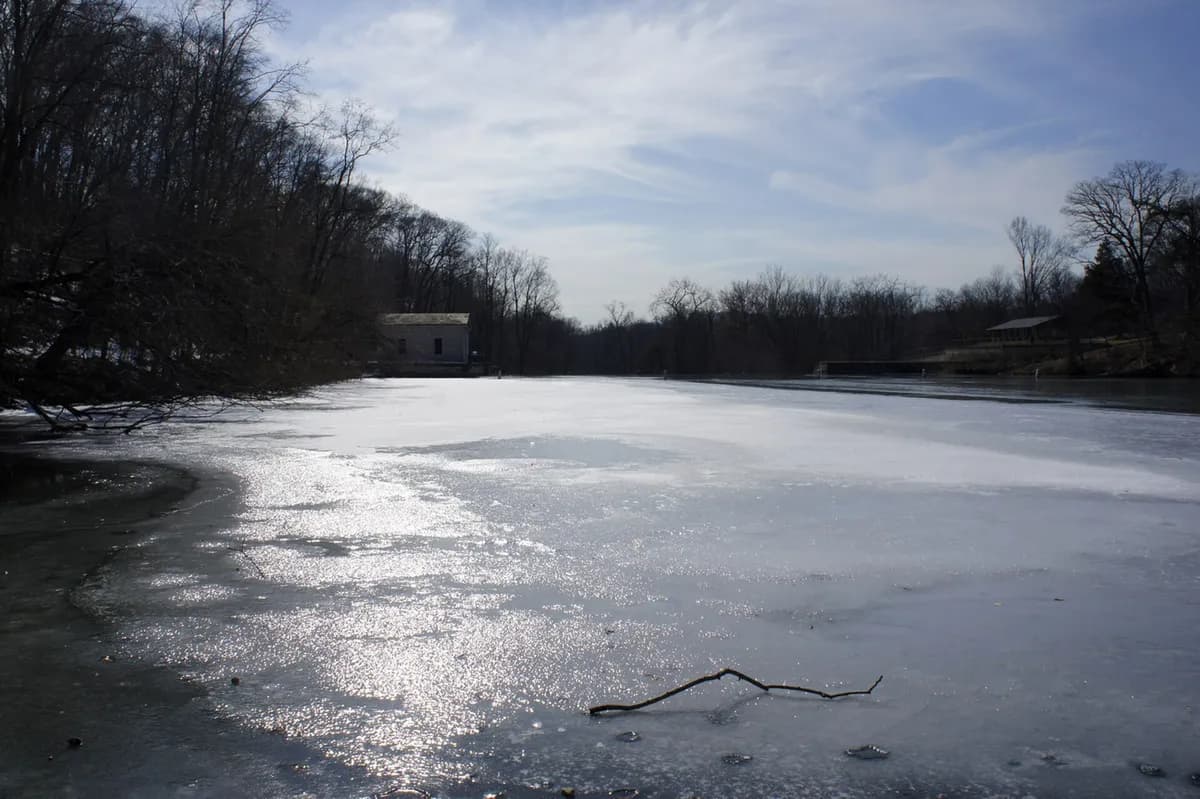 Lake Roland ParkLake Roland provides a large outdoor recreation landscape in Baltimore County near Towson.
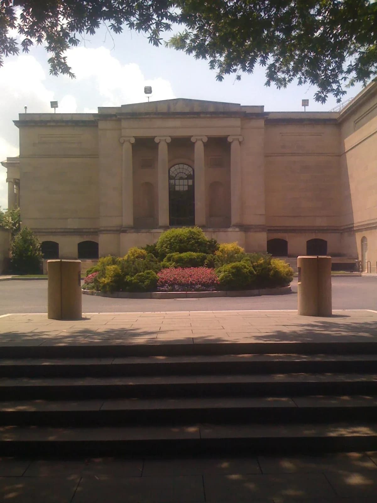 Baltimore Museum of ArtThe Baltimore Museum of Art combines a broad collection with a strong presence of modern and contemporary work near Johns Hopkins University.
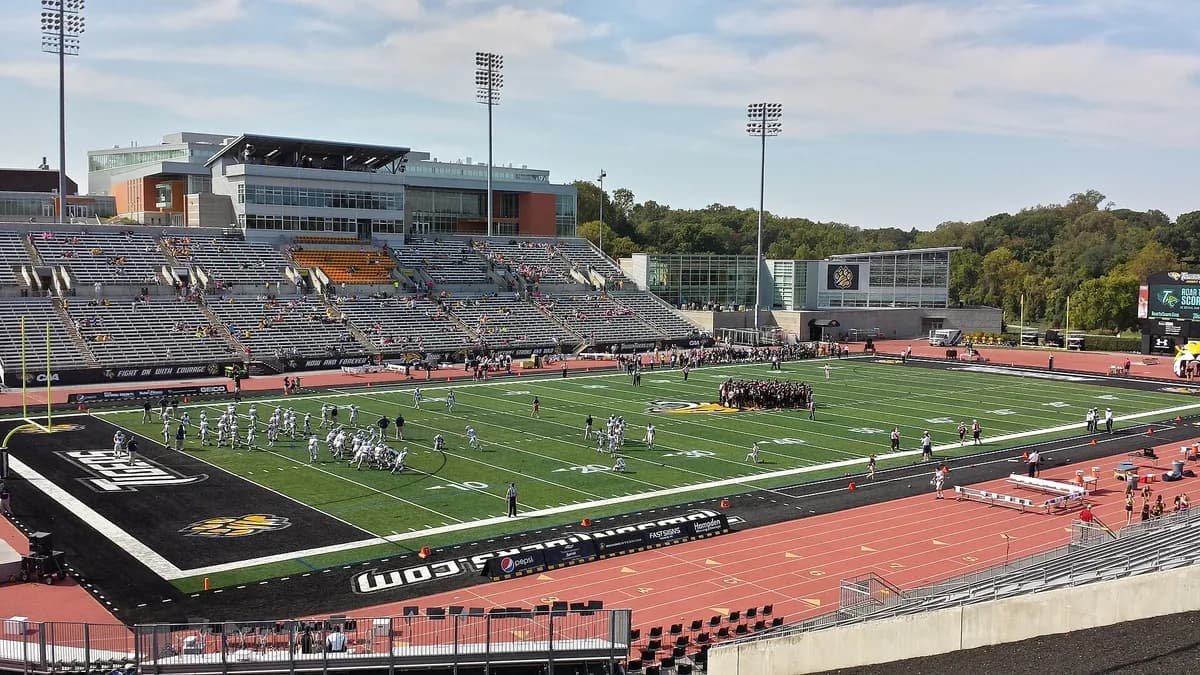 Johnny Unitas StadiumJohnny Unitas Stadium is an outdoor athletics venue on Towson University’s campus.
 Rawlings ConservatoryThe Rawlings Conservatory brings tropical, desert, and other plant environments into a historic glasshouse complex in Baltimore's Druid Hill Park.
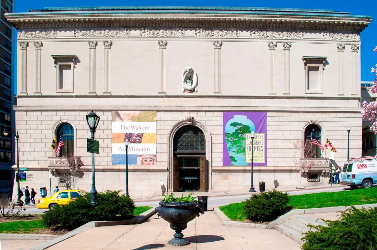 Walters Art MuseumThe Walters Art Museum in Baltimore brings together art and objects from different regions and periods, from the ancient world to later painting and decorative arts.
 Fire Museum of MarylandFire Museum of Maryland presents firefighting history in Lutherville, with historic equipment and interpretation connecting changes in technology with the work of fire service.
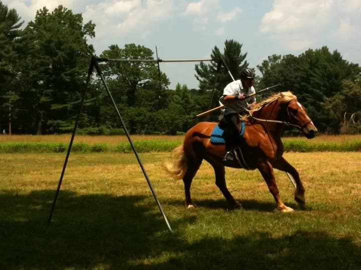 Hampton National Historic SiteHampton National Historic Site preserves an estate landscape in Baltimore County’s Hampton community near Towson.
 National Museum of Railroad History and InnovationThe National Museum of Railroad History and Innovation, formerly the B&O Railroad Museum, interprets American rail history at Baltimore's historic Mount Clare site.
Nearby ZIP codes
Sources & data notesReferences, reporting periods, and how to use this information
Information on this page is compiled from multiple sources and provided for general information. It may be incomplete or out of date, and we do not guarantee its accuracy, completeness, or timeliness. Independently verify important details with the original source, relevant authority, or a qualified professional before making decisions.
Statistics keep their reporting periods. Survey estimates are not current asking prices or quotes for an individual property. Displayed values are rounded.
- ZIP boundariesU.S. Census Bureau ZCTAsCensus ZIP Code Tabulation Areas approximate postal delivery areas and may cross city and neighborhood boundaries. Neighborhood footprints are approximate.