


ZIP code
ZIP 55117
Part of Little Canada, MN.
Loading map…
Cities in ZIP 55117
Nearby places
Places near ZIP 55117
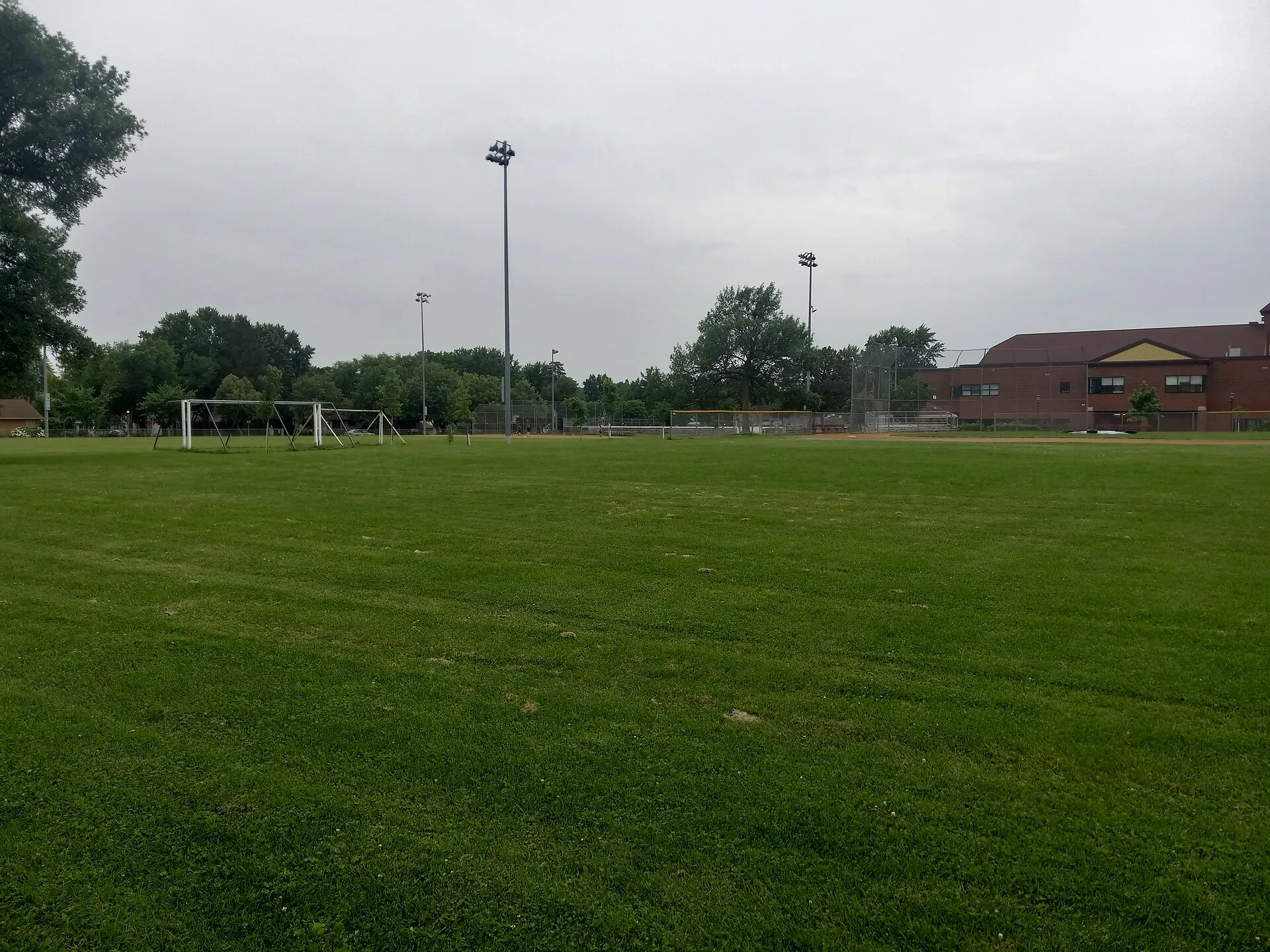 Dale Playground, Saint PaulDale Playground forms part of the outdoor recreation setting beside North Dale Recreation Center in Saint Paul.
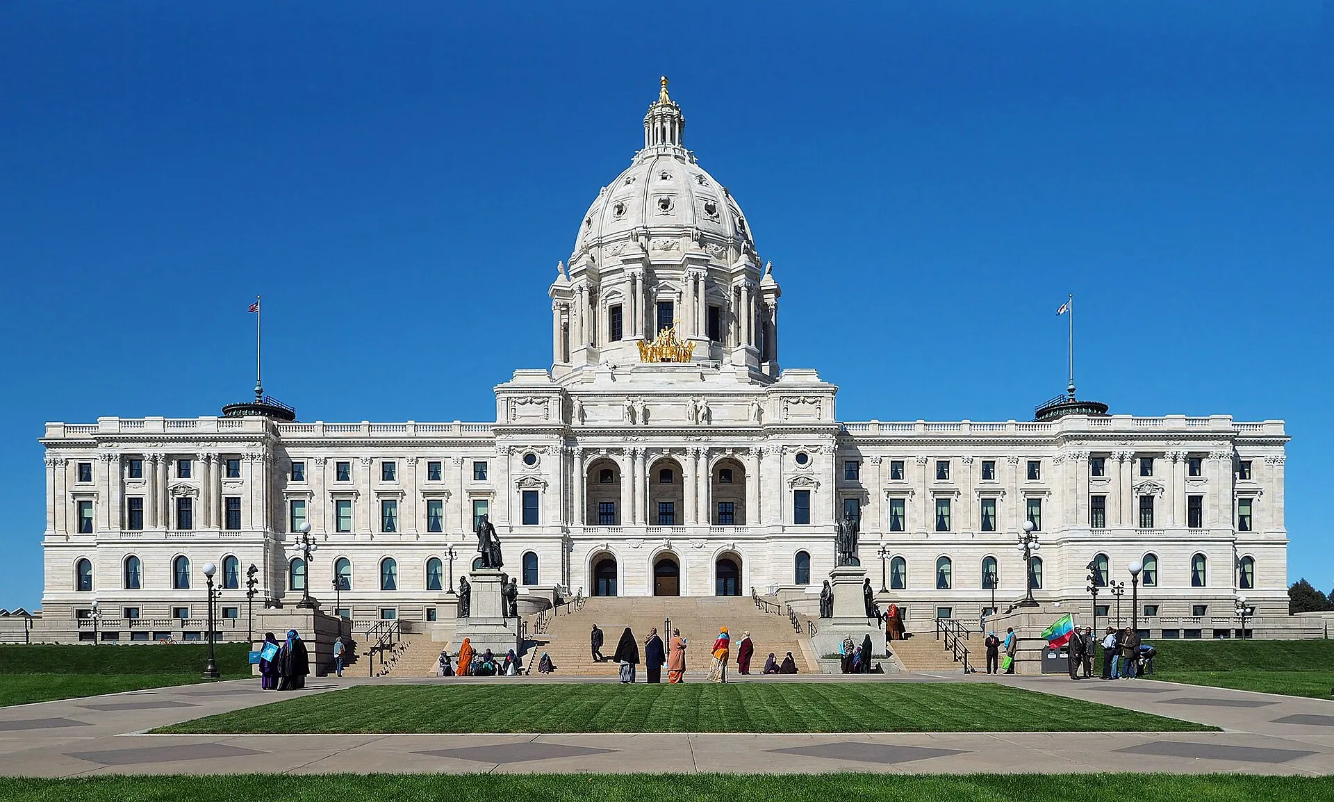 Minnesota State CapitolMinnesota State Capitol combines working government spaces with significant architecture, art, and public interpretation in Saint Paul.
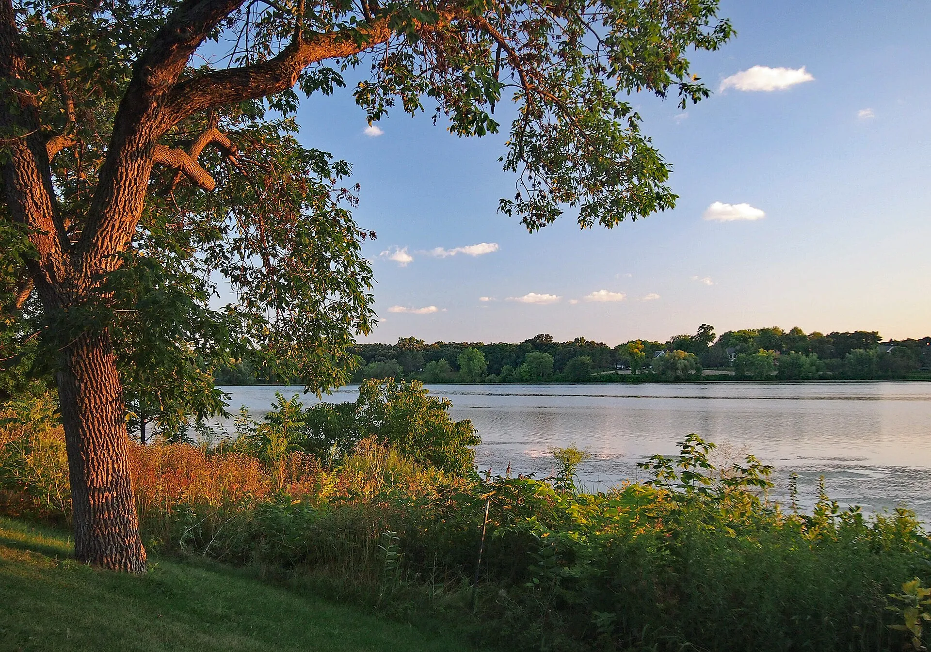 Como Regional ParkComo Regional Park in Saint Paul combines Como Lake, landscaped grounds and a wider cluster of recreation and cultural facilities.
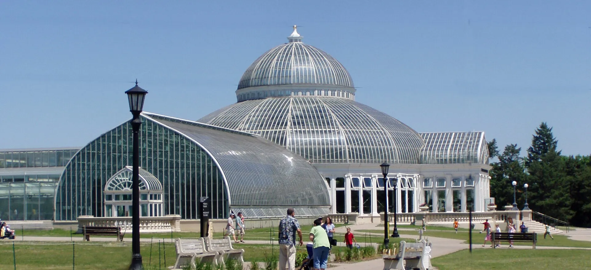 Como Park Zoo and ConservatorySaint Paul's Como destination brings a zoo and the Marjorie McNeely Conservatory into the setting of a much larger public park. The combination allows visitors to move between animal habitats and carefully maintained plant displays within one outing.
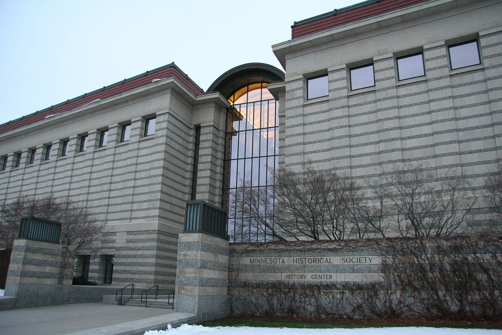 Minnesota History CenterThe Minnesota History Center brings state history exhibitions and the Minnesota Historical Society's research role together near downtown Saint Paul. It offers visitors a place to connect individual stories with the broader development of Minnesota.
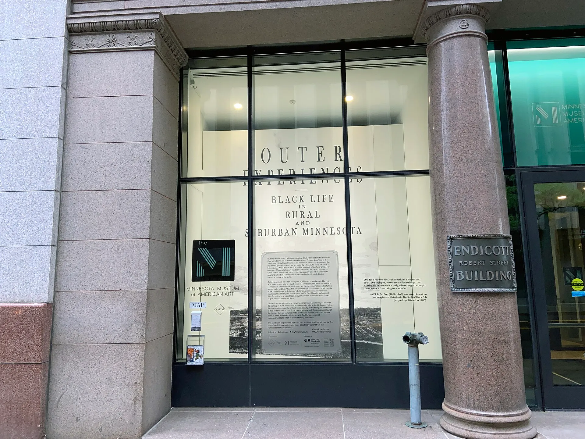 Minnesota Museum of American ArtMinnesota Museum of American Art, known as the M, presents American art in Saint Paul's historic Pioneer Endicott building.
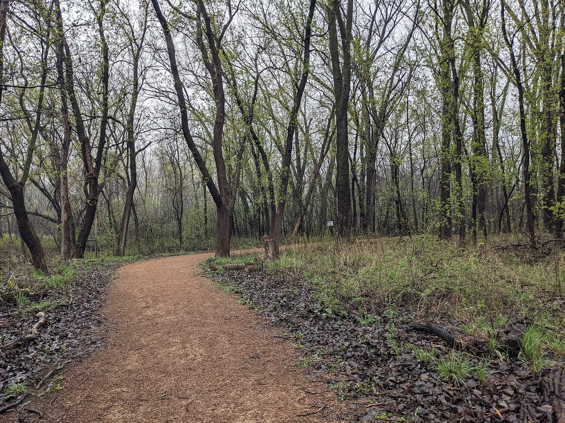 Cottontail ParkCottontail Park in Roseville is a small wooded natural space with an unpaved walking trail.
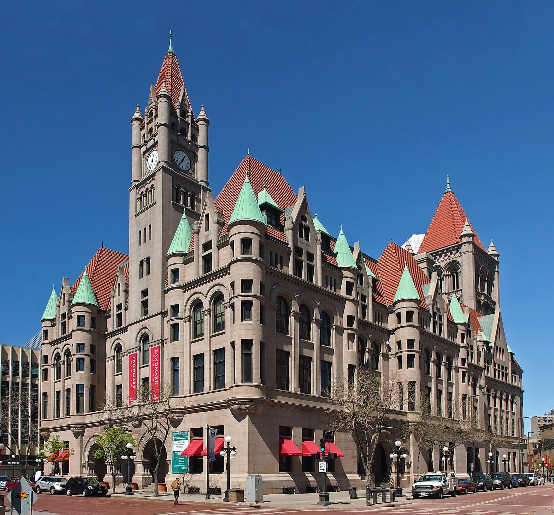 Landmark CenterLandmark Center occupies a richly detailed former federal courthouse, post office, and customs building in downtown Saint Paul.
Nearby ZIP codes
Sources & data notesReferences, reporting periods, and how to use this information
Information on this page is compiled from multiple sources and provided for general information. It may be incomplete or out of date, and we do not guarantee its accuracy, completeness, or timeliness. Independently verify important details with the original source, relevant authority, or a qualified professional before making decisions.
Statistics keep their reporting periods. Survey estimates are not current asking prices or quotes for an individual property. Displayed values are rounded.
- ZIP boundariesU.S. Census Bureau ZCTAsCensus ZIP Code Tabulation Areas approximate postal delivery areas and may cross city and neighborhood boundaries. Neighborhood footprints are approximate.