


ZIP code
ZIP 61201
Part of Blackhawk Township, IL.
Loading map…
Cities in ZIP 61201
Nearby places
Places near ZIP 61201
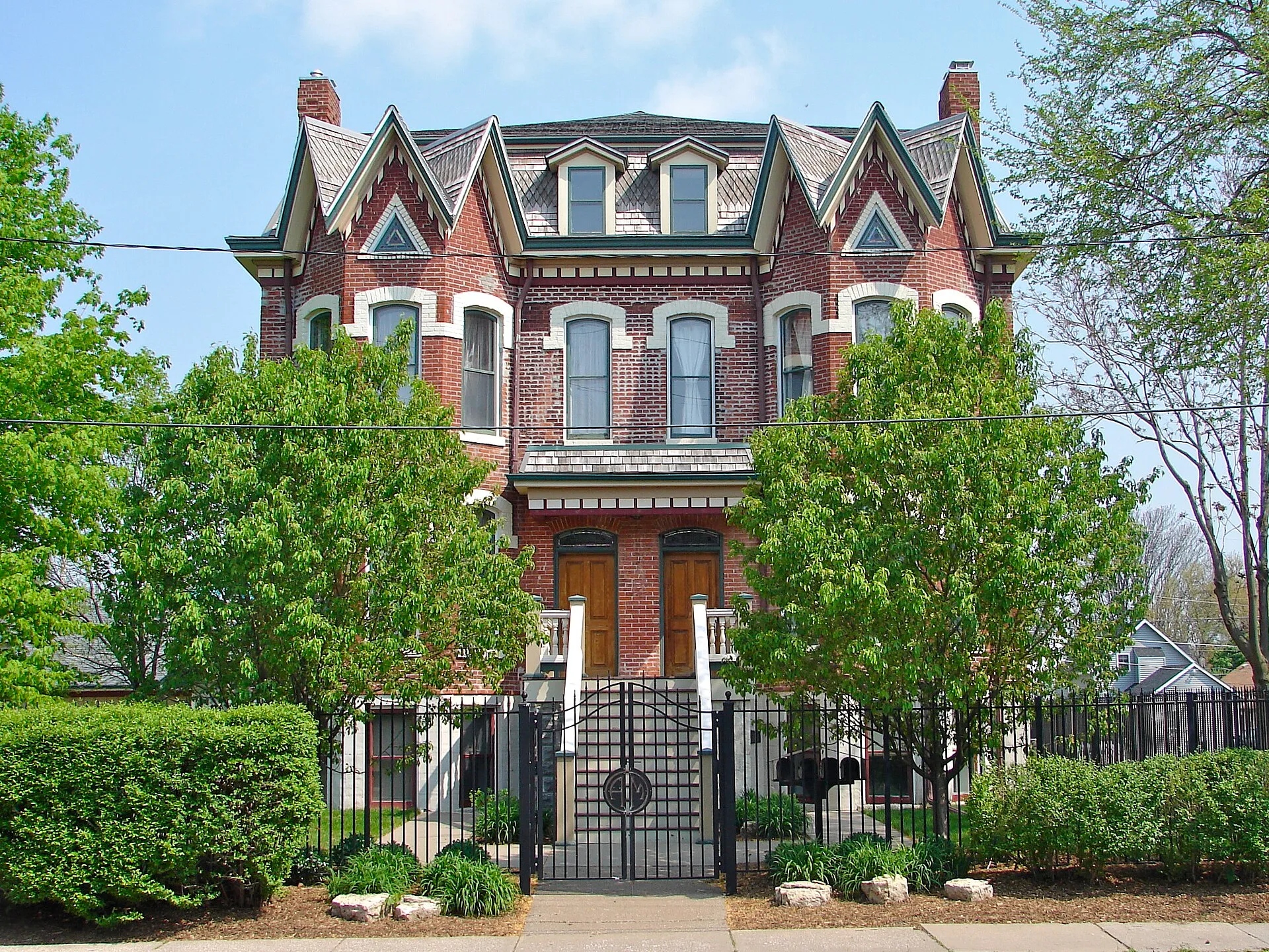 Broadway Historic District, Rock IslandBroadway Historic District in Rock Island preserves a large neighborhood of Victorian houses and later historic buildings.
 Old Main, Augustana CollegeOld Main is a defining building of Augustana College in Rock Island.
 Vibrant Arena at The MARKVibrant Arena at The MARK is Moline’s major indoor sports and entertainment venue beside the Mississippi River.
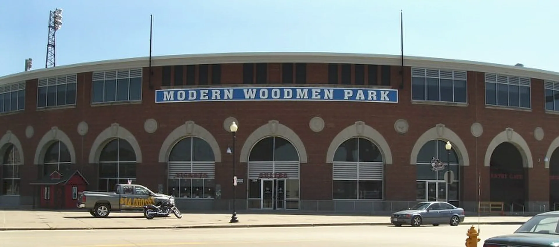 Modern Woodmen ParkModern Woodmen Park is Davenport’s riverfront baseball stadium and the home of the Quad Cities River Bandits.
 Rock Island Arsenal MuseumRock Island Arsenal Museum explores the history of Arsenal Island and the people and manufacturing processes that supported Army production.
 Figge Art MuseumFigge Art Museum stands beside the Mississippi River in downtown Davenport.
 Rock Island National CemeteryRock Island National Cemetery is a place of remembrance within the Arsenal Island military installation.
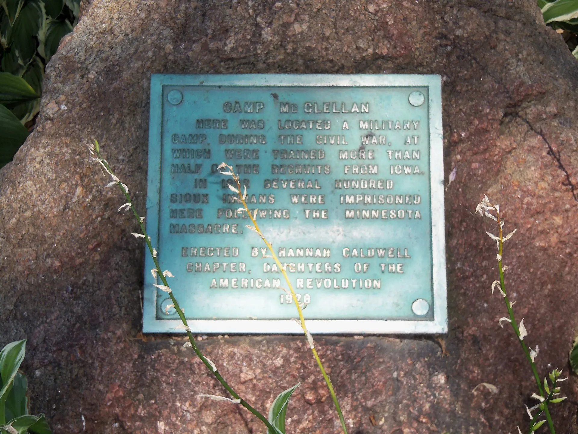 Lindsay ParkLindsay Park combines Mississippi River views with recreation grounds beside the Village of East Davenport.
Nearby ZIP codes
Sources & data notesReferences, reporting periods, and how to use this information
Information on this page is compiled from multiple sources and provided for general information. It may be incomplete or out of date, and we do not guarantee its accuracy, completeness, or timeliness. Independently verify important details with the original source, relevant authority, or a qualified professional before making decisions.
Statistics keep their reporting periods. Survey estimates are not current asking prices or quotes for an individual property. Displayed values are rounded.
- ZIP boundariesU.S. Census Bureau ZCTAsCensus ZIP Code Tabulation Areas approximate postal delivery areas and may cross city and neighborhood boundaries. Neighborhood footprints are approximate.