


Neighborhood in Albuquerque · Bernalillo County
Los Duranes
Los Duranes, north of Old Town, grew from family farms into a neighborhood of winding roads and homes built at different times.
Photo 1 of 1

Los Duranes Chapel on Indian School Road NW, photographed in September 2012.
Los Duranes Chapel on Indian School Road NW, photographed in September 2012.
Creator: Roland Penttila
License: CC BY-SA 3.0
Roland Penttila
Changes: Resized and converted to WebP/AVIF. No content edits.
Family names on the roads, a rescued chapel and wheelchair basketball on Leopoldo
About Los Duranes
Los Duranes, north of Old Town, grew from family farms into a neighborhood of winding roads and homes built at different times. The restored village chapel and the community center on Leopoldo offer two ways into its local life.
StrollPlace walkability
36/ 100
The middle 80% of residents in the estimate lived on blocks that scored 25–51.
Estimated access on foot to everyday destinations.
About this estimate
Destinations include groceries, pharmacies, parks, transit stops, cafés, restaurants, shops and schools. The range covers the middle 80% of residents in the estimate.
We estimate the walking distance from each populated Census block’s reference point to the nearest mapped place in each category. A walk of five minutes or less earns full credit. Credit falls to zero at 20 minutes. Groceries count for the most. The area score weights each sampled block by its Census population.
We could route from 37 blocks representing 96% of the area’s reference population. The model estimates route distance and uses a fixed walking speed. Sidewalk condition, shade, and crossing comfort are outside this version’s scope.
The road names belonged to people here
Los Luceros, Gabaldon, Montoya, Zickert and Rice are more than directions through Los Duranes. The neighborhood association’s history connects those street names to families who owned larger tracts of land. As fields were divided for houses, the older pattern remained visible in the roads and lots.
Interstate 40 cut the community off from Old Town in the 1960s, taking houses and fields with it. The short distance between the two places on a map can conceal that rupture. Los Duranes has its own village history north of the highway.
Neighbors repaired the chapel’s cracked walls
At 2601 Indian School Road NW, the late nineteenth-century Los Duranes Chapel combines earth walls with a pitched metal roof and a small wooden bell tower. Residents restored the deteriorating building in the 1980s, after serious cracking in its walls.
In the surrounding houses, stucco finishes and metal casement windows reflect a later building wave. Many homes date from the twentieth century, even though the village is much older. The chapel is a landmark to notice from the street, with interior access dependent on its current arrangements.
A court game and a small clay sculpture share an address
Los Duranes Community Center at 2920 Leopoldo NW lists wheelchair basketball and polymer clay art alongside its other programs. A full-size gym, dance room and arts-and-crafts room let the building accommodate very different kinds of practice.
The city requires a free community-center membership, renewed yearly; the activity calendar lists the individual sessions. For families, the center also offers after-school care for children aged 5–15, with separate enrollment arrangements.
Overview
Los Duranes is one of Albuquerque's historic North Valley neighborhoods, located between Rio Grande Boulevard and the Rio Grande, just north of Interstate 40.
Unlike newer suburban developments, Los Duranes retains elements of its agricultural past, including irrigation ditches, mature cottonwood trees, narrow streets, and a mix of traditional and modern homes.
Its location provides access to the Rio Grande bosque, local recreation facilities, and central Albuquerque. However, shopping and public transportation options are more limited within the residential streets themselves.
Housing and Neighborhood Character
Housing in Los Duranes includes traditional adobe and Pueblo-style homes, mid-century houses, newer construction, and properties on larger lots.
Some streets preserve the neighborhood's historical agricultural layout, with irregular parcels, mature trees, and irrigation channels known as acequias.
The neighborhood has a voluntary neighborhood association rather than a single mandatory HOA covering every property. However, individual homes may have deed restrictions, easements, or other obligations that buyers should investigate.
Properties near irrigation ditches may also have specific access and construction restrictions. Checking drainage, property boundaries, and permitted land uses is particularly important when considering older homes or larger lots.
Parks, Trails and Outdoor Recreation
Los Duranes Park, at 2904 Leopoldo Road NW, is a neighborhood park featuring a children's playground, grassy areas, and space for outdoor recreation.
Next door, the Los Duranes Community Center provides indoor sports and recreational facilities.
One of the area's greatest outdoor assets is its proximity to the Paseo del Bosque Trail, a 16-mile paved multiuse trail following the Rio Grande through Albuquerque.
The trail accommodates walking, cycling, jogging, and other nonmotorized recreation. Nearby natural-surface paths provide opportunities to explore the cottonwood forest.
Residents can also visit the Rio Grande Nature Center State Park farther north for wildlife observation and nature activities.
Public access should be distinguished from private land and working irrigation infrastructure. Not every ditch bank or agricultural path is open for recreational use.
Schools and Early Childhood Education
Los Duranes is served by Albuquerque Public Schools (APS), with several educational options in and around the neighborhood.
Duranes Early Childhood Center, 2436 Zickert Road NW — an APS preschool facility offering early childhood and developmental education programs. The former Duranes Elementary School no longer operates as a regular K–5 school.
Cochiti Elementary School (PreK–5), 3100 San Isidro Road NW — one of the district elementary schools serving parts of the surrounding area.
Reginald Chavez Elementary School (K–5), 2700 Mountain Road NW — another nearby district elementary option.
Garfield STEM Magnet & Community Middle School (6–8), 3501 Sixth Street NW — offers STEM-focused education and extracurricular opportunities.
Valley High School (9–12), 1505 Candelaria Road NW — offers academic programs, athletics, and an engineering-focused learning pathway.
Montessori of the Rio Grande Charter School, at 1650 Gabaldon Drive NW, is another local option. Its public K–5 program is tuition-free and uses a lottery for admission. Its preschool program is separate and tuition-based.
School attendance boundaries and admissions policies vary. Families should verify assignments and enrollment through the APS school boundary finder.
Children's Activities and Community Programs
The Los Duranes Community Center, at 2920 Leopoldo Road NW, is one of the neighborhood's most useful everyday amenities.
It offers an after-school program for children ages 5–15, with pickup available from Cochiti Elementary and Montessori of the Rio Grande for enrolled participants.
The center also provides a gymnasium, arts and crafts room, dance room, computer lab, and recreational classes.
Activities include basketball, volleyball, pickleball, yoga, and creative programs. Schedules and age requirements vary.
Annual community center membership is free, although registration is required.
Families looking for specialized swimming, music, dance, or gymnastics instruction may need to explore additional facilities elsewhere in Albuquerque.
Grocery Stores, Markets and Dining
Los Duranes has relatively limited retail development within its residential core, so many errands involve traveling to nearby commercial areas.
La Montañita Food Co-op, now located at 2500 12th Street NW in Avanyu Plaza, offers fresh produce, local foods, natural groceries, and specialty products. Its former Rio Grande Boulevard location has closed.
For residents who enjoy farmers markets, the Downtown Growers' Market at Robinson Park, 810 Copper Avenue NW, is another option. This seasonal Saturday market features local produce, prepared foods, handmade goods, and community activities.
The nearby Old Town and Sawmill areas offer additional restaurants, cafés, and shopping destinations.
For larger supermarket trips, residents may need to drive outside the immediate neighborhood.
Gyms, Fitness and Sports
Los Duranes has an advantage for residents seeking accessible fitness facilities.
The Los Duranes Community Center includes a fitness room and full-size gymnasium, with free annual membership. Fitness-room access for teenagers is subject to age and supervision rules.
The center offers activities such as yoga, tai chi, basketball, and volleyball, depending on the current schedule.
For a commercial gym experience, Planet Fitness, at 3301 Coors Boulevard NW, offers cardio equipment, strength-training machines, and membership-based fitness services across the river.
The nearby Bosque Trail also provides a convenient outdoor setting for running, walking, and cycling.
Transportation and Commuting
Rio Grande Boulevard and Interstate 40 provide connections to Old Town, Downtown Albuquerque, and other parts of the metropolitan area.
However, Los Duranes has limited conventional bus service within its residential streets.
The former ABQ RIDE Route 36 has been replaced by ABQ RIDE Connect, a free, on-demand shared-ride service operating within designated service zones.
The Rio Grande service zone includes the Los Duranes area and allows connections to the wider transit network. Trips can be requested through the ABQ RIDE GO! app or by calling the transit agency.
Service operates on a schedule and is not equivalent to an unlimited door-to-door taxi service.
Cycling is a practical recreational option because of the Bosque Trail, but narrow neighborhood roads and inconsistent sidewalks can make some everyday trips less convenient.
Residents commuting regularly should test their route during typical travel hours.
Safety and Property Considerations
Safety should be evaluated using current, location-specific information rather than a single neighborhood-wide label.
The Albuquerque Police Department provides a public crime mapping tool. Its mapped calls for service are not the same as verified crime incidents and should not be treated as a neighborhood crime rate.
Prospective residents can review available reports, visit properties at different times, and assess street lighting, traffic, pedestrian access, and property security.
Other important considerations include:
Flooding and drainage: Check official floodplain maps and property drainage conditions, especially near irrigation infrastructure.
Older homes: Inspect roofing, electrical systems, plumbing, and foundations. Federal lead-based paint disclosure requirements generally apply to housing built before 1978.
Irrigation easements: Some lots have restrictions affecting fences, construction, landscaping, and access around acequias.
Traffic and noise: Properties close to Interstate 40 may experience different conditions from those on interior residential streets.
Is Los Duranes Right for You?
Los Duranes offers a distinctive combination of historic housing, agricultural heritage, public recreation facilities, and access to the Rio Grande's natural landscape.
Its community center is a particularly useful resource, providing fitness facilities, children's programs, and recreational activities without requiring a commercial gym membership.
The trade-offs include limited shopping within the neighborhood, restricted conventional bus service, and property-specific considerations associated with older housing and irrigation infrastructure.
For buyers and renters interested in North Valley living, Los Duranes is worth exploring carefully, one street and property at a time.
This guide is provided for general neighborhood research. School assignments, program availability, transportation services, property regulations, and local businesses may change. Verify all address-specific information before making a housing decision.
Explore related neighborhoods and local resources
For a wider look around Los Duranes, compare Old Town and Sawmill. The linked city resources provide additional context for a visit or a possible move.
Neighborhoods and districts near Los Duranes
The closest neighborhoods and districts in Albuquerque, measured center to center.
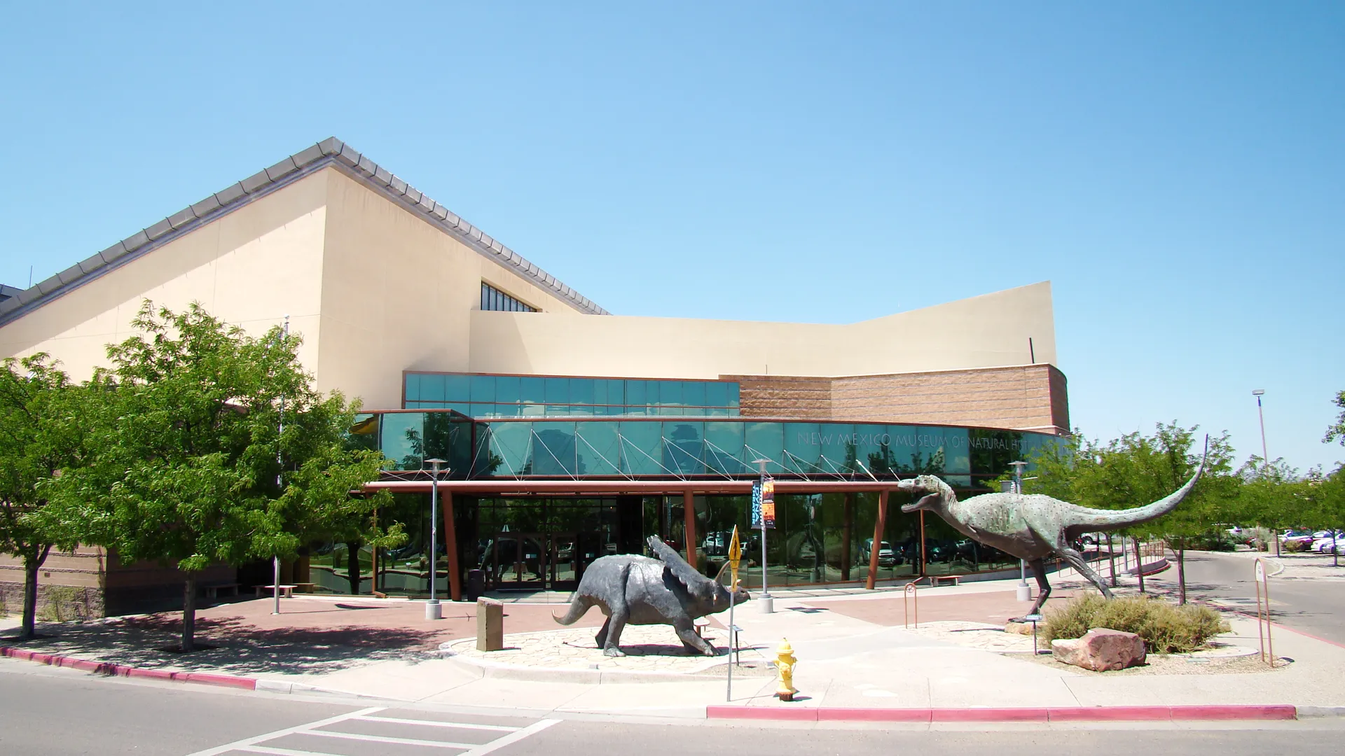
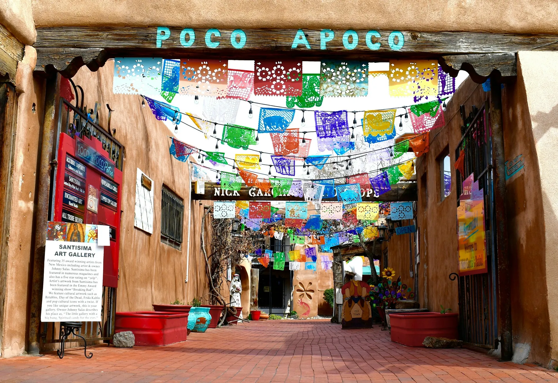
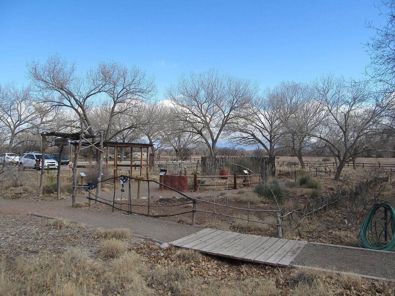
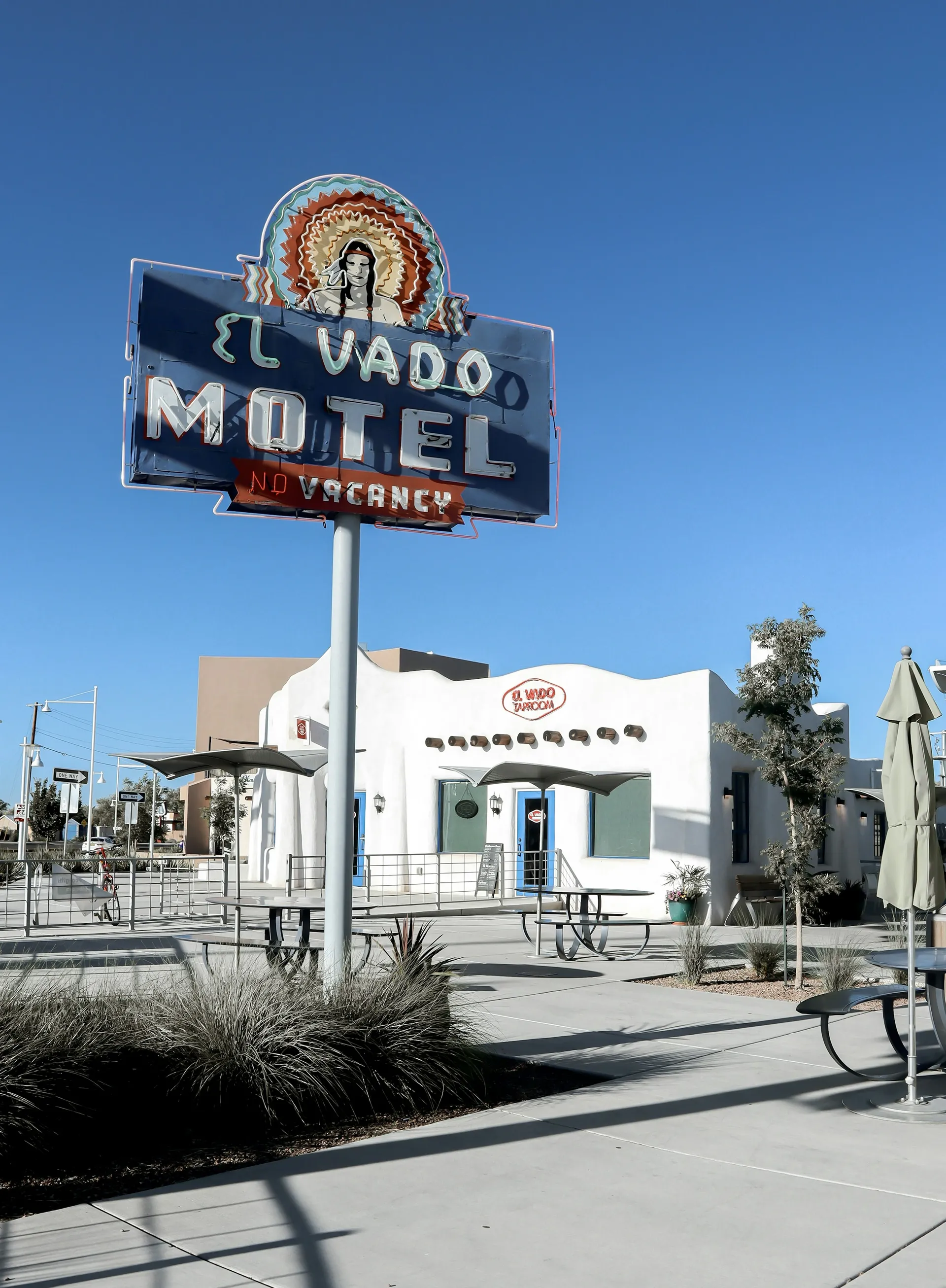
- Under 1 miMatthew MeadowsMatthew Meadows is a small residential neighborhood near Matthew Road NW and the Alameda Drain in Albuquerque’s North Valley area.


Sources & data notesReferences, reporting periods, and how to use this information
Information on this page is compiled from multiple sources and provided for general information. It may be incomplete or out of date, and we do not guarantee its accuracy, completeness, or timeliness. Independently verify important details with the original source, relevant authority, or a qualified professional before making decisions.
Statistics keep their reporting periods. Survey estimates are not current asking prices or quotes for an individual property. Displayed values are rounded.
- Family holdings, named roads and the impact of Interstate 40
- Vernacular houses, chapel materials and residents’ 1980s restorationCity of Albuquerque — Los Duranes plan, historical accountSource checked Repealed plan used solely as a historical source. No present zoning, boundary or regulatory claim.
- Chapel identity, address and nineteenth-century significanceNational Park Service — Los Duranes ChapelSource checked Sources differ on exact construction year; text uses late nineteenth century.
- Wheelchair basketball, polymer clay art, rooms and membershipCity of Albuquerque — Los Duranes Community CenterSource checked
- Neighborhood identity, local facilities and property/association context. Supplied article edited for practical coverage; linked documents should be checked for a specific property.Local neighborhood resourcesSource checked
- Public park identities and city facilitiesCity of Albuquerque — park locationsSource checked
- Exact-address enrollment checks; nearby schools do not establish attendance assignment · Verify enrollment by addressAPS — check a school by home addressSource checked
- Current fixed-route service and zero fares · Current stops, routes and travel timesABQ RIDE — current routes and schedulesSource checked
- Current zone-based shared-ride service and booking limitsCity — ABQ RIDE ConnectSource checked
- Related neighborhood discoveryOld Town — neighborhood pageSource checked
- Related neighborhood discoverySawmill — neighborhood pageSource checked
- City setting, climate, schools and transportAlbuquerque — city overview and practical resourcesSource checked
- Published recreation destinationRio Grande Nature Center State Park — place pageSource checked
- Reference supplied in the articlecabq.gov · crime mappingSource checked
- Parcel and jurisdiction lookupAlbuquerque and Bernalillo County GIS mapsSource checked
- Address-specific flood mappingFEMA Flood Map Service CenterSource checked
- Public park and recreation informationCity of Albuquerque parks and recreationSource checked
Photo credits
- Los Duranes Chapel on Indian School Road NW, photographed in September 2012.Image credits and license
Los Duranes Chapel on Indian School Road NW, photographed in September 2012.
Creator: Roland Penttila
License: CC BY-SA 3.0
Roland Penttila
Changes: Resized and converted to WebP/AVIF. No content edits.