


Neighborhood in Albuquerque · Bernalillo County
West Park
West Park is a small residential neighborhood between Central Avenue, the Albuquerque Country Club and the Rio Grande.
Photo 1 of 1

El Vado Motel on Central Avenue in West Park — published January 2024
El Vado Motel on Central Avenue in West Park — published January 2024
Creator: Atoosa Ryanne
License: Unsplash License
Atoosa Ryanne
Changes: Resized and converted to WebP. Published date refers to Unsplash publication, not asserted capture date.
Pond loops, courtyard homes and a motor court with a second life
Around the area
Around this neighborhood
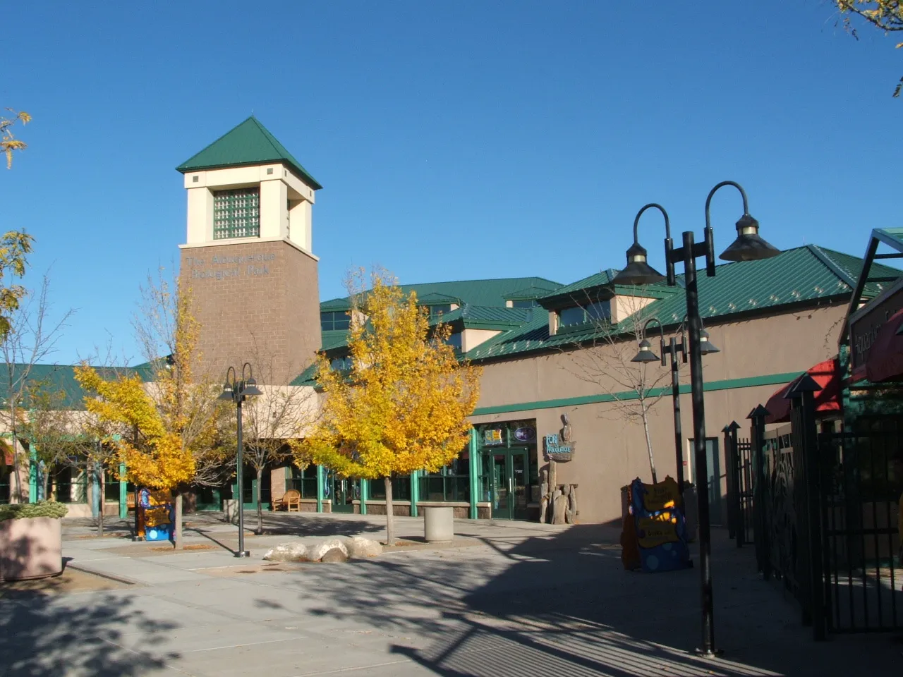
ABQ BioPark Aquarium
Follow the aquarium exhibits from the Rio Grande to the Gulf, where sharks and other marine fish swim in a large tank.
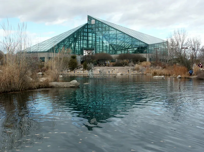
ABQ BioPark Botanic Garden
The ABQ BioPark Botanic Garden offers a planted counterpoint to Albuquerque's desert surroundings, with themed gardens and glasshouses near the Rio Grande.
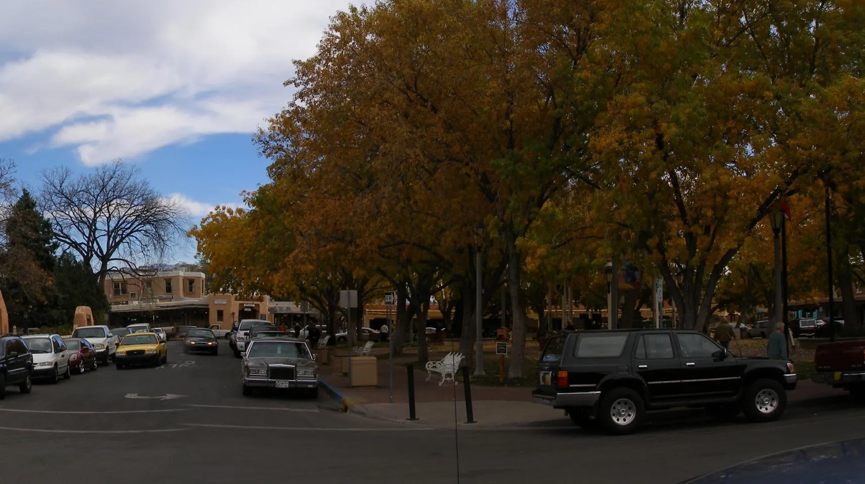
Old Town Plaza
The bandstand in the middle of Old Town Plaza makes an easy meeting spot.
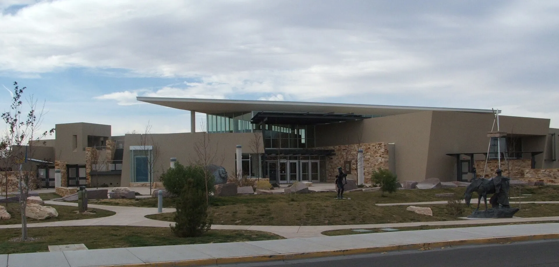
Albuquerque Museum
Albuquerque Museum connects the art and history of the city and the wider Southwest beside Old Town.
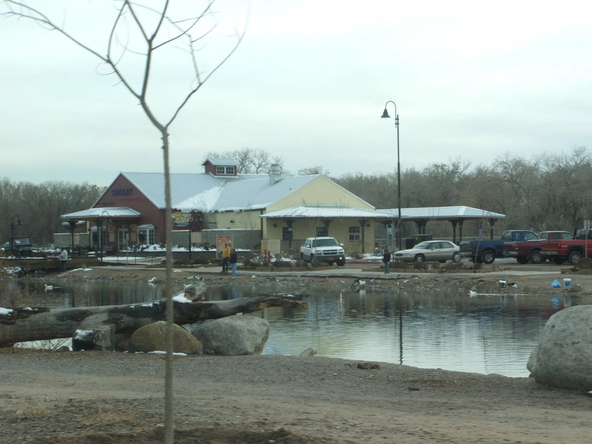
Tingley Beach
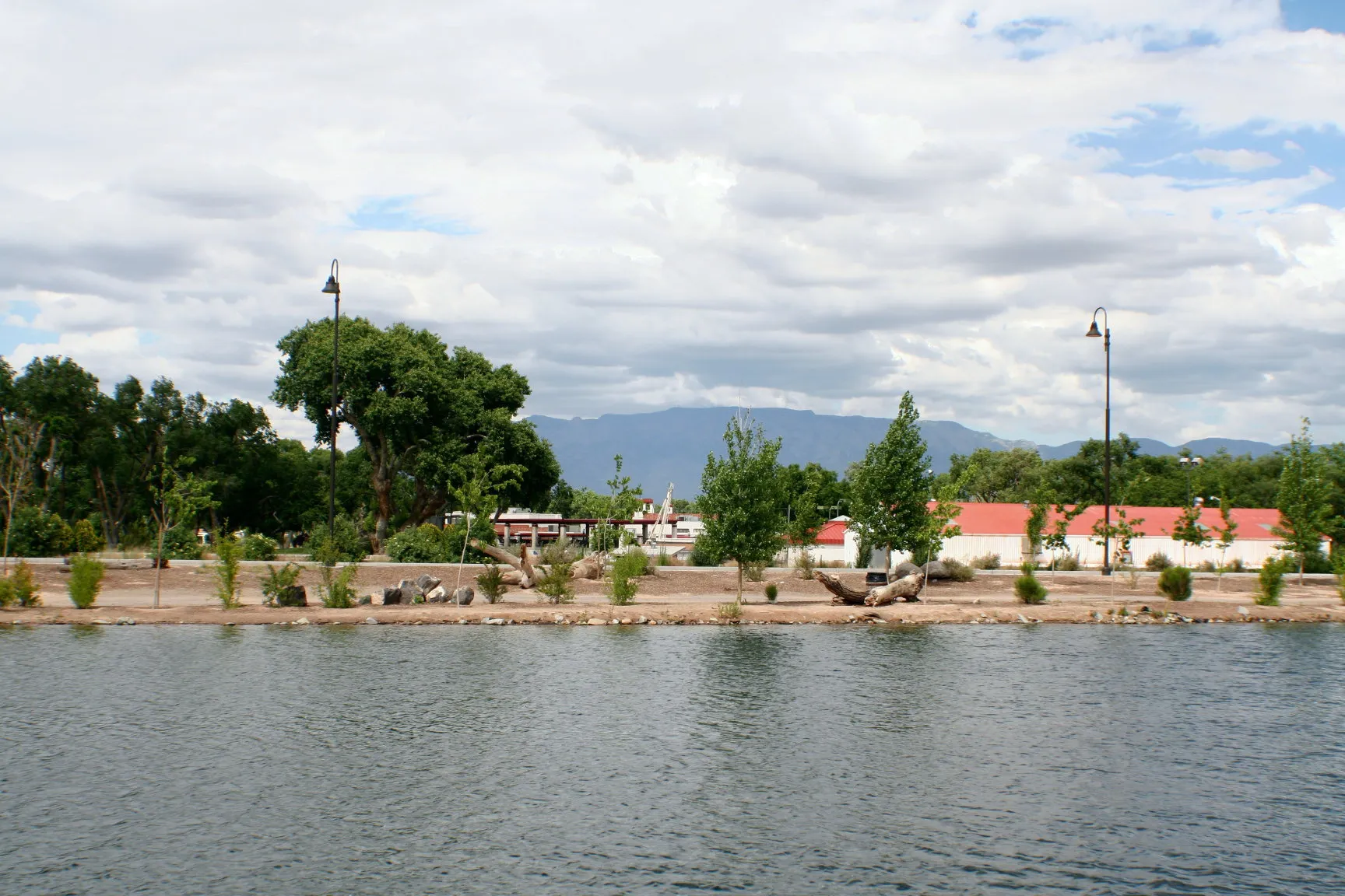
Tingley Beach combines fishing ponds, waterside paths and wildlife observation near Albuquerque’s Rio Grande Bosque.
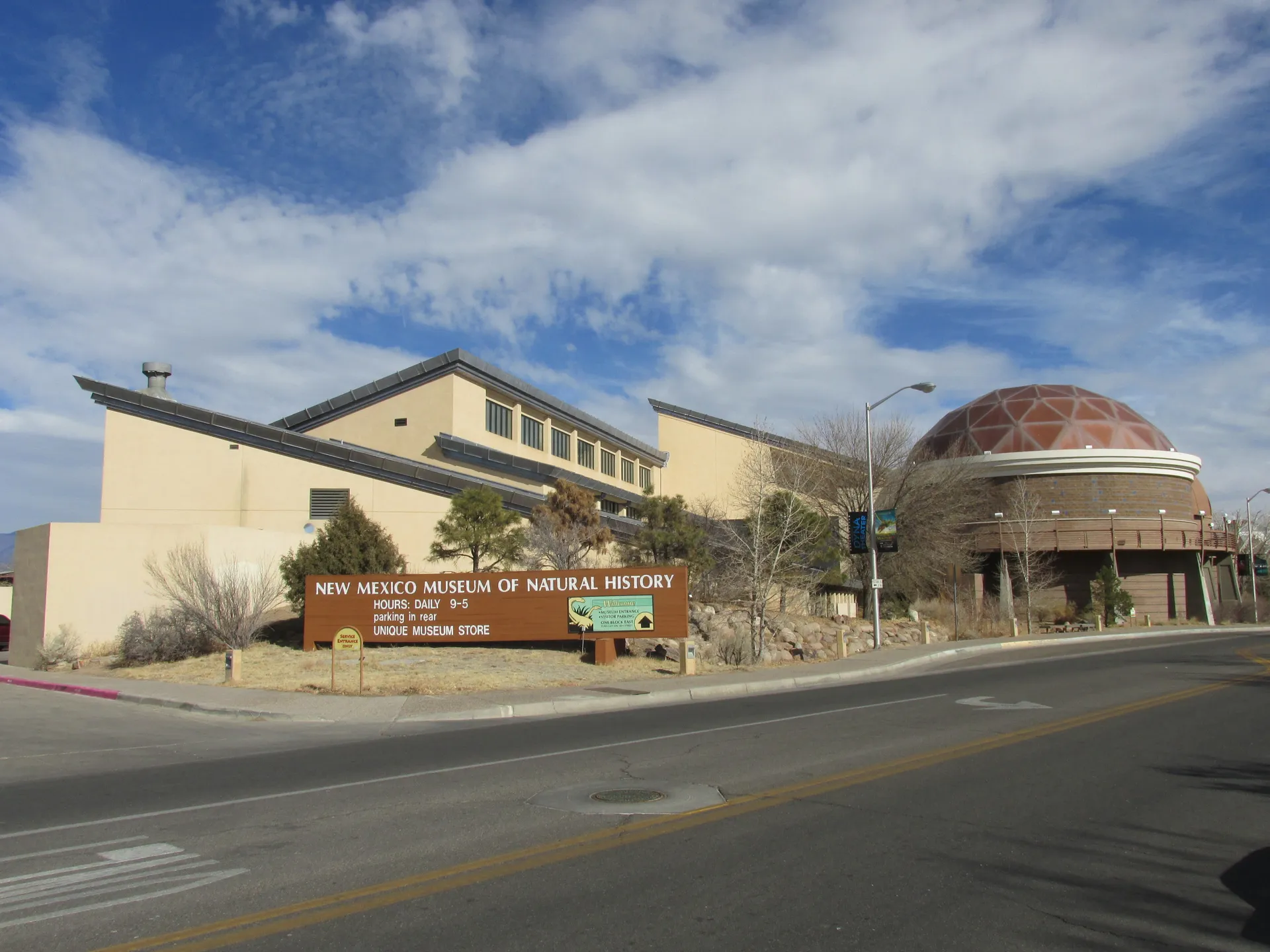
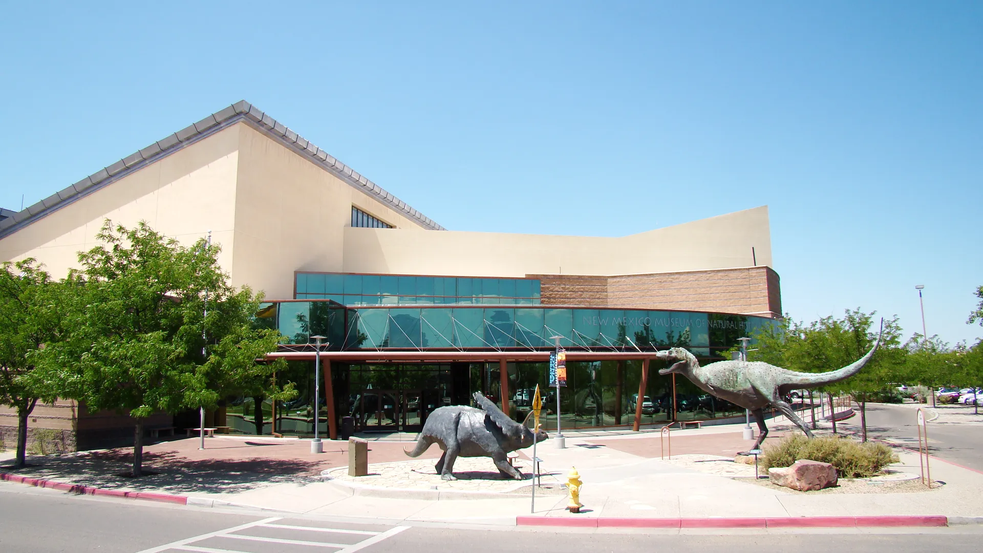
New Mexico Museum of Natural History & Science
The dinosaurs out front are an easy way to spot the museum on Mountain Road.


About West Park
West Park is a small residential neighborhood between Central Avenue, the Albuquerque Country Club and the Rio Grande. Courtyard apartments and older houses sit close to Tingley Beach, while El Vado gives its Route 66 edge a place to stop for food as well as a room.
The neighborhood grew after the valley was drained
West Park’s modest scale has a practical history. The city’s Central ABQ assessment dates its platting to the late 1920s and much of its housing to the 1930s and 1940s, after the Middle Rio Grande Conservancy District built drains and upstream dams. Land that had been swampy became available for farming and building.
Single-family houses, duplexes and courtyard apartments share the northern and western edges of the country club. The courtyards are part of the neighborhood’s original housing story, rather than a recent apartment-marketing idea. Central Avenue and the river help orient a visit; this profile’s map pin marks El Vado, not an exact residential boundary.
A short walk can go around a pond
Tingley Beach makes room for a smaller outing than a long ride along the bosque. The city measures the Central Pond loop at 0.64 miles; including both the Children’s Pond and South Pond brings the circuit to 0.92 miles. Watching waterfowl, walking a leashed dog and fishing use the same landscape in different ways.
Pond admission is free, with no timed-entry ticket. Anglers aged 12 and older need a New Mexico fishing license. Despite the name, swimming and wading are prohibited. Bring drinking water: the city’s current notice lists the station and cafe as closed.
El Vado’s courtyard is still doing the gathering
El Vado opened in 1937, anticipating Route 66’s new east–west alignment. The National Park Service describes two facing rows of rooms with covered carports and a central parking court. Its name means “ford,” a reference to an older Rio Grande crossing near today’s Bridge Street.
At 2500 Central SW, the operating motel now also lists places to eat, drink and shop, with its own entertainment calendar. You can use that corner without booking an overnight stay. The white walls and neon sign preserve the roadside welcome; the courtyard gives the stop a life beyond passing motorists.
Neighborhoods and districts near West Park
The closest neighborhoods and districts in Albuquerque, measured center to center.


Sources & data notesReferences, reporting periods, and how to use this information
Information on this page is compiled from multiple sources and provided for general information. It may be incomplete or out of date, and we do not guarantee its accuracy, completeness, or timeliness. Independently verify important details with the original source, relevant authority, or a qualified professional before making decisions.
Statistics keep their reporting periods. Survey estimates are not current asking prices or quotes for an individual property. Displayed values are rounded.
- West Park identity and settingVisit Albuquerque — Neighborhood walksSource checked
- Late-1920s platting, drainage and 1930s–1940s housingCity of Albuquerque — Central ABQ assessment, West Park sectionSource checked Historical development account; no current housing availability or flood-risk rating inferred.
- Free pond access, fishing licenses, walking and amenitiesCity of Albuquerque — Tingley BeachSource checked
- Published loop distancesCity of Albuquerque — Tingley Beach pathsSource checked
- No swimming and leashed dogsCity of Albuquerque — Tingley Beach rulesSource checked
- 1937 opening, courtyard layout, name and addressNational Park Service — El Vado Auto Court MotelSource checked
- Current lodging, food, shops and events navigationEl Vado Motel — Official siteSource checked
Photo credits
- El Vado Motel on Central Avenue in West Park — published January 2024Image credits and license
El Vado Motel on Central Avenue in West Park — published January 2024
Creator: Atoosa Ryanne
License: Unsplash License
Atoosa Ryanne
Changes: Resized and converted to WebP. Published date refers to Unsplash publication, not asserted capture date.