


Neighborhood in Cleveland · Cuyahoga County
University Circle
University Circle brings institutional campuses, Uptown’s apartments and the older homes of Hessler Road into one district.
Photo 1 of 1
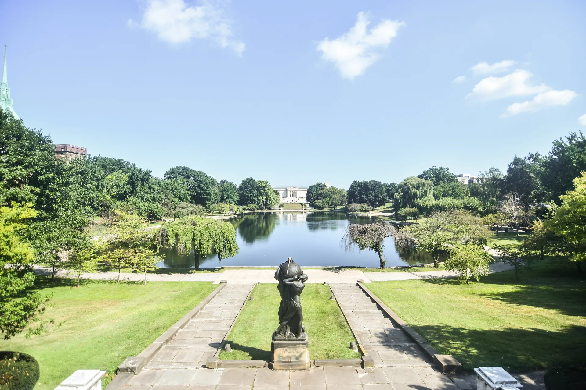
Wade Lagoon and the Cleveland Museum of Art — August 2015, before the 2026 garden restoration.
Wade Lagoon and the Cleveland Museum of Art — August 2015, before the 2026 garden restoration.
Creator: Erik Drost
License: CC BY 2.0
Changes: Wikimedia derivative resized and converted to WebP; display layouts may crop the image.
Uptown apartments, Hessler Road homes and two Red Line entrances
About University Circle
University Circle brings institutional campuses, Uptown’s apartments and the older homes of Hessler Road into one district. Euclid and Mayfield put housing near shops and one Red Line entrance, while Cedar–University station serves another approach to the campus area.
Uptown apartments and Hessler Road homes
Uptown’s residential and commercial development centers on Euclid Avenue at Mayfield Road. Toby’s Plaza connects the contemporary art museum with the south side of Uptown, and Uptown Alley leads toward Triangle Apartments. This is a different immediate setting from the red-brick-paved residential stretch of Hessler Road.
Hessler Road runs east from Ford Drive to Hessler Court, which continues north to Bellflower Road. Its homes date from 1907–1927, and the district’s history includes resident organizing and a housing cooperative.
Campus groceries and a Fairfax supermarket
CWRU’s current Dining Services page introduces Spartie Mart as its grocery and market experience for the campus and surrounding neighbors. Its campus-location directory lists Spartie Mart/Fujisan on North Campus and links to the operator’s current hours. Campus dining schedules can change around academic breaks.
For a full supermarket trip outside the district, Fairfax Market is at 2190 East 105th Street in the Fairfax neighborhood. It posts daily store hours of 6 a.m.–10 p.m.; the café closes earlier, at 4 p.m. This is a separate destination from Uptown’s Euclid–Mayfield blocks. Store information was checked October 18, 2026.
Two Red Line entrances serve different approaches
Little Italy–University Circle station is at 11851 Mayfield Road at East 119th Street. RTA identifies Uptown among nearby destinations. Cedar–University station is at 11150 Cedar Glen Parkway beside the CWRU campus. Both are on the Red Line, which connects with Downtown’s Tower City and Cleveland Hopkins Airport.
An Uptown apartment and a destination near Cedar Glen Parkway need different approaches to the railway. RTA lists elevators at both stations and publishes their current status on the station pages.
Lagoon access during the garden restoration
The art museum’s August 2026 restoration notice places protective fencing around the Zodiac Garden, Mall and east and west Ovals. It identifies Wade Lagoon, the Nord Family Greenway and the museum’s south steps as accessible during this work. The first work scope is expected to finish in summer 2027, with further work following.
The photograph shows Wade Lagoon and the museum in August 2015, before the 2026 restoration. The museum’s construction-access notice describes the current work areas.
Free galleries and the museum’s entrances
The Cleveland Museum of Art at 11150 East Boulevard offers free general admission to its permanent collection galleries, while some exhibitions and events require tickets. Regular Wednesday and Friday hours extend to 9 p.m.; the other opening days close at 5 p.m., with Monday closed. The museum posts separate holiday exceptions. Hours were checked October 18, 2026.
The museum garage is entered from Jeptha Drive. Its accessible parking information identifies the garage’s top level near the north entrance and level P2, which connects to the lower level through a tunnel.
Check these on a visit
Try these in person before you commit to an address in University Circle.
- Walk from Uptown toward the Mayfield Road rail entrance.
- See Hessler Road’s residential setting separately from Euclid Avenue.
- Use the museum’s current garden-access notice when visiting the lagoon.
Neighborhoods and districts near University Circle
The closest neighborhoods and districts in Cleveland, measured center to center.
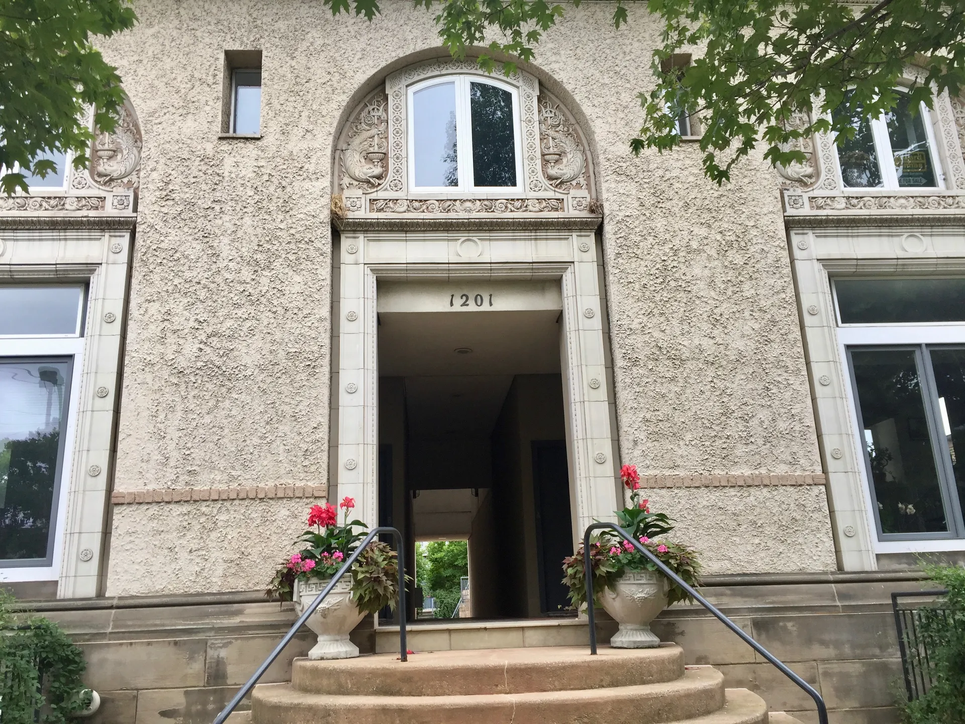 4.7 miTremontTremont has Victorian houses, duplexes, apartments and newer homes south of Downtown.
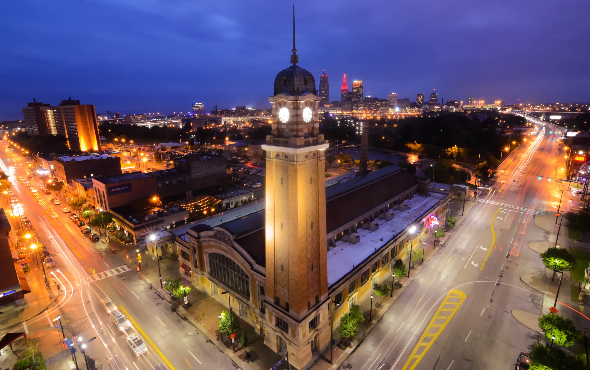 5.4 miOhio CityOhio City combines the West 25th Street market district with residential streets farther west.
Sources & data notesReferences, reporting periods, and how to use this information
Information on this page is compiled from multiple sources and provided for general information. It may be incomplete or out of date, and we do not guarantee its accuracy, completeness, or timeliness. Independently verify important details with the original source, relevant authority, or a qualified professional before making decisions.
Statistics keep their reporting periods. Survey estimates are not current asking prices or quotes for an individual property. Displayed values are rounded.
- Museum admission, regular and holiday hours, parking entrances and published visitor-map pointCleveland Museum of Art — visitor informationSource checked
- August 2026 notice: Zodiac Garden, Mall and east/west Ovals fenced; Wade Lagoon, Nord Family Greenway and south steps accessible; first work scope expected summer 2027Cleveland Museum of Art — Fine Arts Garden restorationSource checked
- Ford Drive/Hessler Court/Bellflower layout; homes built1907–1927; 1975landmark designation; cooperative formation history
- Residential/arts/entertainment district Euclid at Mayfield, Toby’s Plaza and Uptown AlleyCase Western Reserve University — UptownSource checked
- 11150 Cedar Glen Parkway, Red Line downtown/airport, bus transfers; no current elevator uptime or frequency assertionGreater Cleveland RTA — Cedar–University stationSource checked
- Creator, August16 2015 capture and CC BY2.0 licenseErik Drost — Wade Lagoon photographSource checked
- University Circle district differs from the City’s larger University Statistical Planning Area
- 11851 Mayfield Road entrance at East 119th Street; Red Line and Uptown relationship
- Spartie Mart grocery and market transition serving the campus and neighborsCase Western Reserve University — Dining ServicesSource checked
- Spartie Mart/Fujisan listed on North Campus and link to current operating hours
- 2190 East 105th Street in Fairfax, daily grocery hours distinct from café hoursFairfax Market — store informationSource checked
- Cedar–University and Little Italy–University Circle station sequence, Downtown and airport serviceGreater Cleveland RTA — Red Line timetableSource checked
Photo credits
- Wade Lagoon and the Cleveland Museum of Art — August 2015, before the 2026 garden restoration.Image credits and license
Wade Lagoon and the Cleveland Museum of Art — August 2015, before the 2026 garden restoration.
Creator: Erik Drost
License: CC BY 2.0
Changes: Wikimedia derivative resized and converted to WebP; display layouts may crop the image.