


Neighborhood in Minneapolis · Hennepin County
Marcy-Holmes
Marcy-Holmes includes riverfront streets, older houses and apartments, and Dinkytown’s University-facing commercial blocks.
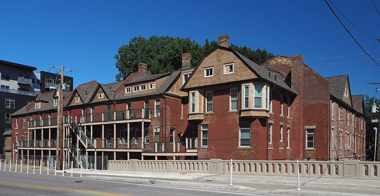
Housing streets, Dinkytown food shopping, University buses and the riverfront
About Marcy-Holmes
Marcy-Holmes includes riverfront streets, older houses and apartments, and Dinkytown’s University-facing commercial blocks. Interstate 35W separates parts of its street grid, so a home near Main Street has different campus, grocery and bus approaches from one near Dinkytown. Father Hennepin Bluff Park provides a Mississippi outing, while Fifth Street SE shopping and the University/Fourth Street bus corridor serve everyday trips.
Older residential streets and larger Dinkytown buildings
Marcy-Holmes has detached houses, brick walk-ups and older apartments west of I-35W, while Dinkytown’s commercial blocks have also gained larger mixed-use and student-oriented buildings. The City’s Fifth Street Southeast survey records early houses that survive within this wider residential setting.
That gives a housing search more than one building type to consider: an older house or smaller apartment building, or a unit nearer the denser commercial core. For a shared rental, ask whether the quoted charge covers the whole unit or one room, then locate the actual entrance and laundry facilities before treating two listings as equivalent.
Fifth Street SE food shopping and store hours
Target’s Dinkytown store is at 1329 Fifth Street SE and has a grocery department. Its posted hours for the week ending October 18, 2026 were 7 a.m.–9 p.m. Monday–Friday and 8 a.m.–9 p.m. Saturday–Sunday; the in-store pharmacy has a separate schedule.
For a home on the riverfront or west of I-35W, this is a distinct journey toward Dinkytown rather than a shop on the Main Street park frontage. Put the return with shopping bags into the address search, and use the store’s current hours for a late errand.
Campus and Downtown trips start with the right corridor
The METRO E Line is bus rapid transit linking the University of Minnesota corridor with Downtown Minneapolis, Uptown and the Southdale area. It opened in December 2025 and serves the University Avenue/Fourth Street corridor, adding an everyday connection beyond the neighborhood’s riverfront walking routes.
For a campus trip, locate the actual department or workplace: “near the university” can mean different approaches from Main Street, Fifth Street or Dinkytown. Use Metro Transit’s trip planner for the specific address and return direction, including the walk to a stop and any crossing of I-35W, rather than assuming the commercial core describes the whole neighborhood.
Main Street’s bluff park and the route down to the river
Father Hennepin Bluff Park at 420 Main Street SE has picnic areas, a bandstand and a walking path that descends toward the Mississippi. The Stone Arch Bridge approach connects this part of the east bank with the west-bank riverfront parks.
A home near the upper park gives a different outing from one reached through the lower bluff paths, and the descent matters if steps or slopes affect your route. Check the Park Board’s current project notices for the park and bridge, then consider that recreation route separately from the campus or grocery journey you repeat most often.
Check these on a visit
Try these in person before you commit to an address in Marcy-Holmes.
- Trace the home-to-campus journey to the building you will actually use, including any I-35W crossing.
- Locate the Dinkytown Target trip at 1329 Fifth Street SE and its return route.
- Find the Main Street approach to Father Hennepin Bluff Park and distinguish the upper park from the descending river path.
Neighborhoods and districts near Marcy-Holmes
The closest neighborhoods and districts in Minneapolis, measured center to center.
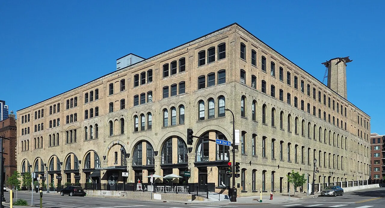
Guides about Marcy-Holmes
Sources & data notesReferences, reporting periods, and how to use this information
Information on this page is compiled from multiple sources and provided for general information. It may be incomplete or out of date, and we do not guarantee its accuracy, completeness, or timeliness. Independently verify important details with the original source, relevant authority, or a qualified professional before making decisions.
Statistics keep their reporting periods. Survey estimates are not current asking prices or quotes for an individual property. Displayed values are rounded.
- Main Street address, bluff paths, public amenities and neighborhood identity
- East-bank and west-bank public park connections
- 2024 survey of older houses, architecture and resident occupations
- Early settlement, older housing and I-35W’s division of the neighborhoodEast Bank Neighborhoods Partnership — Marcy-HolmesSource checked
- Fourth Street/Fourteenth Avenue commercial core and newer mixed-use developmentEast Bank Neighborhoods Partnership — DinkytownSource checked
- 1329 Fifth Street SE, date-specific store hours and separately listed CVS pharmacy hoursTarget — Minneapolis Dinkytown storeSource checked
- Store grocery range, separate from restaurant and cafe visitsTarget — Dinkytown grocery departmentSource checked
- Operating E Line bus rapid transit linking University, Downtown, Uptown and SouthdaleMetro Transit — METRO networkSource checked
- December 2025 opening and University–Downtown–Uptown corridorMetro Transit — E Line opening reportSource checked
- Address-specific journey and return directionMetro Transit — trip plannerSource checked
Photo credits
- Florence Court on University Avenue Southeast — June 2024