


Neighborhood in Providence
Mount Hope
Photo 1 of 2
Creator: Kenneth C. Zirkel
License: CC BY-SA 4.0
Changes: Resized and converted to WebP; may be cropped to fit the display
A local description of Mount Hope is not yet available. Explore the available location information below.
Neighborhoods and districts near Mount Hope
The closest neighborhoods and districts in Providence, measured center to center.
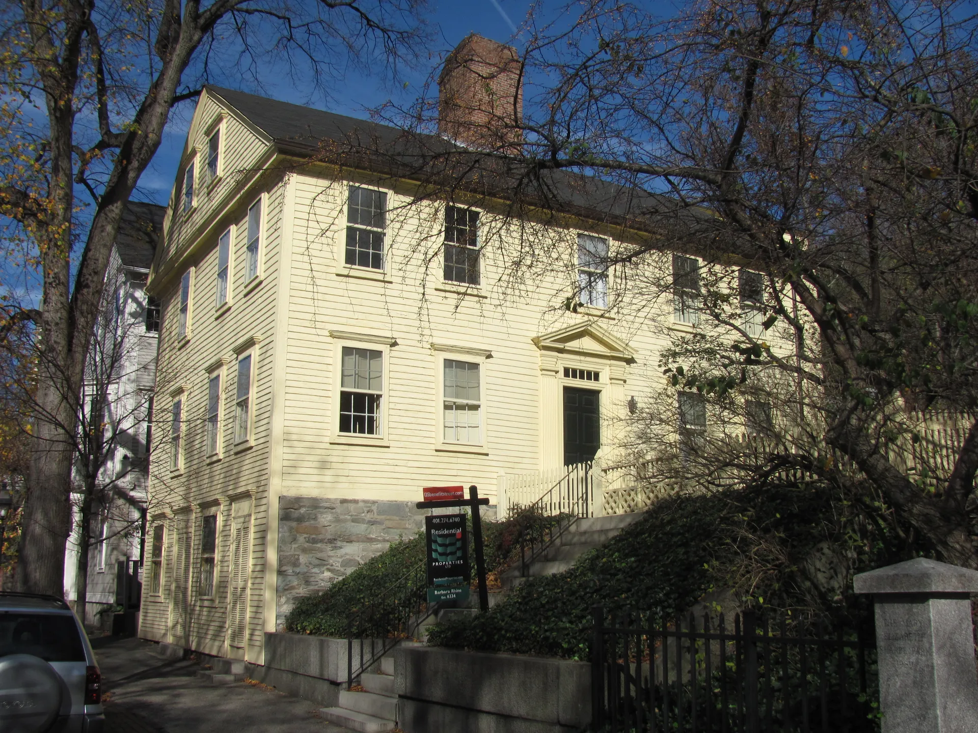 1.1 miCollege HillCollege Hill rises above the Providence River, with historic houses around Benefit Street and Brown and RISD campuses nearby.
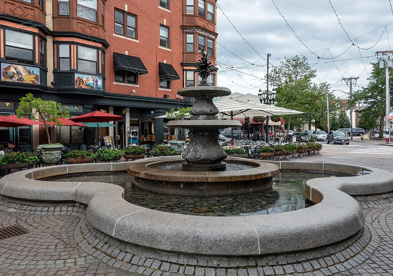 2.1 miFederal HillFederal Hill pairs Atwells Avenue’s food shops and restaurants with residential streets around Broadway.
 3.1 miWest EndProvidence’s West End includes nineteenth-century houses around the Armory Historic District, Urban Greens on Cranston Street and recreation facilities on Bucklin Street.
Sources & data notesReferences, reporting periods, and how to use this information
Information on this page is compiled from multiple sources and provided for general information. It may be incomplete or out of date, and we do not guarantee its accuracy, completeness, or timeliness. Independently verify important details with the original source, relevant authority, or a qualified professional before making decisions.
Statistics keep their reporting periods. Survey estimates are not current asking prices or quotes for an individual property. Displayed values are rounded.
Photo credits
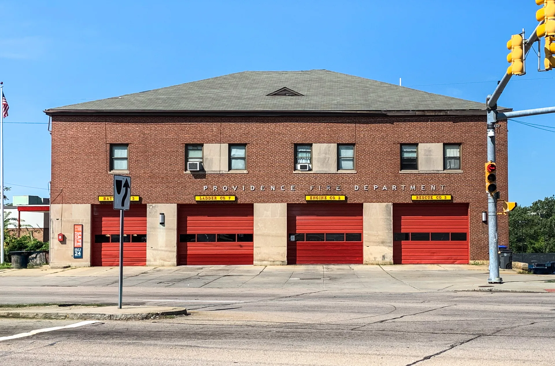
- Historic Mount Hope Fire Station in Providence, Rhode Island.Image credits and license
Creator: Kenneth C. Zirkel
License: CC BY-SA 4.0
Changes: Resized and converted to WebP; may be cropped to fit the display
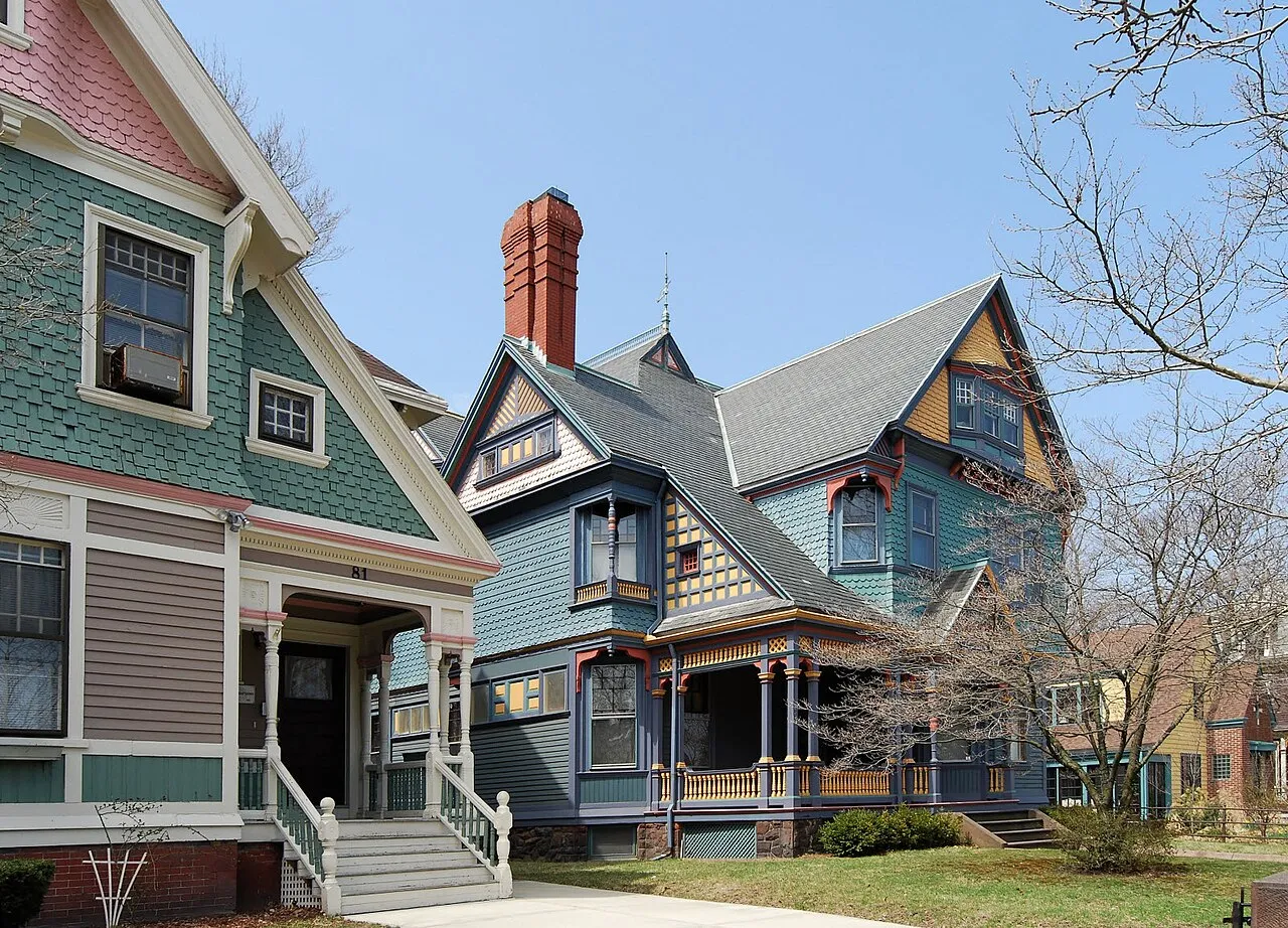
- Victorian Susan and Edward Cutler House in the Mount Hope neighborhood of Providence, Rhode Island.Image credits and license
Creator: Kenneth C. Zirkel
License: CC BY-SA 4.0
Changes: Resized and converted to WebP; may be cropped to fit the display