


Neighborhood in Sioux Falls · Minnehaha County
Pepper Ridge
Pepper Ridge’s east-side recreation options include Morningside Park on South Bahnson Avenue.
Local ballfields, Laurel Oak courts and the larger Harmodon complex
Around the area
Around this neighborhood
- Harmodon ParkHarmodon Park is a larger sports and recreation destination in southeastern Sioux Falls.
- Laurel Oak ParkLaurel Oak Park is a public recreation destination along East 49th Street in southeastern Sioux Falls.
- Morningside ParkMorningside Park is an east-side Sioux Falls recreation destination near Harvey Dunn Elementary School and the Pepper Ridge area.
About Pepper Ridge
Pepper Ridge’s east-side recreation options include Morningside Park on South Bahnson Avenue. Laurel Oak Park and the larger Harmodon ballfield complex are separate destinations farther south and east, with different facilities and booking arrangements.
Morningside Park on South Bahnson Avenue
Morningside Park is at 2500 South Bahnson Avenue. It has soccer fields, softball and open-play ballfields, an accessible playground and an accessible picnic shelter. The shelter measures 20 by 40 feet. The City lists regular park hours of 5 a.m.–10 p.m. daily.
Laurel Oak courts and seasonal aquatics
Laurel Oak Park, 3301 East 49th Street, lists tennis, pickleball, a quick-start tennis court, playgrounds and restrooms. A powered 20-by-40-foot shelter can be booked online. The aquatic facility has a separate seasonal operation: the City describes outdoor pool seasons as generally May–August, rather than year-round access during all park hours.
Harmodon is a separate league-sports destination
Harmodon Park is at 5609 East 41st Street. Its facilities include league baseball and softball fields, accessible playgrounds and restrooms, and multiple picnic shelters with electricity. It is a larger sports destination east of the neighborhood, not another name for Morningside’s local open-play area.
Neighborhoods and districts near Pepper Ridge
The closest neighborhoods and districts in Sioux Falls, measured center to center.
- 1.5 miTuthillTuthill’s residential streets include mid-century homes, curved roads and larger yards, according to the City’s neighborhood account.
- 2.5 miMckennan ParkMcKennan Park is an established residential neighborhood south of downtown Sioux Falls.
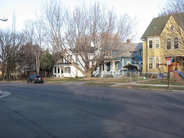 2.8 miAll SaintsAll Saints sits between Downtown and McKennan Park, with a mix of residential building types and a historic district covering much of the neighborhood.
- 2.8 miOak ViewOak View’s association area runs from Rice Street to 10th Street, between Cleveland and Sycamore Avenues.
- 3.0 miWhittierWhittier’s neighborhood recreation stops include Whittier Park on East 3rd Street, Meldrum Park on East 6th Street and Heritage Park on North Weber Avenue.
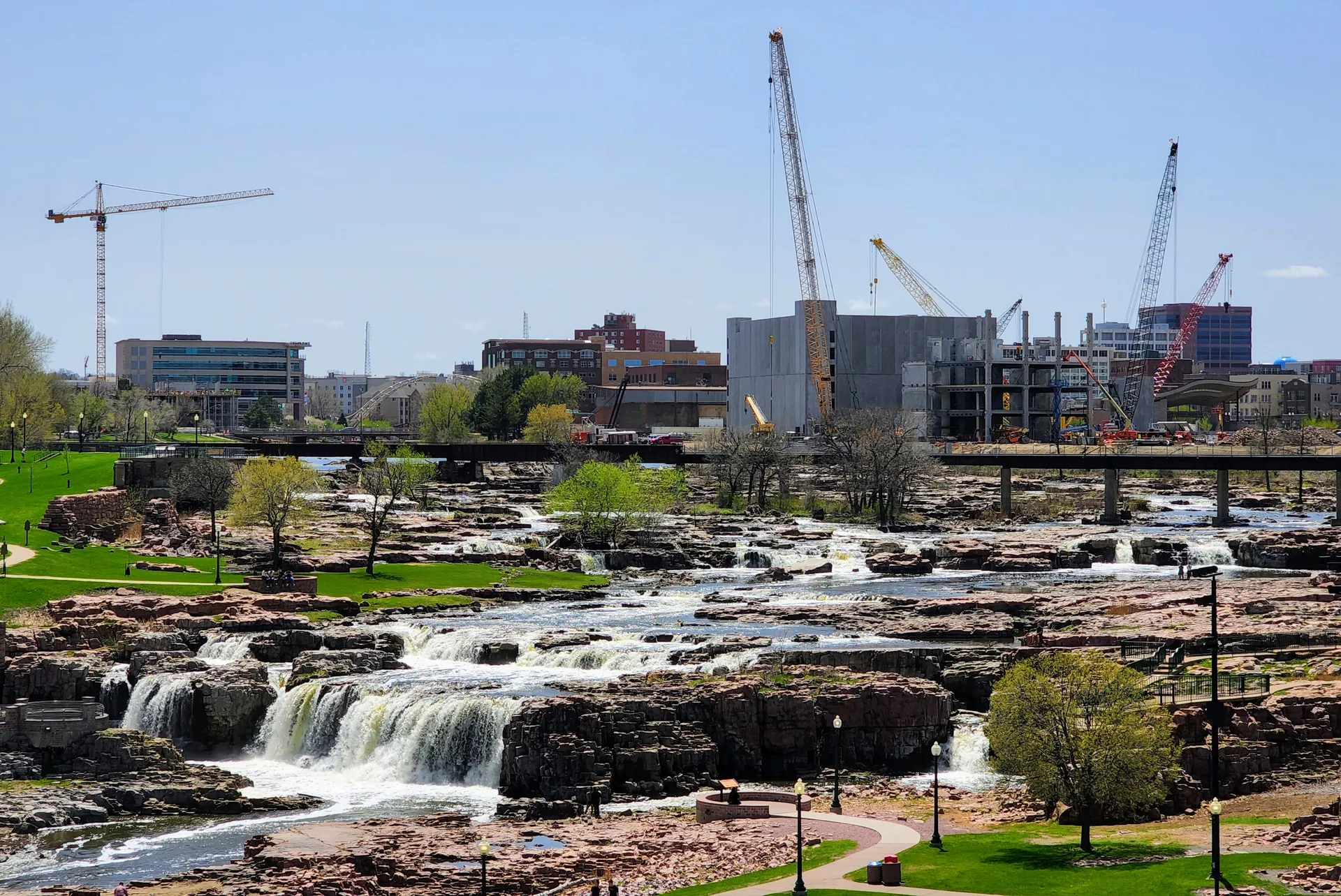 3.4 miDowntownDowntown brings housing and businesses together around Phillips Avenue, the riverfront and North Dakota Avenue.
Guides about Pepper Ridge
Sources & data notesReferences, reporting periods, and how to use this information
Information on this page is compiled from multiple sources and provided for general information. It may be incomplete or out of date, and we do not guarantee its accuracy, completeness, or timeliness. Independently verify important details with the original source, relevant authority, or a qualified professional before making decisions.
Statistics keep their reporting periods. Survey estimates are not current asking prices or quotes for an individual property. Displayed values are rounded.
- Location, listed facilities and public park informationCity of Sioux Falls — Morningside ParkSource checked
- Location, listed facilities and public park informationCity of Sioux Falls — Laurel Oak ParkSource checked
- Daily admission, pass differences and outdoor operating seasonCity of Sioux Falls — aquatic admissionSource checked
- Location, listed facilities and public park informationCity of Sioux Falls — Harmodon ParkSource checked