


ZIP code
ZIP 89122
Part of Henderson, NV.
Loading map…
Cities in ZIP 89122
Nearby places
Places near ZIP 89122
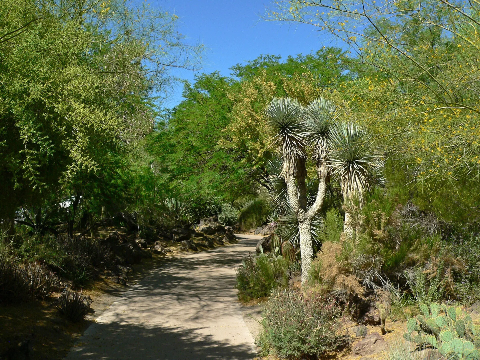 Ethel M Botanical Cactus GardenEthel M's Botanical Cactus Garden pairs desert planting with the chocolate factory's visitor destination in Henderson.
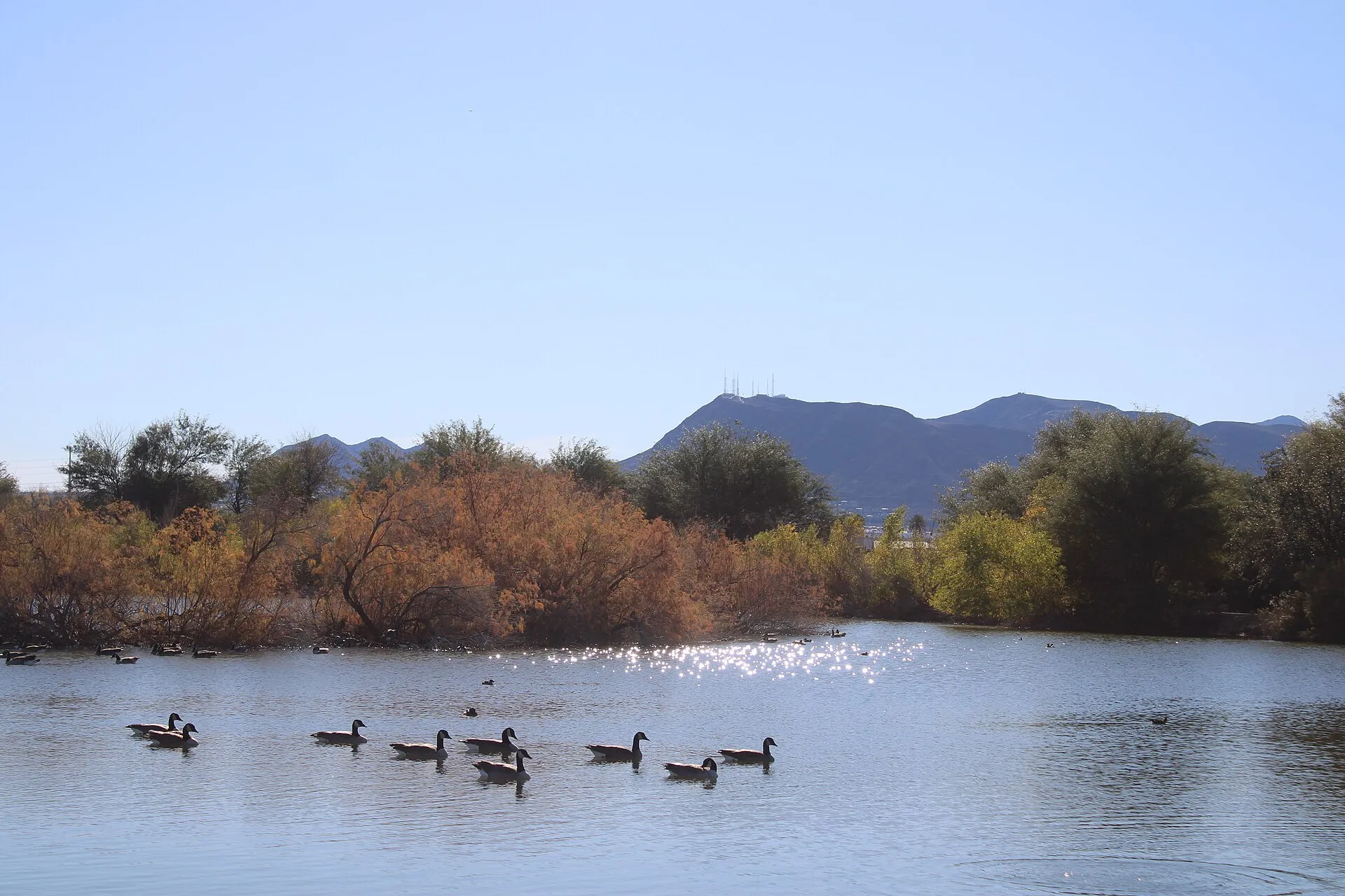 Henderson Bird Viewing PreserveHenderson Bird Viewing Preserve offers a network of ponds and walking routes used by resident and migrating birds near the city's water reclamation facilities.
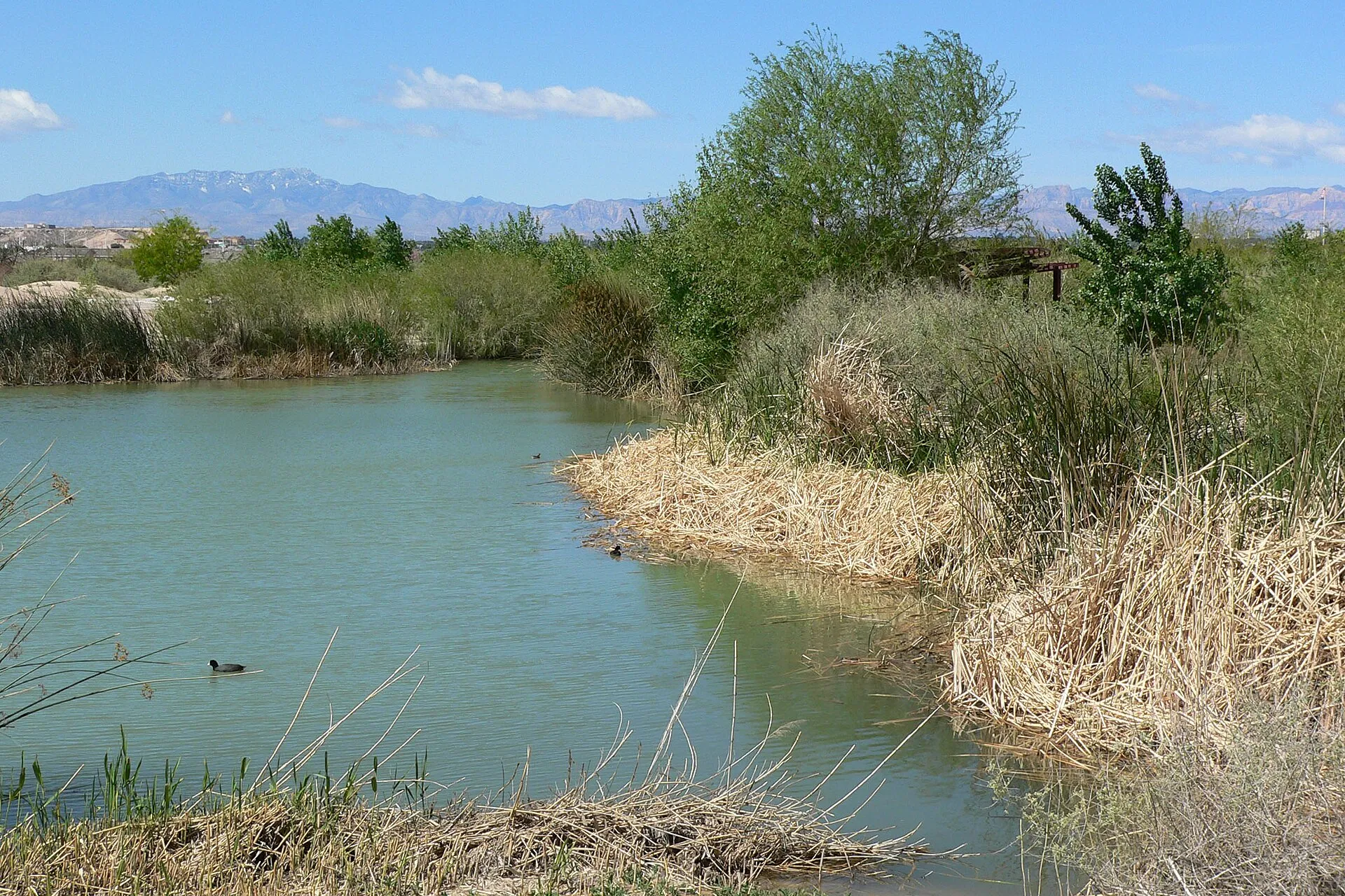 Clark County Wetlands ParkClark County Wetlands Park protects a wetland landscape along Las Vegas Wash near Whitney.
Nearby ZIP codes
Sources & data notesReferences, reporting periods, and how to use this information
Information on this page is compiled from multiple sources and provided for general information. It may be incomplete or out of date, and we do not guarantee its accuracy, completeness, or timeliness. Independently verify important details with the original source, relevant authority, or a qualified professional before making decisions.
Statistics keep their reporting periods. Survey estimates are not current asking prices or quotes for an individual property. Displayed values are rounded.
- ZIP boundariesU.S. Census Bureau ZCTAsCensus ZIP Code Tabulation Areas approximate postal delivery areas and may cross city and neighborhood boundaries. Neighborhood footprints are approximate.