


ZIP code
ZIP 90731
Part of Los Angeles, CA, covering parts of San Pedro.
Loading map…
Neighborhoods in ZIP 90731
Some neighborhood footprints are approximate, so their overlap with this ZIP area is too.
Nearby places
Places near ZIP 90731
- San Pedro Regional Branch LibrarySpanish-language books, a scanner and teen resources at the South Gaffey Street regional library in San Pedro.
- Wilmington Branch LibraryA New Americans Center, literacy center and ukuleles at the North Avalon Boulevard branch, with Spanish-language books and student resources.
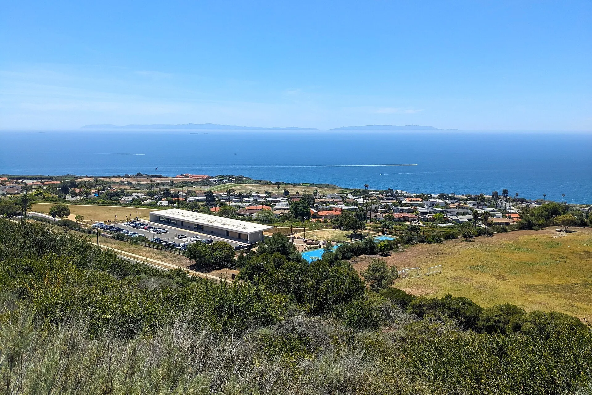 Forrestal ReserveForrestal Reserve offers hillside trails and coastal views in Rancho Palos Verdes.
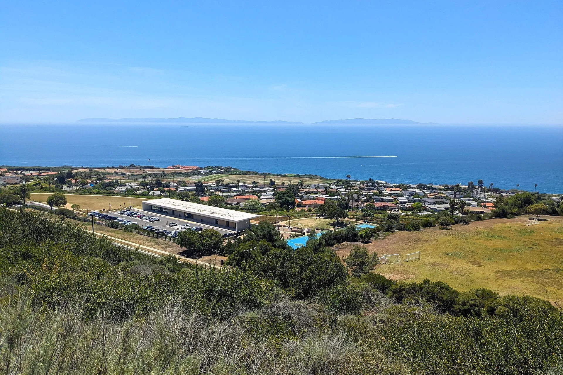 Ladera Linda Community ParkLadera Linda Community Park combines ocean-facing recreation grounds with a modern community center in Rancho Palos Verdes.
 Aquarium of the PacificAt Long Beach's Rainbow Harbor, Aquarium of the Pacific offers a focused encounter with aquatic environments around the Pacific Ocean. Its waterfront location makes it easy to combine a dedicated aquarium visit with time exploring the surrounding harbour area.
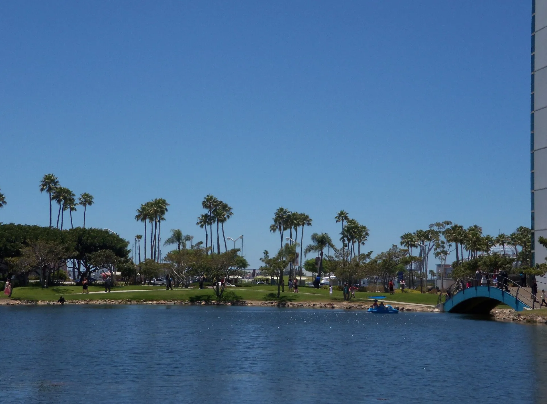 Shoreline Aquatic ParkShoreline Aquatic Park offers lawns, paths, and harbor views on Long Beach's downtown waterfront.
 Queen MaryThe Queen Mary remains docked in Long Beach as a historic ocean liner and visitor attraction. Its size and surviving shipboard spaces offer a tangible connection to transatlantic travel, distinct from viewing a modern cruise ship from the waterfront.
Nearby ZIP codes
Sources & data notesReferences, reporting periods, and how to use this information
Information on this page is compiled from multiple sources and provided for general information. It may be incomplete or out of date, and we do not guarantee its accuracy, completeness, or timeliness. Independently verify important details with the original source, relevant authority, or a qualified professional before making decisions.
Statistics keep their reporting periods. Survey estimates are not current asking prices or quotes for an individual property. Displayed values are rounded.
- ZIP boundariesU.S. Census Bureau ZCTAsCensus ZIP Code Tabulation Areas approximate postal delivery areas and may cross city and neighborhood boundaries.
- Neighborhood footprints for ZIP overlapsCity-Defined Neighborhood Dataset v1.0 (CC0)Neighborhood footprints are approximate. Source polygons are combined where needed to calculate overlaps.