


ZIP code
ZIP 90732
Part of Los Angeles, CA, covering parts of San Pedro.
Loading map…
Neighborhoods in ZIP 90732
Some neighborhood footprints are approximate, so their overlap with this ZIP area is too.
Nearby places
Places near ZIP 90732
- Harbor City - Harbor Gateway Branch LibraryA sensory room, ukuleles and Spanish-language collections at 24000 S. Western Avenue in Harbor City.
- San Pedro Regional Branch LibrarySpanish-language books, a scanner and teen resources at the South Gaffey Street regional library in San Pedro.
- Wilmington Branch LibraryA New Americans Center, literacy center and ukuleles at the North Avalon Boulevard branch, with Spanish-language books and student resources.
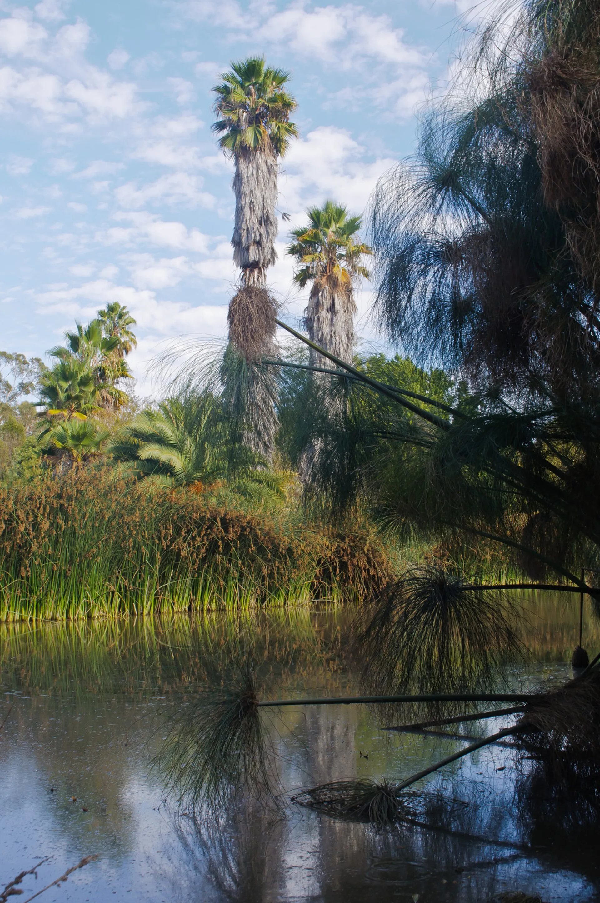 South Coast Botanic GardenSouth Coast Botanic Garden presents plant collections and landscaped paths on the Palos Verdes Peninsula, near Rolling Hills Estates.
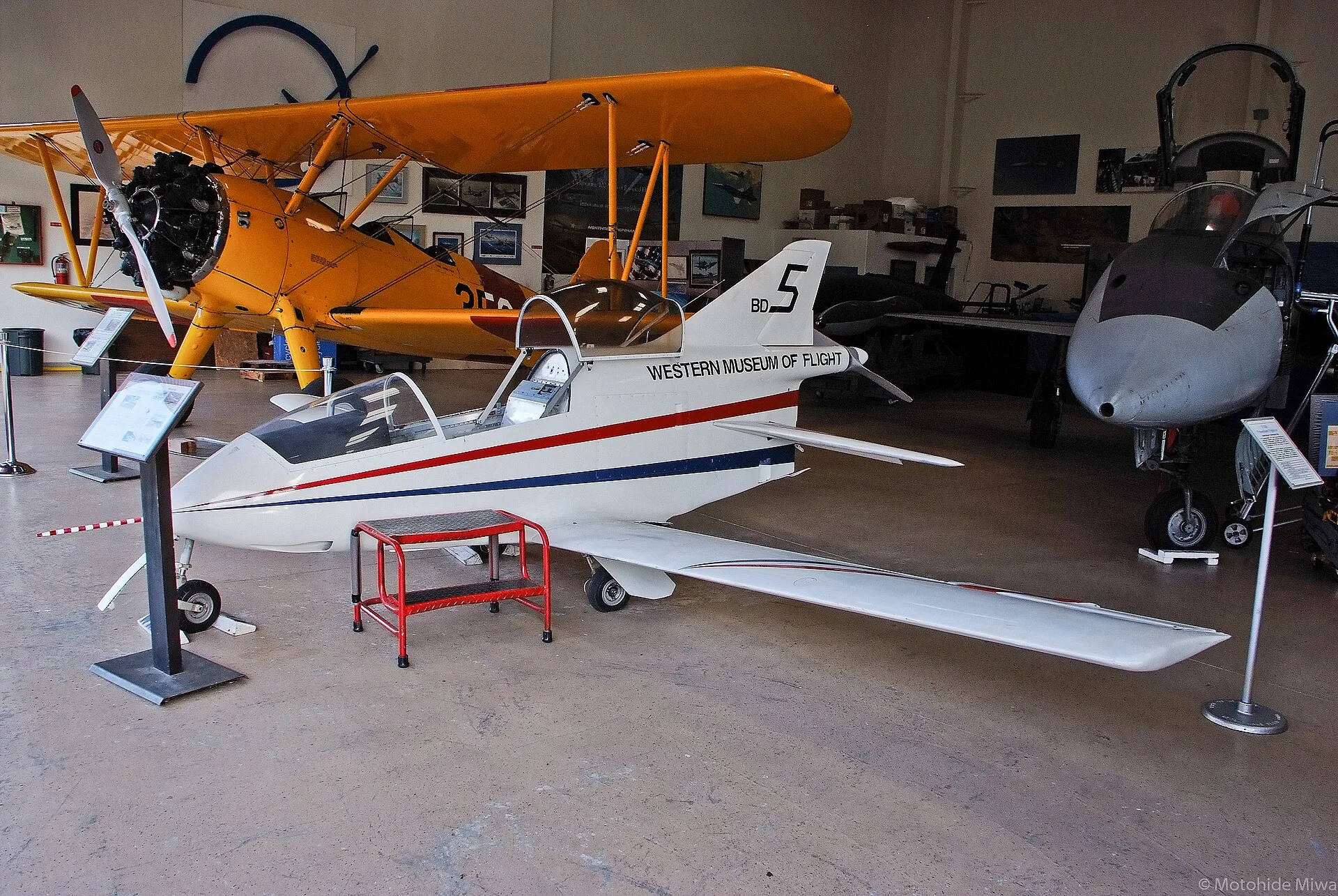 Western Museum of FlightWestern Museum of Flight explores Southern California aviation heritage at Torrance's Zamperini Field.
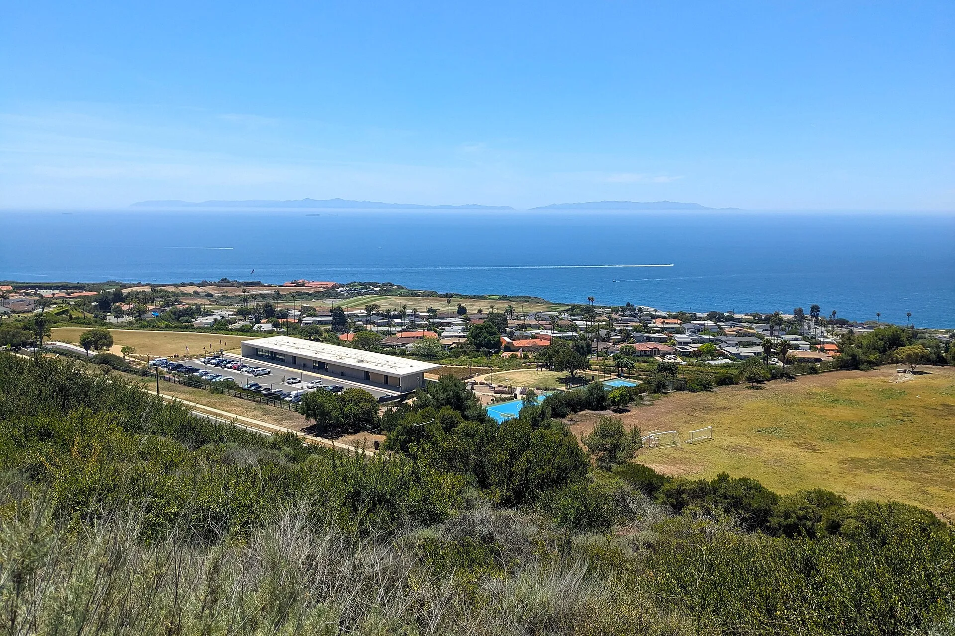 Forrestal ReserveForrestal Reserve offers hillside trails and coastal views in Rancho Palos Verdes.
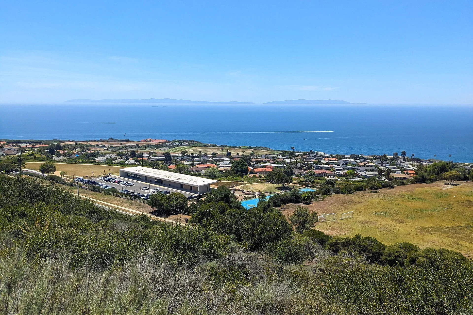 Ladera Linda Community ParkLadera Linda Community Park combines ocean-facing recreation grounds with a modern community center in Rancho Palos Verdes.
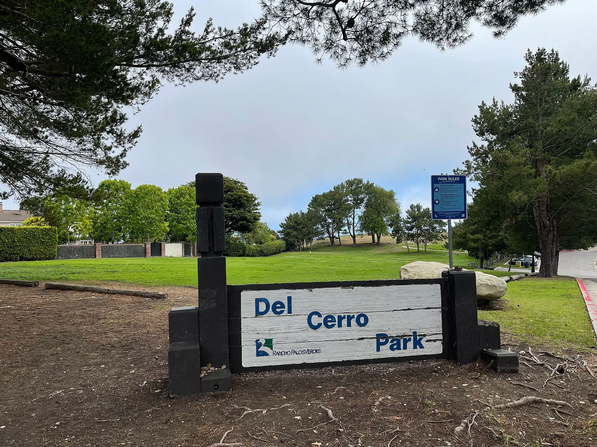 Del Cerro ParkDel Cerro Park offers a bluff-top lawn and broad views across the Palos Verdes landscape toward coastal headlands and the ocean.
Nearby ZIP codes
Sources & data notesReferences, reporting periods, and how to use this information
Information on this page is compiled from multiple sources and provided for general information. It may be incomplete or out of date, and we do not guarantee its accuracy, completeness, or timeliness. Independently verify important details with the original source, relevant authority, or a qualified professional before making decisions.
Statistics keep their reporting periods. Survey estimates are not current asking prices or quotes for an individual property. Displayed values are rounded.
- ZIP boundariesU.S. Census Bureau ZCTAsCensus ZIP Code Tabulation Areas approximate postal delivery areas and may cross city and neighborhood boundaries.
- Neighborhood footprints for ZIP overlapsCity-Defined Neighborhood Dataset v1.0 (CC0)Neighborhood footprints are approximate. Source polygons are combined where needed to calculate overlaps.