


Wertland Street Historic District
- Historic district
- Regional draw
- Charlottesville
Wertland Street Historic District preserves a compact residential area between the University of Virginia and downtown Charlottesville.
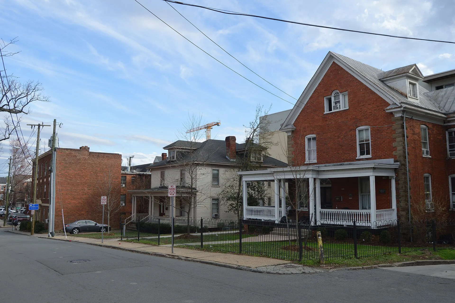
Its freestanding houses illustrate the neighborhood’s development around the university during the late nineteenth and early twentieth centuries.
Explore the streetscape from public sidewalks, comparing building forms and details with the state heritage description. These are occupied properties, so historic designation does not provide interior access or permission to enter yards. The photograph depicts a section of Wertland Street. Keep entrances clear and give residents privacy, and combine the short district walk with other nearby public destinations.
Visitor details reviewed October 18, 2026. Check official visitor information for current access, admission, and operating arrangements. View on OpenStreetMap.
Image credit: Nyttend / Wikimedia Commons. Original source. Public domain. Resized and converted to WebP; may be cropped for display.
Nearby
More places nearby
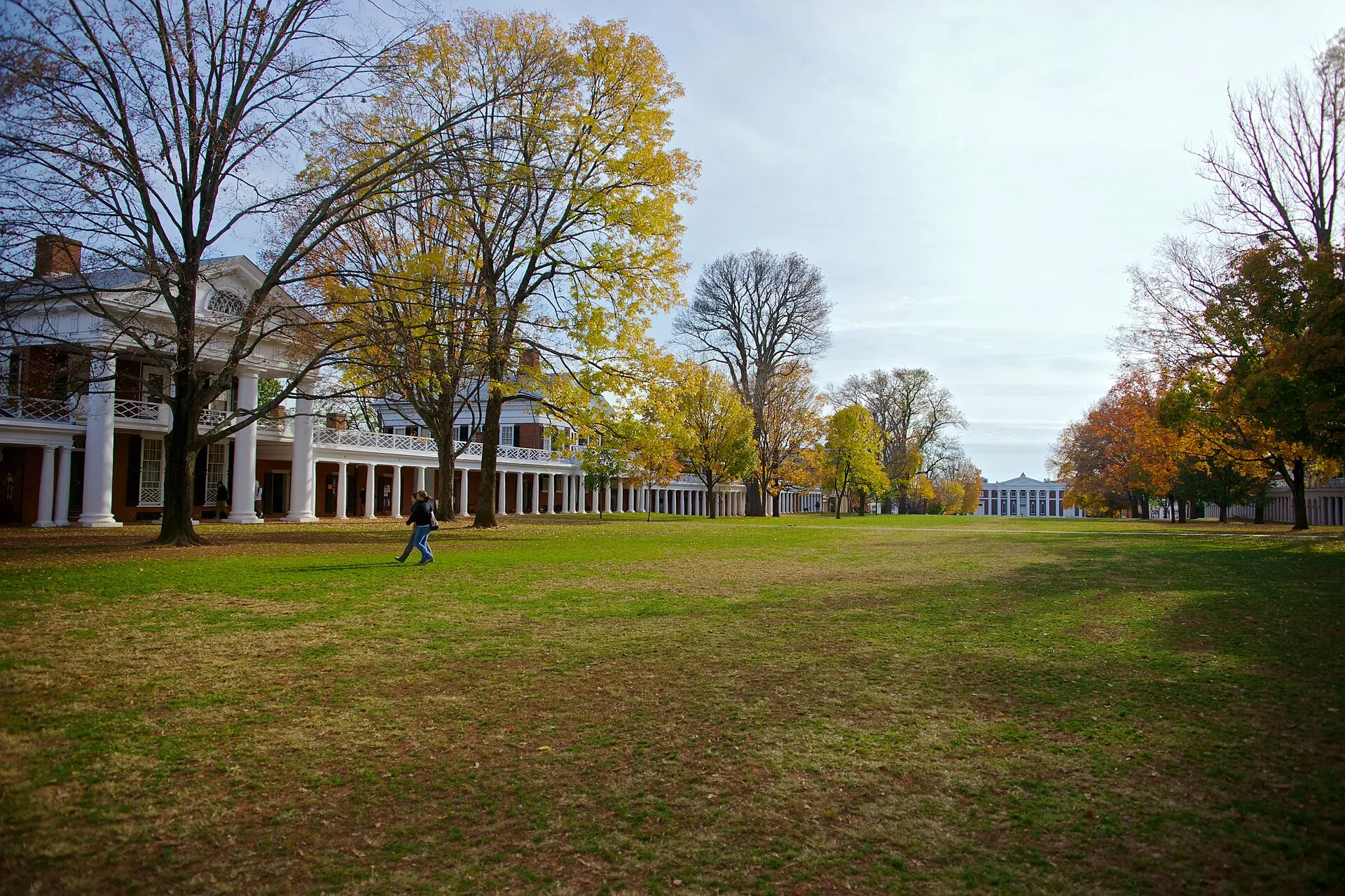 The Lawn, University of VirginiaThe Lawn forms the terraced green center of the University of Virginia’s Academical Village.
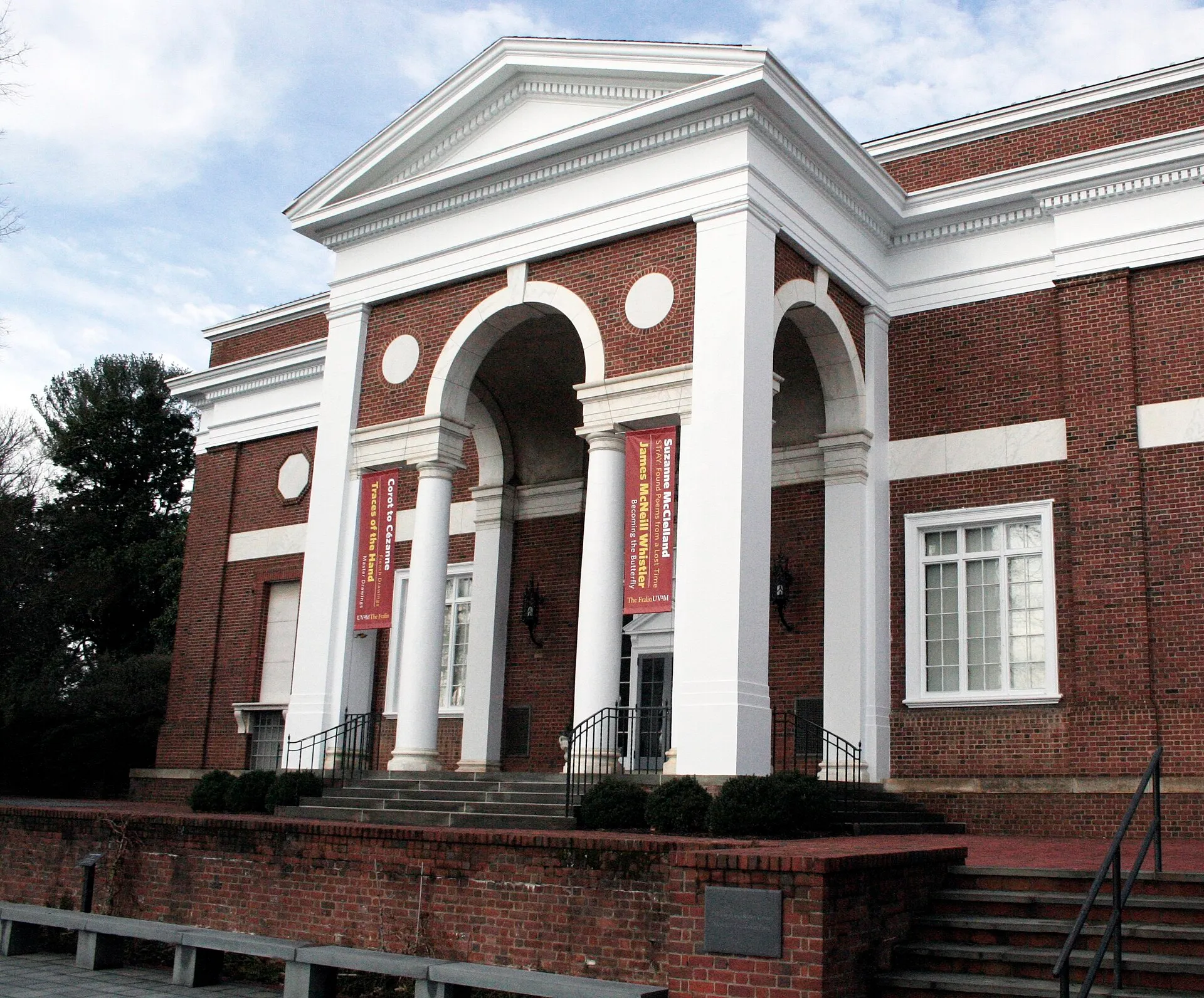 Fralin Museum of ArtFralin Museum of Art at the University of Virginia presents collection displays and changing exhibitions in Charlottesville.
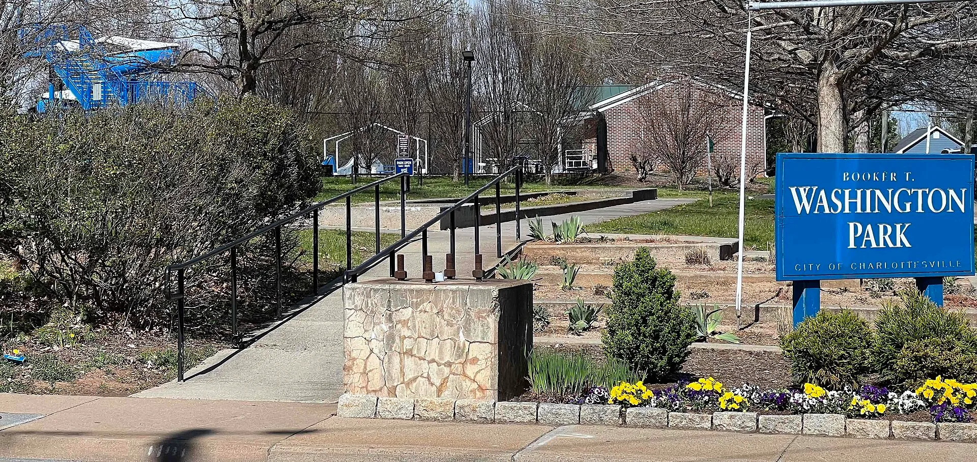 Booker T. Washington Park, CharlottesvilleBooker T. Washington Park combines sloping green space with community recreation facilities in Charlottesville.
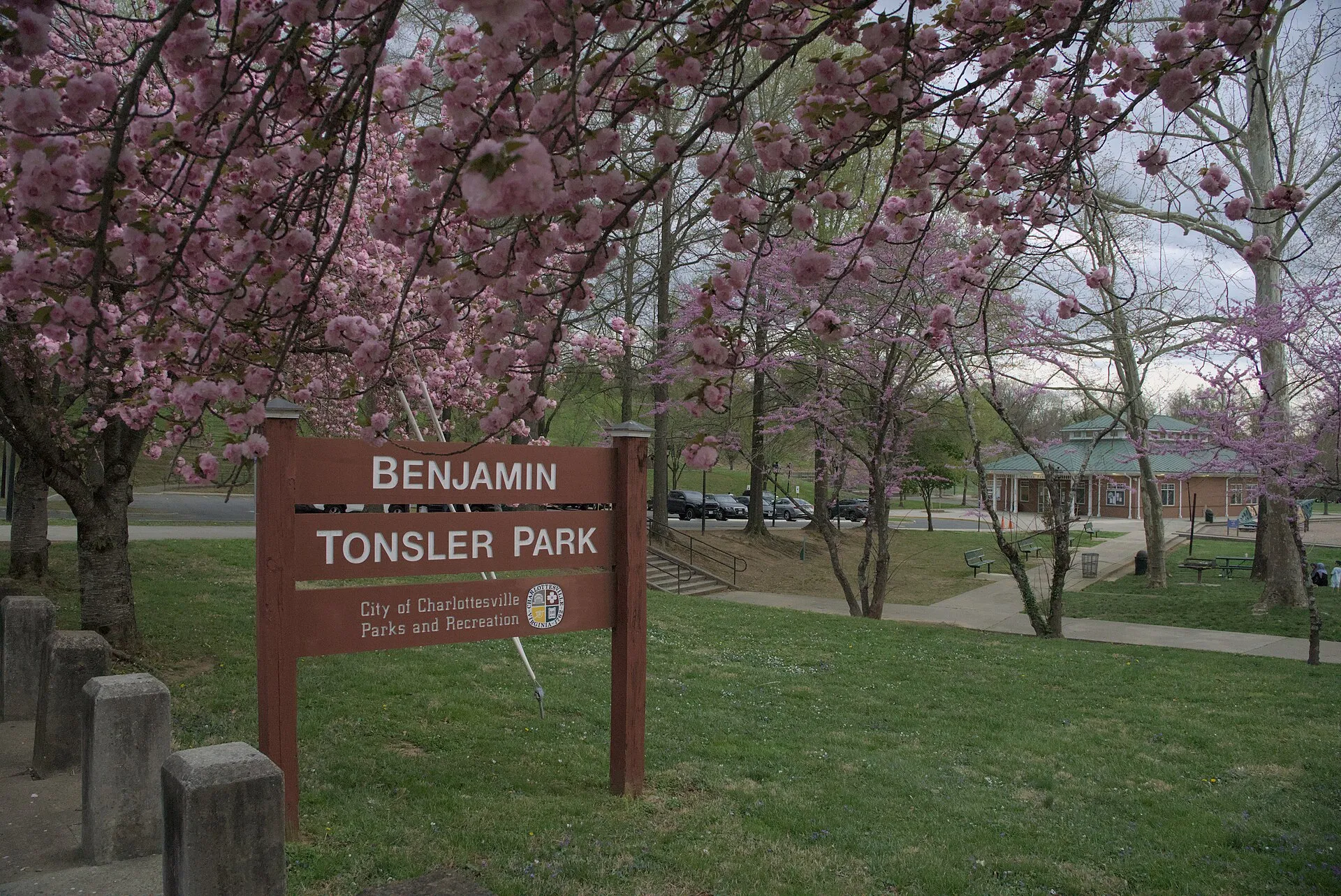 Benjamin Tonsler ParkBenjamin Tonsler Park is a busy neighborhood recreation space in Charlottesville, named for a local educator who worked during segregation.
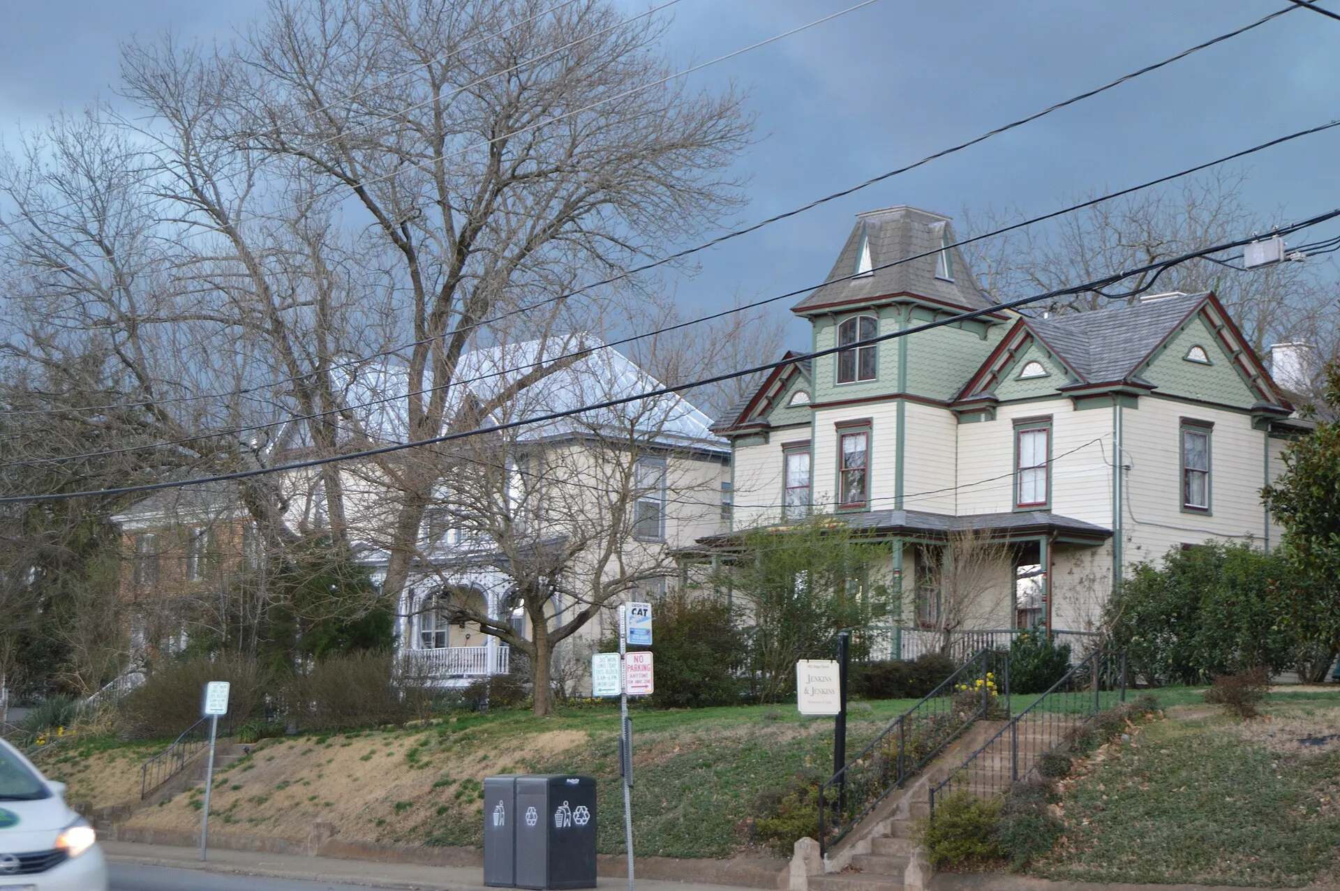 Ridge Street Historic DistrictRidge Street Historic District preserves a residential streetscape south of downtown Charlottesville.
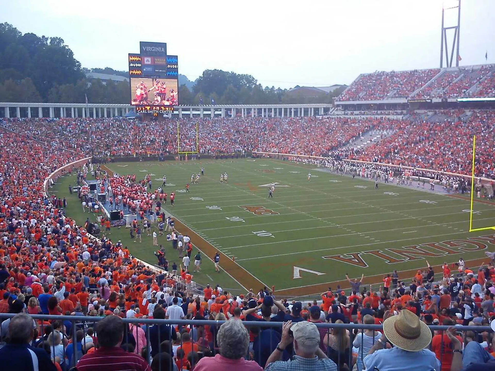 Scott StadiumScott Stadium is the University of Virginia’s football venue in Charlottesville.