


Neighborhood in Seattle · King County
Capitol Hill
Capitol Hill has several overlapping local centers, including Broadway, the Pike/Pine commercial corridor and Cal Anderson Park.
Photo 1 of 1
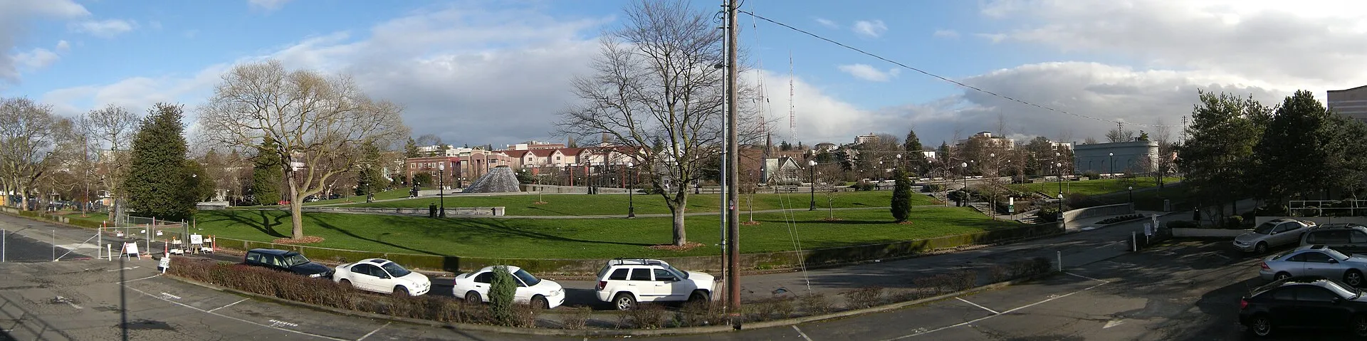
Cal Anderson Park in Capitol Hill, photographed in 2010
Cal Anderson Park in Capitol Hill, photographed in 2010
Creator: Joe Mabel
License: CC BY-SA 3.0
Changes: Resized and converted to WebP; may be cropped for display.
Broadway, Pike/Pine and public gathering spaces on a central Seattle ridge
About Capitol Hill
Capitol Hill has several overlapping local centers, including Broadway, the Pike/Pine commercial corridor and Cal Anderson Park. Older residential streets extend beyond those busy routes, while Capitol Hill Station brings light rail connections to the Broadway and East John Street area.
Broadway and Pike/Pine have different building histories
Broadway forms a principal commercial and social axis through Capitol Hill. Farther south, the Pike/Pine corridor developed around Seattle’s early automobile businesses, including dealerships, repair shops and suppliers.
The city’s conservation study describes brick and concrete auto-row buildings, often two to four stories, with ground-floor showrooms and vehicle storage above. Those larger commercial structures give Pike/Pine a different built form from the surrounding residential streets.
Cal Anderson Park beside the station area
Cal Anderson Park is at 1635 11th Avenue, southeast of the light rail station. Its fountain, reflecting pool, promenades and lawns provide a public gathering space within the neighborhood’s commercial setting.
The park also has play areas, a wading pool and a lighted athletic field. The north end marks the beginning of The AMP, Seattle’s AIDS Memorial Pathway.
Rail, buses and the First Hill Streetcar
Capitol Hill Station provides Link light rail access near Broadway and East John Street. Sound Transit’s station information also identifies nearby bus stops at Broadway and John, and at Broadway and Denny.
The First Hill Streetcar has a separate Broadway and Denny stop. Its platform and the light rail entrances are distinct parts of the station-area streets, with current service alerts available through the operator.
Check these on a visit
Try these in person before you commit to an address in Capitol Hill.
- Explore Broadway and the Pike/Pine corridor as separate parts of the neighborhood’s commercial geography.
- Walk Cal Anderson Park’s promenade and identify the sports field and north-end memorial pathway.
- Distinguish the Broadway and Denny streetcar stop from the Link station entrances.
Neighborhoods and districts near Capitol Hill
The closest neighborhoods and districts in Seattle, measured center to center.
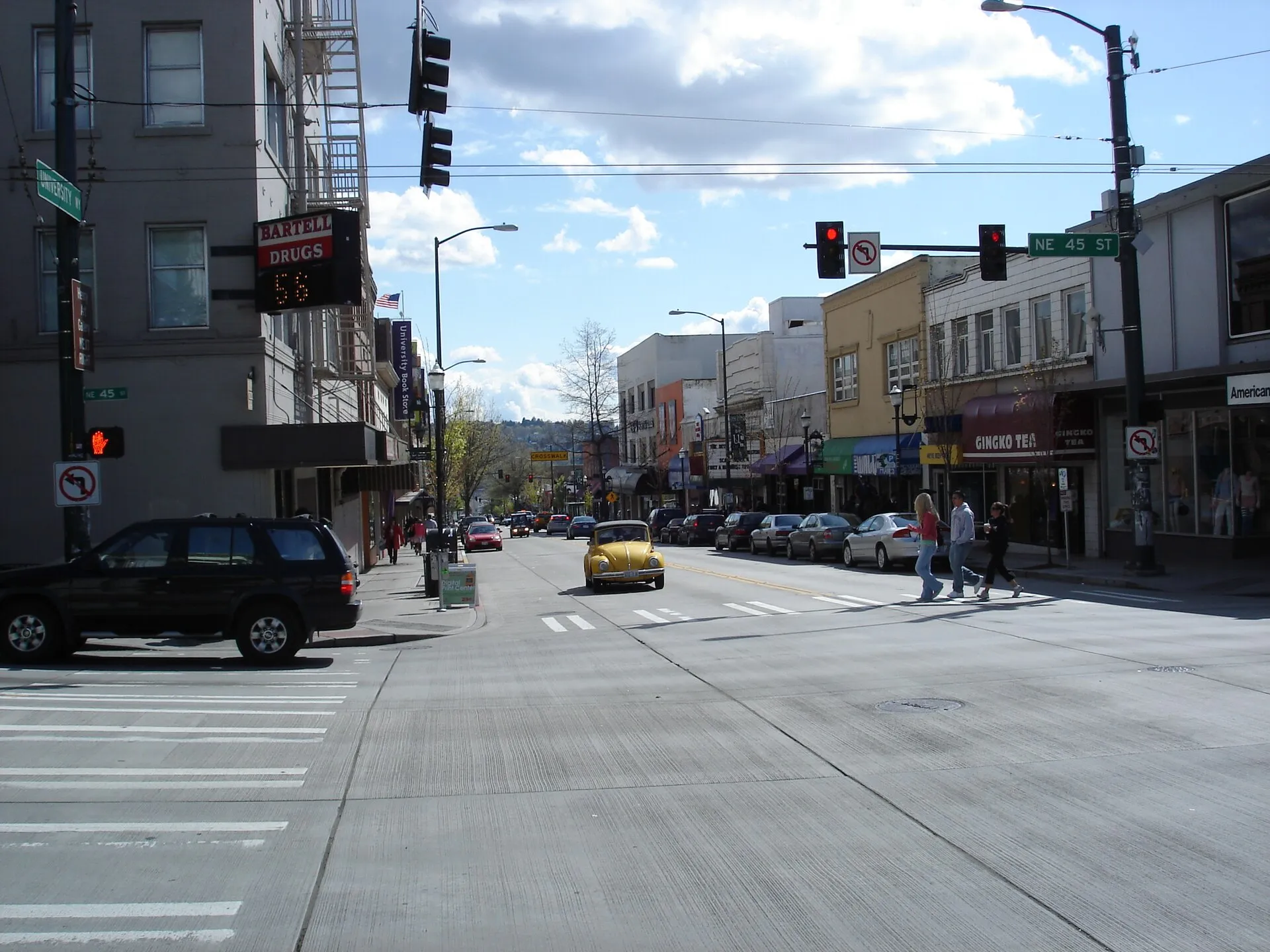 Under 1 miUniversity DistrictSeattle’s University District brings together the shops and cafes of University Way NE, businesses along Roosevelt Way and the University of Washington campus.
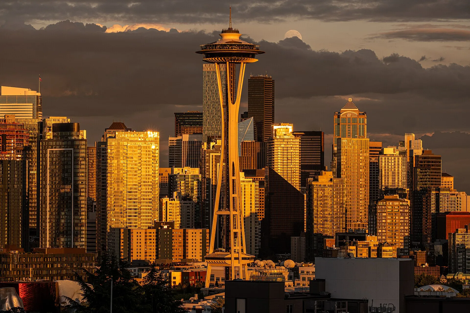 1.6 miQueen AnneQueen Anne’s hilltop streets have a neighborhood business district, while Kerry Park draws visitors to the southern slope for views over Seattle.
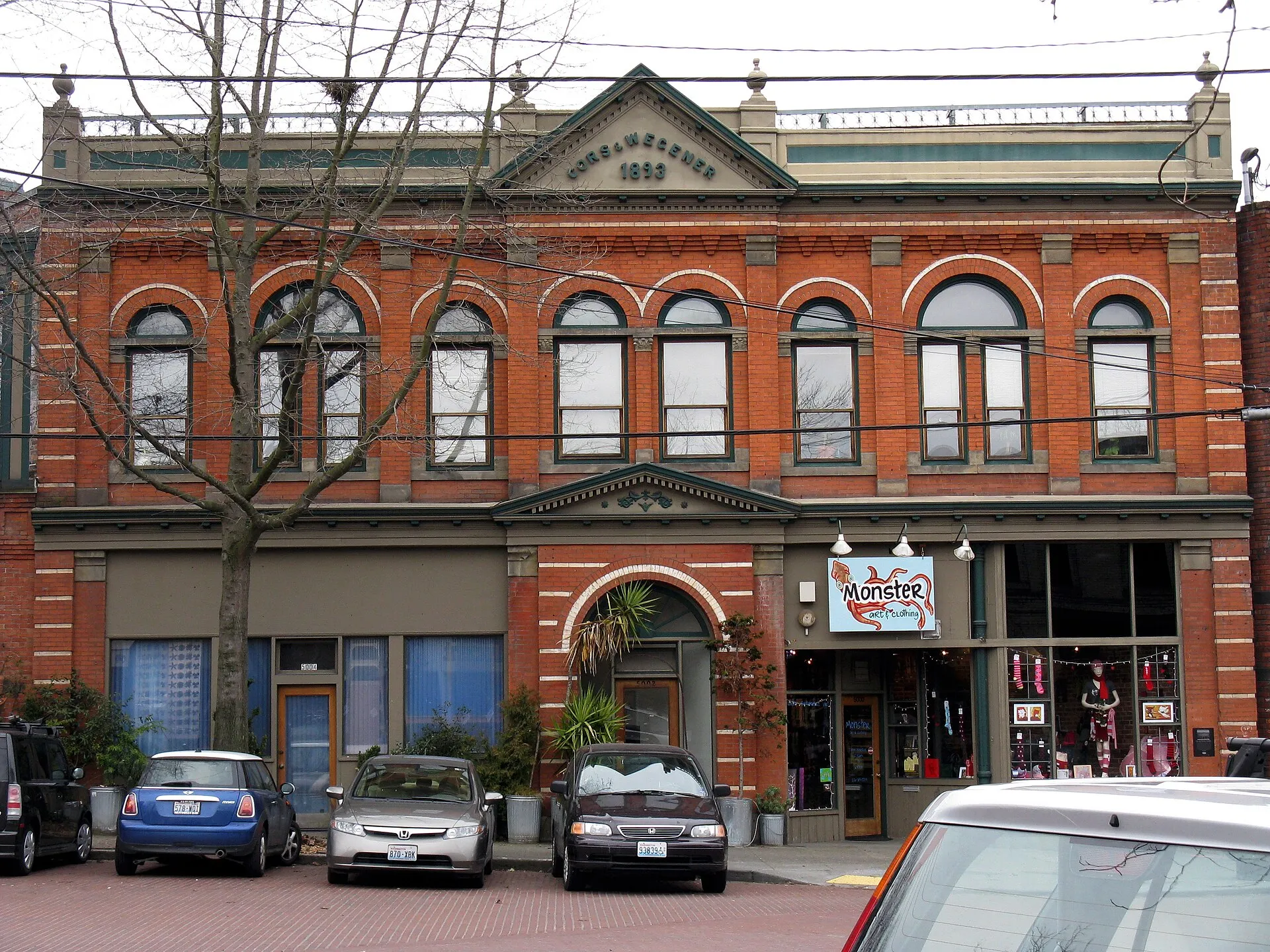 3.9 miBallardBallard’s older commercial center follows Ballard Avenue NW, while NW Market Street forms another main business corridor.
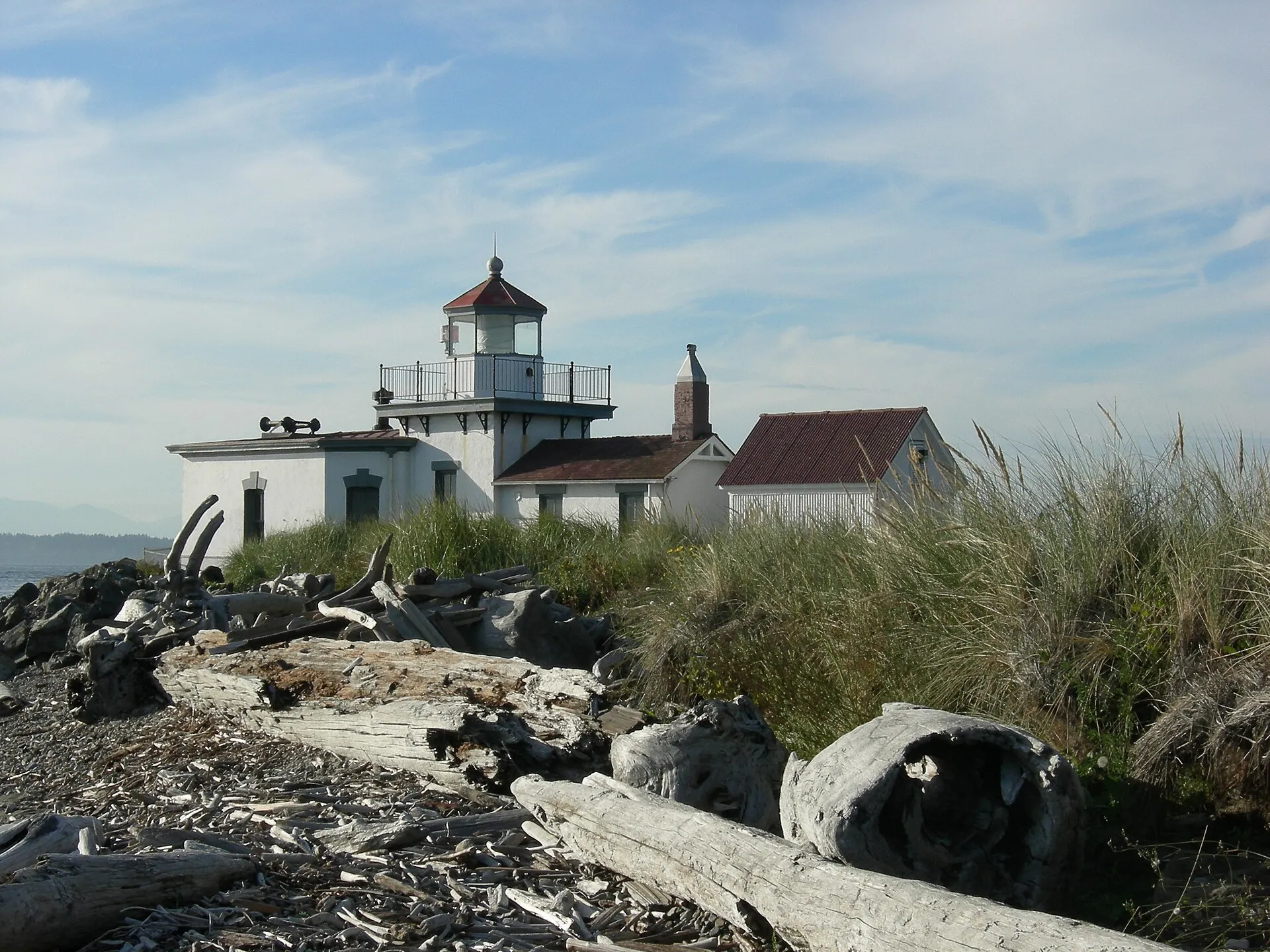 4.3 miMagnoliaMagnolia combines a neighborhood village center and residential streets with public recreation around Magnolia Playfield.
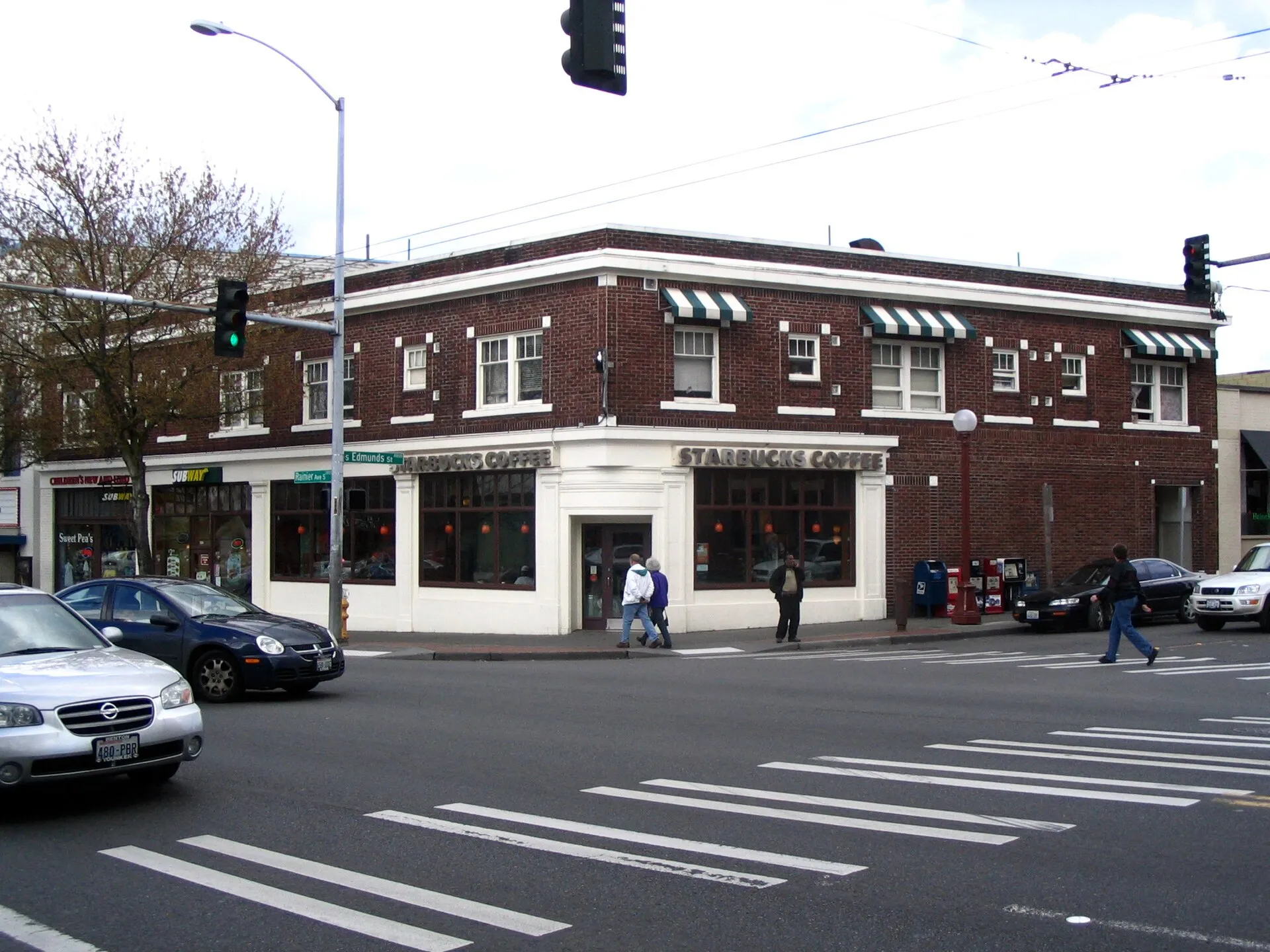 6.3 miColumbia CityColumbia City’s historic center follows Rainier Avenue South, where older commercial buildings sit close to houses, apartments, churches and Columbia Park.
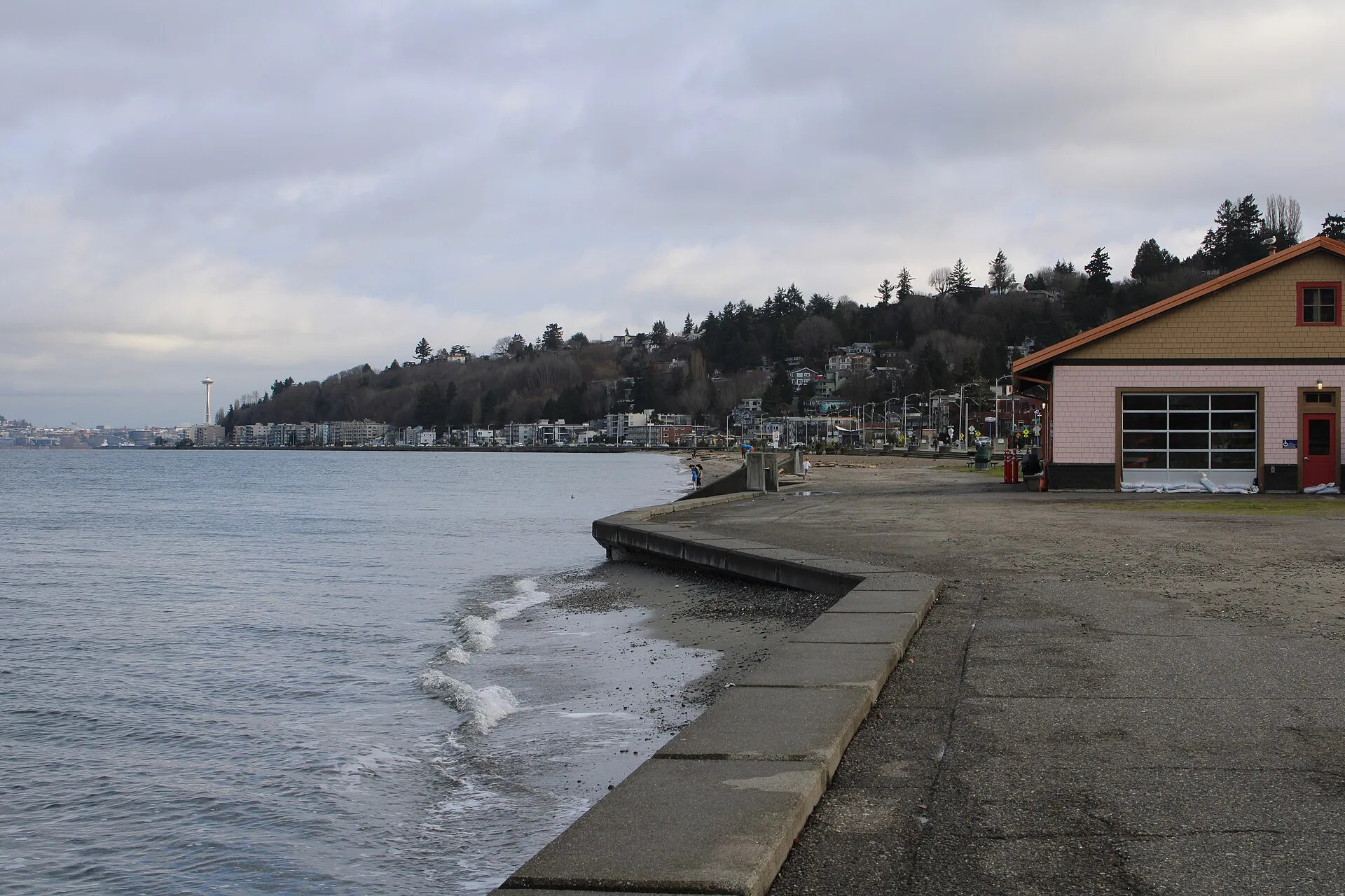 7.5 miWest SeattleWest Seattle covers several neighborhoods, with the Alaska Junction’s businesses inland and Alki Beach along the shoreline.
Guides about Capitol Hill
Sources & data notesReferences, reporting periods, and how to use this information
Information on this page is compiled from multiple sources and provided for general information. It may be incomplete or out of date, and we do not guarantee its accuracy, completeness, or timeliness. Independently verify important details with the original source, relevant authority, or a qualified professional before making decisions.
Statistics keep their reporting periods. Survey estimates are not current asking prices or quotes for an individual property. Displayed values are rounded.
- Auto-row buildings and the commercial corridorCity of Seattle — Pike/Pine Conservation StudySource checked
- Broadway and neighborhood commercial centersCity of Seattle — Capitol Hill Design GuidelinesSource checked
- Park layout, facilities and locationSeattle Parks — Cal Anderson ParkSource checked
- Rail, bus and streetcar connectionsSound Transit — Capitol Hill StationSource checked
Photo credits
- Cal Anderson Park in Capitol Hill, photographed in 2010Image credits and license
Cal Anderson Park in Capitol Hill, photographed in 2010
Creator: Joe Mabel
License: CC BY-SA 3.0
Changes: Resized and converted to WebP; may be cropped for display.